Bedfont, East
Settlement in Middlesex
England
Bedfont, East
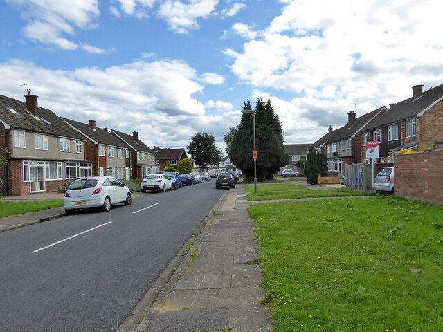
Bedfont is a small suburban village located in the borough of Hounslow, in the county of Middlesex, England. Situated in the eastern part of the borough, it is approximately 16 miles west of central London. The village is bordered by Feltham to the north, Ashford to the west, and Hatton to the east.
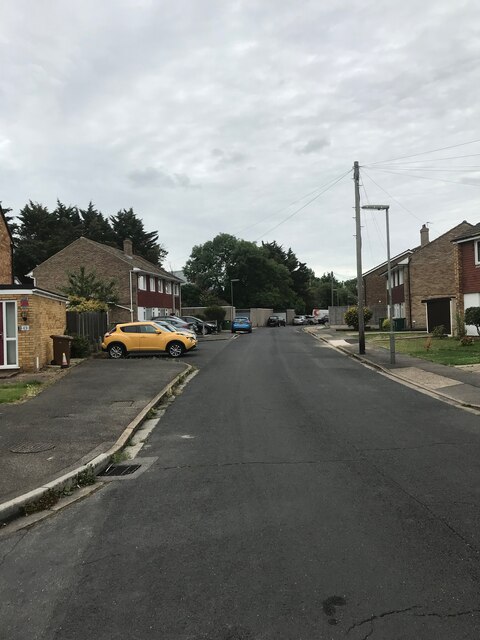
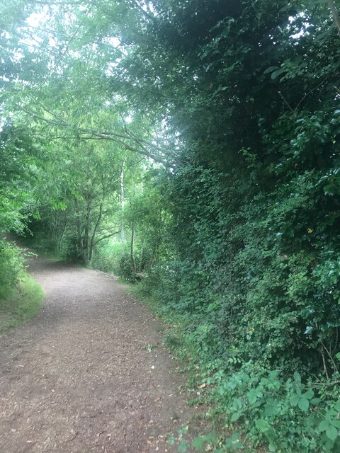
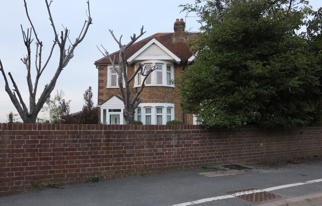
Historically, Bedfont was an ancient parish, with evidence of settlement dating back to the Roman era. Today, it retains some of its rural charm despite being surrounded by urban development. The village is primarily residential, with a mix of housing styles ranging from Victorian terraces to post-war estates.
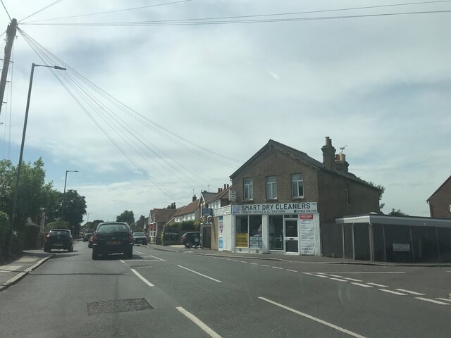
While Bedfont is relatively small in size, it offers residents a variety of amenities and services. The village has a few local shops, including convenience stores and a post office, catering to the daily needs of its inhabitants. Additionally, there are several pubs and restaurants in the area, providing options for dining and socializing.
Bedfont benefits from its proximity to Heathrow Airport, which lies just to the south. This has led to the establishment of various aviation-related businesses in the vicinity, providing employment opportunities for local residents.
Transportation options in Bedfont are convenient, with good road and rail connections. The village is served by Bedfont railway station, offering direct trains to London Waterloo. It is also well-connected by bus routes, providing easy access to neighboring towns and the wider London area.
Overall, Bedfont offers a peaceful suburban lifestyle, with a mix of amenities, good transport links, and a rich historical heritage.
If you have any feedback on the listing, please let us know in the comments section below.
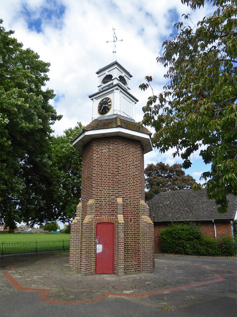
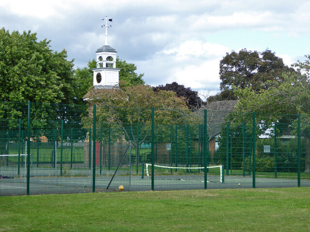
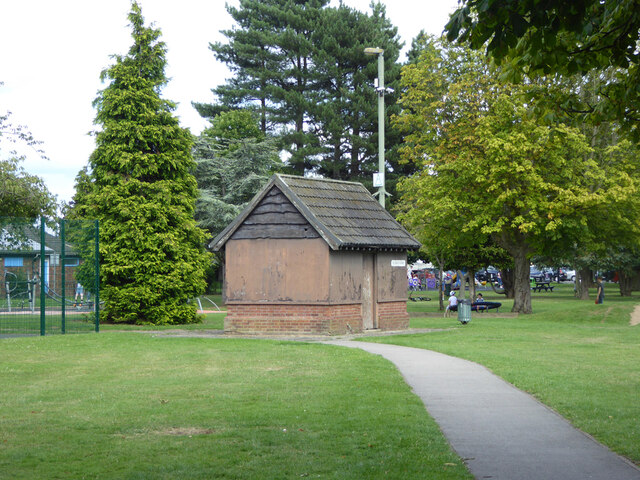
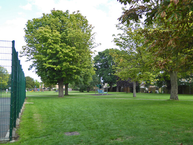
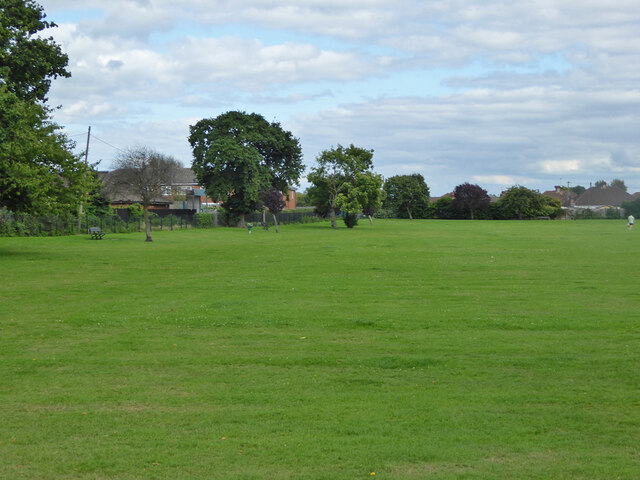
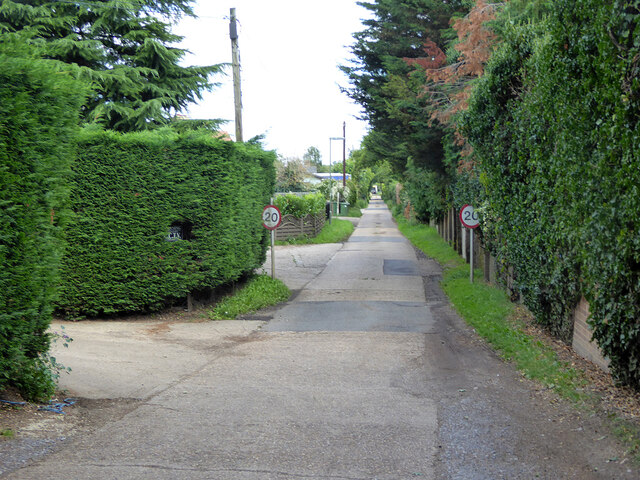
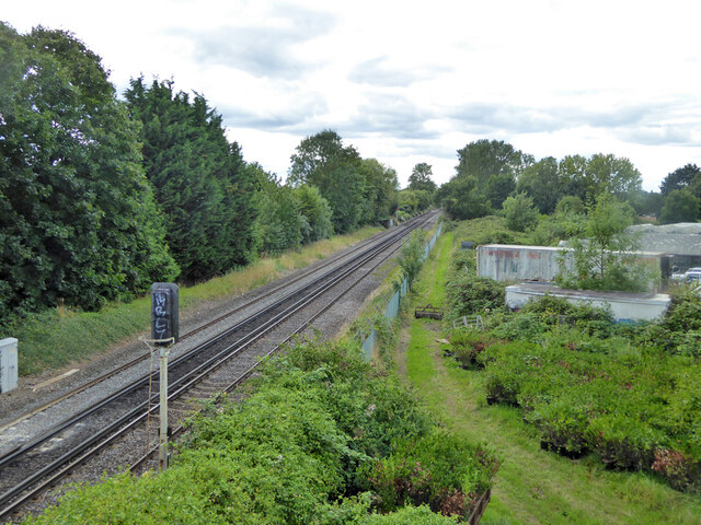
Bedfont, East Images
Images are sourced within 2km of 51.447799/-0.440048 or Grid Reference TQ0873. Thanks to Geograph Open Source API. All images are credited.


Bedfont, East is located at Grid Ref: TQ0873 (Lat: 51.447799, Lng: -0.440048)
Unitary Authority: Hounslow
Police Authority: Metropolitan
What 3 Words
///hype.calculating.sweep. Near Feltham, London
Nearby Locations
Related Wikis
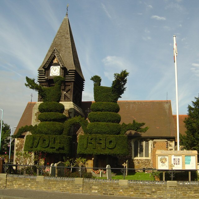
Bedfont
Bedfont is a suburb in the London Borough of Hounslow, approximately 15 miles (24 km) west of Charing Cross. Originally a distinct village, Bedfont has...

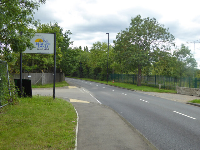
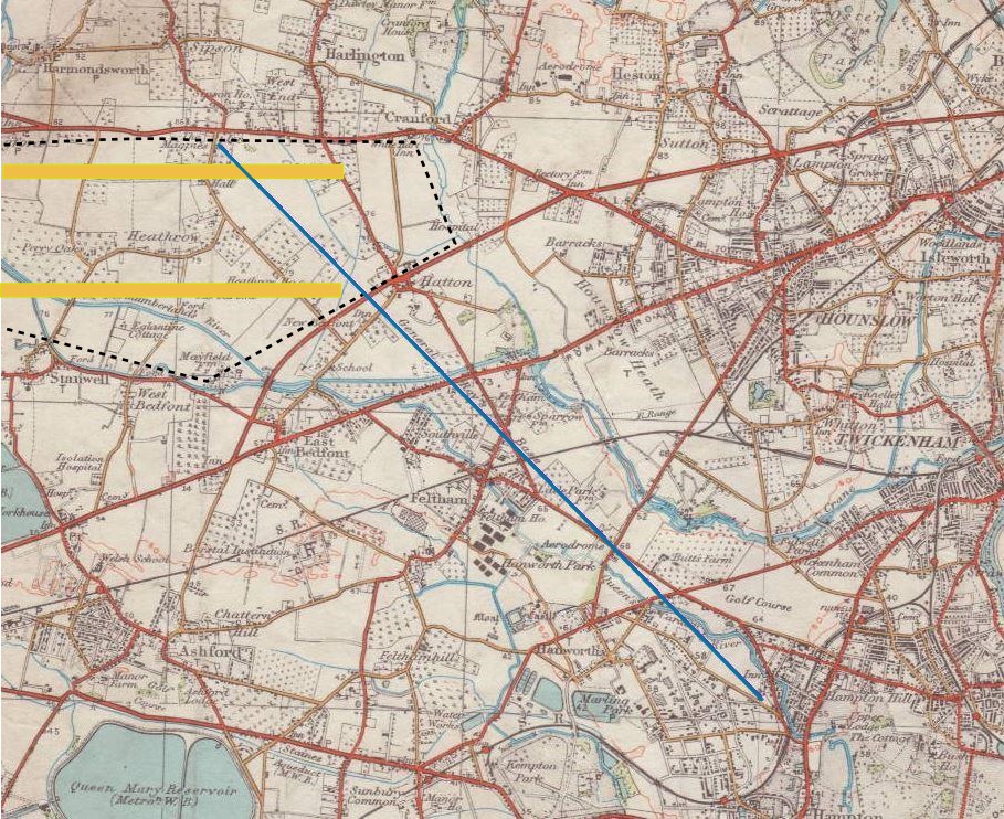
Bedfont Lakes Country Park
Bedfont Lakes Country Park is a 72.5-hectare Local Nature Reserve and Site of Metropolitan Importance for Nature Conservation in Bedfont in the London...
HM Prison Feltham
Feltham Young Offenders Institution (more commonly known as HM Prison Feltham) is a prison for male juveniles and Young Offenders Institution, occupying...

Radio Feltham
Radio Feltham was the first prison radio station in Europe, operating in HM Prison Feltham, a male juvenile prison and Young Offenders Institution in west...

Heathrow Terminal 4 railway station
Heathrow Terminal 4 is a railway station at Heathrow Terminal 4 served by the Elizabeth line. The separate Heathrow Terminal 4 tube station on the Piccadilly...
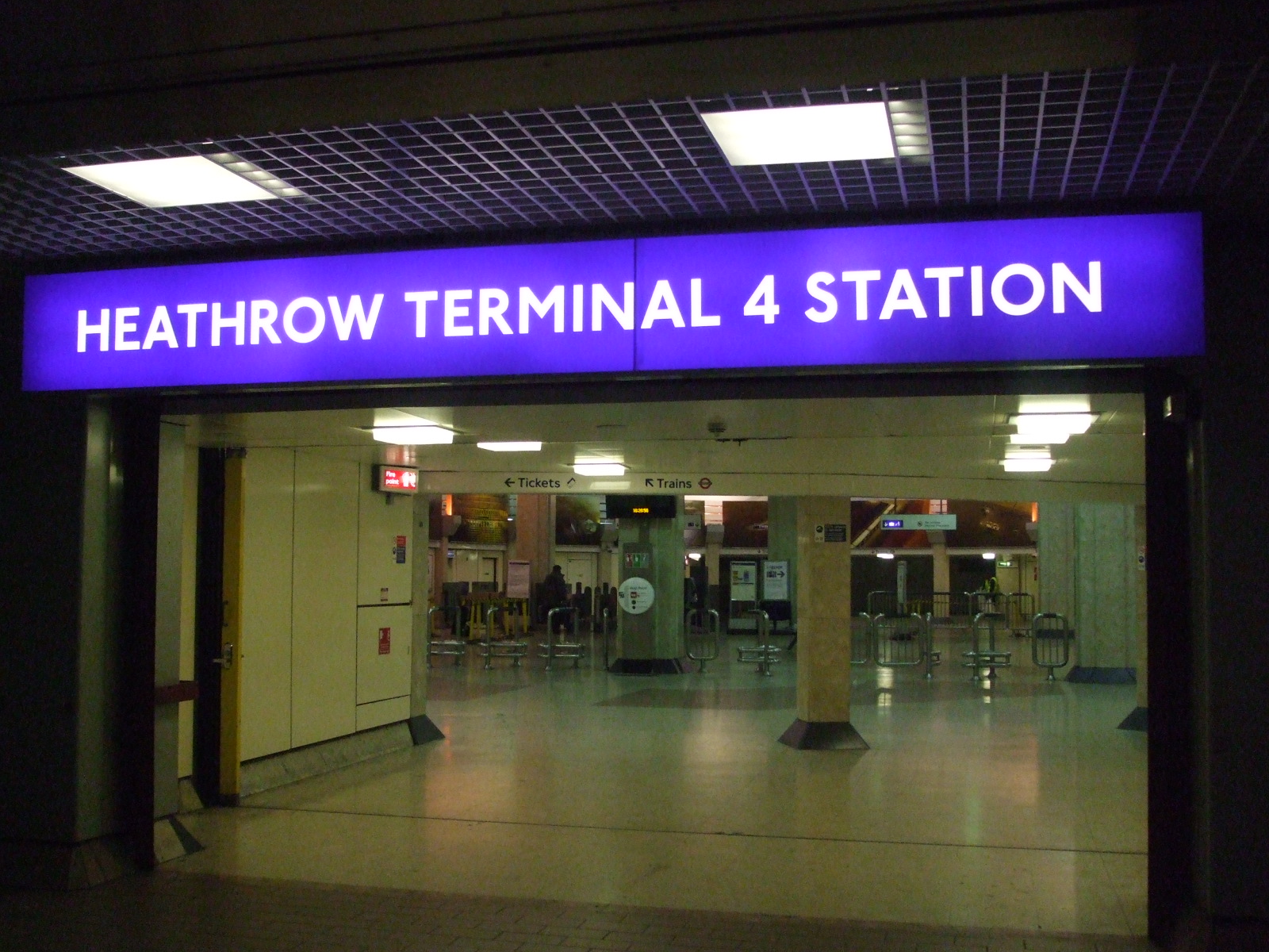
Heathrow Terminal 4 tube station
Heathrow Terminal 4 is a London Underground station at Heathrow Airport on the Heathrow branch of the Piccadilly line. The station is situated in Travelcard...

Heathrow Terminal 4
Heathrow Terminal 4 is an airport terminal at Heathrow Airport, the main airport serving London, England, situated to the south of the southern runway...

Rivers Academy West London
Rivers Academy West London is an 11–18 mixed secondary school and sixth form with academy status in Feltham, London, England. It specialises in business...
Nearby Amenities
Located within 500m of 51.447799,-0.440048Have you been to Bedfont, East?
Leave your review of Bedfont, East below (or comments, questions and feedback).