Beach, East

Settlement in Sussex Chichester

England

Beach, East

Across the fields to Coles Farm
Across the fields to Coles Farm Credit: Jeff Gogarty

Beachy Head is a famous chalk headland located in East Sussex, England. It is situated in Beachy Head Countryside Centre, about 2 miles west of the town of Eastbourne. Rising to an impressive height of 162 meters (531 feet) above sea level, it offers breathtaking panoramic views of the English Channel. This iconic landmark is known for its dramatic white cliffs, which have become an iconic symbol of the British coastline.

Beachy Head is a popular tourist destination, attracting thousands of visitors each year. The area offers various activities for outdoor enthusiasts, including hiking, birdwatching, and picnicking. There are several well-marked trails that allow visitors to explore the surrounding countryside and enjoy the stunning coastal scenery.

Aside from its natural beauty, Beachy Head is also known for its historical significance. The area has been inhabited for thousands of years, with evidence of human activity dating back to the Stone Age. The nearby Belle Tout Lighthouse, built in 1832, adds to the rich heritage of the area.

However, it is important to note that Beachy Head is also associated with a darker side. The cliffs have sadly gained a reputation as a site for suicide attempts, making it one of the most notorious suicide spots in the world. Local authorities and charities have implemented measures to address this issue, including the presence of trained volunteers who patrol the area to offer support and assistance to those in distress.

In conclusion, Beachy Head is a place of natural beauty and historical significance. It offers visitors stunning views, outdoor activities, and a glimpse into the rich heritage of the area. However, it is also important to recognize and address the sensitive nature of its association with suicide.

If you have any feedback on the listing, please let us know in the comments section below.
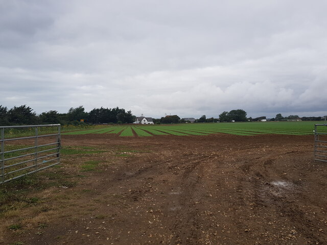
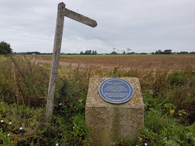
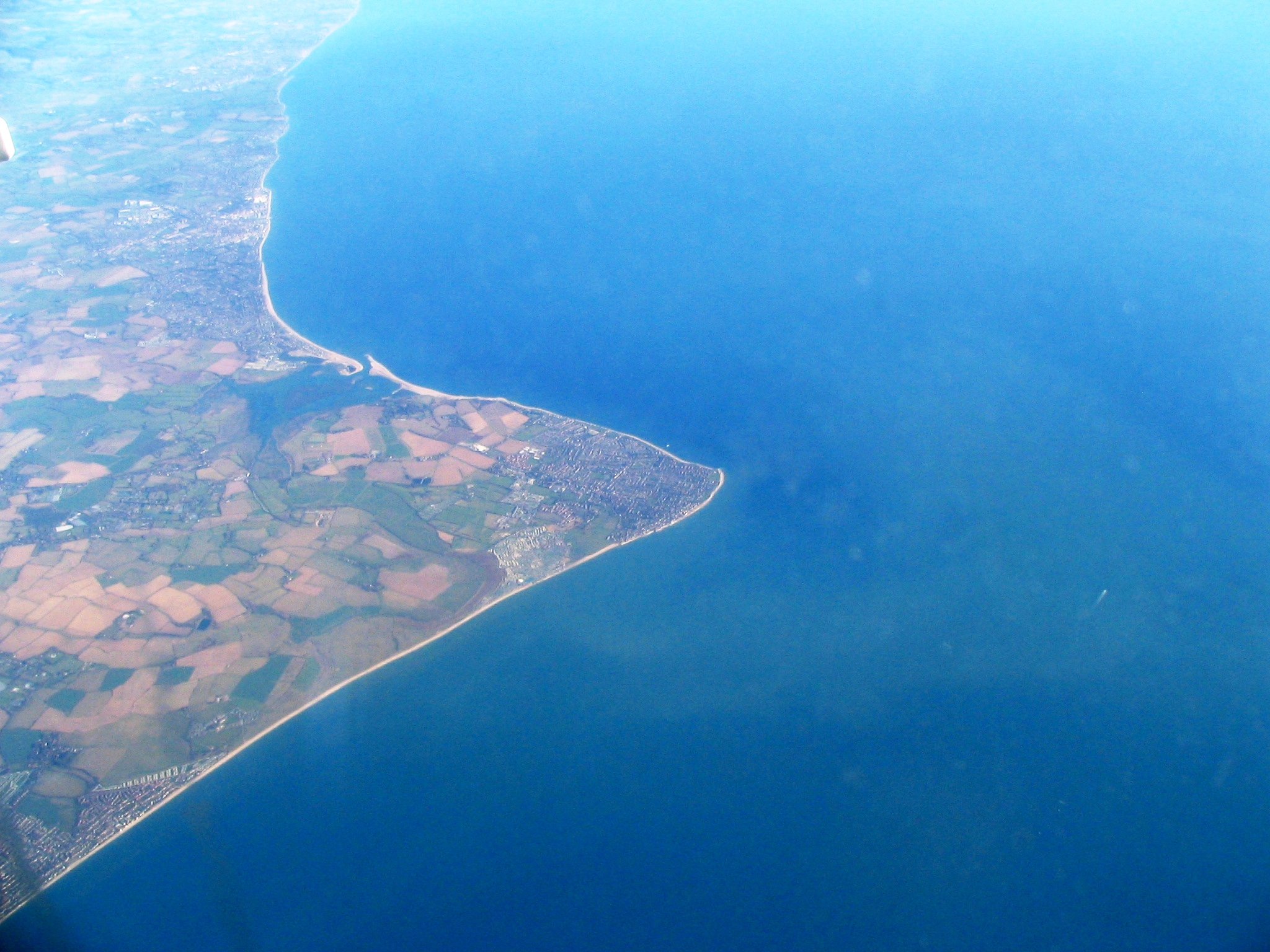
Beach, East Images

Images are sourced within 2km of 50.738729/-0.773396 or Grid Reference SZ8693. Thanks to Geograph Open Source API. All images are credited.

Across the fields to Coles Farm
The road to Church Norton
Ruined building at Pigeonhouse Farm, Church Norton
Lych gate at Church Norton
Chapel and cemetery at Church Norton
Font in St Wilfrid's Chapel, Church Norton
St Wilfrid's Chapel,  Church Norton This church is maintained by the Churches Conservation Trust. <span class="nowrap"><a title="https://www.visitchurches.org.uk/visit/church-listing/st-wilfrids-church-norton.html" rel="nofollow ugc noopener" href="https://www.visitchurches.org.uk/visit/church-listing/st-wilfrids-church-norton.html">Link</a><img style="margin-left:2px;" alt="External link" title="External link - shift click to open in new window" src="https://s1.geograph.org.uk/img/external.png" width="10" height="10"/></span>
St Wilfrid's Chapel, Church Norton
This church is maintained by the Churches Conservation Trust. LinkExternal link
Footpath sign and plaque, Rectory Lane, Church Norton
Thatched cottage on Rectory Lane, Church Norton
RC church in Selsey The Church of Our Lady of Mount Carmel and St Wilfred.
RC church in Selsey
The Church of Our Lady of Mount Carmel and St Wilfred.
Shops on Beach Road, Selsey
Lifeboat station, Selsey
House on Albion Road, Selsey
Sunnymead Drive, Selsey, West Sussex
Chichester Road, Selsey, West Sussex
Kingsway with the sea on the left, Selsey, West Sussex
Selsey Lifeboat Station Today's lifeboat station at Selsey operates an all weather Tyne class lifeboat (AWL 47-031 'Voluntary Worker') and a D class inshore lifeboat (ILB D691 'Betty and Thomas Moore'). Over its 150-year History the Crew have been presented with 10 awards for gallantry <span class="nowrap"><a title="http://www.selseylifeboats.co.uk/" rel="nofollow ugc noopener" href="http://www.selseylifeboats.co.uk/">Link</a><img style="margin-left:2px;" alt="External link" title="External link - shift click to open in new window" src="https://s1.geograph.org.uk/img/external.png" width="10" height="10"/></span>
Selsey Lifeboat Station
Today's lifeboat station at Selsey operates an all weather Tyne class lifeboat (AWL 47-031 'Voluntary Worker') and a D class inshore lifeboat (ILB D691 'Betty and Thomas Moore'). Over its 150-year History the Crew have been presented with 10 awards for gallantry LinkExternal link
Groynes at Selsey Beach Groynes on the beach at Selsey, from the promenade, with a slipway in view as well.
Groynes at Selsey Beach
Groynes on the beach at Selsey, from the promenade, with a slipway in view as well.
Show me another place!

Beach, East is located at Grid Ref: SZ8693 (Lat: 50.738729, Lng: -0.773396)

Administrative County: West Sussex

District: Chichester

Police Authority: Sussex

What 3 Words

///blend.servicing.trailers. Near Selsey, West Sussex

Nearby Locations

Beach, East East Beach

Related Wikis

Selsey Beach railway station

Selsey Beach railway station served the town of Selsey, West Sussex, England, from 1898 to 1904 on the West Sussex Railway. == History == The station was...

Selsey (electoral division)

Selsey is an electoral division of West Sussex in the United Kingdom, and returns one member to sit on West Sussex County Council. == Extent == The division...

Selsey

Selsey () is a seaside town and civil parish, about eight miles (12 km) south of Chichester in West Sussex, England. Selsey lies at the southernmost point...

The Academy, Selsey

The Academy Selsey, formerly the Manhood Community College and the Manhood Secondary Modern School, is an small co-educational non-selective academy for...

Nearby Amenities

Located within 500m of 50.738729,-0.773396
Created By: Merkaartor 0.11
Lat/Long: 50.7381622/-0.7738787
Created By: Merkaartor 0.11
Lat/Long: 50.7344979/-0.7733178
Created By: Merkaartor 0.11
Lat/Long: 50.7386739/-0.7696109
Created By: Merkaartor 0.11
Lat/Long: 50.741181/-0.7760033
Created By: Merkaartor 0.11
Lat/Long: 50.7380792/-0.7695948
Created By: Merkaartor 0.11
Lat/Long: 50.7379834/-0.7696957
Created By: Merkaartor 0.11
Lat/Long: 50.7367105/-0.7712893
Post Box
Brand: Royal Mail
Brand Wikidata: Q638098
Brand Wikipedia: en:Royal Mail
Collection Plate: CP7D
Collection Times: Mo-Fr 09:00; Sa 07:00
Last Checked: 2023-09-29
Old Ref: PO20 110
Operator: Royal Mail
Operator Wikidata: Q638098
Post Box Type: lamp
Ref: PO20 110D
Royal Cypher: EIIR
Royal Cypher Wikidata: Q33102113
Source: survey
Lat/Long: 50.7366318/-0.7709358
Created By: Merkaartor 0.11
Lat/Long: 50.7394663/-0.7798352
Created By: Merkaartor 0.11
Lat/Long: 50.7393829/-0.7795665
Created By: Merkaartor 0.11
Lat/Long: 50.7393651/-0.7793072
Created By: Merkaartor 0.11
Lat/Long: 50.7390643/-0.7793261
Created By: Merkaartor 0.11
Lat/Long: 50.7386176/-0.7796466
Created By: Merkaartor 0.11
Lat/Long: 50.7383585/-0.779821
Created By: Merkaartor 0.11
Lat/Long: 50.7383526/-0.7799719
Created By: Merkaartor 0.11
Lat/Long: 50.7361464/-0.7785059
Turning Circle
Lat/Long: 50.7355794/-0.7743186
Bench
Backrest: yes
Lat/Long: 50.7384558/-0.7683429
Eric Coates
Historic: memorial
Inscription: THIS VIEW ACROSS THE SEA TO BOGNOR REGIS INSPIRED ERIC COATES TO COMPOSE BY THE SLEEPY LAGOON IN 1930. IT BECAME THE BBC SIGNATURE TUNE FOR DESERT ISLAND DISCS
Material: steel
Memorial: plinth_and_Plaque
Openplaques Id: 2043
Lat/Long: 50.73844/-0.7683743
East Beach
Place: neighbourhood
Source: OS OpenData StreetView
Lat/Long: 50.7382732/-0.7730454
Park Farm
Place: farm
Source: OS OpenData StreetView
Lat/Long: 50.7412666/-0.7753475
Generator Source: solar
Power: generator
Lat/Long: 50.7386699/-0.7702835
Snip It
Addr City: Selsey, Chichester
Addr Housenumber: 10
Addr Street: Orchard Parade
Phone: +44 1243 602288
Shop: hairdresser
Source: survey
Website: https://www.snip-it.uk/
Lat/Long: 50.7352316/-0.7778355
Barrier: cycle_barrier
Bicycle: yes
Cycle Barrier: double
Cycle Barrier Installation: fixed
Foot: yes
Lat/Long: 50.738822/-0.7749348
Barrier: cycle_barrier
Bicycle: yes
Cycle Barrier: double
Cycle Barrier Installation: fixed
Foot: yes
Lat/Long: 50.7395278/-0.7762397
Barrier: cycle_barrier
Bicycle: yes
Cycle Barrier: double
Cycle Barrier Installation: fixed
Foot: yes
Lat/Long: 50.7382676/-0.7739424
Crossing
Crossing: unmarked
Lat/Long: 50.7392248/-0.7755422
Barrier: bollard
Bicycle: yes
Bollard: removable
Foot: yes
Material: metal
Motor Vehicle: no
Wheelchair: yes
Lat/Long: 50.7411791/-0.7760909
Life Ring
Colour: orange
Emergency: life_ring
Support: pole
Lat/Long: 50.7384479/-0.7683537
Place Of Worship
East Beach Evangelical Church
Addr City: Selsey
Addr Housenumber: 6
Addr Postcode: PO20 0PD
Addr Street: Marisfield Place
Denomination: evangelical
Fhrs Authority: Chichester
Fhrs Id: 30164
Fhrs Local Authority Id: 09/00155/FOOD
Religion: christian
Lat/Long: 50.7352354/-0.7771124
Defibrillator
Defibrillator Location: on front wall of 109
Emergency: defibrillator
Source: survey photo
Lat/Long: 50.7362492/-0.7707034
The data included in this document is from www.openstreetmap.org. The data is made available under ODbL.

Have you been to Beach, East?

Leave your review of Beach, East below (or comments, questions and feedback).