East Barsham
Settlement in Norfolk North Norfolk
England
East Barsham

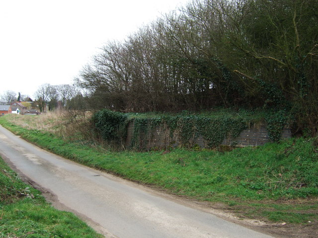
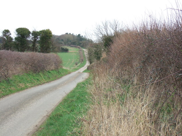
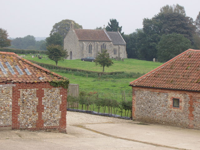
East Barsham is a small village located in the county of Norfolk, England. Situated approximately 4 miles northeast of the market town of Fakenham, East Barsham is surrounded by picturesque countryside and offers a tranquil and rural setting.
The village is characterized by its charming and traditional architecture, with many of its buildings dating back to the 17th and 18th centuries. One notable landmark is the East Barsham Manor, a stunning moated manor house that dates back to the 16th century. The manor is a Grade I listed building and is known for its beautiful gardens and historical significance.
Despite its small size, East Barsham has a strong sense of community, with a local pub, The Barsham Arms, serving as a popular gathering spot for residents and visitors alike. The pub offers a warm and welcoming atmosphere, along with a selection of traditional pub food and local ales.
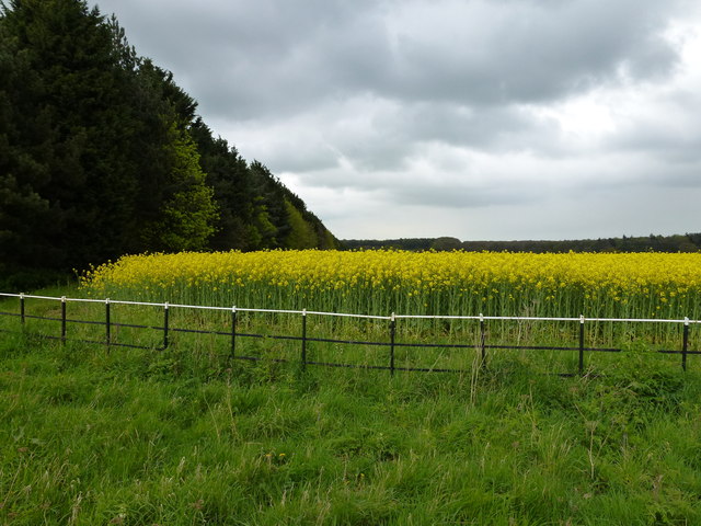
The village is also surrounded by a patchwork of farmland, providing a scenic backdrop for leisurely walks and outdoor activities. Nearby attractions include the picturesque village of Great Walsingham, which is home to the famous Walsingham Abbey and its beautiful gardens.
Overall, East Barsham offers a peaceful and idyllic retreat for those seeking a taste of rural Norfolk life. With its charming architecture and stunning natural surroundings, this small village is a hidden gem in the heart of the English countryside.
If you have any feedback on the listing, please let us know in the comments section below.
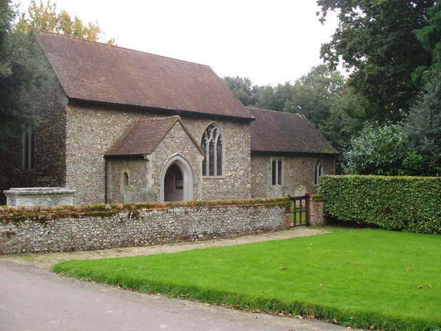
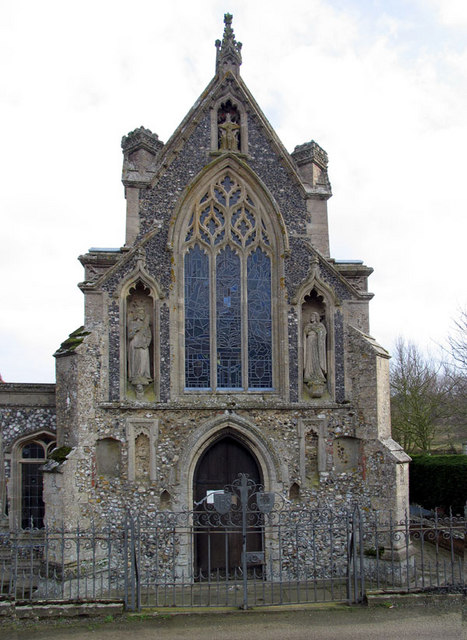
East Barsham Images
Images are sourced within 2km of 52.86789/0.848871 or Grid Reference TF9133. Thanks to Geograph Open Source API. All images are credited.


East Barsham is located at Grid Ref: TF9133 (Lat: 52.86789, Lng: 0.848871)
Administrative County: Norfolk
District: North Norfolk
Police Authority: Norfolk
What 3 Words
///greet.gifts.amends. Near Fakenham, Norfolk
Nearby Locations
Related Wikis

East Barsham
East Barsham is a village and former civil parish, now in the parish of Barsham, in the North Norfolk district, in the English county of Norfolk. In 1931...
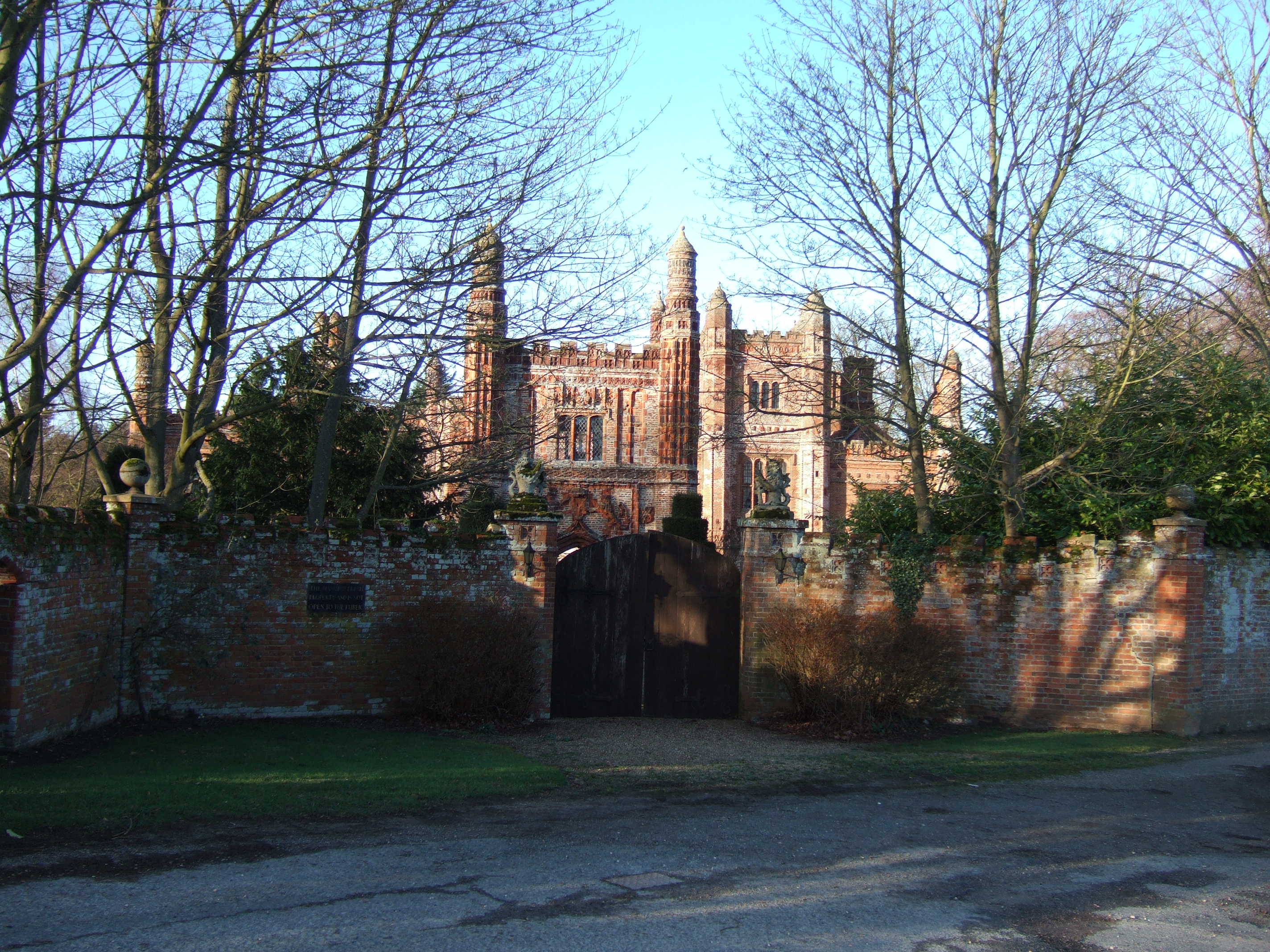
East Barsham Manor
East Barsham Manor is an important work of Tudor architecture, a leading and early example of a prodigy house, originally built in the 1520s. It is located...
North Barsham
North Barsham is a village and former civil parish, now in the parish of Barsham, in the North Norfolk district, in the county of Norfolk, England. In...

Barsham, Norfolk
Barsham is a civil parish in the English county of Norfolk, and includes the villages of East Barsham, North Barsham, West Barsham and Houghton St Giles...
West Barsham
West Barsham is a village and former civil parish, now in the parish of Barsham, in the North Norfolk district, in the county of Norfolk, England. In 1931...
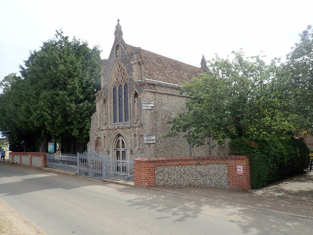
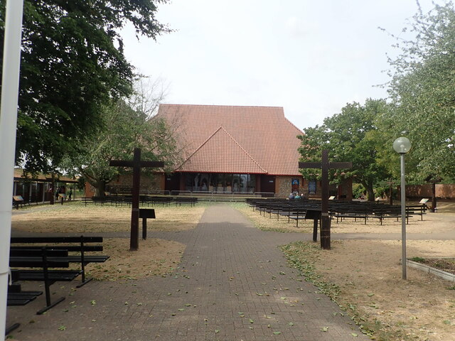
Basilica of Our Lady of Walsingham
The Basilica of Our Lady of Walsingham, informally known as the Slipper Chapel or the Chapel of Saint Catherine of Alexandria, is a Catholic basilica in...

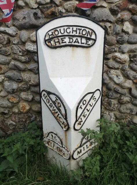
Houghton Saint Giles
Houghton Saint Giles is a village and former civil parish, now in the parish of Barsham, in the North Norfolk district, in the English county of Norfolk...

Great Snoring
Great Snoring is a rural village in North Norfolk by the River Stiffkey, in the east of England. It is situated approximately 25 miles (40 km) north-west...
Nearby Amenities
Located within 500m of 52.86789,0.848871Have you been to East Barsham?
Leave your review of East Barsham below (or comments, questions and feedback).