Ash Holt

Wood, Forest in Nottinghamshire

England

Ash Holt

Old Boundary Marker on the A614 Doncaster Road, Finningley County Boundary Marker against a brick garden wall on the northwest side of the junction of the A614 Doncaster Road and Honeysuckle Court. Words are WEST RIDING C C on the left face, NOTTS C C on the right face, both vertically and COUNTY on its top. On the boundary of Blaxton and Finningley parishes, Finningley was in Nottinghamshire until 1974 and thereafter both were in South Yorkshire and Doncaster.

Milestone Society National ID: YW_BLAFIN01cb
Old Boundary Marker on the A614 Doncaster Road, Finningley Credit: R Heywood

Ash Holt is a small village located in Nottinghamshire, England. Situated in the heart of the Sherwood Forest, it is known for its picturesque surroundings and abundant woodlands. The village is part of the wider district of Ashfield and is approximately 14 miles north of Nottingham city.

The name "Ash Holt" derives from the Old English words "æsc" meaning "ash tree" and "holt" meaning "wooded hill." This is a fitting name as the village is surrounded by dense forests and beautiful woodlands, making it a haven for nature enthusiasts and outdoor lovers.

The village itself is fairly small, with a close-knit community of residents. It has a charming rural character, with quaint cottages and traditional architecture. The village also boasts a village hall, a local pub, and a small primary school.

One of the main attractions of Ash Holt is its proximity to Sherwood Forest, famous for its association with the legendary outlaw Robin Hood. Visitors can explore the ancient forest, which is home to a variety of flora and fauna, including the iconic Major Oak, said to be Robin Hood's hiding place.

The village also offers ample opportunities for outdoor activities such as hiking, cycling, and horse riding. The surrounding woodlands provide a peaceful retreat and a chance to connect with nature.

Overall, Ash Holt is a charming village nestled in the heart of the Sherwood Forest, offering a tranquil environment and a close connection to nature. It is a place where residents and visitors can enjoy the beauty of the woodlands and embrace a rural way of life.

If you have any feedback on the listing, please let us know in the comments section below.
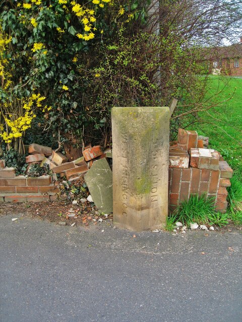
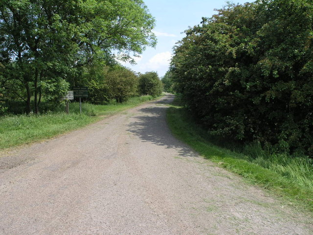
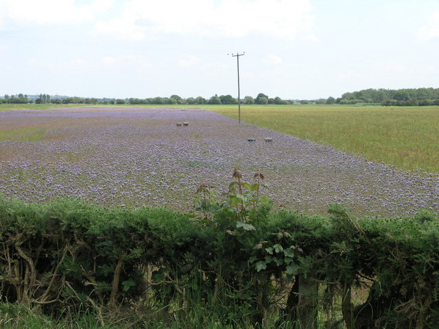
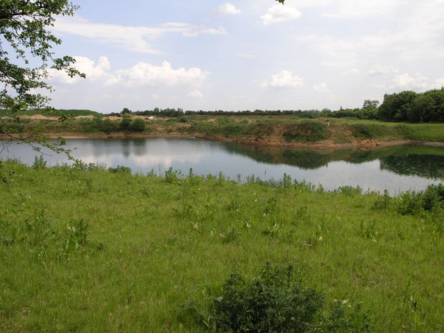
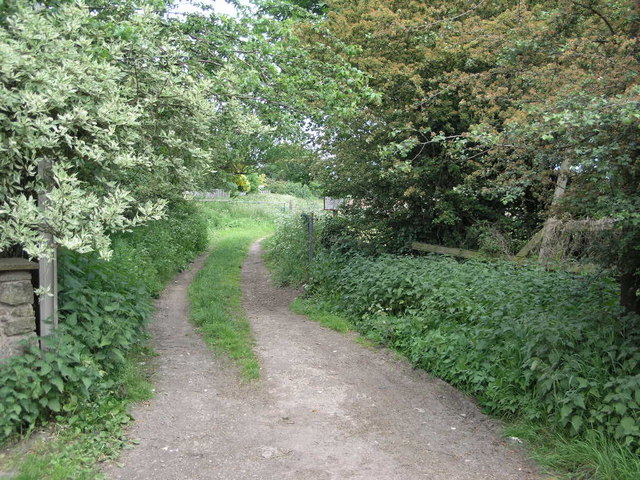
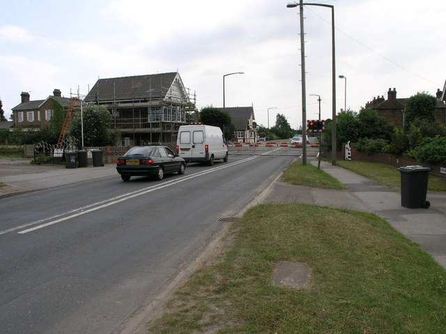
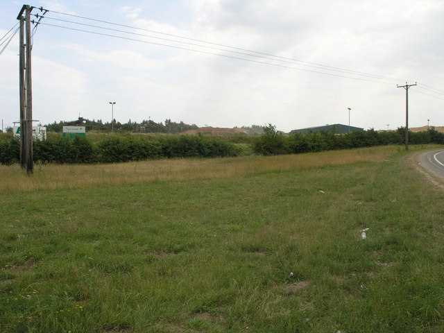
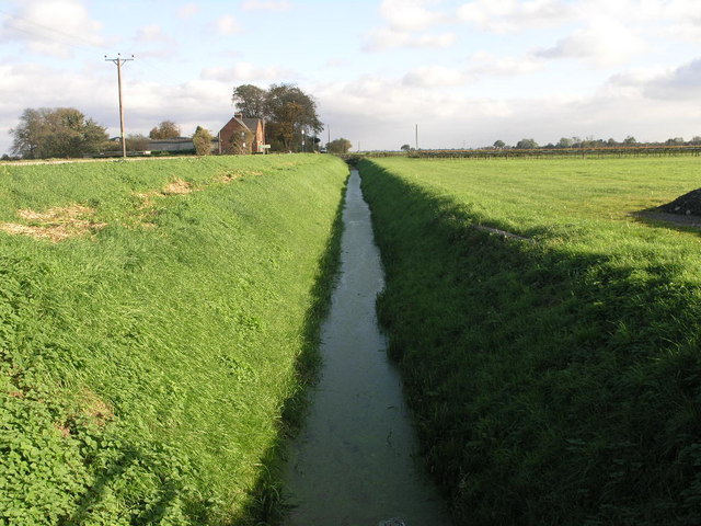
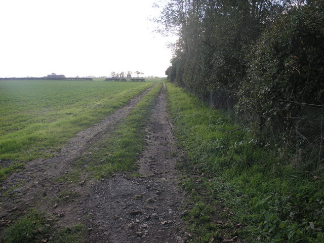
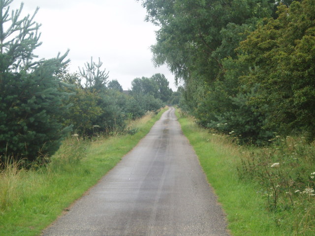
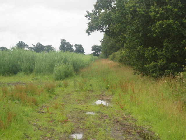
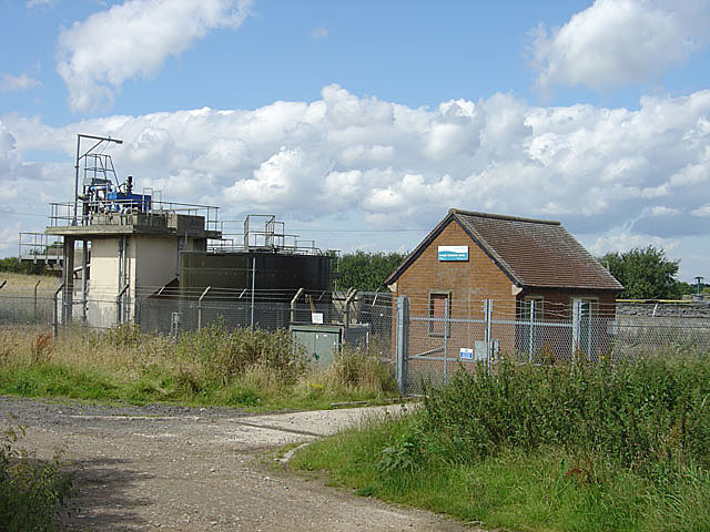
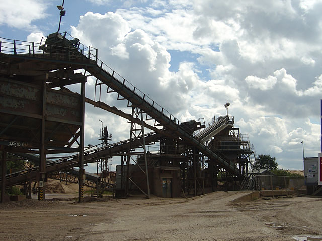
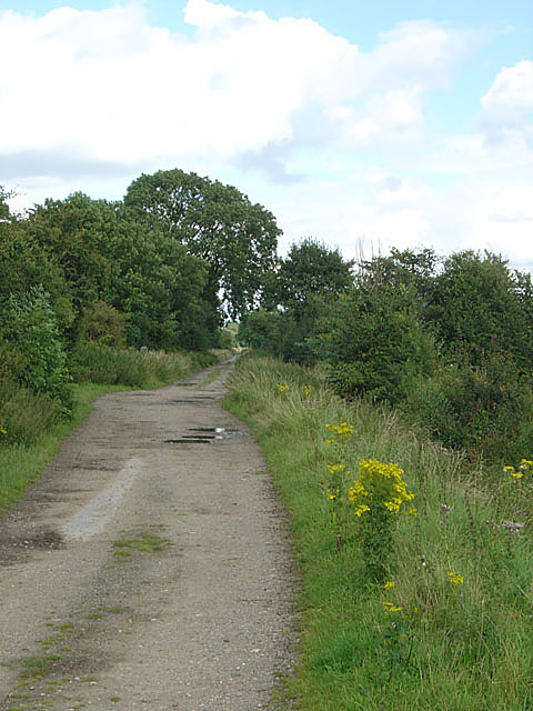
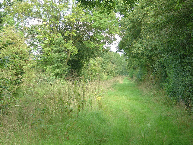
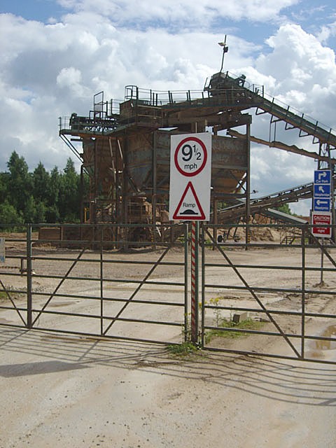
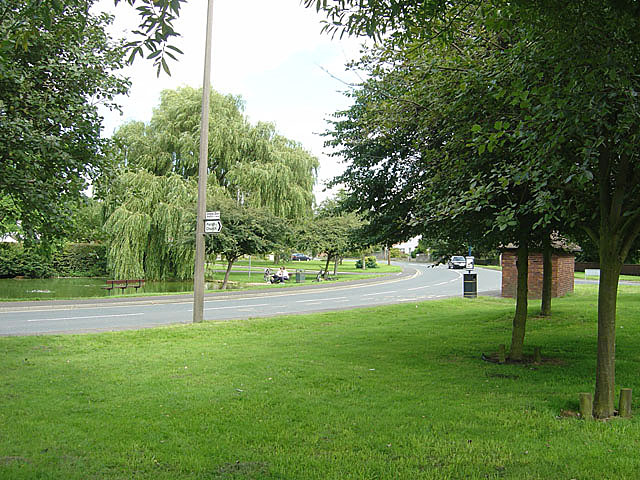
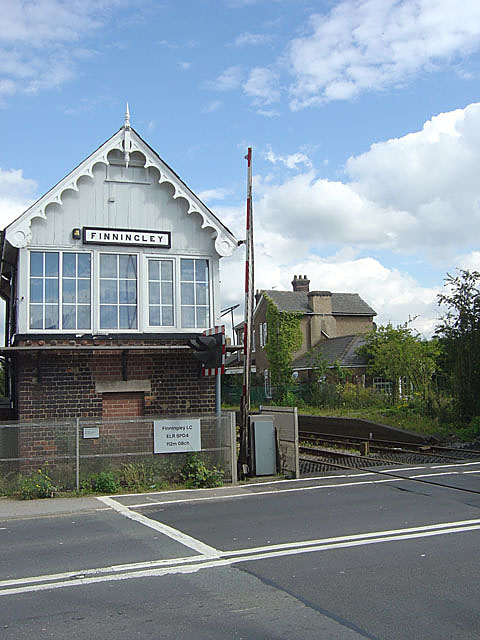
Ash Holt Images

Images are sourced within 2km of 53.494053/-0.96765512 or Grid Reference SE6800. Thanks to Geograph Open Source API. All images are credited.

Old Boundary Marker on the A614 Doncaster Road, Finningley County Boundary Marker against a brick garden wall on the northwest side of the junction of the A614 Doncaster Road and Honeysuckle Court. Words are WEST RIDING C C on the left face, NOTTS C C on the right face, both vertically and COUNTY on its top. On the boundary of Blaxton and Finningley parishes, Finningley was in Nottinghamshire until 1974 and thereafter both were in South Yorkshire and Doncaster.

Milestone Society National ID: YW_BLAFIN01cb
Old Boundary Marker on the A614 Doncaster Road, Finningley
County Boundary Marker against a brick garden wall on the northwest side of the junction of the A614 Doncaster Road and Honeysuckle Court. Words are WEST RIDING C C on the left face, NOTTS C C on the right face, both vertically and COUNTY on its top. On the boundary of Blaxton and Finningley parishes, Finningley was in Nottinghamshire until 1974 and thereafter both were in South Yorkshire and Doncaster. Milestone Society National ID: YW_BLAFIN01cb
Road to Ninescores This private road leads to Ninescores Farm in the next square east.
Road to Ninescores
This private road leads to Ninescores Farm in the next square east.
Bee Food This field of purple flowers (thistles perhaps?) are clearly designed to feed the resident bees.
Bee Food
This field of purple flowers (thistles perhaps?) are clearly designed to feed the resident bees.
Flooded Quarry This former sand quarry which is also former woodland is no longer either since it is now full of water.
Flooded Quarry
This former sand quarry which is also former woodland is no longer either since it is now full of water.
Footpath To Blaxton Common These trees almost form an arch over the entrance to a footpath that leads from Blaxton to Blaxton Common.
Footpath To Blaxton Common
These trees almost form an arch over the entrance to a footpath that leads from Blaxton to Blaxton Common.
Finningley Crossing Just to the left of the signal box is the site of the former railway station.
Finningley Crossing
Just to the left of the signal box is the site of the former railway station.
Shared Quarry The sign boards suggest this quarry near Finningley is shared by Lafarge and Tarmac.
Shared Quarry
The sign boards suggest this quarry near Finningley is shared by Lafarge and Tarmac.
Drain to the Boundary The sign in front of the house is for the county of Nottinghamshire despite this point being further north than Rotherham.
Drain to the Boundary
The sign in front of the house is for the county of Nottinghamshire despite this point being further north than Rotherham.
Corner Track In the NE corner of this square this farm track runs by the side of woodland.  The only other feature in this square being a railway line between Doncaster and Gainsborough.
Corner Track
In the NE corner of this square this farm track runs by the side of woodland. The only other feature in this square being a railway line between Doncaster and Gainsborough.
Ninescores Lane
Ninescores Lane
Farmland south of Ninescores Lane
Finningley Sewage Works This is a much larger installation than would normally be necessary for a village the size of Finningley because it also has to deal the neighbouring former RAF base.
Finningley Sewage Works
This is a much larger installation than would normally be necessary for a village the size of Finningley because it also has to deal the neighbouring former RAF base.
Finningley Quarry This is a sand extraction quarry operated by Lafarge
Finningley Quarry
This is a sand extraction quarry operated by Lafarge
Fiftyeights Road There is a fascination with the names of these country tracks; this one in particular defies a logical answer.
Fiftyeights Road
There is a fascination with the names of these country tracks; this one in particular defies a logical answer.
Bridleway near Springs Farm The right angle bend in the bridleway brings a dramatic change of character compared with <a href="https://www.geograph.org.uk/photo/502707">SK6998 : Bridleway near Springs Farm</a>
Bridleway near Springs Farm
The right angle bend in the bridleway brings a dramatic change of character compared with SK6998 : Bridleway near Springs Farm
Have you an accurate speedo? Speed limit sign at Finningley Quarry
Have you an accurate speedo?
Speed limit sign at Finningley Quarry
Finningley Green A typical English village green with duckpond, bus shelter and (out of view) telephone kiosk.
Finningley Green
A typical English village green with duckpond, bus shelter and (out of view) telephone kiosk.
Finningley Signal Box Looking very smart after the previous year's re-decoration (See Michael Patterson's picture).
Finningley Signal Box
Looking very smart after the previous year's re-decoration (See Michael Patterson's picture).
Show me another place!

Ash Holt is located at Grid Ref: SE6800 (Lat: 53.494053, Lng: -0.96765512)

Unitary Authority: Doncaster

Police Authority: South Yorkshire

What 3 Words

///peach.shut.bullion. Near Finningley, South Yorkshire

Nearby Locations

Ash Holt

Related Wikis

Blaxton

Blaxton is a village in the Metropolitan Borough of Doncaster (part of South Yorkshire, England), on the border with Lincolnshire. It lies to the north...

Finningley railway station

Finningley railway station was a railway station built to serve the villages of Finningley and Blaxton, South Yorkshire, England. == History == The first...

Finningley

Finningley is a village and civil parish in the City of Doncaster, South Yorkshire, England. Historically in Nottinghamshire, it lies on the A614 road...

Doncaster Sheffield Airport

Doncaster Sheffield Airport (IATA: DSA, ICAO: EGCN), formerly named and commonly referred to as Robin Hood Airport, was an international airport in Finningley...

Nearby Amenities

Located within 500m of 53.494053,-0.96765512
Bus Stop
Bank End Road/Wroot Road
Naptan AtcoCode: 370046236
Naptan Bearing: SE
Naptan CommonName: Bank End Road/Wroot Road
Naptan Indicator: 46236
Naptan Landmark: ASH HOLT INDUSTRIAL ESTATE
Naptan PlusbusZoneRef: ROTHCEN
Naptan Street: Bank End Road
Naptan Verified: no
Source: naptan_import
Lat/Long: 53.4935855/-0.9716855
Bus Stop
Bank End Road/Wroot Road
Naptan AtcoCode: 370046237
Naptan Bearing: NW
Naptan CommonName: Bank End Road/Wroot Road
Naptan Indicator: 46237
Naptan Landmark: ASH HOLT INDUSTRIAL ESTATE
Naptan PlusbusZoneRef: ROTHCEN
Naptan Street: Bank End Road
Naptan Verified: no
Source: naptan_import
Lat/Long: 53.493523/-0.9717322
Old Bank End Farm
Alt Name: Old Bank End
Place: farm
Source: Bing
Lat/Long: 53.4923418/-0.9613045
The data included in this document is from www.openstreetmap.org. The data is made available under ODbL.

Have you been to Ash Holt?

Leave your review of Ash Holt below (or comments, questions and feedback).