Brookside Covert
Wood, Forest in Oxfordshire South Oxfordshire
England
Brookside Covert
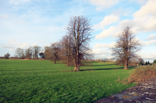
Brookside Covert is a picturesque woodland area located in Oxfordshire, England. Situated in the heart of the county, this forested retreat is nestled within the stunning landscape of the Chiltern Hills. Spanning approximately 100 acres, Brookside Covert is a nature lover's paradise.
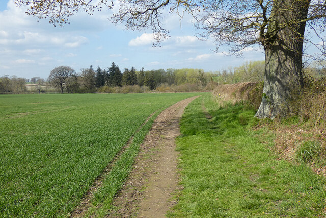
The woodland is predominantly composed of native deciduous trees such as oak, beech, and birch, which create a diverse and vibrant canopy throughout the forest. The forest floor is adorned with a rich variety of flora, including bluebells, wild garlic, and wood anemones, providing a colorful and enchanting display during the spring months.
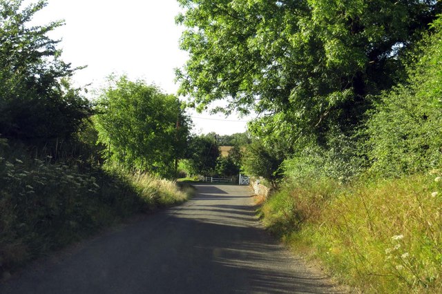
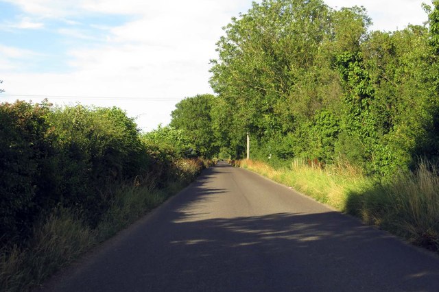
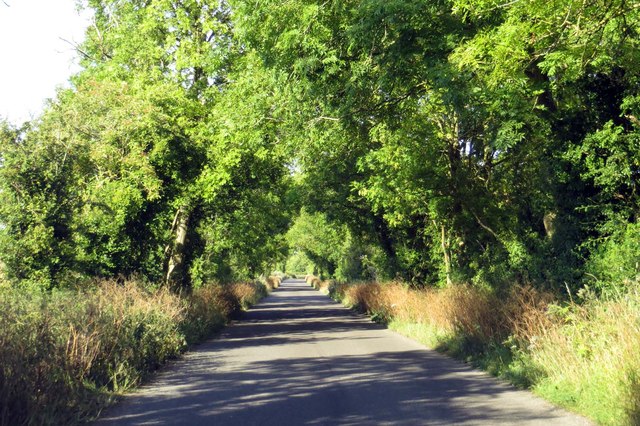
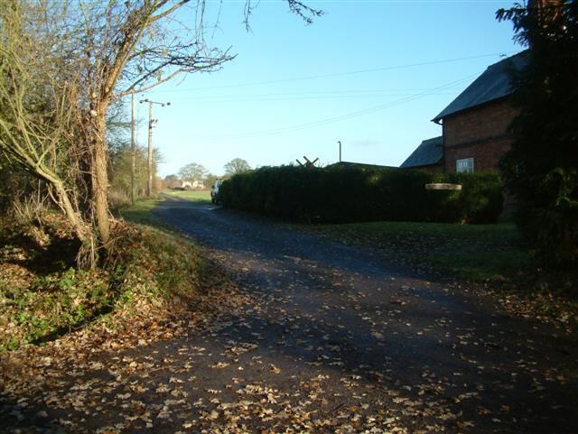
The area is crisscrossed with a network of well-maintained footpaths, offering visitors the opportunity to explore the woodland at their leisure. These paths lead to hidden glades, babbling brooks, and secluded ponds, providing a tranquil and peaceful setting for leisurely walks or picnics.
Brookside Covert is not only a haven for flora and fauna but also a sanctuary for wildlife. The forest provides a home for a diverse range of species, including deer, squirrels, and a variety of birdlife. Nature enthusiasts can spot buzzards soaring overhead, hear the melodic songs of woodland birds, and if lucky, catch a glimpse of a shy badger or fox.
This woodland retreat also offers educational opportunities, with guided nature walks and workshops available for both children and adults. These activities provide insight into the importance of conservation and the delicate balance of ecosystems.
Overall, Brookside Covert is a beautiful and serene woodland area, offering visitors a chance to escape the hustle and bustle of everyday life and immerse themselves in the natural beauty of Oxfordshire's woodlands.
If you have any feedback on the listing, please let us know in the comments section below.
Brookside Covert Images
Images are sourced within 2km of 51.672498/-1.0104456 or Grid Reference SU6897. Thanks to Geograph Open Source API. All images are credited.


Brookside Covert is located at Grid Ref: SU6897 (Lat: 51.672498, Lng: -1.0104456)
Administrative County: Oxfordshire
District: South Oxfordshire
Police Authority: Thames Valley
What 3 Words
///moisture.herb.dissolves. Near Watlington, Oxfordshire
Nearby Locations
Related Wikis
Knightsbridge Lane
Knightsbridge Lane is a 1.7-hectare (4.2-acre) biological Site of Special Scientific Interest just north of Watlington, Oxfordshire.This site consists...
Pyrton
Pyrton is a small village and large civil parish in Oxfordshire about 1 mile (1.6 km) north of the small town of Watlington and 5 miles (8 km) south of...

South Weston
South Weston is a village and former civil parish, now in the parish of Lewknor, in the South Oxfordshire district, in the county of Oxfordshire, England...
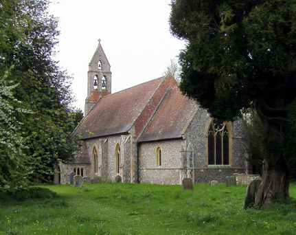
St Mary's Church, Pyrton
St Mary's Church is the Church of England parish church of Pyrton, Oxfordshire, England. Its parish is part of the benefice of Icknield, in the deanery...

Stoke Talmage
Stoke Talmage is a village and civil parish 4+1⁄2 miles (7 km) south of Thame in Oxfordshire. The 2001 Census recorded the parish population as 49. Because...
Shirburn
Shirburn is a village and civil parish about 6 miles (10 km) south of Thame in Oxfordshire. It contains the Grade I listed, 14th-century Shirburn Castle...
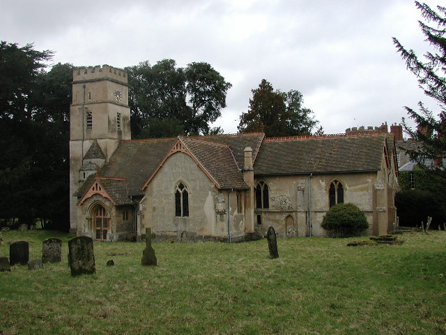
All Saints Church, Shirburn
All Saints' Church is the redundant Church of England parish church of the parish of Shirburn, Oxfordshire, England. It is recorded in the National Heritage...
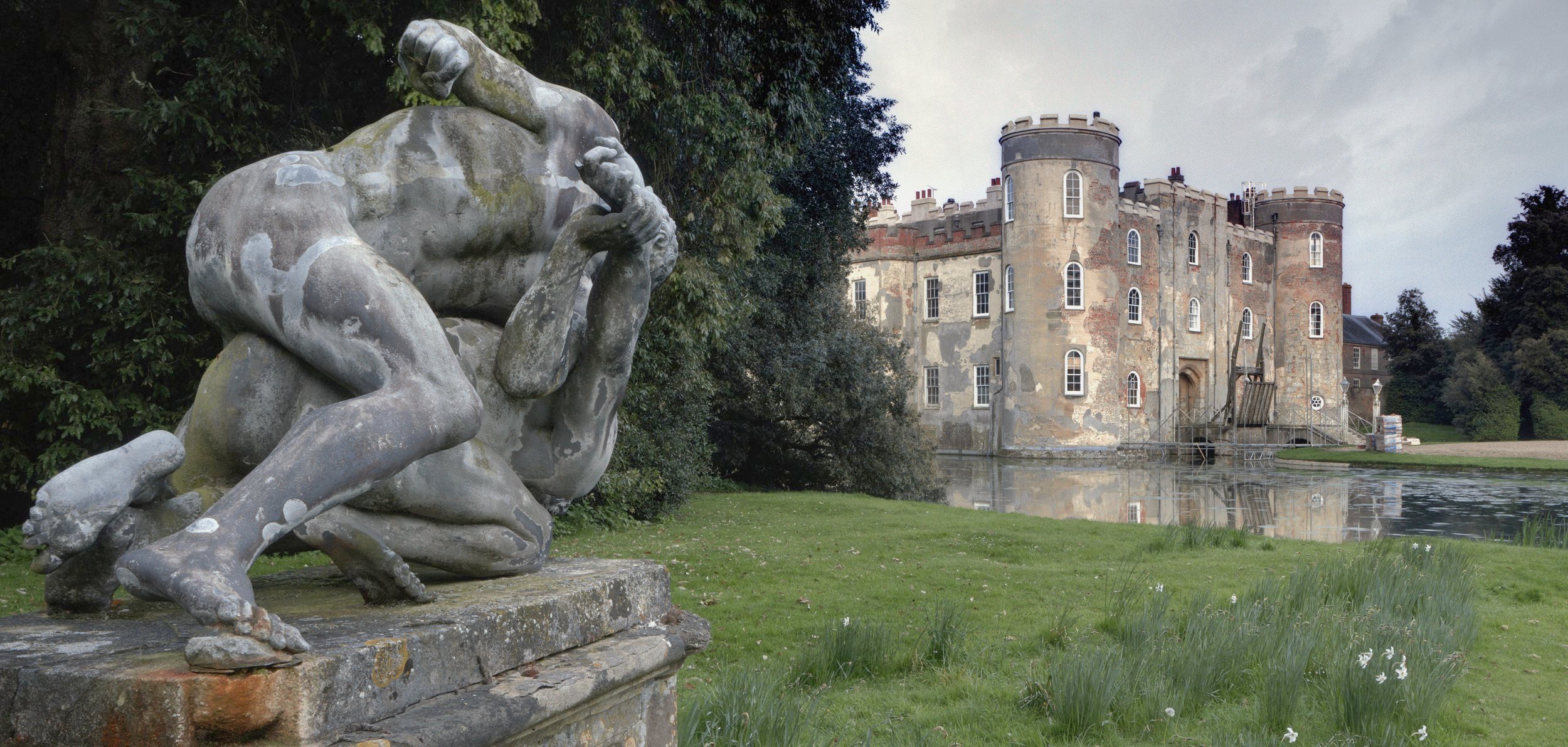
Shirburn Castle
Shirburn Castle is a Grade I listed, moated castle located at the village of Shirburn, near Watlington, Oxfordshire. Originally constructed in the fourteenth...
Nearby Amenities
Located within 500m of 51.672498,-1.0104456Have you been to Brookside Covert?
Leave your review of Brookside Covert below (or comments, questions and feedback).