East Balmirmer

Settlement in Angus

Scotland

East Balmirmer

Junction for Scryne and Panbride Off a bend in minor road from East Haven towards Arbroath.
Junction for Scryne and Panbride Credit: Stanley Howe

East Balmirmer is a small rural village located in the county of Angus, Scotland. Situated in the eastern part of the county, it is nestled amidst picturesque countryside and offers stunning views of the surrounding hills and farmland. The village is part of the larger community of Balmirmer, which also includes West Balmirmer.

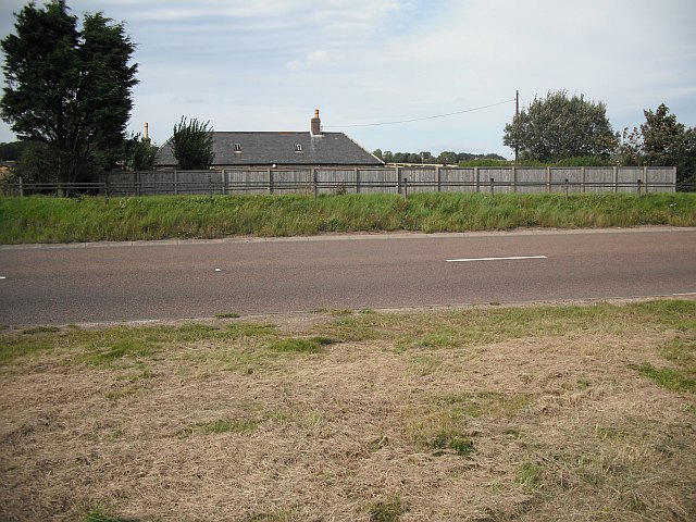
With a population of around 200 residents, East Balmirmer exudes a peaceful and close-knit atmosphere. The village is characterized by its quaint cottages and traditional stone-built houses, which add to its charm and appeal. The local architecture reflects the rich history of the area, with some buildings dating back several centuries.

Despite its small size, East Balmirmer has a strong sense of community spirit. Residents actively participate in various village events and celebrations, fostering a warm and welcoming environment. The village also boasts a well-maintained village green, which serves as a gathering place for locals and visitors alike.

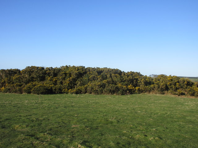
Surrounded by nature, East Balmirmer offers ample opportunities for outdoor activities. The nearby hills and countryside provide excellent hiking trails and scenic walks, attracting nature enthusiasts and outdoor lovers. The village is also conveniently located near several golf courses, making it an ideal destination for golf enthusiasts.

Although East Balmirmer is a primarily residential area, it benefits from its proximity to larger towns and cities. The village is within easy reach of Forfar, the county town of Angus, which offers a range of amenities including shops, schools, and healthcare facilities.

Overall, East Balmirmer is a picturesque and tranquil village that showcases the beauty of the Angus countryside. Its strong community spirit, beautiful scenery, and convenient location make it an ideal place to live for those seeking a peaceful rural lifestyle.

If you have any feedback on the listing, please let us know in the comments section below.

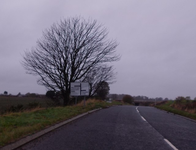
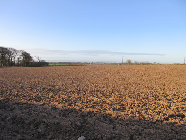
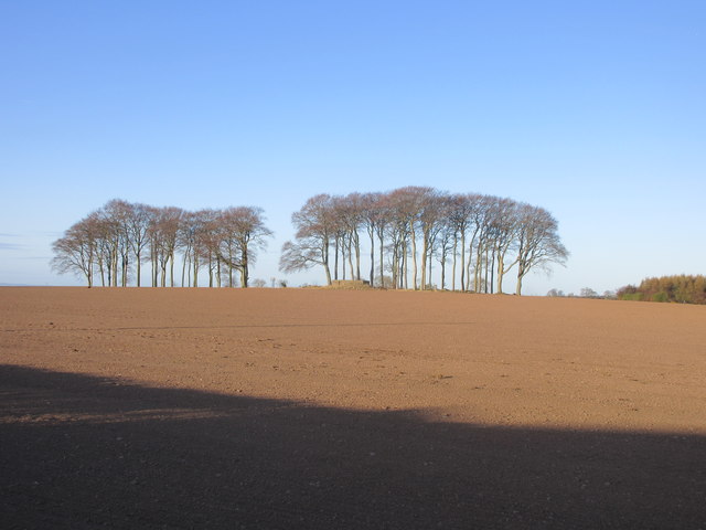
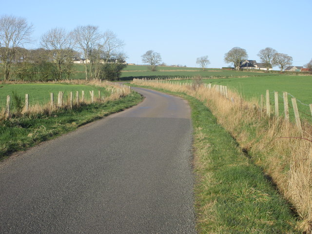
East Balmirmer Images

Images are sourced within 2km of 56.532131/-2.684427 or Grid Reference NO5838. Thanks to Geograph Open Source API. All images are credited.

Junction for Scryne and Panbride Off a bend in minor road from East Haven towards Arbroath.
Junction for Scryne and Panbride
Off a bend in minor road from East Haven towards Arbroath.
Approaching A92 underpass at Salmond's Muir On minor road from East Haven.
Approaching A92 underpass at Salmond's Muir
On minor road from East Haven.
A92 underpass at Salmond's Muir On minor road from East Haven.
A92 underpass at Salmond's Muir
On minor road from East Haven.
A92 at Nether Kelly
A92 at Nether Kelly
Hatton Farm
Hatton Farm
Track at Hatton Farm leading to disused airfield The building to the right of the image has the look of a disused military building.
Track at Hatton Farm leading to disused airfield
The building to the right of the image has the look of a disused military building.
Seedbed, Inverpeffer Arable farmland on the coast southwest of Arbroath.
Seedbed, Inverpeffer
Arable farmland on the coast southwest of Arbroath.
Nether Kelly Hedges by the road to the water works.
Nether Kelly
Hedges by the road to the water works.
Winter cereals, West Balmirmer
Combine Harvester near Easthaven Combine harvester viewed from the Scryne Road near Easthaven.
Combine Harvester near Easthaven
Combine harvester viewed from the Scryne Road near Easthaven.
Bales near Craigmill A pile of square bales viewed from the road near Craigmill.
Bales near Craigmill
A pile of square bales viewed from the road near Craigmill.
Field at West Balmirmer Ploughed field at West Balmirmer, looking southwards towards Carnoustie and the coast.
Field at West Balmirmer
Ploughed field at West Balmirmer, looking southwards towards Carnoustie and the coast.
Copse near Fauldiehill Copse in a field to the west of Fauldiehill.
Copse near Fauldiehill
Copse in a field to the west of Fauldiehill.
Road heading to Bonnyton Smiddy The minor road heading west, with Bonnyton Smiddy in the distance to the right.
Road heading to Bonnyton Smiddy
The minor road heading west, with Bonnyton Smiddy in the distance to the right.
Gorse on Knox Hill Gorse covered hillock on the summit area of Knox Hill. The triangulation pillar is situated within the bushes towards the centre of the photograph.
Gorse on Knox Hill
Gorse covered hillock on the summit area of Knox Hill. The triangulation pillar is situated within the bushes towards the centre of the photograph.
A92 cycle path National Cycle Path Route 1 heading westbound alongside the A92.
A92 cycle path
National Cycle Path Route 1 heading westbound alongside the A92.
East Balmirmer A distant view of East Balmirmer from the A92 to the south.
East Balmirmer
A distant view of East Balmirmer from the A92 to the south.
Road from Easthaven The minor road from Easthaven heading towards the A92 junction at Salmond's Muir.
Road from Easthaven
The minor road from Easthaven heading towards the A92 junction at Salmond's Muir.
Show me another place!

East Balmirmer is located at Grid Ref: NO5838 (Lat: 56.532131, Lng: -2.684427)

Unitary Authority: Angus

Police Authority: Tayside

What 3 Words

///purses.masterful.defected. Near Carnoustie, Angus

Related Wikis

Salmond's Muir

Salmond's Muir is a hamlet in the council area of Angus, Scotland. It is situated 2 miles (3 km) north-east of Carnoustie and 4 miles (6 km) west of Arbroath...

Balmirmer

Balmirmer is a hamlet in the council area of Angus, Scotland. It is situated 2 miles (3 km) north-east of Carnoustie and 4 miles (6 km) west of Arbroath...

RNAS East Haven (HMS Peewit)

Royal Naval Air Station East Haven (RNAS East Haven, also known as HMS Peewit) is a former Royal Navy, Fleet Air Arm station, situated 3 miles (5 km) south...

Muirdrum

Muirdrum () is a small village in the council area of Angus, Scotland. It is situated at the junction of the old A92 road from Dundee to Arbroath, the...

Nearby Amenities

Located within 500m of 56.532131,-2.684427
Bus Stop
Hatton Road End
Naptan AtcoCode: 6490IM1048
Naptan Bearing: SW
Naptan CommonName: Hatton Road End
Naptan Indicator: at Road End
Naptan Landmark: Hatton Road End
Naptan NaptanCode: 26425683
Naptan Street: A92
Naptan Verified: no
Source: naptan_import
Lat/Long: 56.5316935/-2.6809967
Bus Stop
Hatton Road End
Naptan AtcoCode: 6490IM655
Naptan Bearing: NE
Naptan CommonName: Hatton Road End
Naptan Indicator: opp Road End
Naptan Landmark: Hatton Road End
Naptan NaptanCode: 26425682
Naptan Street: A92
Naptan Verified: no
Source: naptan_import
Lat/Long: 56.5320946/-2.6799471
Motorway Junction
Lat/Long: 56.5312645/-2.6833631
Motorway Junction
Lat/Long: 56.5326779/-2.6768582
Salmond's Muir
Place: hamlet
Lat/Long: 56.5314645/-2.6832185
Power: pole
Lat/Long: 56.532659/-2.6916719
Power: pole
Lat/Long: 56.5335953/-2.6902342
Power: pole
Lat/Long: 56.5341958/-2.6886517
Power: pole
Lat/Long: 56.5346691/-2.6873481
Power: pole
Lat/Long: 56.5353036/-2.6856557
Power: pole
Lat/Long: 56.535876/-2.6841268
Power: pole
Lat/Long: 56.5363463/-2.682901
Power: pole
Lat/Long: 56.5310484/-2.6849124
Power: pole
Lat/Long: 56.5317089/-2.6853599
Power: pole
Lat/Long: 56.5323492/-2.6857836
Power: pole
Lat/Long: 56.5326126/-2.6866008
Power: pole
Lat/Long: 56.5329345/-2.6875758
Power: pole
Lat/Long: 56.5332541/-2.6885617
Power: pole
Lat/Long: 56.5335521/-2.6895756
Power: pole
Lat/Long: 56.5341863/-2.6900707
Power: pole
Lat/Long: 56.5347765/-2.6905485
Give Way
Direction: backward
Lat/Long: 56.5326545/-2.681534
Give Way
Direction: forward
Lat/Long: 56.5312524/-2.6789663
The data included in this document is from www.openstreetmap.org. The data is made available under ODbL.

Have you been to East Balmirmer?

Leave your review of East Balmirmer below (or comments, questions and feedback).