Victoria Spinney

Wood, Forest in Northamptonshire

England

Victoria Spinney

All Saints' church, Theddingworth
All Saints' church, Theddingworth Credit: Bikeboy

Victoria Spinney is a small woodland area located in Northamptonshire, England. Situated near the town of Wood, this forest is known for its natural beauty and tranquil atmosphere. The Spinney covers an area of approximately 50 acres and is home to a variety of native trees, including oak, beech, and birch.

The woodland is a popular destination for nature lovers and outdoor enthusiasts, offering a range of recreational activities. Visitors can enjoy walking along the well-maintained trails that weave through the forest, providing stunning views of the surrounding landscape. The peaceful ambiance of Victoria Spinney makes it an ideal spot for picnics and leisurely strolls.

The forest is also rich in wildlife, providing a habitat for various species. Birdwatchers can spot a variety of avian species, including woodpeckers, blue tits, and thrushes. Squirrels, rabbits, and foxes are among the mammals that can be seen in the area.

Victoria Spinney benefits from its proximity to the town of Wood, which offers convenient amenities such as parking and restrooms. The woodland is easily accessible by car or public transportation, making it a popular destination for both locals and tourists.

Overall, Victoria Spinney is a charming woodland area that offers a peaceful retreat from the hustle and bustle of everyday life. With its picturesque scenery and abundant wildlife, it is a must-visit destination for nature enthusiasts and those seeking a serene outdoor experience.

If you have any feedback on the listing, please let us know in the comments section below.

Victoria Spinney Images

Images are sourced within 2km of 52.461276/-0.99400716 or Grid Reference SP6885. Thanks to Geograph Open Source API. All images are credited.

All Saints' church, Theddingworth
Lane to Gumley This is a similar view to <a href="https://www.geograph.org.uk/photo/1622398">SP6786 : Lane to Gumley</a> taken 12 years earlier. Little has changed although, being October, the colours are more autumnal and the gate on the left has been replaced.
Lane to Gumley
This is a similar view to SP6786 : Lane to Gumley taken 12 years earlier. Little has changed although, being October, the colours are more autumnal and the gate on the left has been replaced.
Sheep near Theddingworth The low morning sun has created a golden glow on this bright winter day. The sheep are going about their business unperturbed by the chilly conditions or the photographer. To the left the stream is a minor tributary of the River Welland.
Sheep near Theddingworth
The low morning sun has created a golden glow on this bright winter day. The sheep are going about their business unperturbed by the chilly conditions or the photographer. To the left the stream is a minor tributary of the River Welland.
Lane to Gumley A telephoto lens emphasises the bend as this very minor single-track lane heads towards the old Rugby - Market Harborough railway.
Lane to Gumley
A telephoto lens emphasises the bend as this very minor single-track lane heads towards the old Rugby - Market Harborough railway.
Footbridge over the Welland In fact there are two here: an arched masonry bridge without a parapet, and a wooden footbridge.  The scene is much overgrown since it was photographed in <a href="https://www.geograph.org.uk/photo/147777">SP6986 : Bridge over River Welland, Marston Trussell</a>.
Footbridge over the Welland
In fact there are two here: an arched masonry bridge without a parapet, and a wooden footbridge. The scene is much overgrown since it was photographed in SP6986 : Bridge over River Welland, Marston Trussell.
Looking upstream on the Welland The view from the arched bridge, westwards toward the source of the River Welland, and also showing the wooden footbridge.
Looking upstream on the Welland
The view from the arched bridge, westwards toward the source of the River Welland, and also showing the wooden footbridge.
Bridge arch over the Welland The arched masonry bridge over the Welland seen from the wooden footbridge. And a view downstream from this point <a href="https://www.geograph.org.uk/photo/7324323">SP6986 : Looking downstream from the bridge</a>.
Bridge arch over the Welland
The arched masonry bridge over the Welland seen from the wooden footbridge. And a view downstream from this point SP6986 : Looking downstream from the bridge.
Looking downstream from the bridge From the crown of the arched bridge (<a href="https://www.geograph.org.uk/photo/7324317">SP6986 : Bridge arch over the Welland</a>) looking eastwards along the River Welland.
Looking downstream from the bridge
From the crown of the arched bridge (SP6986 : Bridge arch over the Welland) looking eastwards along the River Welland.
Wooden footbridge over the Welland This bridge is adjacent to <a href="https://www.geograph.org.uk/photo/7324317">SP6986 : Bridge arch over the Welland</a> which is more heavily used.  Not least because a low branch of an ash tree, at about chest height, impedes passage across this bridge.  The stiles at either end need some attention too.
Wooden footbridge over the Welland
This bridge is adjacent to SP6986 : Bridge arch over the Welland which is more heavily used. Not least because a low branch of an ash tree, at about chest height, impedes passage across this bridge. The stiles at either end need some attention too.
Stile and Waymark This is the southern end of the wooden footbridge over the Welland.  This footpath goes from Marston Trussel across the river, and reaches the A4304 near Papillon Hall Farm.
Stile and Waymark
This is the southern end of the wooden footbridge over the Welland. This footpath goes from Marston Trussel across the river, and reaches the A4304 near Papillon Hall Farm.
The Bull When I opened the gate on the public footpath from Marston Trussel, I noticed a sign which said "Bull in field", but in fact the long thin field shown on the Ordnance Survey has been divided in two, and the bull was in the lower field, unable to reach me on the footpath.  Although here he does not look inclined to bother much with pedestrians.
The Bull
When I opened the gate on the public footpath from Marston Trussel, I noticed a sign which said "Bull in field", but in fact the long thin field shown on the Ordnance Survey has been divided in two, and the bull was in the lower field, unable to reach me on the footpath. Although here he does not look inclined to bother much with pedestrians.
A ridged field All over the midlands you will find fields like this, long parallel ridges and furrows preserving a lost method of agriculture.

We teach our schoolchildren that each cottager had a private strip, or ridge that was ploughed with a single sided plough, thus creating this corrugated landform.  I am not entirely convinced that strips this narrow would be for a single family, and that the method of cultivation also produced differences in soil condition to allow for lines of different crops.  Perhaps two of these were a single holding?
A ridged field
All over the midlands you will find fields like this, long parallel ridges and furrows preserving a lost method of agriculture. We teach our schoolchildren that each cottager had a private strip, or ridge that was ploughed with a single sided plough, thus creating this corrugated landform. I am not entirely convinced that strips this narrow would be for a single family, and that the method of cultivation also produced differences in soil condition to allow for lines of different crops. Perhaps two of these were a single holding?
A bridge over the Welland On a small country road is this bridge across the River Welland.
A bridge over the Welland
On a small country road is this bridge across the River Welland.
Looking downstream from the bridge The River Welland seen from the parapet of <a href="https://www.geograph.org.uk/photo/7325227">SP6986 : A bridge over the Welland</a>.
Looking downstream from the bridge
The River Welland seen from the parapet of SP6986 : A bridge over the Welland.
Welland Country The River Welland flowing away downstream from the bridge in <a href="https://www.geograph.org.uk/photo/7325227">SP6986 : A bridge over the Welland</a>.
Welland Country
The River Welland flowing away downstream from the bridge in SP6986 : A bridge over the Welland.
A twisty river The view upstream from <a href="https://www.geograph.org.uk/photo/7325227">SP6986 : A bridge over the Welland</a>.  The River Welland is a series of tight little meanders in this landscape.
A twisty river
The view upstream from SP6986 : A bridge over the Welland. The River Welland is a series of tight little meanders in this landscape.
The water of the Weland Immediately upstream of <a href="https://www.geograph.org.uk/photo/7325227">SP6986 : A bridge over the Welland</a> the river is clean and gently flowing.
The water of the Weland
Immediately upstream of SP6986 : A bridge over the Welland the river is clean and gently flowing.
Bridge parapet The parapet on the upstream, northwestern, side of <a href="https://www.geograph.org.uk/photo/7325227">SP6986 : A bridge over the Welland</a>.
Bridge parapet
The parapet on the upstream, northwestern, side of SP6986 : A bridge over the Welland.
Show me another place!

Victoria Spinney is located at Grid Ref: SP6885 (Lat: 52.461276, Lng: -0.99400716)

Unitary Authority: West Northamptonshire

Police Authority: Northamptonshire

What 3 Words

///hindered.client.woes. Near Husbands Bosworth, Leicestershire

Related Wikis

Marston Trussell

Marston Trussell is a village and civil parish in West Northamptonshire in England. Marston Trussell was first recorded as 'Mersitone', meaning marsh settlement...

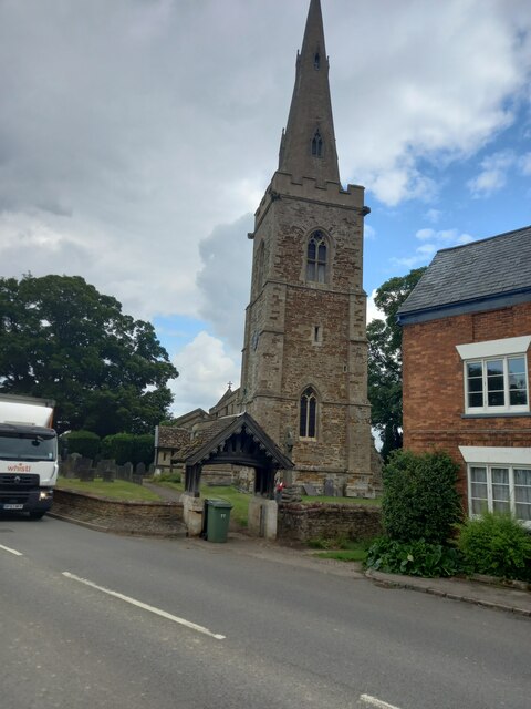
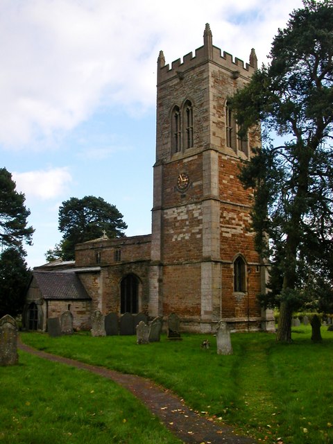
St Nicholas' Church, Marston Trussell

St Nicholas's Church is an Anglican church and the parish church of Marston Trussell in Northamptonshire, England. It is a Grade I listed building and...

Hothorpe Hall

Hothorpe Hall, in Northamptonshire, is a Georgian manor house near Market Harborough. It lies in the parish of Marston Trussell in Northamptonshire but...

Papillon Hall, Lubenham

Papillon Hall was a house in Lubenham, Market Harborough, England that was built in about 1620 and demolished in 1950. == Building == Papillon Hall was...

Theddingworth

Theddingworth is a village and civil parish in Leicestershire, England. The population of the civil parish at the 2011 census was 217. The parish includes...
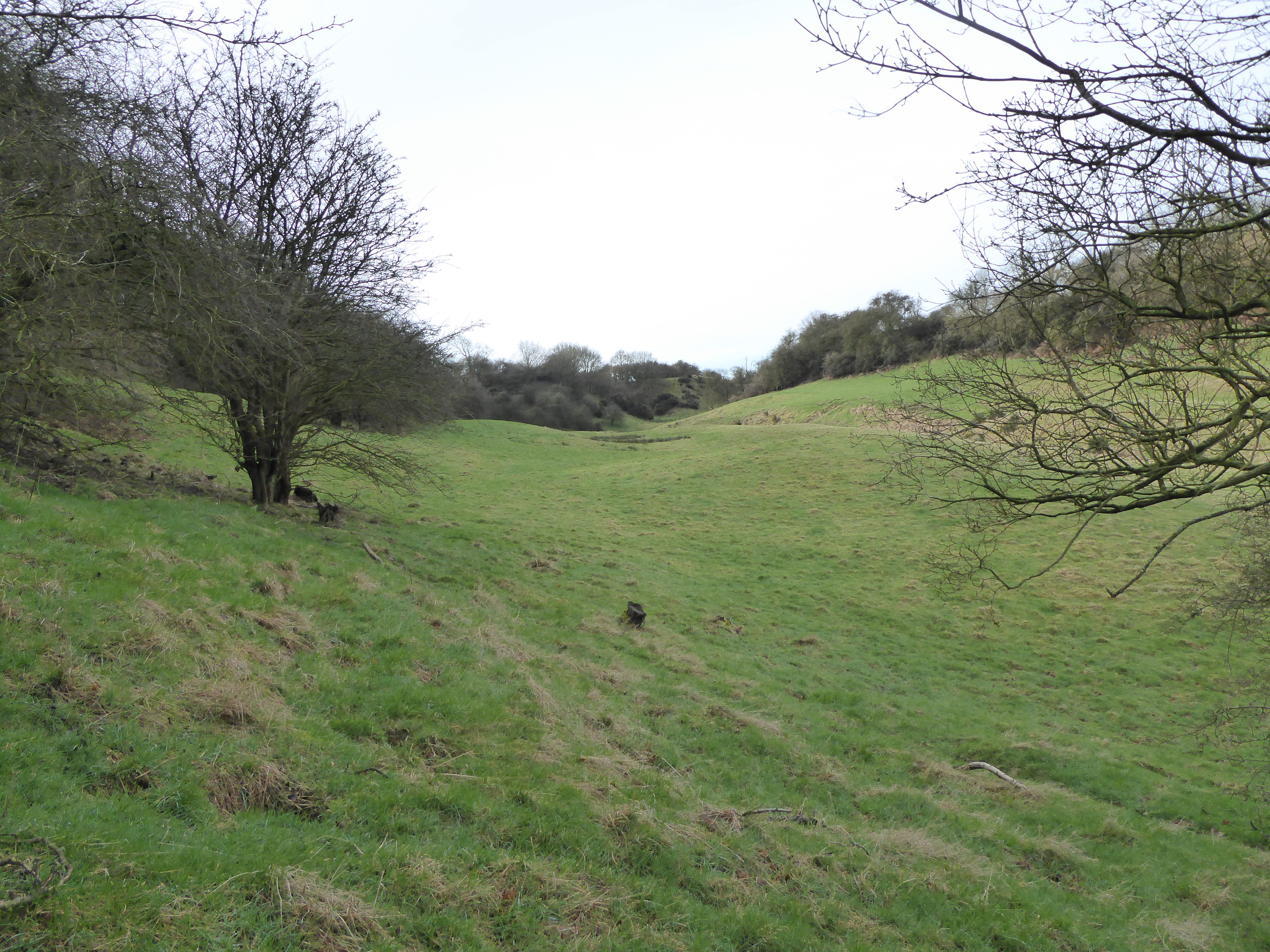
Coombe Hill Hollow

Coombe Hill Hollow is a 4.3-hectare (11-acre) biological Site of Special Scientific Interest north of Sibbertoft in Northamptonshire.This steep narrow...

Theddingworth railway station

Theddingworth railway station was a railway station serving Theddingworth in the English county of Leicestershire. It was opened on the Rugby and Stamford...

Lubenham railway station

Lubenham railway station was a railway station serving Lubenham in the English county of Leicestershire. It was opened on the Rugby and Stamford Railway...

Have you been to Victoria Spinney?

Leave your review of Victoria Spinney below (or comments, questions and feedback).