Castle Grove

Wood, Forest in Oxfordshire South Oxfordshire

England

Castle Grove

A4074 heading north Towards Wallingford and Oxford.
A4074 heading north Credit: Robin Webster

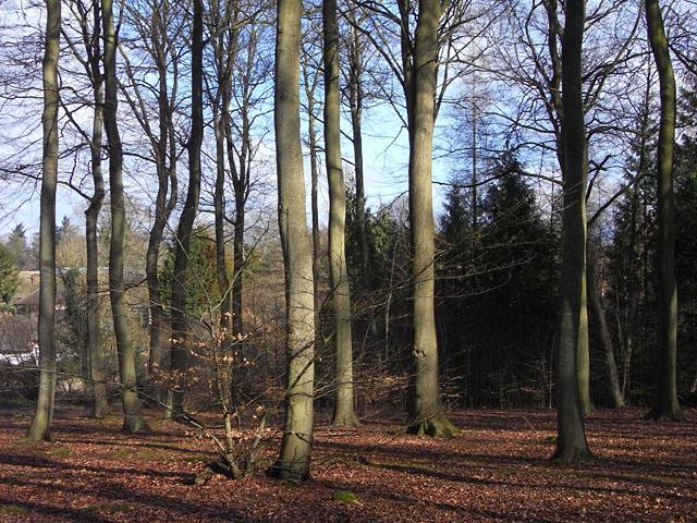
Castle Grove is a picturesque woodland area located in Oxfordshire, England. It is situated in the heart of the county, encompassing a vast area of lush greenery and magnificent trees. The grove is known for its dense forest, offering visitors a tranquil and serene environment away from the hustle and bustle of city life.

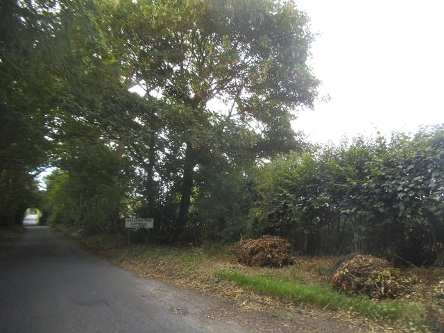
The woodlands of Castle Grove are home to a diverse range of plant and animal species, making it a haven for nature enthusiasts and wildlife lovers. The towering trees, including oak, beech, and chestnut, create a canopy that filters the sunlight, creating a mystical ambiance within the grove. The forest floor is covered with a lush carpet of ferns, wildflowers, and moss, providing a haven for various woodland creatures.

Visitors to Castle Grove can explore its numerous walking trails that wind through the woods, allowing them to immerse themselves in the enchanting surroundings. These paths lead to secluded clearings, babbling brooks, and hidden ponds, offering opportunities for relaxation and reflection. The grove also features picnic areas, where visitors can enjoy a leisurely meal amidst the natural beauty.

Castle Grove's rich history adds to its allure. The remnants of an ancient castle can be found within the woodland, providing a glimpse into the area's past. Exploring the ruins and imagining the lives of those who once inhabited the castle adds a touch of mystery and intrigue to the grove.

Overall, Castle Grove in Oxfordshire is a captivating destination for those seeking a peaceful retreat in the midst of nature. Its dense forest, diverse wildlife, and historical significance make it a place of interest for both locals and tourists alike.

If you have any feedback on the listing, please let us know in the comments section below.
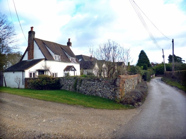
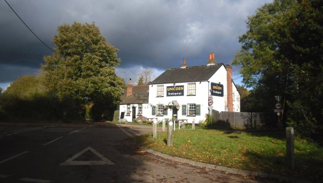
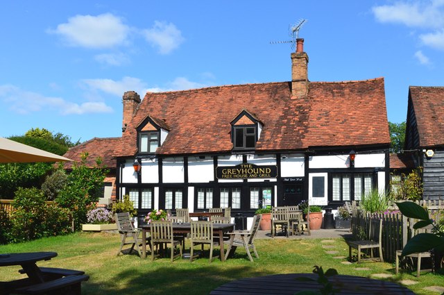
Castle Grove Images

Images are sourced within 2km of 51.525092/-1.017175 or Grid Reference SU6881. Thanks to Geograph Open Source API. All images are credited.

A4074 heading north Towards Wallingford and Oxford.
A4074 heading north
Towards Wallingford and Oxford.
A4074 at B4526 junction Looking towards Wallingford. The side road, Deadman's Lane, heads towards Goring.
A4074 at B4526 junction
Looking towards Wallingford. The side road, Deadman's Lane, heads towards Goring.
A4074 Reading Road heading towards Wallingford Approaching Cane End.
A4074 Reading Road heading towards Wallingford
Approaching Cane End.
A4074 Reading Road, Cane End Towards Wallingford and Oxford.
A4074 Reading Road, Cane End
Towards Wallingford and Oxford.
No Trace of The Fox This place now has no resemblance to earlier photos here.
Graham Horn's picture from 15 years ago shows the building which used to be on this site until a few years ago. Then it was a large pub "The Fox" <a href="https://www.geograph.org.uk/photo/348561">SU6779 : The Fox at Cane End</a>
A later picture of mine <a href="https://www.geograph.org.uk/photo/2083210">SU6779 : Palm Tree  (Ex Fox)</a> shows it as an Indian restaurant "The Palm Tree."  
In my caption at the time I wished them luck in this tricky out of town location.
Not to be. After yet another spell as a Thai restaurant the place finally closed its doors.
Now demolished and replaced by these new houses. The only clues are the pub style sign post which now carries the developer's name board and the new cul de sac which is called Fox Heath Gardens..
No Trace of The Fox
This place now has no resemblance to earlier photos here. Graham Horn's picture from 15 years ago shows the building which used to be on this site until a few years ago. Then it was a large pub "The Fox" SU6779 : The Fox at Cane End A later picture of mine SU6779 : Palm Tree (Ex Fox) shows it as an Indian restaurant "The Palm Tree." In my caption at the time I wished them luck in this tricky out of town location. Not to be. After yet another spell as a Thai restaurant the place finally closed its doors. Now demolished and replaced by these new houses. The only clues are the pub style sign post which now carries the developer's name board and the new cul de sac which is called Fox Heath Gardens..
The Unicorn PH, Peppard Hill
The Greyhound Country pub / restaurant currently run by celeb-chef Anthony Worral Thompson.
The Greyhound
Country pub / restaurant currently run by celeb-chef Anthony Worral Thompson.
Old Copse, Sonning Common Beeches in the north of the wood which is managed by the Woodland Trust and has general public access in addition to the public footpaths.
Old Copse, Sonning Common
Beeches in the north of the wood which is managed by the Woodland Trust and has general public access in addition to the public footpaths.
The Greyhound
The Greyhound
Colmore Lane, Peppard Hill
Stormy Light on The Unicorn
The Greyhound, Rotherfield Peppard, Oxfordshire
The A4074 at the junction of Deadman's Lane
Wood Lane entering Gallowstree Common
Woodland by the A4074, Cane End
Reading Road, Cane End
Horsepond Road, Cane End
Lane through the beech woods, Hook End, Oxfordshire
Show me another place!

Castle Grove is located at Grid Ref: SU6881 (Lat: 51.525092, Lng: -1.017175)

Administrative County: Oxfordshire

District: South Oxfordshire

Police Authority: Thames Valley

What 3 Words

///iterative.shipyards.outdoors. Near Rotherfield Peppard, Oxfordshire

Nearby Locations

Castle Grove Wyfold Wood

Related Wikis

Wyfold Court

Wyfold Court is a country house at Rotherfield Peppard in south Oxfordshire. It is a Grade II* listed building. By the year 2000, the estate had been converted...

Hook End Recording Studios

Hook End Recording Studios was a recording studio located in Hook End Manor, a 16th-century Elizabethan house near Checkendon, Oxfordshire, England. Its...

Gallowstree Common

Gallowstree Common is a hamlet in South Oxfordshire, England, about 4.5 miles (7.2 km) north of Reading, Berkshire. The village had a public house, the...

Maiden Erlegh Chiltern Edge

Maiden Erlegh Chiltern Edge (formerly Chiltern Edge Community School) is a coeducational secondary school located in Sonning Common, Oxfordshire, England...

Kidmore End

Kidmore End is a village and civil parish in South Oxfordshire, centred 6 miles (10 km) NNW of Reading, Berkshire, an important regional centre of commerce...

Exlade Street

Exlade Street is a hamlet in Checkendon civil parish in Oxfordshire, about 6 miles (9.7 km) northwest of Reading, in the Chiltern Hills. The hamlet is...

Bear, Oveys and Great Bottom Woods

Bear, Oveys and Great Bottom Woods is a 64.1-hectare (158-acre) biological Site of Special Scientific Interest west of Henley-on-Thames in Oxfordshire...

St Peter and St Paul, Checkendon

St Peter and St Paul is the Church of England parish church of Checkendon, a village in Oxfordshire, England. Its parish is part of the Deanery of Henley...
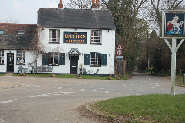
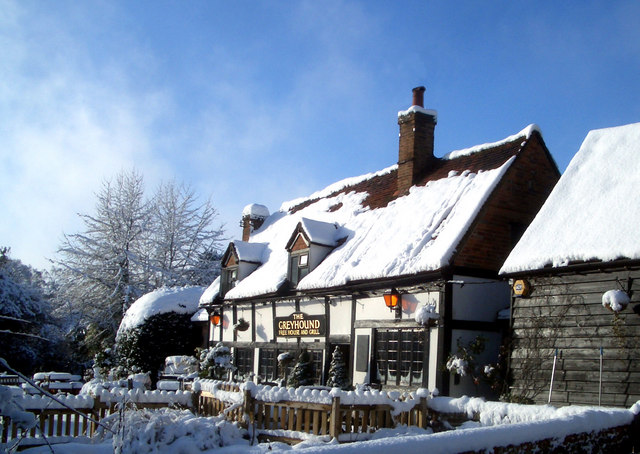
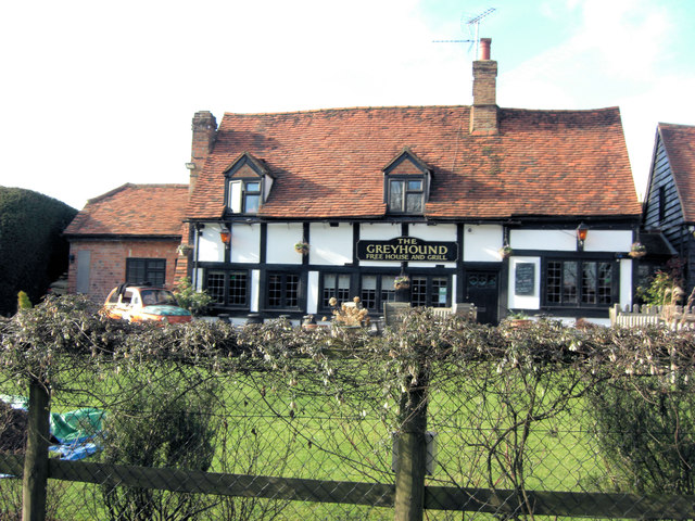
Nearby Amenities

Located within 500m of 51.525092,-1.017175
Castle Grove Camp
Alt Name: Wyfold Castle
Archaeological Site: fortification
Fortification Type: hill_fort
Historic: archaeological_site
Source: GPS
Wikidata: Q17642722
Lat/Long: 51.5243889/-1.0167586
Barrier: bollard
Bicycle: yes
Foot: yes
Lat/Long: 51.5230991/-1.0236507
Barrier: kissing_gate
Lat/Long: 51.5219831/-1.0167962
Barrier: bollard
Lat/Long: 51.5222126/-1.0125974
The data included in this document is from www.openstreetmap.org. The data is made available under ODbL.

Have you been to Castle Grove?

Leave your review of Castle Grove below (or comments, questions and feedback).