East Ashling

Settlement in Sussex Chichester

England

East Ashling

Flooding on Stoke Road Despite Storm Ciaran passing through in the preceding week the surrounding countryside was merely muddy: it seems as if all the local water has drained into this dip in Stoke Road.  There was about 25cm of water, but it was very hard for drivers to assess the depth with some ploughing through and others turning back.
Flooding on Stoke Road Credit: David Martin

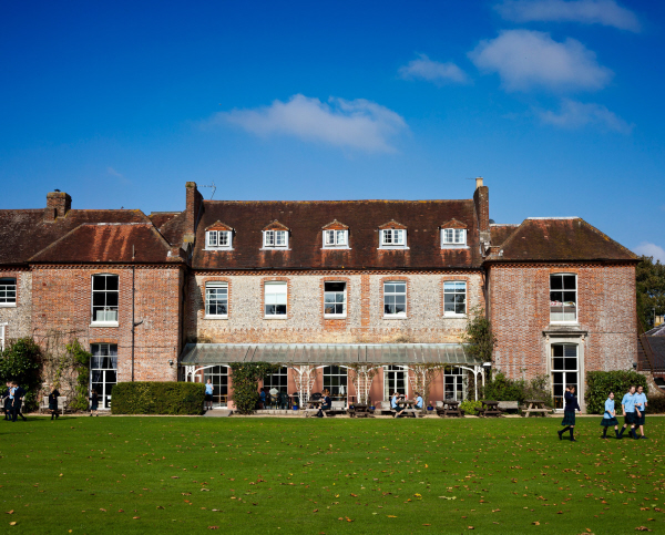
East Ashling is a picturesque village located in the county of Sussex, England. Situated just a few miles south of Chichester, it is nestled amidst the scenic countryside and offers a tranquil and idyllic setting. The village is known for its rich history, charming architecture, and stunning natural surroundings.

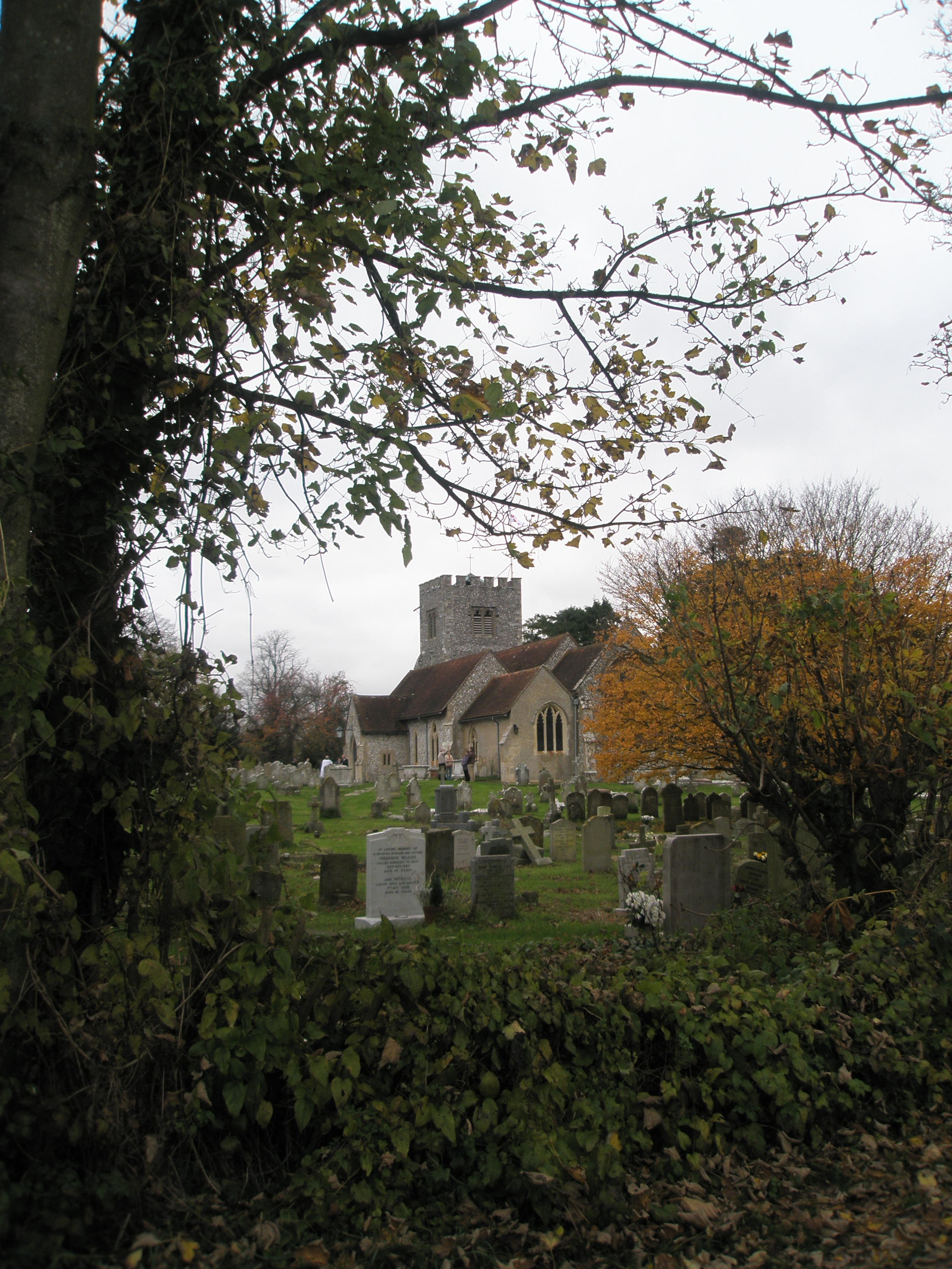
With its origins dating back to the medieval era, East Ashling boasts a number of historic buildings that have been beautifully preserved. The village church, St. Peter's, is a prominent landmark, showcasing a combination of architectural styles from different periods, including Norman and Gothic elements.

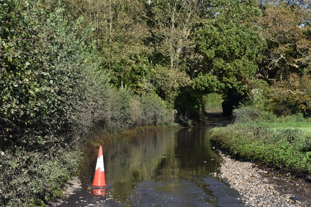
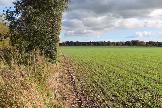
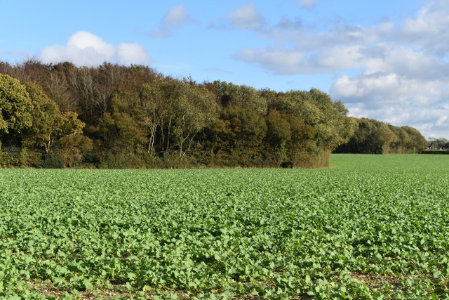
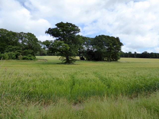
Surrounded by rolling hills and lush green fields, East Ashling is a paradise for nature lovers. The village is a gateway to the South Downs National Park, offering ample opportunities for outdoor activities such as hiking, cycling, and horse riding. The nearby West Dean Gardens, a stunning country estate, is a popular attraction for its beautifully manicured gardens and impressive Victorian glasshouses.

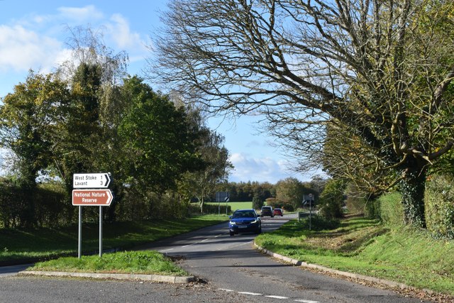
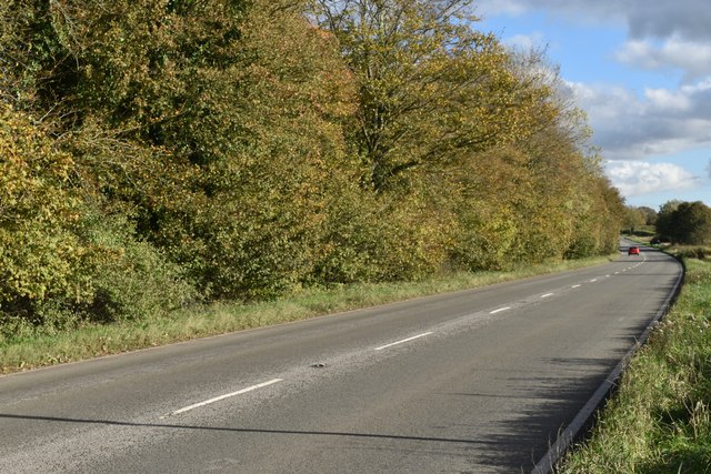
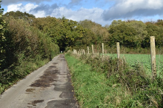
Despite its peaceful atmosphere, East Ashling is conveniently located near major transportation routes. The A286 road runs through the village, providing easy access to Chichester and other nearby towns. This allows residents to enjoy the tranquility of village life while still benefiting from the amenities and services available in larger urban areas.

Overall, East Ashling is a charming village that offers a harmonious blend of history, natural beauty, and convenience. Its well-preserved architecture, stunning landscapes, and proximity to major routes make it an appealing destination for both locals and visitors seeking a peaceful retreat in the heart of Sussex.

If you have any feedback on the listing, please let us know in the comments section below.

East Ashling Images

Images are sourced within 2km of 50.862998/-0.83323 or Grid Reference SU8207. Thanks to Geograph Open Source API. All images are credited.

Flooding on Stoke Road Despite Storm Ciaran passing through in the preceding week the surrounding countryside was merely muddy: it seems as if all the local water has drained into this dip in Stoke Road.  There was about 25cm of water, but it was very hard for drivers to assess the depth with some ploughing through and others turning back.
Flooding on Stoke Road
Despite Storm Ciaran passing through in the preceding week the surrounding countryside was merely muddy: it seems as if all the local water has drained into this dip in Stoke Road. There was about 25cm of water, but it was very hard for drivers to assess the depth with some ploughing through and others turning back.
Field east of the road junction at East Ashling
Road junction at East Ashling Looking west along the B2178
Road junction at East Ashling
Looking west along the B2178
Field edge beside the B2178
B2178 towards East Ashling
Southern edge of Ashling Wood
View along Woodend towards Ashling Wood
Footpath to Kingley Vale This well-made path leads from the car park at West Stoke to the Kingley Vale National Nature Reserve.
Footpath to Kingley Vale
This well-made path leads from the car park at West Stoke to the Kingley Vale National Nature Reserve.
Car park at West Stoke This is the recommended car park for visitors to Kingley Vale
Car park at West Stoke
This is the recommended car park for visitors to Kingley Vale
Footpath to Kingley Vale from the car park
West Copse woodland, near Kingley Vale
Path to Kingley Vale The path leads through a narrow stretch of woodland ahead, part of West Copse
Path to Kingley Vale
The path leads through a narrow stretch of woodland ahead, part of West Copse
West Copse woodland The path to Kingley Vale runs through a neck of woodland; the sign on the gate reminds visitors that the woods are private
West Copse woodland
The path to Kingley Vale runs through a neck of woodland; the sign on the gate reminds visitors that the woods are private
Forestry track, West Copse woodland Seen from the gate into this private wood
Forestry track, West Copse woodland
Seen from the gate into this private wood
Trees and crops on Stoke Down One tree on its own, a small clump, both separated from the woodland on the left
Trees and crops on Stoke Down
One tree on its own, a small clump, both separated from the woodland on the left
Stoke Down, with crops and trees Looking across the field towards West Stoke House
Stoke Down, with crops and trees
Looking across the field towards West Stoke House
Nettles, crops and trees on Stoke Down
West Stoke church (St Andrew's)
Show me another place!

East Ashling is located at Grid Ref: SU8207 (Lat: 50.862998, Lng: -0.83323)

Administrative County: West Sussex

District: Chichester

Police Authority: Sussex

What 3 Words

///mystified.local.zones. Near Bosham, West Sussex

Related Wikis

Sennicotts

Sennicotts is a small estate near Chichester, West Sussex, England, formed in 1809 by Charles Baker (1761–1839) having retired after serving in Madras...

Chichester West (electoral division)

Chichester West is an electoral division of West Sussex in the United Kingdom, and returns one member to sit on West Sussex County Council. The current...

Funtington

Funtington is a village and civil parish in the Chichester district of West Sussex, England. It lies on the B2146 Road 4.5 miles (7.2 km) west of Chichester...

RAF Funtington

Royal Air Force Funtington or more simply RAF Funtington is a former Royal Air Force Advanced Landing Ground located in West Sussex, England. == History... ==

Bosham railway station

Bosham railway station serves the small village of Bosham in West Sussex, England. It is located on the West Coastway Line that runs between Brighton and...

Lavant House

Lavant House (or West Lavant House) is a country house and estate in the parish of Lavant, West Sussex, England. It was used as a private school for girls...

Fishbourne railway station

Fishbourne railway station serves the village of Fishbourne, West Sussex, England. It is 30 miles 12 chains (30.15 miles, 48.52 km) from Brighton.The London...

Fishbourne F.C.

Fishbourne Football Club is a football club based in Sidlesham, near Chichester, West Sussex, England. Originally named Sidlesham Football Club and based...

Nearby Amenities

Located within 500m of 50.862998,-0.83323
East Ashling
Is In: West Sussex, England, UK
Place: hamlet
Source: npe
Lat/Long: 50.8629978/-0.8352728
Pub
Horse & Groom
Addr City: Chichester
Addr Place: East Ashling
Addr Postcode: PO18 9AX
Fhrs Authority: Chichester
Fhrs Id: 1229778
Fhrs Local Authority Id: 20/00039/FOOD
Real Ale: 5
Source Addr Postcode: Business card
Tourism: bed_and_breakfast
Website: https://thehorseandgroom.pub/
Wikidata: Q26277277
Lat/Long: 50.8634072/-0.8357206
Recycling
Recycling Paper: yes
Lat/Long: 50.8635488/-0.8356742
Post Box
Collection Plate: CP7
Collection Times: Mo-Fr 17:00; Sa 08:00
Operator: Royal Mail
Post Box Type: lamp
Ref: PO18 9
Royal Cypher: EIIR
Royal Cypher Wikidata: Q33102113
Lat/Long: 50.8632027/-0.8352849
Bus Stop
Horse & Groom
Naptan AtcoCode: 4400CH0403
Naptan Bearing: S
Naptan CommonName: Horse & Groom
Naptan Indicator: opp. The Horse & Groom
Naptan Landmark: Horse & Groom
Naptan NaptanCode: wsxajapm
Naptan Street: B2178
Naptan Verified: no
Source: naptan_import
Lat/Long: 50.8632974/-0.8352839
Bus Stop
Horse & Groom
Naptan AtcoCode: 4400CH0404
Naptan Bearing: N
Naptan BusStopType: CUS
Naptan CommonName: Horse & Groom
Naptan Indicator: adj The Horse & Groom
Naptan Landmark: Horse & Groom
Naptan NaptanCode: wsxajapt
Naptan Street: B2178
Naptan Verified: no
Source: naptan_import
Lat/Long: 50.8636945/-0.8354125
Barrier: stile
Foot: yes
Lat/Long: 50.8609666/-0.8352223
Barrier: kissing_gate
Foot: yes
Lat/Long: 50.8613368/-0.8345631
Barrier: stile
Foot: yes
Lat/Long: 50.8609535/-0.8346818
Telephone
Addr City: East Ashling, Chichester
Addr Housename: Opposite Horse and Groom PH
Addr Postcode: PO18 9AX
Booth: K6
Covered: booth
Listed Status: Grade II
Payment Coins: no
Phone: +44 1243 576046
Lat/Long: 50.8634927/-0.83528
Barrier: kissing_gate
Lat/Long: 50.8628015/-0.8291022
Turning Circle
Lat/Long: 50.8618585/-0.8367788
South Downs National Park
Board Type: welcome_sign
Information: board
Tourism: information
Lat/Long: 50.8604744/-0.8299432
The data included in this document is from www.openstreetmap.org. The data is made available under ODbL.

Have you been to East Ashling?

Leave your review of East Ashling below (or comments, questions and feedback).