East Ardsley
Settlement in Yorkshire
England
East Ardsley

East Ardsley is a small village located in the metropolitan borough of Leeds, West Yorkshire, England. It is situated approximately six miles south of Leeds city center and is part of the larger Leeds City Region. The village is bordered by the M1 motorway to the east and the A650 road to the west, providing convenient access to the surrounding areas.
Historically, East Ardsley was a mining community, with several collieries operating in the area. However, with the decline of the coal industry in the 20th century, the village has transitioned into a residential area, characterized by a mix of traditional stone-built houses and more modern developments.
Despite its small size, East Ardsley offers a range of amenities to its residents. The village has a primary school, a community center, and a number of local shops and services, including a post office, convenience stores, and a pub. Additionally, the nearby towns of Morley and Wakefield provide further shopping and leisure opportunities.
The village benefits from its proximity to the beautiful Yorkshire countryside, with several parks and green spaces nearby. The popular Pugneys Country Park is just a short drive away, offering picturesque lakes, walking trails, and water sports facilities.
Transport links in East Ardsley are well-developed, with regular bus services connecting the village to Leeds and other nearby towns. The M1 motorway provides easy access to the wider Yorkshire region and beyond.
Overall, East Ardsley is a peaceful and well-connected village, offering a desirable residential location with a strong sense of community.
If you have any feedback on the listing, please let us know in the comments section below.
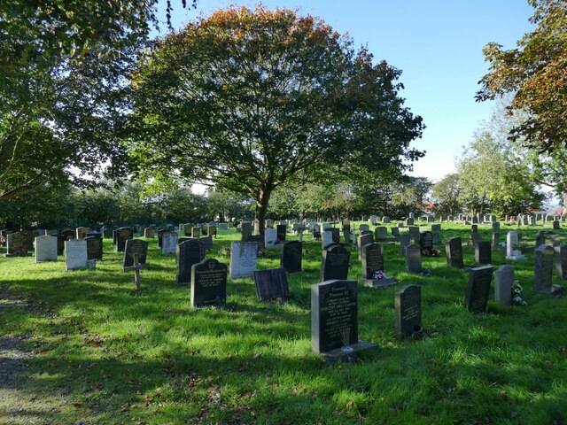
East Ardsley Images
Images are sourced within 2km of 53.726857/-1.551637 or Grid Reference SE2925. Thanks to Geograph Open Source API. All images are credited.


East Ardsley is located at Grid Ref: SE2925 (Lat: 53.726857, Lng: -1.551637)
Division: West Riding
Unitary Authority: Leeds
Police Authority: West Yorkshire
What 3 Words
///folds.wants.party. Near Lofthouse, West Yorkshire
Nearby Locations
Related Wikis

East Ardsley
East Ardsley is a village in the City of Leeds metropolitan borough, in West Yorkshire, England. East Ardsley forms part of the Heavy Woollen District...
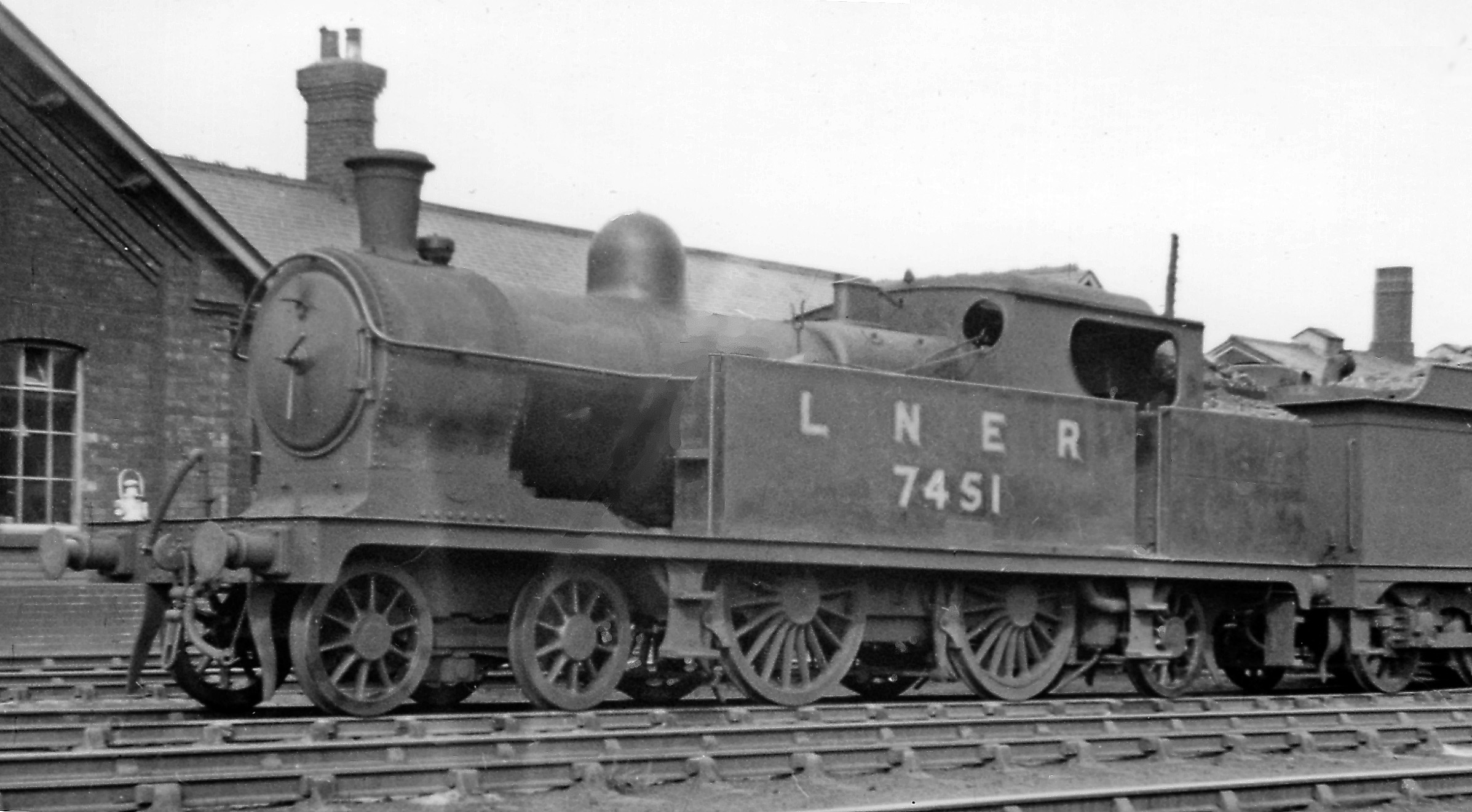
Ardsley railway station
Ardsley railway station was situated on the Great Northern Railway between Tingley and Lofthouse and Outwood on the main line and west of Stanley on the...

Tingley railway station
Tingley railway station served the settlement of Tingley, West Yorkshire, England, from 1857 to 1966 on the Leeds, Bradford and Halifax Junction Railway...

Thorpe on the Hill, West Yorkshire
Thorpe on the Hill (or Thorpe) is a small village in West Yorkshire, England. The village falls within the Ardsley and Robin Hood ward of the Leeds Metropolitan...
Nearby Amenities
Located within 500m of 53.726857,-1.551637Have you been to East Ardsley?
Leave your review of East Ardsley below (or comments, questions and feedback).