Brooksby Spinney
Wood, Forest in Leicestershire Melton
England
Brooksby Spinney

Brooksby Spinney is a picturesque woodland located in Leicestershire, England. It is situated near the village of Brooksby, which is known for its charming countryside and historical landmarks. The spinney covers an area of approximately 30 acres and is renowned for its dense canopy of trees, creating a tranquil and serene atmosphere for visitors.
The woodland is primarily composed of oak, ash, and beech trees, which provide a diverse habitat for various wildlife species. It is a haven for birdwatchers, as numerous species of birds, including woodpeckers, owls, and warblers, can be spotted in the area. Additionally, the spinney is home to several mammals such as deer, foxes, and rabbits.
Brooksby Spinney offers a range of walking trails, allowing visitors to explore the natural beauty of the wood. These pathways are well-maintained and provide access to different areas of the spinney, offering scenic views and opportunities for nature photography. There are also designated picnic spots, where visitors can relax and enjoy the peaceful surroundings.
The spinney is managed by the local authorities, who ensure the conservation of the woodland and its inhabitants. They organize educational programs and guided tours to raise awareness about the importance of preserving the natural environment. Furthermore, the spinney is open to the public throughout the year, providing a perfect retreat for individuals seeking solace amidst nature.
Overall, Brooksby Spinney in Leicestershire is a captivating woodland, offering a respite from the hustle and bustle of everyday life. Its rich biodiversity, well-maintained trails, and tranquil ambiance make it a popular destination for nature enthusiasts and those seeking a peaceful escape.
If you have any feedback on the listing, please let us know in the comments section below.
Brooksby Spinney Images
Images are sourced within 2km of 52.729434/-0.99289722 or Grid Reference SK6815. Thanks to Geograph Open Source API. All images are credited.


Brooksby Spinney is located at Grid Ref: SK6815 (Lat: 52.729434, Lng: -0.99289722)
Administrative County: Leicestershire
District: Melton
Police Authority: Leicestershire
What 3 Words
///greed.scorch.update. Near Asfordby, Leicestershire
Nearby Locations
Related Wikis
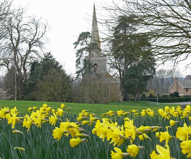
Brooksby
Brooksby is a deserted village and former civil parish, now in the parish of Hoby with Rotherby, in the Melton district, in Leicestershire, England. It...
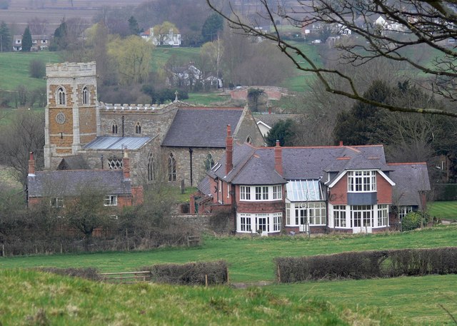
Church of St Michael and All Angels, Brooksby
The Church of St Michael and All Angels is a church in Brooksby, Leicestershire. It is a Grade II* listed building. == History == The church lies within...
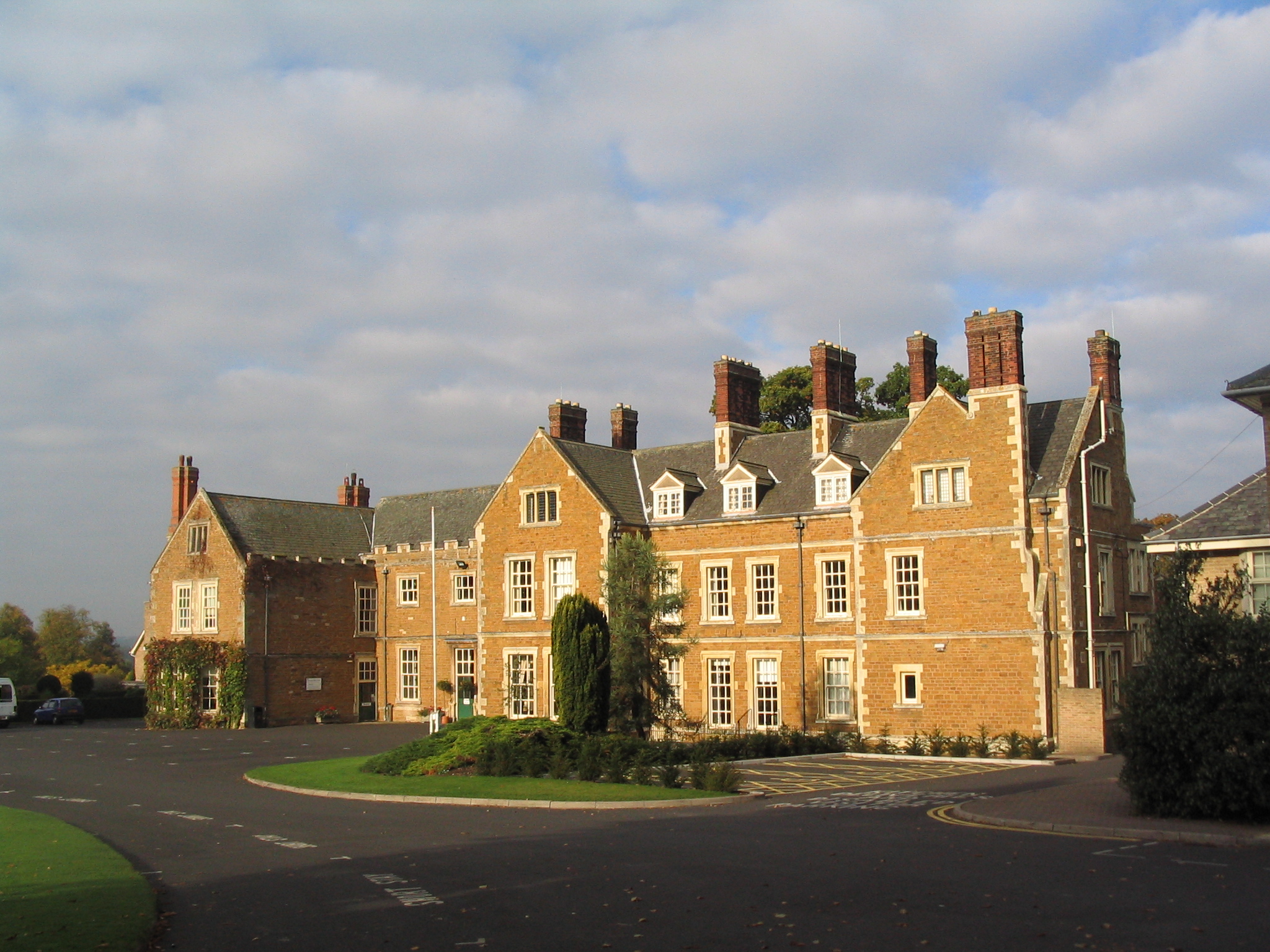
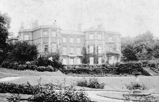
Brooksby Hall
Brooksby Hall is a late–16th-century manor house on 3.2 square kilometres (800 acres) of land between Leicester and Melton Mowbray. Situated 13 kilometres...
Rotherby
Rotherby is a village and former civil parish, 9 miles (14 km) north east of Leicester, now in the parish of Hoby with Rotherby, in the Melton district...
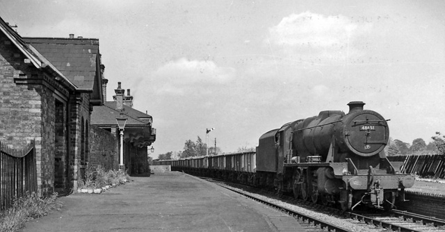
Brooksby railway station
Brooksby railway station was a former station serving the villages of Brooksby, Hoby and Rotherby in Leicestershire. The station was situated at a level...

Gaddesby
Gaddesby is a village and civil parish in the Melton borough of Leicestershire, England. The population of the civil parish (including Ashby Folville and...
Gaddesby Hall
Gaddesby Hall is an 18th-century brick-built house in the village of Gaddesby, Leicestershire. It was built in the late 1740s as a three-storey house with...

Frisby Marsh
Frisby Marsh is a 10.2-hectare (25-acre) biological Site of Special Scientific Interest east of Frisby on the Wreake in Leicestershire.This site has spring...
Nearby Amenities
Located within 500m of 52.729434,-0.99289722Have you been to Brooksby Spinney?
Leave your review of Brooksby Spinney below (or comments, questions and feedback).