Antcliff Plantation
Wood, Forest in Nottinghamshire Bassetlaw
England
Antcliff Plantation

Antcliff Plantation, located in Nottinghamshire, is a picturesque woodland area known for its natural beauty and rich biodiversity. The plantation is nestled within the larger Sherwood Forest, famous for being the legendary home of Robin Hood.
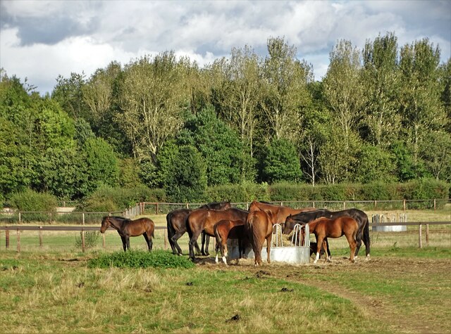
Covering an area of approximately 100 acres, Antcliff Plantation boasts a diverse range of flora and fauna. The woodland is primarily composed of native tree species such as oak, birch, and beech, which provide a dense canopy and create a serene atmosphere. These trees also support a variety of wildlife, including deer, foxes, and numerous bird species, making it a popular spot for nature enthusiasts and birdwatchers.
The plantation is well-maintained, with designated walking trails that allow visitors to explore the area at their own pace. The trails wind through the plantation, offering stunning views of the surrounding woodland and allowing visitors to immerse themselves in the tranquility of the natural environment. Interpretive signs along the trails provide information about the different tree species and wildlife found in the area, enhancing the educational aspect of the plantation.
Antcliff Plantation is also actively involved in conservation efforts, striving to protect and preserve the delicate ecosystem. The forest management team regularly carries out tree planting initiatives and maintenance work to ensure the longevity of the plantation. Additionally, educational programs and guided tours are offered to schools and community groups, aiming to raise awareness about the importance of forest conservation.
Overall, Antcliff Plantation in Nottinghamshire is a charming woodland retreat that offers a peaceful escape, a haven for wildlife, and an opportunity to connect with nature in the heart of Sherwood Forest.
If you have any feedback on the listing, please let us know in the comments section below.
Antcliff Plantation Images
Images are sourced within 2km of 53.378798/-0.97829136 or Grid Reference SK6887. Thanks to Geograph Open Source API. All images are credited.


Antcliff Plantation is located at Grid Ref: SK6887 (Lat: 53.378798, Lng: -0.97829136)
Administrative County: Nottinghamshire
District: Bassetlaw
Police Authority: Nottinghamshire
What 3 Words
///motels.overhead.propelled. Near Ranskill, Nottinghamshire
Nearby Locations
Related Wikis

ROF Ranskill
The Royal Ordnance Factory (ROF) Ranskill was a United Kingdom Ministry of Supply, World War II, Explosive ROF. It was built to manufacture cordite and...
Lound, Nottinghamshire
Lound is a village in Nottinghamshire, England, four miles north of Retford. It has a population of 493, reducing to 471 at the 2011 census. The village...
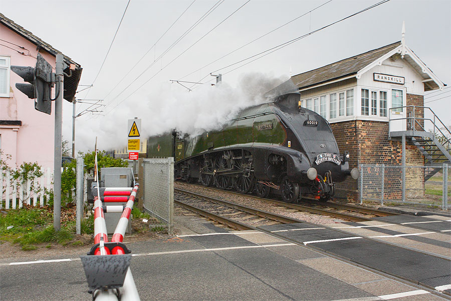
Ranskill railway station
Ranskill railway station served the village of Ranskill, Nottinghamshire, England from 1849 to 1964 on the East Coast Main Line. == History == The station...
Mattersey Hall
Mattersey Hall is a Christian College with the vision: 'to help form the next generation of Christian leaders.' Mattersey Hall is the main training centre...
Torworth
Torworth () is a small village on the A638 or 'Great North Road' in North Nottinghamshire. According to the 2001 census it had a population of 264, falling...

All Saints' Church, Mattersey
All Saints' Church, Mattersey is a Grade I listed parish church in the Church of England in Mattersey. == History == The church dates from the 13th century...

Mattersey Thorpe
Mattersey Thorpe is a small village in the Bassetlaw district of northern Nottinghamshire, England. It is 134 miles (216 km) north of London, 32 miles...

St Bartholomew's Church, Sutton-cum-Lound
St Bartholomew's Church, Sutton cum Lound is a Grade I listed parish church in the Church of England in Sutton cum Lound. == History == The church dates...
Nearby Amenities
Located within 500m of 53.378798,-0.97829136Have you been to Antcliff Plantation?
Leave your review of Antcliff Plantation below (or comments, questions and feedback).