East Anton

Settlement in Hampshire Test Valley

England

East Anton

Finkley: Houses and workshops in Finkley Road
Finkley: Houses and workshops in Finkley Road Credit: Michael Garlick

East Anton is a vibrant and rapidly growing community located in the county of Hampshire, England. Situated just two miles east of Andover, this residential area is part of a larger development known as the Augusta Park development.

The area boasts a range of modern amenities, making it an attractive place for families and professionals alike. East Anton is home to several schools, including the Anton Junior School and Balksbury Infant School, ensuring that residents have access to quality education for their children. Additionally, the area features a community center, several playgrounds, and ample green spaces, providing opportunities for recreational activities and social gatherings.

Transportation in East Anton is well-served, with easy access to the A303 and A34, connecting residents to nearby towns and cities. The Andover train station is also conveniently located nearby, offering regular services to London and other major destinations.

East Anton has seen significant development in recent years, with new housing estates and commercial spaces being constructed. This growth has led to an influx of new residents, resulting in a diverse and dynamic community. The area is known for its friendly and welcoming atmosphere, with residents actively participating in community events and initiatives.

Overall, East Anton offers a high quality of life, combining modern amenities with a strong sense of community. Its convenient location, excellent transport links, and range of facilities make it an attractive place to live for people of all ages.

If you have any feedback on the listing, please let us know in the comments section below.
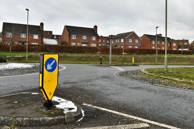
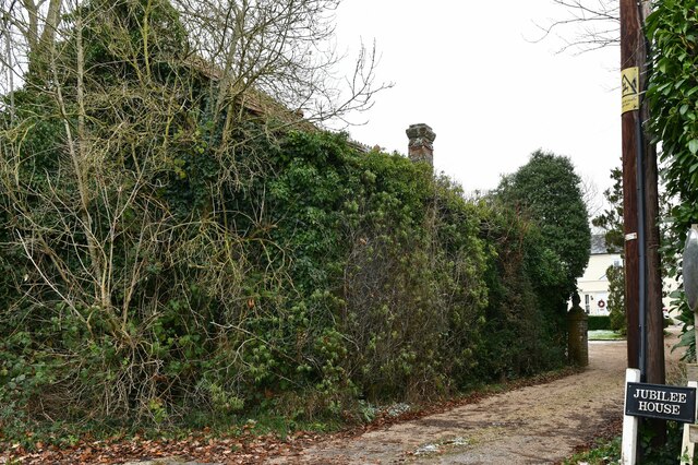
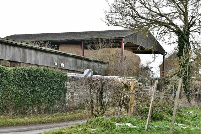
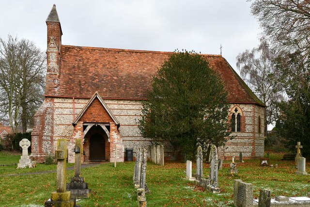
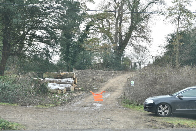
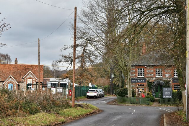
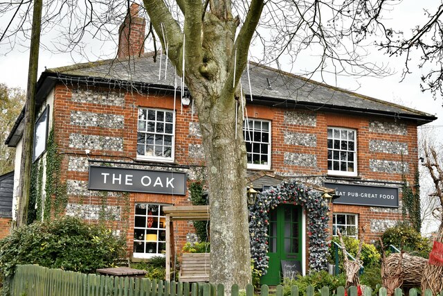
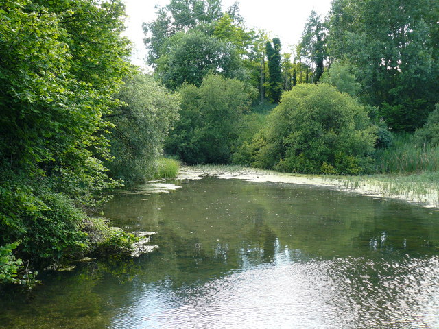
East Anton Images

Images are sourced within 2km of 51.227674/-1.467932 or Grid Reference SU3747. Thanks to Geograph Open Source API. All images are credited.

Finkley: Houses and workshops in Finkley Road
Finkley: Old fashioned petrol pump
Smannell: Entrance to Finkley House
East Anton: 17 and 19, Ryeland Way
East Anton: Roundabout
Smannell: Jubilee House and the former Baptist Chapel
Smannell: Hay barn at Woodhouse Farm
Smannell: Buildings at Woodhouse Farm
Smannell: Christ Church
Enham Alamein: Topiary sign and the A343 through the village
Enham Alamein: Track through a small area of woodland
Smannell: The Oak PH
Smannell: Malt House Lane
A343 Newbury Road, Andover Heading out of town.
A343 Newbury Road, Andover
Heading out of town.
A343 Newbury Road, Andover Leaving town towards Newbury.
A343 Newbury Road, Andover
Leaving town towards Newbury.
Enham Lane, Knights Enham The scaffolded house is Manor Farm, an 18th/19th century grade II listed building.
Enham Lane, Knights Enham
The scaffolded house is Manor Farm, an 18th/19th century grade II listed building.
Show me another place!

East Anton is located at Grid Ref: SU3747 (Lat: 51.227674, Lng: -1.467932)

Administrative County: Hampshire

District: Test Valley

Police Authority: Hampshire

What 3 Words

///solar.slim.hides. Near Andover, Hampshire

Nearby Locations

Anton, East East Anton

Related Wikis

Knights Enham

Knights Enham is a small village and former civil parish, now in the parish of Enham Alamein, in the Test Valley district of Hampshire, England. It lies...

Smannell

Smannell is a village in Hampshire, England, located two miles north-east of Andover. It lies in the parish of Smannell and Enham Alamein. At the 2011...

Anton Lakes

Anton Lakes is a 33.1-hectare (82-acre) Local Nature Reserve in Andover in Hampshire. It is owned by Test Valley Borough Council and managed by the council...

Finkley

Finkley is a hamlet in the Test Valley district of Hampshire, England. The nearest town is Andover, which lies approximately 2.8 miles (4.2 km) south-west...

Finkley Down

Finkley Down is a suburb and hamlet in the civil parish of Finkley in Hampshire, England. It is in the civil parish of Smannell. Its nearest town is Andover...

East Anton

East Anton is a suburb and housing development of Andover in the Test Valley district of Hampshire, England. It lies 1.5 miles (2.1 km) north-east from...

Winton Community Academy

Winton Community Academy (formerly Winton School) is a mixed secondary school located in Andover in the English county of Hampshire. == History == The...

Andover Museum and Museum of the Iron Age

Andover Museum and Museum of the Iron Age is a museum with two collections: the Andover Museum focuses on the history of the town of Andover, and the Museum...

Nearby Amenities

Located within 500m of 51.227674,-1.467932
Bus Stop
Turin Court
Bus: yes
Naptan AtcoCode: 1900HA100603
Naptan Bearing: SE
Naptan CommonName: Turin Court
Naptan Crossing: Turin Court
Naptan NaptanCode: hamapmpt
Naptan PlusbusZoneRef: ANDOVER
Naptan Street: Icknield Way
Naptan Verified: no
Public Transport: platform
Source: naptan_import
Lat/Long: 51.2266254/-1.4718239
Bus Stop
Turn Court
Bus: yes
Naptan AtcoCode: 1900HA100604
Naptan Bearing: NW
Naptan CommonName: Turn Court
Naptan Crossing: Turin Court
Naptan NaptanCode: hamapmpm
Naptan PlusbusZoneRef: ANDOVER
Naptan Street: Icknield Way
Naptan Verified: no
Public Transport: platform
Source: naptan_import
Lat/Long: 51.2265355/-1.4718393
Bus Stop
Venice Court
Bus: yes
Naptan AtcoCode: 1900HA100606
Naptan Bearing: SW
Naptan CommonName: Venice Court
Naptan Crossing: Icknield Way
Naptan NaptanCode: hamaptga
Naptan PlusbusZoneRef: ANDOVER
Naptan Street: Venice Court
Naptan Verified: no
Public Transport: platform
Source: naptan_import
Lat/Long: 51.224663/-1.4690892
Crossing
Bicycle: yes
Crossing: uncontrolled
Crossing Island: yes
Kerb: lowered
Lat/Long: 51.2234509/-1.4682278
Bus Stop
Venice Court
Bus: yes
Naptan AtcoCode: 1900HA100605
Naptan Bearing: SW
Naptan CommonName: Venice Court
Naptan Crossing: Icknield Way
Naptan NaptanCode: hamaptdw
Naptan PlusbusZoneRef: ANDOVER
Naptan Street: Venice Court
Naptan Verified: no
Public Transport: platform
Source: naptan_import
Lat/Long: 51.2246087/-1.4693037
Barrier: bollard
Bicycle: yes
Foot: yes
Lat/Long: 51.2250805/-1.4677041
Barrier: bollard
Foot: yes
Source: gps_survey
Lat/Long: 51.2271357/-1.4698291
Barrier: bollard
Foot: yes
Source: gps_survey
Lat/Long: 51.2272158/-1.4697657
Barrier: bollard
Bicycle: yes
Foot: yes
Lat/Long: 51.227499/-1.4665229
Barrier: bollard
Bicycle: yes
Foot: yes
Source: survey
Lat/Long: 51.2255666/-1.4672235
Barrier: bollard
Bicycle: yes
Foot: yes
Source: survey
Lat/Long: 51.2258206/-1.4666028
Barrier: bollard
Bicycle: yes
Foot: yes
Source: survey
Lat/Long: 51.2259109/-1.4663632
Barrier: bollard
Bicycle: yes
Foot: yes
Source: survey
Lat/Long: 51.22657/-1.4645236
Crossing
Bicycle: yes
Crossing: uncontrolled
Crossing Island: yes
Kerb: lowered
Lat/Long: 51.2256487/-1.4628751
Crossing
Crossing: uncontrolled
Crossing Island: yes
Kerb: lowered
Lat/Long: 51.2256623/-1.4625101
Crossing
Bicycle: yes
Crossing: uncontrolled
Crossing Island: yes
Kerb: lowered
Lat/Long: 51.2258658/-1.4628296
Crossing
Bicycle: yes
Crossing Island: yes
Kerb: lowered
Lat/Long: 51.2249116/-1.4690635
Crossing
Bicycle: yes
Crossing: unmarked
Crossing Markings: no
Kerb: lowered
Lat/Long: 51.2262279/-1.4711691
Crossing
Crossing: uncontrolled
Crossing Island: yes
Kerb: lowered
Lat/Long: 51.2245474/-1.4652798
Crossing
Crossing Island: yes
Kerb: lowered
Sloped Curb: yes
Lat/Long: 51.2243367/-1.4652895
Crossing
Crossing: unmarked
Kerb: lowered
Lat/Long: 51.2272657/-1.4622684
Crossing
Bicycle: yes
Crossing Island: yes
Kerb: lowered
Lat/Long: 51.2281663/-1.4730999
Crossing
Crossing Island: yes
Kerb: lowered
Lat/Long: 51.2279522/-1.4731169
Crossing
Bicycle: yes
Crossing: unmarked
Crossing Markings: no
Kerb: lowered
Lat/Long: 51.2233263/-1.467484
Crossing
Bicycle: yes
Crossing: uncontrolled
Crossing Island: yes
Kerb: lowered
Lat/Long: 51.224338/-1.4656827
Crossing
Bicycle: yes
Crossing: unmarked
Crossing Markings: no
Kerb: lowered
Lat/Long: 51.225901/-1.4706151
Augusta Park
Is In: Andover; Hampshire; UK
Place: suburb
Lat/Long: 51.2273486/-1.4659694
Crossing
Crossing: uncontrolled
Crossing Island: yes
Kerb: lowered
Lat/Long: 51.2267499/-1.4643594
Crossing
Crossing: uncontrolled
Crossing Island: yes
Kerb: lowered
Lat/Long: 51.2264811/-1.4640457
Crossing
Bicycle: yes
Crossing Island: yes
Kerb: lowered
Lat/Long: 51.2248996/-1.4695278
Barrier: bollard
Lat/Long: 51.2282816/-1.4737283
levcomagvs, old roman settlement (site of)
Historic: archaeological_site
Lat/Long: 51.2247067/-1.4687844
Crossing
Crossing: uncontrolled
Crossing Island: yes
Kerb: lowered
Lat/Long: 51.2274287/-1.4615798
Crossing
Crossing: uncontrolled
Crossing Island: yes
Kerb: lowered
Lat/Long: 51.2274886/-1.461617
Barrier: bollard
Bicycle: yes
Foot: yes
Horse: no
Motor Vehicle: no
Lat/Long: 51.2252914/-1.4668225
Barrier: bollard
Bicycle: yes
Foot: yes
Motor Vehicle: no
Lat/Long: 51.228346/-1.4664249
The Co-operative Food
Brand: The Co-operative Food
Brand Wikidata: Q3277439
Brand Wikipedia: en:Co-op Food
Check Date Opening Hours: 2023-09-08
Opening Hours: Mo-Su 07:00-22:00
Operator: The Southern Co-operative
Operator Wikidata: Q7569773
Shop: convenience
Website: https://stores.southern.coop/hampshire/andover/unit-1--east-anton-farm-road.html
Lat/Long: 51.2281875/-1.4666004
Fast Food
Pizza Time
Cuisine: pizza
Drive Through: no
Lat/Long: 51.2280923/-1.4663491
Fast Food
Smart Fish Bar
Cuisine: fish_and_chips
Drive Through: no
Lat/Long: 51.2278521/-1.4660228
Barrier: bollard
Lat/Long: 51.2257443/-1.4629691
Barrier: bollard
Lat/Long: 51.2246903/-1.4651498
Barrier: bollard
Lat/Long: 51.2243804/-1.4658441
Barrier: bollard
Lat/Long: 51.2256831/-1.462951
Parking
Access: private
Lat/Long: 51.2278977/-1.4669644
Crossing
Lat/Long: 51.229205/-1.4736595
Generator Output Electricity: yes
Generator Source: solar
Generator Type: solar_photovoltaic_panel
Location: roof
Power: generator
Lat/Long: 51.2304605/-1.4624772
Generator Output Electricity: yes
Generator Source: solar
Generator Type: solar_photovoltaic_panel
Location: roof
Power: generator
Lat/Long: 51.2293486/-1.462976
Generator Output Electricity: yes
Generator Source: solar
Generator Type: solar_photovoltaic_panel
Location: roof
Power: generator
Lat/Long: 51.226893/-1.4630069
Generator Output Electricity: yes
Generator Source: solar
Generator Type: solar_photovoltaic_panel
Location: roof
Power: generator
Lat/Long: 51.2267468/-1.4653565
Generator Output Electricity: yes
Generator Source: solar
Generator Type: solar_photovoltaic_panel
Location: roof
Power: generator
Lat/Long: 51.2267729/-1.4652881
Generator Output Electricity: yes
Generator Source: solar
Generator Type: solar_photovoltaic_panel
Location: roof
Power: generator
Lat/Long: 51.2267905/-1.4652224
Generator Output Electricity: yes
Generator Source: solar
Generator Type: solar_photovoltaic_panel
Location: roof
Power: generator
Lat/Long: 51.2263345/-1.4654557
Generator Output Electricity: yes
Generator Source: solar
Generator Type: solar_photovoltaic_panel
Location: roof
Power: generator
Lat/Long: 51.2263362/-1.465335
Generator Output Electricity: yes
Generator Source: solar
Generator Type: solar_photovoltaic_panel
Location: roof
Power: generator
Lat/Long: 51.2264302/-1.4650507
Generator Output Electricity: yes
Generator Source: solar
Generator Type: solar_photovoltaic_panel
Location: roof
Power: generator
Lat/Long: 51.2258994/-1.4638612
Generator Output Electricity: yes
Generator Source: solar
Generator Type: solar_photovoltaic_panel
Location: roof
Power: generator
Lat/Long: 51.2260338/-1.4646457
Generator Output Electricity: yes
Generator Source: solar
Generator Type: solar_photovoltaic_panel
Location: roof
Power: generator
Lat/Long: 51.2260556/-1.464584
Generator Output Electricity: yes
Generator Source: solar
Generator Type: solar_photovoltaic_panel
Location: roof
Power: generator
Lat/Long: 51.2260808/-1.4645129
Generator Output Electricity: yes
Generator Source: solar
Generator Type: solar_photovoltaic_panel
Location: roof
Power: generator
Lat/Long: 51.2261388/-1.4683002
Generator Output Electricity: yes
Generator Source: solar
Generator Type: solar_photovoltaic_panel
Location: roof
Power: generator
Lat/Long: 51.2253989/-1.4690378
Generator Output Electricity: yes
Generator Source: solar
Generator Type: solar_photovoltaic_panel
Location: roof
Power: generator
Lat/Long: 51.2257558/-1.4694402
Generator Output Electricity: yes
Generator Source: solar
Generator Type: solar_photovoltaic_panel
Location: roof
Power: generator
Lat/Long: 51.22576/-1.4694643
Generator Output Electricity: yes
Generator Source: solar
Generator Type: solar_photovoltaic_panel
Location: roof
Power: generator
Lat/Long: 51.2257768/-1.4696896
Generator Output Electricity: yes
Generator Source: solar
Generator Type: solar_photovoltaic_panel
Location: roof
Power: generator
Lat/Long: 51.2257659/-1.4697164
Generator Output Electricity: yes
Generator Source: solar
Generator Type: solar_photovoltaic_panel
Location: roof
Power: generator
Lat/Long: 51.225739/-1.4697754
Generator Output Electricity: yes
Generator Source: solar
Generator Type: solar_photovoltaic_panel
Location: roof
Power: generator
Lat/Long: 51.2257113/-1.4698438
Generator Output Electricity: yes
Generator Source: solar
Generator Type: solar_photovoltaic_panel
Location: roof
Power: generator
Lat/Long: 51.2256945/-1.4699002
Generator Output Electricity: yes
Generator Source: solar
Generator Type: solar_photovoltaic_panel
Location: roof
Power: generator
Lat/Long: 51.2256659/-1.4699806
Generator Output Electricity: yes
Generator Source: solar
Generator Type: solar_photovoltaic_panel
Location: roof
Power: generator
Lat/Long: 51.2262362/-1.4693892
Generator Output Electricity: yes
Generator Source: solar
Generator Type: solar_photovoltaic_panel
Location: roof
Power: generator
Lat/Long: 51.2297022/-1.474193
Generator Output Electricity: yes
Generator Source: solar
Generator Type: solar_photovoltaic_panel
Location: roof
Power: generator
Lat/Long: 51.2304269/-1.4729807
Leisure: park
Opening Hours: Mo-Su 09:00-21:00
Operator: rooting for andover
Lat/Long: 51.2288462/-1.468832
poppy park memorial
Access: yes
Historic: monument
Lat/Long: 51.2291035/-1.468208
poppy heads
Historic: monument
Lat/Long: 51.2287944/-1.4673398
The data included in this document is from www.openstreetmap.org. The data is made available under ODbL.

Have you been to East Anton?

Leave your review of East Anton below (or comments, questions and feedback).