Diamond Plantation

Wood, Forest in Oxfordshire South Oxfordshire

England

Diamond Plantation

Direction Sign – Signpost on the B480 in Cuxham with Easington parish Located on a grass triangle in the centre of a junction on the B480 at Cuttmill Cottages in Cuxham with Easington parish. 3 arms and annulus finial.

Milestone Society National ID: OX_SU6596
Direction Sign – Signpost on the B480 in Cuxham with Easington parish Credit: John V Nicholls

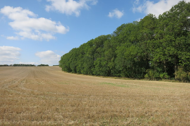
Diamond Plantation is a picturesque woodland located in Oxfordshire, England. Situated in the heart of the county, the plantation covers an expansive area of lush greenery and majestic trees, making it a haven for nature enthusiasts and hikers alike.

The woodland is known for its diverse range of tree species, including oak, beech, and birch, creating a visually stunning landscape throughout the year. The dense forest canopy provides a serene and tranquil atmosphere, allowing visitors to escape the hustle and bustle of everyday life and immerse themselves in the beauty of nature.

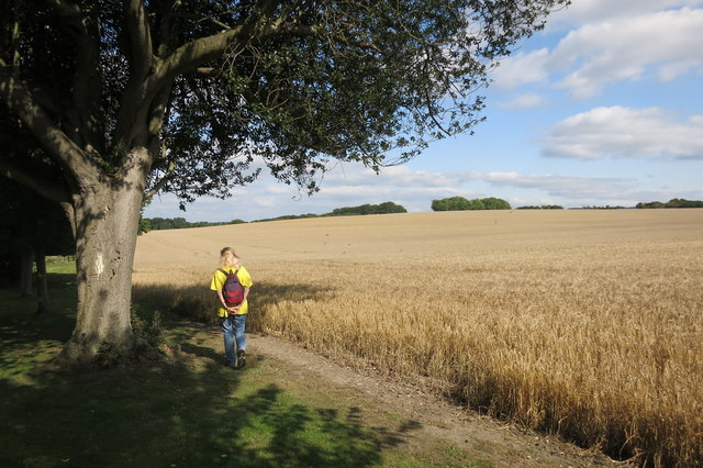
Diamond Plantation offers a network of well-maintained trails and footpaths, making it an ideal destination for walking, jogging, or cycling. The paths wind through the woodland, offering glimpses of wildflowers, ferns, and various flora and fauna that call the plantation home.

The plantation is also a popular spot for birdwatching, with a variety of avian species inhabiting the area. Bird enthusiasts can expect to spot woodpeckers, owls, and various songbirds, adding to the enchanting ambiance of the woodland.

Visitors to Diamond Plantation can take advantage of the picnic areas scattered throughout, allowing for a relaxing break amidst the natural surroundings. The plantation is also equipped with benches and seating areas, perfect for those seeking a moment of solitude or a place to enjoy a good book.

Overall, Diamond Plantation in Oxfordshire offers a peaceful and idyllic retreat for individuals seeking solace in nature's embrace. Its stunning woodland scenery, diverse wildlife, and well-maintained trails make it a must-visit destination for outdoor enthusiasts and nature lovers.

If you have any feedback on the listing, please let us know in the comments section below.

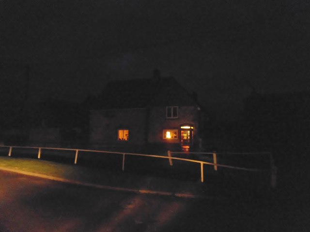
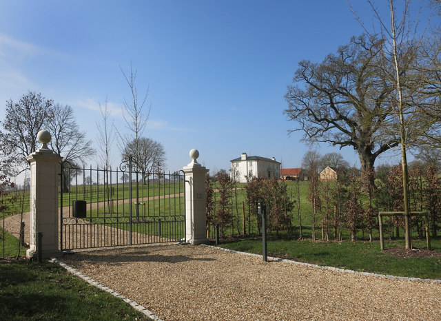
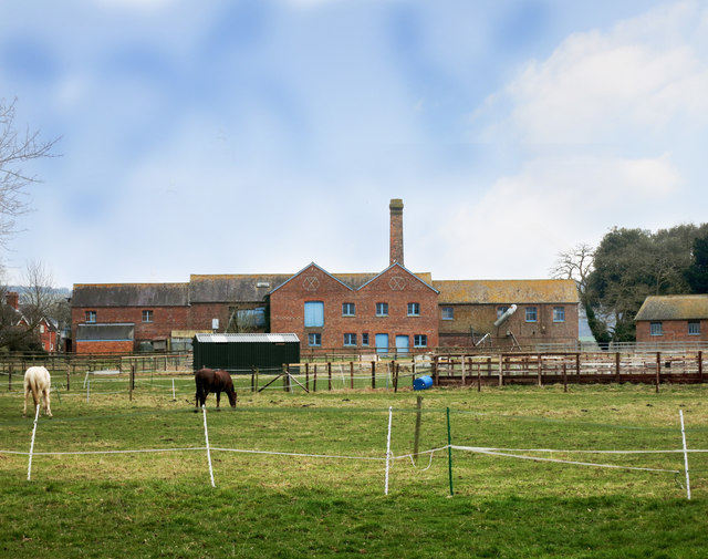
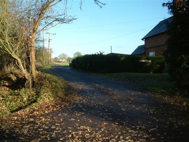
Diamond Plantation Images

Images are sourced within 2km of 51.664074/-1.0224128 or Grid Reference SU6796. Thanks to Geograph Open Source API. All images are credited.

Direction Sign – Signpost on the B480 in Cuxham with Easington parish Located on a grass triangle in the centre of a junction on the B480 at Cuttmill Cottages in Cuxham with Easington parish. 3 arms and annulus finial.

Milestone Society National ID: OX_SU6596
Direction Sign – Signpost on the B480 in Cuxham with Easington parish
Located on a grass triangle in the centre of a junction on the B480 at Cuttmill Cottages in Cuxham with Easington parish. 3 arms and annulus finial. Milestone Society National ID: OX_SU6596
Direction Sign – Signpost on the B480 in Cuxham Located in Cuxham on the northeast side of a T junction on the B480, Cuxham with Easington parish. 3 arms and annulus finial. 

Milestone Society National ID: OX_SU6695
Direction Sign – Signpost on the B480 in Cuxham
Located in Cuxham on the northeast side of a T junction on the B480, Cuxham with Easington parish. 3 arms and annulus finial. Milestone Society National ID: OX_SU6695
Edgington Wood
Edgington Wood
Near Pyrton Heath House From the bridleway which skirts around the garden of this isolated house.
Near Pyrton Heath House
From the bridleway which skirts around the garden of this isolated house.
Tractor near Mount Tree Mount Tree is either the name of this hill or the small wood on the top of it.
Tractor near Mount Tree
Mount Tree is either the name of this hill or the small wood on the top of it.
Cuxham Road, Watlington
House on Cuxham Road, Watlington
Cuxham Road, Watlington
House and phone box in Cuxham This was making use of the lowest possible amount of available light.
House and phone box in Cuxham
This was making use of the lowest possible amount of available light.
Isolated house on the B480 near Cuxham
Clare Court, a bit of a difference Compare this with my picture of how this place looked a few years ago as the derelict Clare Hill Farm.<a href="https://www.geograph.org.uk/photo/2056436">SU6797 : Clare Hill Farm</a>
Clare Court, a bit of a difference
Compare this with my picture of how this place looked a few years ago as the derelict Clare Hill Farm.SU6797 : Clare Hill Farm
The Marl Brook near South Weston One of the streams at the top end of the Chalgrove Brook in the Thame catchment.
It looks to have received some fairly severe tidying up recently.
The Marl Brook near South Weston
One of the streams at the top end of the Chalgrove Brook in the Thame catchment. It looks to have received some fairly severe tidying up recently.
Model Farm A Victorian steam powered farm, with mechanised systems for feeding and heating etc, all housed in these purpose built factory like buildings. Powered by coal brought in by train on the Watlington branch line a short distance away.
The buildings are still in use, and some of the machinery is still in place.
Model Farm
A Victorian steam powered farm, with mechanised systems for feeding and heating etc, all housed in these purpose built factory like buildings. Powered by coal brought in by train on the Watlington branch line a short distance away. The buildings are still in use, and some of the machinery is still in place.
Watlington - Font Inside the mainly 14th century parish church, St Leonard's.
Watlington - Font
Inside the mainly 14th century parish church, St Leonard's.
The Half Moon, Cuxham
Red K6 Telephone Box at Pyrton Situated in Knightsbridge Lane OX49 5AP, this red telephone box has a BT notice inside it mentioning that it will shortly be removed due to lack of usage. However, it is possible that it may be adopted by the local community as has happened elsewhere in recent years.
Red K6 Telephone Box at Pyrton
Situated in Knightsbridge Lane OX49 5AP, this red telephone box has a BT notice inside it mentioning that it will shortly be removed due to lack of usage. However, it is possible that it may be adopted by the local community as has happened elsewhere in recent years.
The Holy Rood Cuxham First visit to the church which shows its heritage
The Holy Rood Cuxham
First visit to the church which shows its heritage
Churchyard and  Vestry Looking east on the churchyard of the Holy Rood Cuxham
Churchyard and Vestry
Looking east on the churchyard of the Holy Rood Cuxham
Show me another place!

Diamond Plantation is located at Grid Ref: SU6796 (Lat: 51.664074, Lng: -1.0224128)

Administrative County: Oxfordshire

District: South Oxfordshire

Police Authority: Thames Valley

What 3 Words

///intestine.terminal.disgraced. Near Watlington, Oxfordshire

Related Wikis

Knightsbridge Lane

Knightsbridge Lane is a 1.7-hectare (4.2-acre) biological Site of Special Scientific Interest just north of Watlington, Oxfordshire.This site consists...

Pyrton

Pyrton is a small village and large civil parish in Oxfordshire about 1 mile (1.6 km) north of the small town of Watlington and 5 miles (8 km) south of...

Cuxham with Easington

Cuxham with Easington is a civil parish in South Oxfordshire. It includes the villages of Cuxham and Easington. The 2011 Census recorded a parish population...

St Mary's Church, Pyrton

St Mary's Church is the Church of England parish church of Pyrton, Oxfordshire, England. Its parish is part of the benefice of Icknield, in the deanery...

Easington, South Oxfordshire

Easington is a small village in the civil parish of Cuxham with Easington, in the South Oxfordshire district, in the county of Oxfordshire, England. It...

Cuxham

Cuxham is a village and former civil parish, now in the parish of Cuxham with Easington, in the South Oxfordshire district, in the county of Oxfordshire...

Icknield Community College

Icknield Community College is a coeducational secondary school located in Watlington, Oxfordshire, England. It offers tuition for years 7-11 (ages 11...

All Saints Church, Shirburn

All Saints' Church is the redundant Church of England parish church of the parish of Shirburn, Oxfordshire, England. It is recorded in the National Heritage...

Nearby Amenities

Located within 500m of 51.664074,-1.0224128
The data included in this document is from www.openstreetmap.org. The data is made available under ODbL.

Have you been to Diamond Plantation?

Leave your review of Diamond Plantation below (or comments, questions and feedback).