Big Clump
Wood, Forest in Nottinghamshire Bassetlaw
England
Big Clump

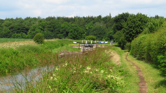
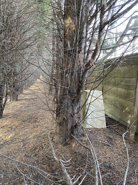
Big Clump is a small village located in Nottinghamshire, England. Situated within the beautiful woodland area of Sherwood Forest, it is known for its tranquil and picturesque surroundings. The village is nestled amidst a dense canopy of trees, providing residents and visitors with a serene and peaceful environment.
Despite its small size, Big Clump has a close-knit community that takes pride in its natural surroundings. The village is home to a handful of charming cottages and houses, which blend seamlessly with the surrounding woodlands. The residents of Big Clump often engage in various outdoor activities, such as hiking, cycling, and nature walks, taking full advantage of the beautiful forest trails that crisscross the area.
The village is also famous for its connection to the legendary figure of Robin Hood, who is said to have frequented the nearby Sherwood Forest. Many visitors come to Big Clump to explore the historic landmarks associated with the legendary outlaw, including the famous Major Oak, believed to be Robin Hood's hideout.
In terms of amenities, Big Clump has a small village shop where residents can purchase basic necessities. However, for more extensive shopping needs, a short drive to the nearby town is required. The village also has a cozy pub, where locals and tourists can gather to enjoy a drink or a hearty meal.
With its idyllic setting and rich history, Big Clump offers a peaceful retreat for those seeking to immerse themselves in nature and experience the charm of Sherwood Forest.
If you have any feedback on the listing, please let us know in the comments section below.
Big Clump Images
Images are sourced within 2km of 53.333986/-0.9854443 or Grid Reference SK6782. Thanks to Geograph Open Source API. All images are credited.


Big Clump is located at Grid Ref: SK6782 (Lat: 53.333986, Lng: -0.9854443)
Administrative County: Nottinghamshire
District: Bassetlaw
Police Authority: Nottinghamshire
What 3 Words
///proven.enlarge.atlas. Near Babworth, Nottinghamshire
Nearby Locations
Related Wikis
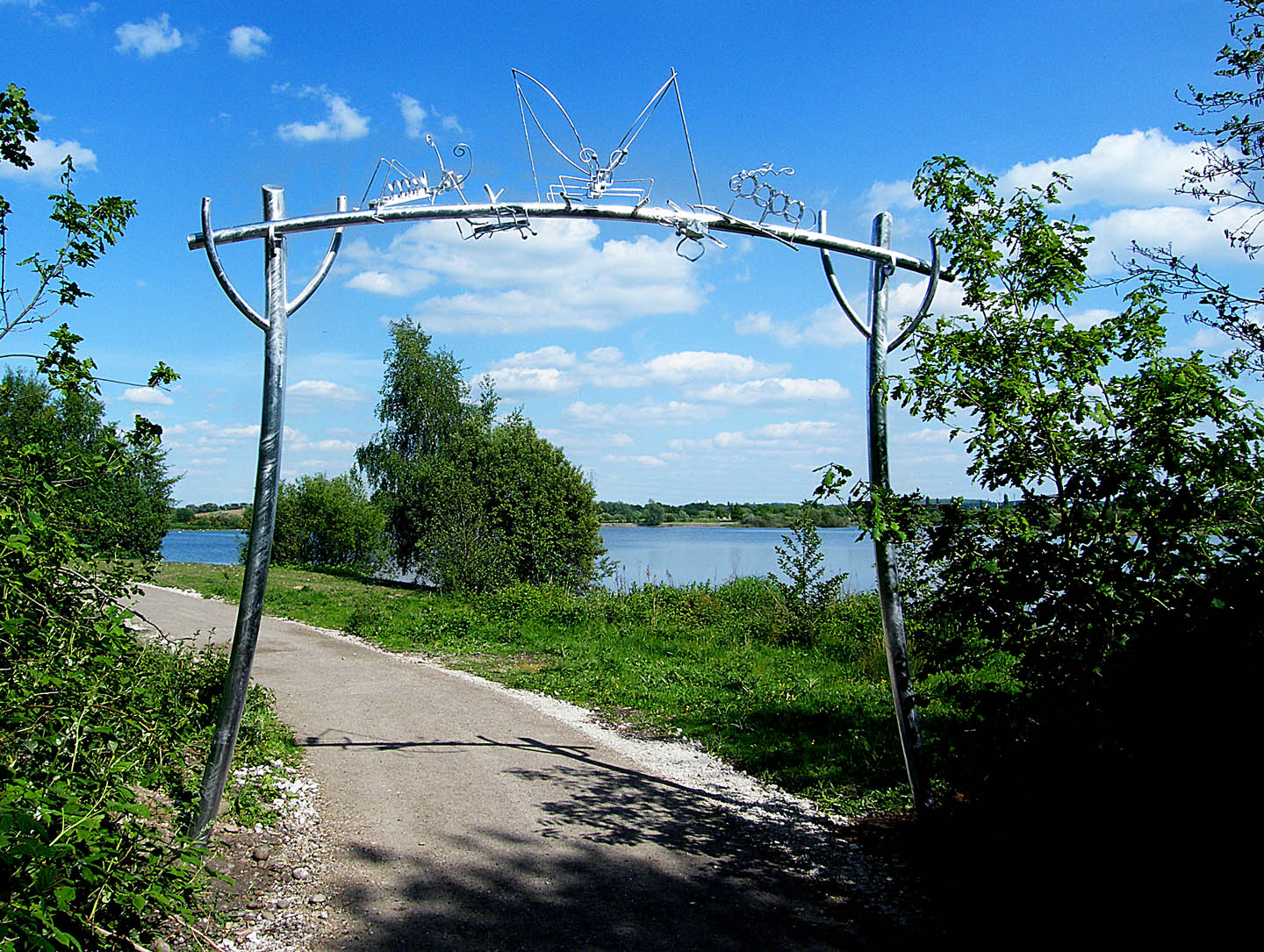
Idle Valley Nature Reserve
The Idle Valley Nature Reserve, also known as Lound Gravel Pits or Sutton and Lound Gravel Pits, is a wetland Site of Special Scientific Interest (SSSI...

HM Prison Ranby
HM Prison Ranby is a Category C men's prison, located in the village of Ranby in Nottinghamshire, England. The prison is operated by His Majesty's Prison...
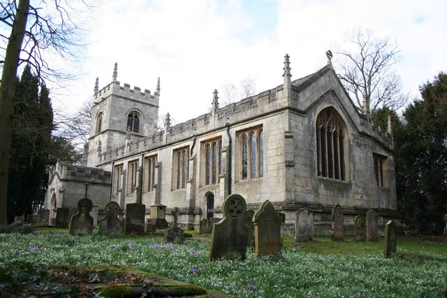
All Saints' Church, Babworth
All Saints' Church, is a Grade I listed parish church in the Church of England in Babworth, Nottinghamshire. == History == The church was built in the...
Sutton cum Lound
Sutton Cum Lound is a village located in Bassetlaw, north Nottinghamshire. It is located 3 miles from Retford. The civil parish is called Sutton. According...
Barnby Moor
Barnby Moor is a village and civil parish in the Bassetlaw district of Nottinghamshire, England, with a population of 257 (2001 census), increasing to...
Barnby Moor and Sutton railway station
Barnby Moor and Sutton railway station served the village of Barnby Moor and Sutton cum Lound, Nottinghamshire, England from 1850 to 1949 on the East Coast...
Retford F.C.
Retford Football Club is an English football club based in Retford, Nottinghamshire. They currently play in the Northern Counties East League Division...
The Elizabethan Academy
The Elizabethan Academy is a secondary school with academy status located in the Nottinghamshire market town of Retford, England. It is situated to the...
Related Videos

Idle Valley Lakeside Walk
A Quick Walk around the lake at Idle Valley Nature Reserve. this was me testing out my new gear. i hope you like. I've got more ...

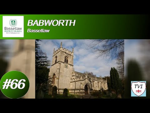
BABWORTH: Bassetlaw Parish #66 of 66
For the 66th and last time, welcome to Bassetlaw! Despite the parish's name, the main village here is actually Ranby. That's where ...
Nearby Amenities
Located within 500m of 53.333986,-0.9854443Have you been to Big Clump?
Leave your review of Big Clump below (or comments, questions and feedback).