Ashford
Settlement in Hampshire New Forest
England
Ashford
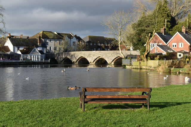
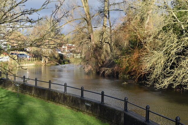
Ashford, Hampshire is a quaint village located in the Test Valley district of Hampshire, England. Situated on the banks of the River Blackwater, it is part of the beautiful countryside of southern England. The village is nestled between the larger towns of Basingstoke and Hook, and is approximately 50 miles southwest of London.
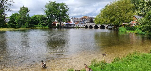
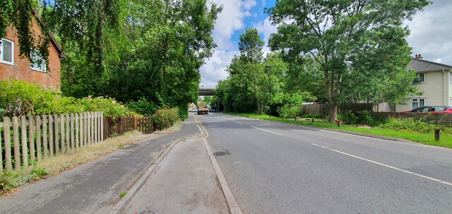
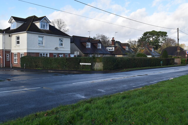
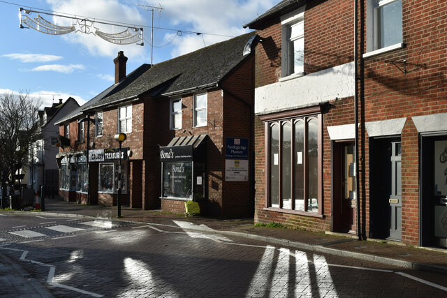
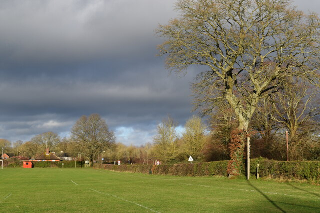
Ashford is known for its picturesque surroundings, with rolling hills, meandering rivers, and stunning landscapes. The village itself is characterized by charming thatched cottages, historic buildings, and a tranquil atmosphere. It has managed to retain its traditional English village charm, making it an attractive destination for both locals and tourists.
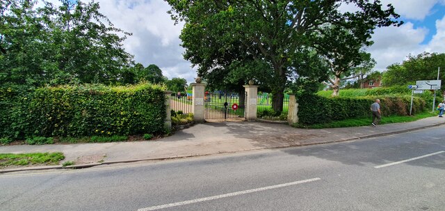
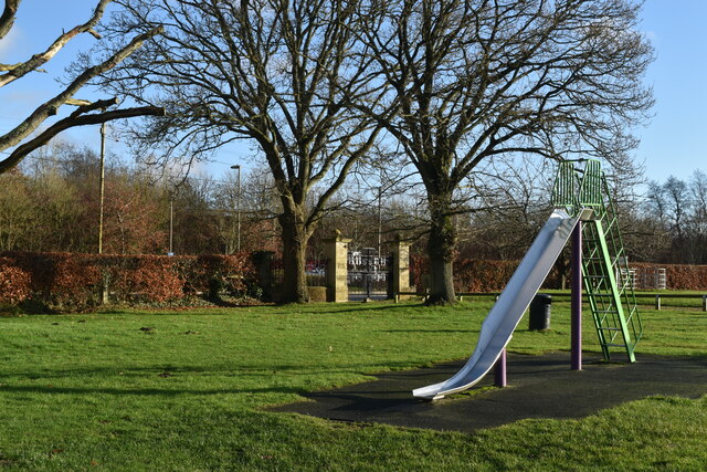
The village offers a range of amenities for its residents, including a primary school, a community center, a village hall, and a local pub. The nearby town of Basingstoke provides additional facilities and services, including shopping centers, supermarkets, and healthcare facilities.
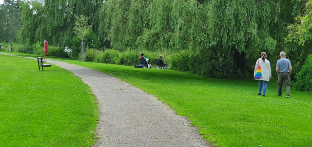
For nature enthusiasts, Ashford is a paradise, with numerous walking and cycling trails that showcase the area's natural beauty. The River Blackwater is a popular spot for fishing, and there are several parks and open spaces for recreational activities.
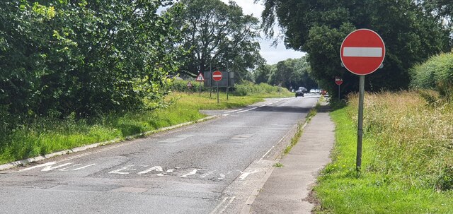
Ashford is well-connected to the rest of Hampshire and beyond. The M3 motorway is easily accessible, providing convenient connections to London and other major cities. The village is also served by regular bus services, connecting it to nearby towns and villages.
Overall, Ashford, Hampshire offers a peaceful and idyllic lifestyle, surrounded by stunning countryside and offering a close-knit community feel.
If you have any feedback on the listing, please let us know in the comments section below.
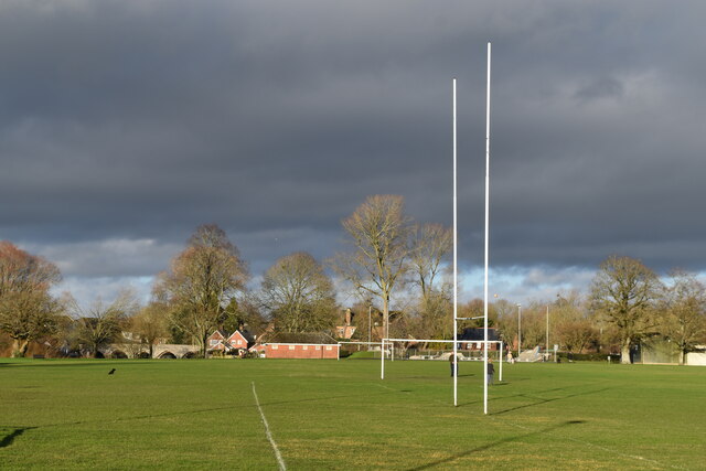
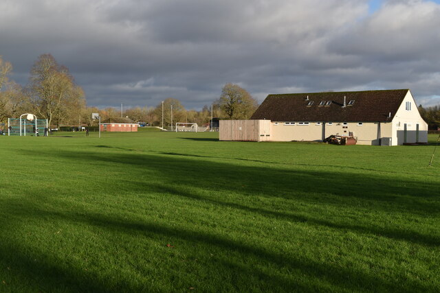
Ashford Images
Images are sourced within 2km of 50.928465/-1.803464 or Grid Reference SU1314. Thanks to Geograph Open Source API. All images are credited.


Ashford is located at Grid Ref: SU1314 (Lat: 50.928465, Lng: -1.803464)
Administrative County: Hampshire
District: New Forest
Police Authority: Hampshire
What 3 Words
///regrowth.replace.icons. Near Fordingbridge, Hampshire
Nearby Locations
Related Wikis

Fordingbridge railway station
Fordingbridge was a railway station serving Fordingbridge, a small town in Hampshire. It was one of many casualties of the mass closure of British railway...

Fordingbridge Hospital
Fordingbridge Hospital is a small community hospital in Fordingbridge, Hampshire, England. The hospital closed to admissions in September 2023. == History... ==
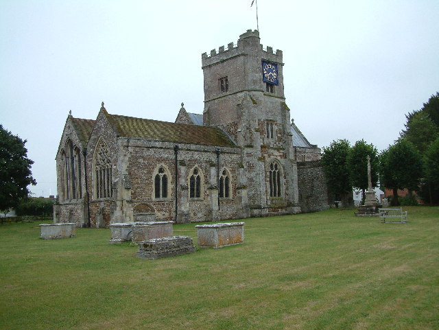
St Mary's Church, Fordingbridge
St Mary's Church, Fordingbridge is a 12th–13th-century church in Hampshire, England. A Grade I listed building, it was restored in the 19th century....

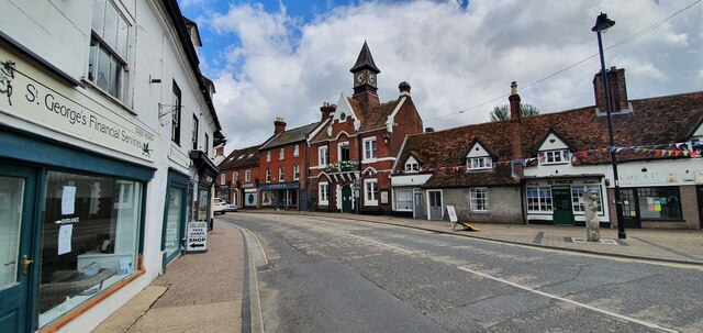
Fordingbridge Town Hall
Fordingbridge Town Hall is a municipal building in the High Street in Fordingbridge, Hampshire, England. The structure, which is the meeting place of Fordingbridge...

Fordingbridge
Fordingbridge is a town and broader civil parish with a population of 6,000 on the River Avon in the New Forest District of Hampshire, England, near the...

Sandleheath
Sandleheath is a village and civil parish about 1.8 miles (2.9 km) west of Fordingbridge in the New Forest District of Hampshire, England. It has a...

The Burgate School and Sixth Form
The Burgate School and Sixth Form (opened in 1957) is an 11–18 academy school. The school is situated in Fordingbridge, Hampshire, and at the current time...

Burgate, Hampshire
Burgate (divided into Upper Burgate and Lower Burgate) is a hamlet situated on the western edge of the New Forest National Park in Hampshire, England....
Nearby Amenities
Located within 500m of 50.928465,-1.803464Have you been to Ashford?
Leave your review of Ashford below (or comments, questions and feedback).