Woodmoorfield Shaw
Wood, Forest in Oxfordshire South Oxfordshire
England
Woodmoorfield Shaw
Woodmoorfield Shaw is a picturesque woodland located in Oxfordshire, England. Covering an area of approximately 500 acres, it is situated in the heart of the county, just a few miles outside the city of Oxford. The name "Woodmoorfield Shaw" is derived from the combination of three elements: wood, moor, and field, accurately reflecting the diverse landscape found within the area.
The woodland is characterized by a dense canopy of trees, predominantly consisting of oak, beech, and birch. These towering trees provide a habitat for a wide variety of wildlife, including birds, small mammals, and insects. The forest floor is adorned with a lush carpet of ferns, wildflowers, and mosses, creating a serene and tranquil environment.
Woodmoorfield Shaw is a popular destination for nature enthusiasts, hikers, and photographers alike. It offers numerous walking trails, allowing visitors to explore the enchanting woodland at their own pace. The trails wind through ancient trees, past serene ponds, and over babbling brooks, providing stunning views at every turn.
The woodland is also home to a rich history, with evidence of human activity dating back thousands of years. Archaeological finds, such as ancient burial mounds and remnants of settlements, provide a glimpse into the past and add to the intrigue of the area.
Overall, Woodmoorfield Shaw is a haven of natural beauty and tranquility in the heart of Oxfordshire. With its diverse flora and fauna, captivating walking trails, and historical significance, it is a place that truly captivates the senses and offers a peaceful escape from the bustling city life.
If you have any feedback on the listing, please let us know in the comments section below.
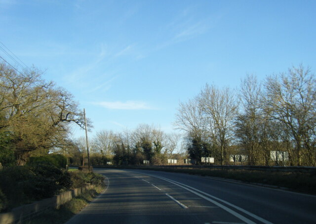
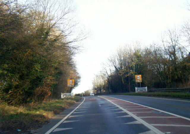
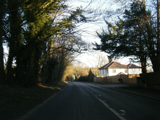
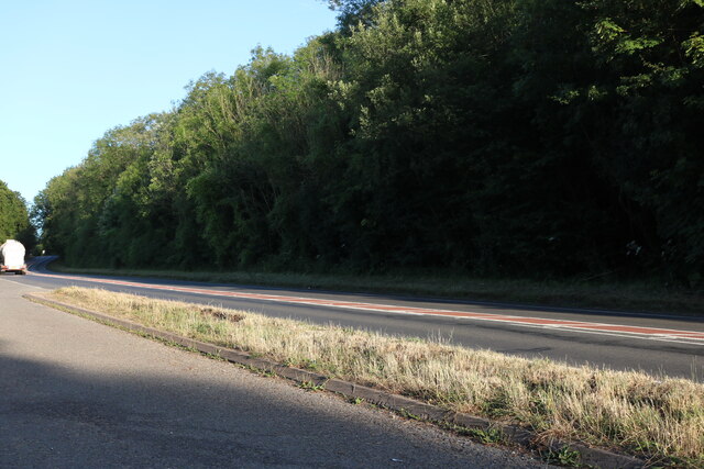
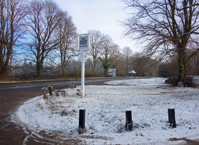
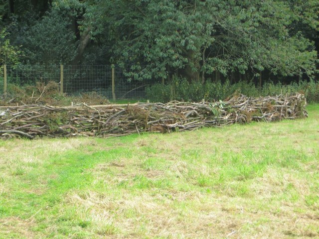
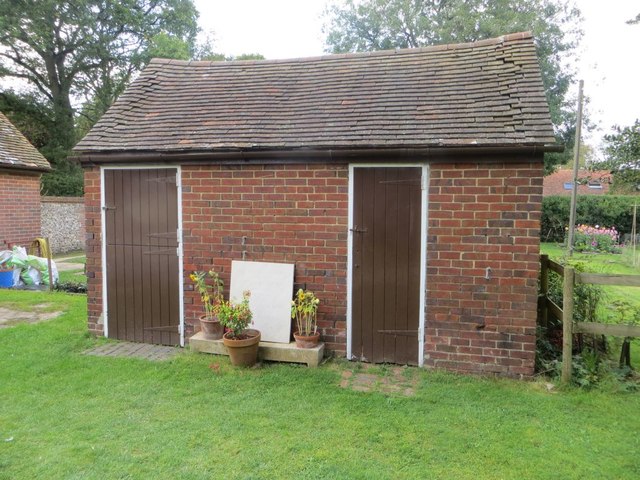
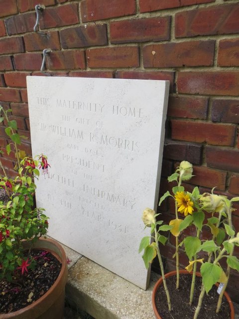
Woodmoorfield Shaw Images
Images are sourced within 2km of 51.575009/-1.0285235 or Grid Reference SU6786. Thanks to Geograph Open Source API. All images are credited.


Woodmoorfield Shaw is located at Grid Ref: SU6786 (Lat: 51.575009, Lng: -1.0285235)
Administrative County: Oxfordshire
District: South Oxfordshire
Police Authority: Thames Valley
What 3 Words
///flames.form.remaining. Near Rotherfield Peppard, Oxfordshire
Nearby Locations
Related Wikis

Henley Rural District
Henley was a rural district in Oxfordshire, England from 1894 to 1974.It was named after the borough of Henley-on-Thames, which it surrounded on the west...

Nuffield, Oxfordshire
Nuffield is a village and civil parish in the Chiltern Hills in South Oxfordshire, England, just over 4 miles (6 km) east of Wallingford. The 2011 Census...

Nuffield Place
Nuffield Place is a country house near the village of Nuffield in the Chiltern Hills in South Oxfordshire, England, just over 4 miles (6 km) east of Wallingford...

HM Prison Huntercombe
HM Prison Huntercombe is a Category C men's prison, located near Nuffield in Oxfordshire, England. It is operated by His Majesty's Prison Service. ��2...
Ipsden Heath
Ipsden Heath is a 32-acre (13-hectare) woodland in the English county of Oxfordshire, within the Chiltern Area of Outstanding Natural Beauty. == References ==

Warren Bank
Warren Bank is a 3.1-hectare (7.7-acre) biological Site of Special Scientific Interest south-east of Wallingford in Oxfordshire. It is managed by the Berkshire...

Nettlebed
Nettlebed is a village and civil parish in Oxfordshire in the Chiltern Hills about 4+1⁄2 miles (7 km) northwest of Henley-on-Thames and 6 miles (10 km...

Stoke Row
Stoke Row is a village and civil parish in the Chiltern Hills, about 5 miles (8 km) west of Henley-on-Thames in South Oxfordshire and about 9 miles (14...
Nearby Amenities
Located within 500m of 51.575009,-1.0285235Have you been to Woodmoorfield Shaw?
Leave your review of Woodmoorfield Shaw below (or comments, questions and feedback).