Easington

Settlement in Oxfordshire South Oxfordshire

England

Easington

Direction Sign – Signpost on the B480 in Cuxham with Easington parish Located on a grass triangle in the centre of a junction on the B480 at Cuttmill Cottages in Cuxham with Easington parish. 3 arms and annulus finial.

Milestone Society National ID: OX_SU6596
Direction Sign – Signpost on the B480 in Cuxham with Easington parish Credit: John V Nicholls

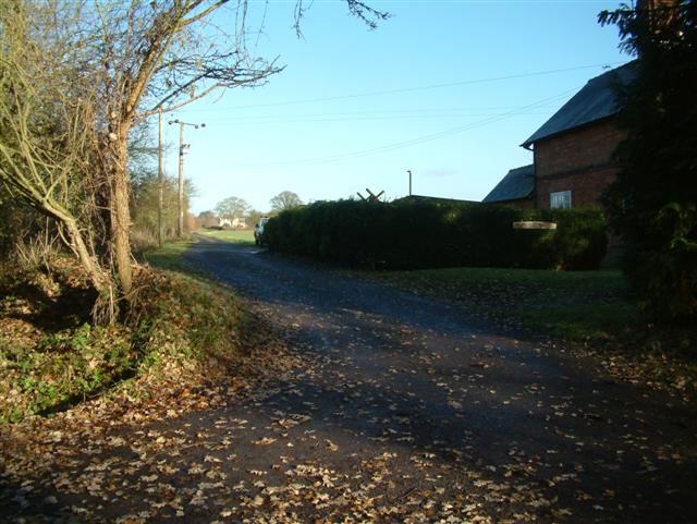
Easington is a small village located in Oxfordshire, England. Situated approximately 3 miles southwest of the town of Banbury, Easington is nestled in the picturesque countryside of the Cherwell Valley. The village is located near the River Cherwell and benefits from its tranquil and scenic surroundings.

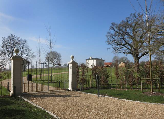
The village of Easington has a rich history, with evidence of human habitation dating back to the Roman era. In fact, the remains of a Roman villa have been discovered in the area. The village itself has a charming and traditional English character, with a mix of historic and modern buildings. It is known for its well-preserved thatched cottages that give it a quintessential English village feel.

Easington is a close-knit community with a population of around 500 residents. The village has a primary school, providing education for local children, and a village hall which serves as a hub for social events and community gatherings. The nearby town of Banbury offers a wider range of amenities, including shops, supermarkets, and leisure facilities.

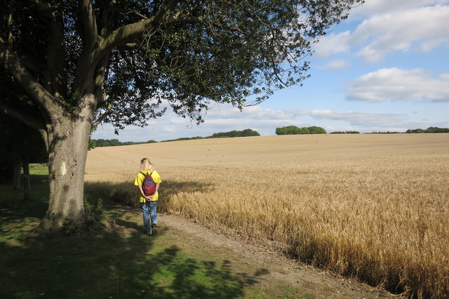
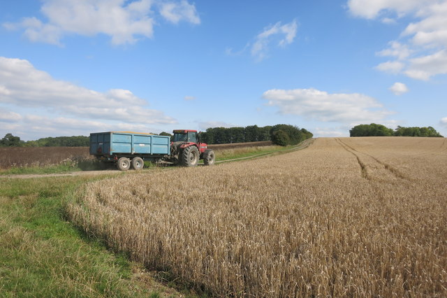
For outdoor enthusiasts, Easington is an ideal location. The village is surrounded by beautiful countryside, offering plenty of opportunities for walking, hiking, and cycling. The River Cherwell also provides opportunities for boating and fishing.

In summary, Easington is a picturesque village in Oxfordshire, known for its historic charm, beautiful countryside, and strong sense of community. It is a perfect place for those seeking a peaceful and idyllic rural lifestyle, while still having access to nearby amenities.

If you have any feedback on the listing, please let us know in the comments section below.
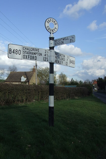
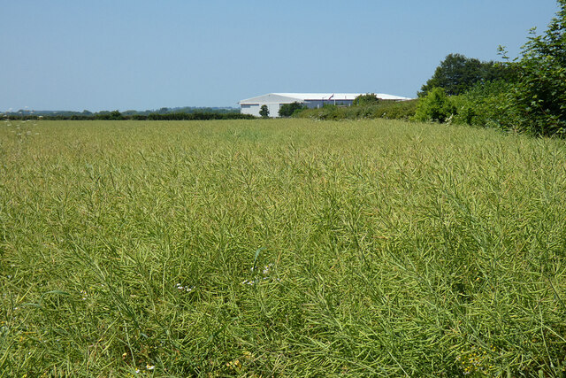
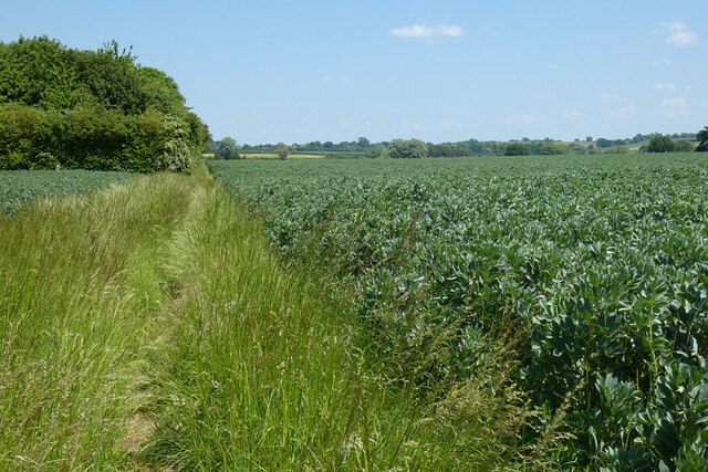
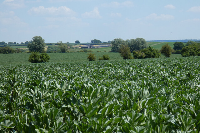
Easington Images

Images are sourced within 2km of 51.668875/-1.0442021 or Grid Reference SU6697. Thanks to Geograph Open Source API. All images are credited.

Direction Sign – Signpost on the B480 in Cuxham with Easington parish Located on a grass triangle in the centre of a junction on the B480 at Cuttmill Cottages in Cuxham with Easington parish. 3 arms and annulus finial.

Milestone Society National ID: OX_SU6596
Direction Sign – Signpost on the B480 in Cuxham with Easington parish
Located on a grass triangle in the centre of a junction on the B480 at Cuttmill Cottages in Cuxham with Easington parish. 3 arms and annulus finial. Milestone Society National ID: OX_SU6596
Direction Sign – Signpost on the B480 in Cuxham Located in Cuxham on the northeast side of a T junction on the B480, Cuxham with Easington parish. 3 arms and annulus finial. 

Milestone Society National ID: OX_SU6695
Direction Sign – Signpost on the B480 in Cuxham
Located in Cuxham on the northeast side of a T junction on the B480, Cuxham with Easington parish. 3 arms and annulus finial. Milestone Society National ID: OX_SU6695
Farmland, Chalgrove Oil-seed rape and business premises on the airfield.
Farmland, Chalgrove
Oil-seed rape and business premises on the airfield.
Farmland, Chalgrove A bridleway, in theory, cuts through the field of beans here on its way to Easington.  In practice, it's never been an easy one to follow.
Farmland, Chalgrove
A bridleway, in theory, cuts through the field of beans here on its way to Easington. In practice, it's never been an easy one to follow.
Farmland, Chalgrove Golder Manor is seen in the background beyond fields of beans.
Farmland, Chalgrove
Golder Manor is seen in the background beyond fields of beans.
Near Pyrton Heath House From the bridleway which skirts around the garden of this isolated house.
Near Pyrton Heath House
From the bridleway which skirts around the garden of this isolated house.
Tractor near Mount Tree Mount Tree is either the name of this hill or the small wood on the top of it.
Tractor near Mount Tree
Mount Tree is either the name of this hill or the small wood on the top of it.
House and phone box in Cuxham This was making use of the lowest possible amount of available light.
House and phone box in Cuxham
This was making use of the lowest possible amount of available light.
Isolated house on the B480 near Cuxham
Clare Court, a bit of a difference Compare this with my picture of how this place looked a few years ago as the derelict Clare Hill Farm.<a href="https://www.geograph.org.uk/photo/2056436">SU6797 : Clare Hill Farm</a>
Clare Court, a bit of a difference
Compare this with my picture of how this place looked a few years ago as the derelict Clare Hill Farm.SU6797 : Clare Hill Farm
Rural road to Cuxham
The Half Moon, Cuxham
Hampden's Monument, Chalgrove A grade II listed 'building', erected in 1843 to commemorate John Hampden, killed at the Battle of Chalgrove Field in 1643.  This is in the southern corner of the battle zone.
Hampden's Monument, Chalgrove
A grade II listed 'building', erected in 1843 to commemorate John Hampden, killed at the Battle of Chalgrove Field in 1643. This is in the southern corner of the battle zone.
The Holy Rood Cuxham First visit to the church which shows its heritage
The Holy Rood Cuxham
First visit to the church which shows its heritage
Churchyard and  Vestry Looking east on the churchyard of the Holy Rood Cuxham
Churchyard and Vestry
Looking east on the churchyard of the Holy Rood Cuxham
Part of the churchyard Part of the churchyard at the Holy Rood Cuxham
Part of the churchyard
Part of the churchyard at the Holy Rood Cuxham
Skull on the headstone The covering of lichen makes it look like the skull has a cap on at the Holy Rood Cuxham
Skull on the headstone
The covering of lichen makes it look like the skull has a cap on at the Holy Rood Cuxham
Cross near the Church A forgotten grave near the tower at the Holy Rood Cuxham
Cross near the Church
A forgotten grave near the tower at the Holy Rood Cuxham
Show me another place!

Easington is located at Grid Ref: SU6697 (Lat: 51.668875, Lng: -1.0442021)

Administrative County: Oxfordshire

District: South Oxfordshire

Police Authority: Thames Valley

What 3 Words

///dried.detection.clerics. Near Chalgrove, Oxfordshire

Nearby Locations

Easington Round Hill

Related Wikis

Easington, South Oxfordshire

Easington is a small village in the civil parish of Cuxham with Easington, in the South Oxfordshire district, in the county of Oxfordshire, England. It...

Cuxham with Easington

Cuxham with Easington is a civil parish in South Oxfordshire. It includes the villages of Cuxham and Easington. The 2011 Census recorded a parish population...

Cuxham

Cuxham is a village and former civil parish, now in the parish of Cuxham with Easington, in the South Oxfordshire district, in the county of Oxfordshire...

Knightsbridge Lane

Knightsbridge Lane is a 1.7-hectare (4.2-acre) biological Site of Special Scientific Interest just north of Watlington, Oxfordshire.This site consists...

Henley (UK Parliament constituency)

Henley is a constituency in Oxfordshire represented in the House of Commons of the UK Parliament since 2008 by John Howell, a Member of Parliament from...

South Oxfordshire

South Oxfordshire is a local government district in the ceremonial county of Oxfordshire, England. Its council is temporarily based outside the district...

Brightwell Baldwin

Brightwell Baldwin is a village and civil parish in Oxfordshire, about 4+1⁄2 miles (7 km) northeast of Wallingford. It was historically in the Hundred...

Chalgrove

Chalgrove is a village and civil parish in South Oxfordshire about 10 miles (16 km) southeast of Oxford. The parish includes the hamlet of Rofford and...

Nearby Amenities

Located within 500m of 51.668875,-1.0442021
Easington
Place: hamlet
Wikidata: Q5327519
Lat/Long: 51.6686093/-1.0444919
Passing Place
Lat/Long: 51.6663902/-1.0418907
Power: pole
Source: Bing
Lat/Long: 51.67272/-1.0408417
Power: pole
Lat/Long: 51.6692241/-1.0427758
Power: pole
Lat/Long: 51.6697448/-1.0421267
Power: pole
Lat/Long: 51.6703303/-1.0419483
Power: pole
Lat/Long: 51.6710548/-1.0415863
Power: pole
Lat/Long: 51.6719904/-1.0412148
Post Box
Post Box Type: lamp
Ref: OX49 644
Royal Cypher: EIIR
Royal Cypher Wikidata: Q33102113
Lat/Long: 51.6687492/-1.0440056
Barrier: kissing_gate
Lat/Long: 51.6684344/-1.0446333
Barrier: kissing_gate
Lat/Long: 51.668665/-1.0440859
Direction: 240
Generator Method: photovoltaic
Generator Output Electricity: yes
Generator Solar Modules: 112
Generator Source: solar
Generator Type: solar_photovoltaic_panel
Location: roof
Power: generator
Tilt: 20
Lat/Long: 51.6681657/-1.0443829
The data included in this document is from www.openstreetmap.org. The data is made available under ODbL.

Have you been to Easington?

Leave your review of Easington below (or comments, questions and feedback).