Easington
Settlement in Yorkshire
England
Easington
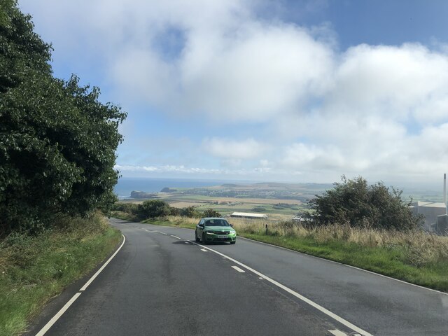
Easington is a small village located in the East Riding of Yorkshire, England. Situated on the Holderness coast, it is approximately 15 miles northeast of the city of Hull. As of the 2011 census, the village had a population of around 400 people.
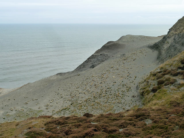
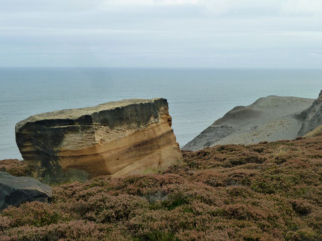
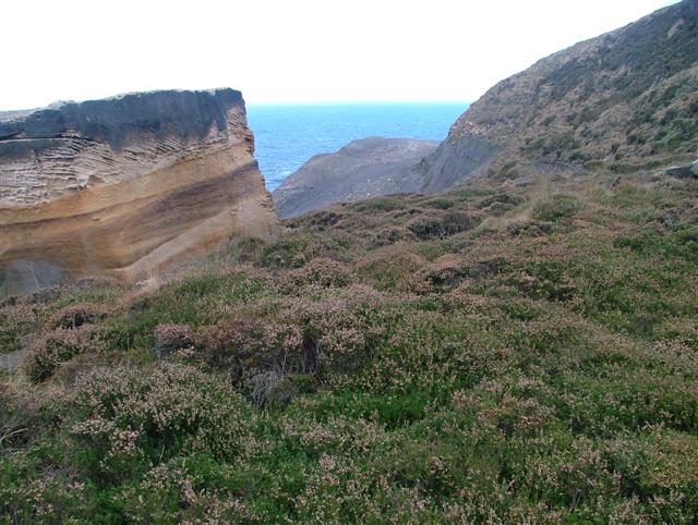
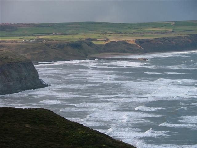
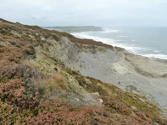
The village of Easington is known for its picturesque surroundings and natural beauty. It is surrounded by open fields and farmland, providing a peaceful and tranquil atmosphere. The nearby coastline offers stunning views of the North Sea, and the area is popular among nature enthusiasts and walkers.
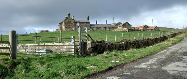
Easington has a rich history, with evidence of human activity dating back to the Bronze Age. The village features a number of historical landmarks, including the Grade II listed All Saints Church, which dates back to the 13th century. The village also has a traditional village pub, The Ship Inn, which is a popular gathering place for locals and visitors alike.
Despite its small size, Easington is well-served by amenities. It has a primary school, a village hall, and a post office, providing essential services to the local community. The nearby town of Withernsea offers additional facilities, including shops, supermarkets, and healthcare services.
Easington is a close-knit community with a strong sense of community spirit. The village hosts various events throughout the year, including a summer fete and a Christmas market, bringing residents together and fostering a sense of belonging.
Overall, Easington is a charming village that offers a peaceful and idyllic lifestyle, making it an attractive place to live or visit for those seeking a slower pace of life and natural beauty.
If you have any feedback on the listing, please let us know in the comments section below.
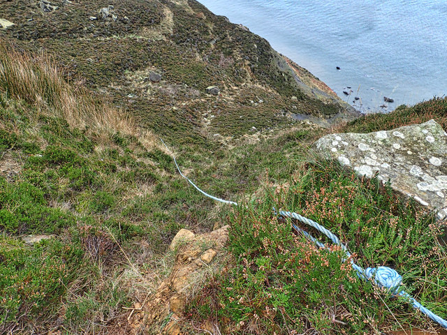
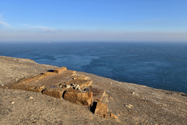
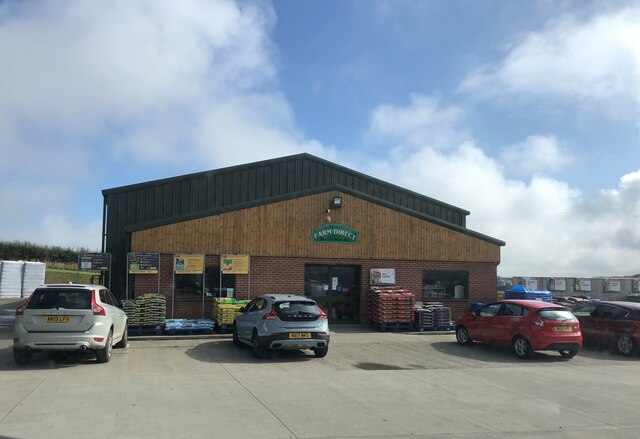
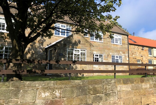
Easington Images
Images are sourced within 2km of 54.553148/-0.851174 or Grid Reference NZ7418. Thanks to Geograph Open Source API. All images are credited.


Easington is located at Grid Ref: NZ7418 (Lat: 54.553148, Lng: -0.851174)
Division: North Riding
Unitary Authority: Redcar and Cleveland
Police Authority: Cleveland
What 3 Words
///chugging.avid.voices. Near Loftus, North Yorkshire
Nearby Locations
Related Wikis

Easington, North Yorkshire
Easington is a village in the civil parish of Loftus, in the Redcar and Cleveland district, in the ceremonial county of North Yorkshire, England and is...

Grinkle railway station
Grinkle railway station was on the Whitby Redcar and Middlesbrough Union Railway. It was opened on 3 December 1883, and served the village of Easington...
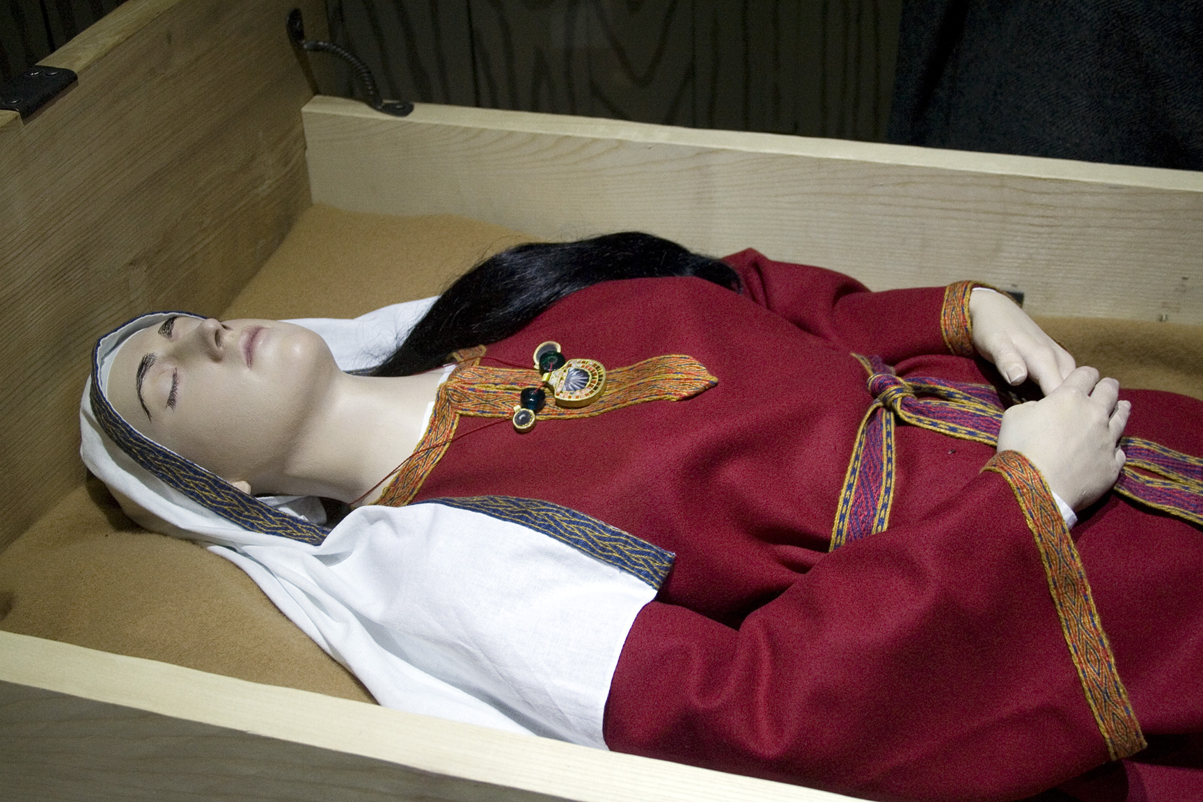
Street House Anglo-Saxon cemetery
The Street House Anglo-Saxon cemetery is an Anglo-Saxon burial ground, dating to the second half of the 7th century AD, that was discovered at Street House...
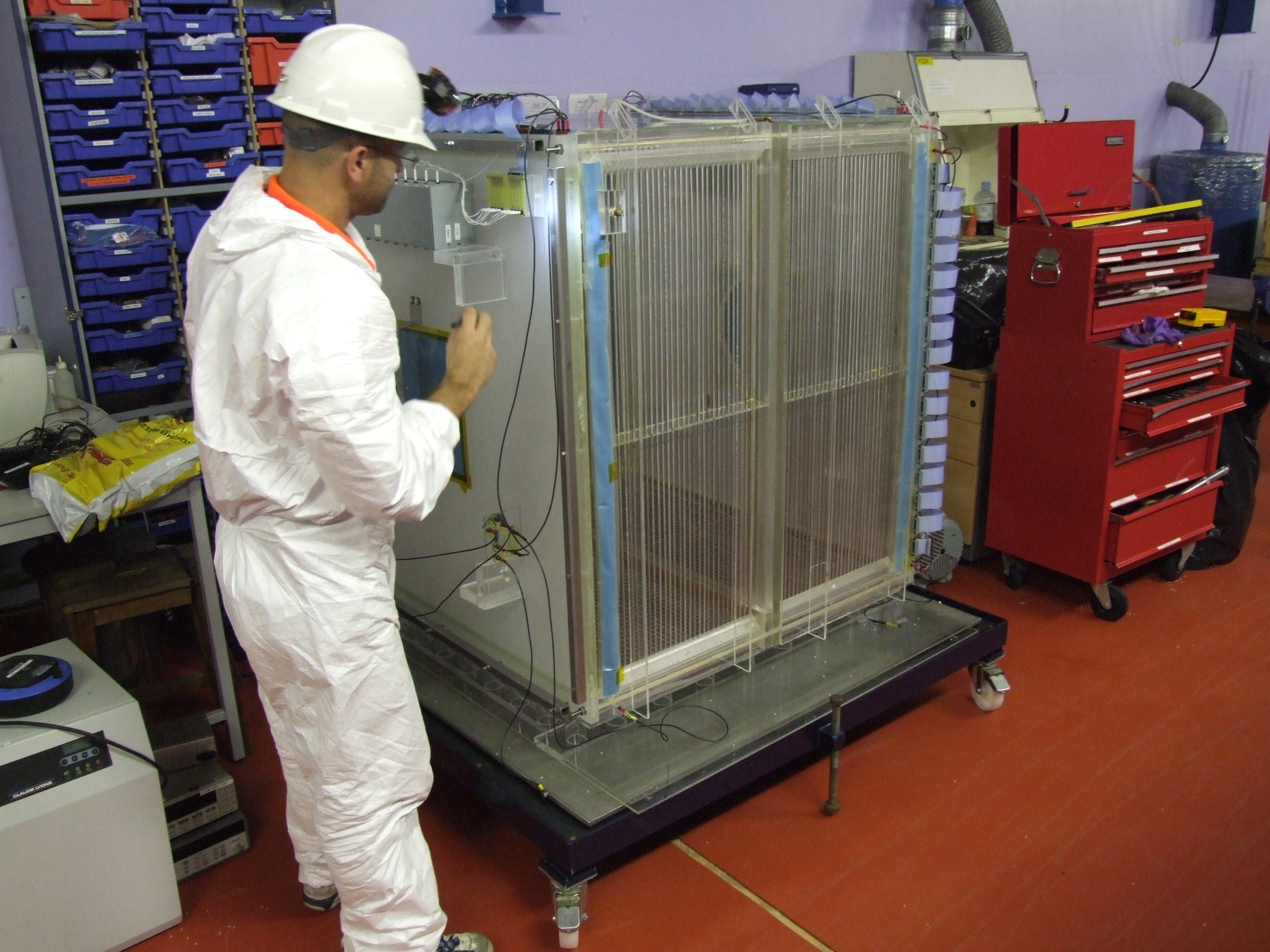
Directional Recoil Identification from Tracks
The Directional Recoil Identification from Tracks (DRIFT) detector is a low pressure negative ion time projection chamber (NITPC) designed to detect weakly...
Nearby Amenities
Located within 500m of 54.553148,-0.851174Have you been to Easington?
Leave your review of Easington below (or comments, questions and feedback).