Cowleaze Copse
Wood, Forest in Oxfordshire South Oxfordshire
England
Cowleaze Copse
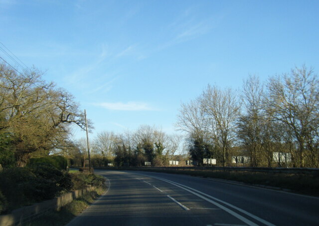
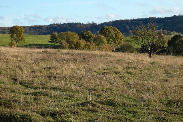
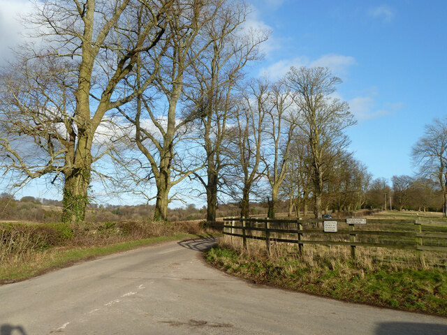
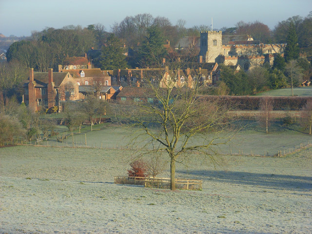
Cowleaze Copse is a picturesque woodland located in Oxfordshire, England. Covering an area of approximately 50 hectares, it is situated near the village of Nuffield, close to the Chiltern Hills. The copse is known for its stunning natural beauty and abundant wildlife, attracting nature enthusiasts and hikers alike.
The woodland primarily consists of broadleaf trees, with oak and beech being the dominant species. These majestic trees create a dense canopy, providing shade and shelter for a diverse range of flora and fauna. Bluebells, wild garlic, and wood anemones carpet the forest floor during spring, adding a vibrant burst of color to the landscape.
Cowleaze Copse is also home to a variety of wildlife. Visitors may spot deer, badgers, and foxes roaming freely throughout the woodland. Birdwatchers will delight in the sight of woodpeckers, owls, and various songbirds that call this copse their home.
The copse is crisscrossed by a network of footpaths and trails, making it a popular destination for walkers and nature lovers. These paths offer stunning views of the surrounding countryside, including the nearby Chiltern Hills and the rolling fields of Oxfordshire.
Managed by the National Trust, Cowleaze Copse is a designated site of special scientific interest (SSSI) due to its ecological importance. The trust actively maintains the woodland, ensuring its preservation for future generations to enjoy.
If you have any feedback on the listing, please let us know in the comments section below.
Cowleaze Copse Images
Images are sourced within 2km of 51.604533/-1.030204 or Grid Reference SU6789. Thanks to Geograph Open Source API. All images are credited.


Cowleaze Copse is located at Grid Ref: SU6789 (Lat: 51.604533, Lng: -1.030204)
Administrative County: Oxfordshire
District: South Oxfordshire
Police Authority: Thames Valley
What 3 Words
///bigger.impulses.daydream. Near Watlington, Oxfordshire
Nearby Locations
Related Wikis

Swyncombe
Swyncombe is a hamlet and large civil parish in the high Chilterns, within the Area of Outstanding Natural Beauty about 4+1⁄2 miles (7 km) east of Wallingford...

Swyncombe Downs
Swyncombe Downs is a 47.1-hectare (116-acre) biological Site of Special Scientific Interest east of Wallingford in Oxfordshire.This is an area of chalk...

HM Prison Huntercombe
HM Prison Huntercombe is a Category C men's prison, located near Nuffield in Oxfordshire, England. It is operated by His Majesty's Prison Service. ��2...

Nuffield Place
Nuffield Place is a country house near the village of Nuffield in the Chiltern Hills in South Oxfordshire, England, just over 4 miles (6 km) east of Wallingford...

Nuffield, Oxfordshire
Nuffield is a village and civil parish in the Chiltern Hills in South Oxfordshire, England, just over 4 miles (6 km) east of Wallingford. The 2011 Census...

A4130 road
The A4130 is a British A road which runs from a junction with the A404 at Burchetts Green (Maidenhead), Berkshire to the A417 at Rowstock in Oxfordshire...
Ewelme
Ewelme () is a village and civil parish in the Chiltern Hills in South Oxfordshire, 2.5 miles (4 km) north-east of the market town of Wallingford. The...

Russell's Water
Russell's Water is a hamlet about 6 miles (9.7 km) north of Henley-on-Thames in South Oxfordshire. It is in the Chiltern Hills about 620 feet (190 m)...
Nearby Amenities
Located within 500m of 51.604533,-1.030204Have you been to Cowleaze Copse?
Leave your review of Cowleaze Copse below (or comments, questions and feedback).