Buryfield Spinney
Wood, Forest in Buckinghamshire
England
Buryfield Spinney
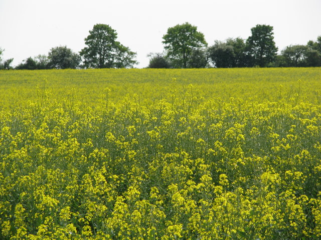
Buryfield Spinney is a small woodland located in the county of Buckinghamshire, England. Situated near the village of Bledlow, it covers an area of approximately 10 acres. The spinney is part of the larger Chiltern Hills Area of Outstanding Natural Beauty and is known for its scenic beauty and diverse wildlife.
The woodland is predominantly made up of deciduous trees, including oak, beech, and birch. These trees provide a rich canopy, creating a shaded and peaceful environment. The forest floor is covered in a variety of vegetation, including bluebells, ferns, and wild garlic, creating a vibrant and colorful display during the spring and summer months.
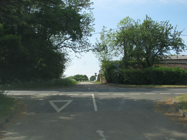
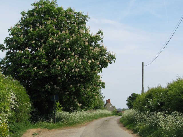
Buryfield Spinney offers several walking trails, allowing visitors to explore the woodland and its surroundings. These paths wind through the trees, providing a tranquil atmosphere for walkers and nature enthusiasts. The spinney is also home to a wide range of wildlife, including deer, foxes, and various bird species. It is a popular spot for birdwatching, with sightings of woodpeckers, owls, and songbirds being common.
The woodland is managed by a local conservation group, who work to maintain its natural beauty and protect its wildlife. They regularly organize educational activities and events to promote awareness and understanding of the local ecology.
Overall, Buryfield Spinney is a charming and picturesque woodland, offering visitors a chance to escape the hustle and bustle of everyday life and immerse themselves in the tranquility of nature.
If you have any feedback on the listing, please let us know in the comments section below.
Buryfield Spinney Images
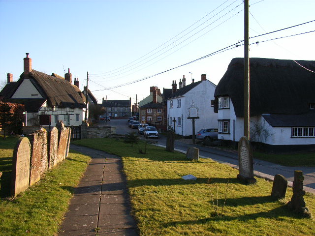
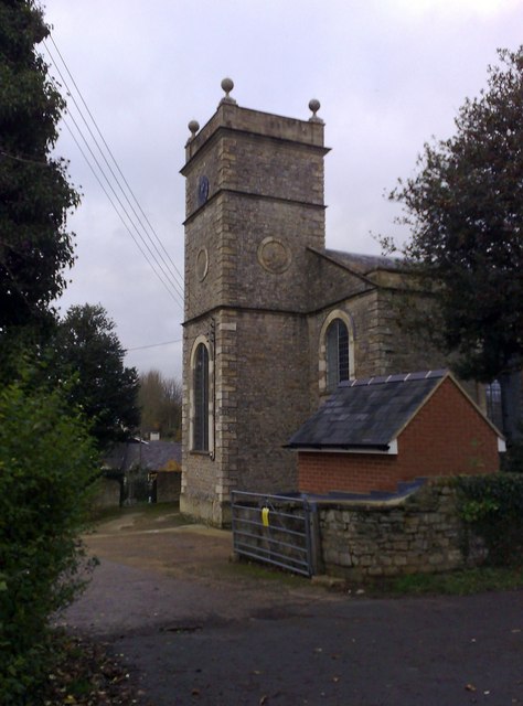
Images are sourced within 2km of 51.957808/-1.0243044 or Grid Reference SP6729. Thanks to Geograph Open Source API. All images are credited.


Buryfield Spinney is located at Grid Ref: SP6729 (Lat: 51.957808, Lng: -1.0243044)
Unitary Authority: Buckinghamshire
Police Authority: Thames Valley
What 3 Words
///panic.reconnect.running. Near Steeple Claydon, Buckinghamshire
Nearby Locations
Related Wikis

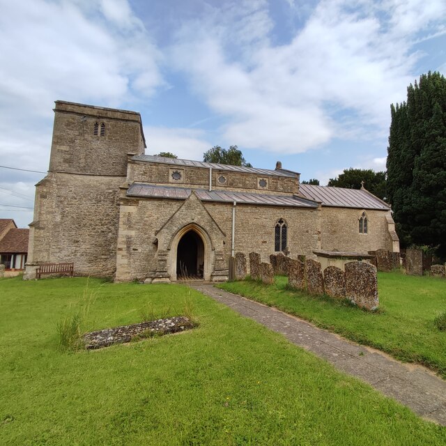
Hillesden
Hillesden is a village and civil parish in north-west Buckinghamshire, England, about 4 miles (6.4 km) south of Buckingham. The village name is Anglo-Saxon...
Preston Bissett
Preston Bissett is a village and civil parish in the unitary authority area of Buckinghamshire, England. It is about four miles SSW of Buckingham, six...
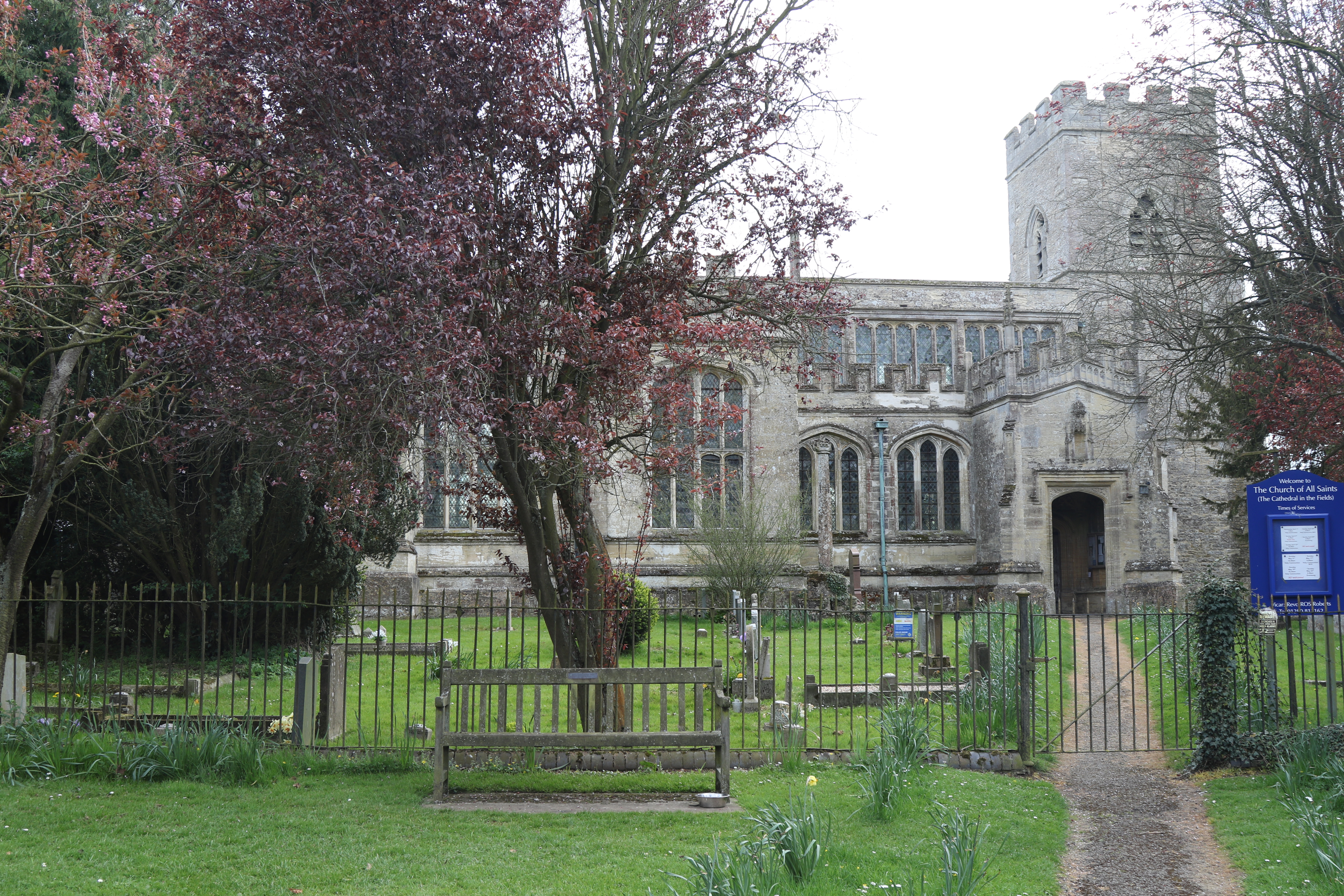
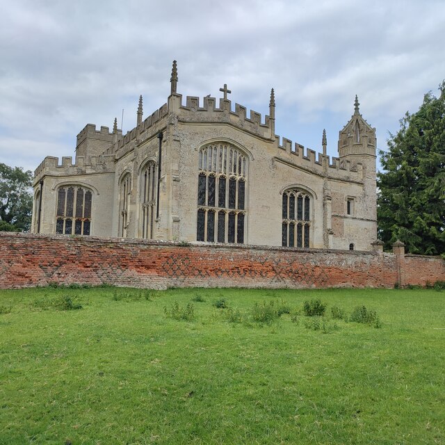
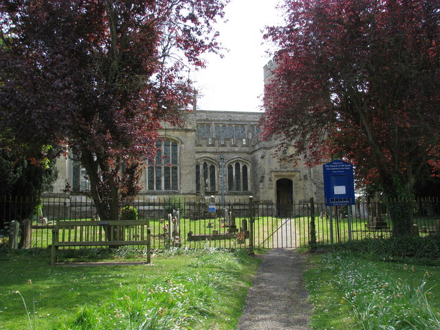
All Saints' Church, Hillesden
All Saints’ Church, Hillesden is a Grade I listed parish church in the Church of England in Hillesden, Buckinghamshire. == History == The church tower...
Gawcott
Gawcott is a village about 1.5 miles (2.4 km) southwest of Buckingham in the Buckinghamshire district in the ceremonial county of Buckinghamshire, England...
Nearby Amenities
Located within 500m of 51.957808,-1.0243044Have you been to Buryfield Spinney?
Leave your review of Buryfield Spinney below (or comments, questions and feedback).