Bottom Shaw
Wood, Forest in Oxfordshire South Oxfordshire
England
Bottom Shaw

Bottom Shaw is a picturesque woodland area located in Oxfordshire, England. Nestled within the larger Shaw Forest, this tranquil spot is a haven for nature enthusiasts and those seeking a peaceful escape from the bustling city life. The area is renowned for its dense woodlands, providing a serene setting for leisurely walks and exploration.
Covering an expansive area of approximately 100 acres, Bottom Shaw boasts a rich variety of plant and animal life. Towering oak and beech trees dominate the landscape, forming a lush canopy that offers shade and shelter to a diverse range of woodland creatures. Visitors can expect to encounter an array of wildlife, including deer, squirrels, and a multitude of bird species.
The woodland paths wind through the forest, guiding visitors along the enchanting trails that showcase the natural beauty of Bottom Shaw. The area is particularly captivating during the spring, when the forest floor becomes carpeted with vibrant bluebells, creating a breathtaking sight.
Bottom Shaw is also home to a small pond, where visitors can observe an assortment of aquatic life, such as frogs and dragonflies. The pond serves as a peaceful spot for reflection and relaxation, allowing visitors to immerse themselves in the tranquility of the surroundings.
With its idyllic setting and abundance of natural beauty, Bottom Shaw offers a peaceful retreat for nature lovers and those seeking a break from the fast-paced urban lifestyle. Whether it's a leisurely stroll, wildlife spotting, or simply enjoying the serenity of the woods, Bottom Shaw provides a truly rejuvenating experience for all who visit.
If you have any feedback on the listing, please let us know in the comments section below.
Bottom Shaw Images
Images are sourced within 2km of 51.49534/-1.0368872 or Grid Reference SU6677. Thanks to Geograph Open Source API. All images are credited.


Bottom Shaw is located at Grid Ref: SU6677 (Lat: 51.49534, Lng: -1.0368872)
Administrative County: Oxfordshire
District: South Oxfordshire
Police Authority: Thames Valley
What 3 Words
///types.sticky.award. Near Pangbourne, Berkshire
Nearby Locations
Related Wikis

Hardwick House, Oxfordshire
Hardwick House is a Tudor house on the banks of the River Thames on a slight rise at Whitchurch-on-Thames in the English county of Oxfordshire. It is reputed...

Mapledurham Lock
Mapledurham Lock is a lock and weir situated on the River Thames in England, about 4 miles upstream of Reading. The lock was first built in 1777 by the...

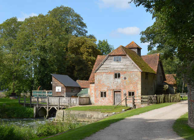
Mapledurham Watermill
Mapledurham Watermill is a historic watermill in the civil parish of Mapledurham in the English county of Oxfordshire. It is driven by the head of water...

Mapledurham
Mapledurham is a small village, civil parish and country estate beside the River Thames in southern Oxfordshire, England. The large parish borders Caversham...

Mapledurham House
Mapledurham House is an Elizabethan stately home located in the civil parish of Mapledurham in the English county of Oxfordshire. It is a Grade I listed...

Trench Green
Trench Green is a hamlet in Oxfordshire about 1 mile (1.6 km) northeast of the village of Mapledurham and about 4 miles (6.4 km) northwest of Reading in...
Purley on Thames
Purley on Thames (known locally as Purley) is a village and civil parish in Berkshire, England. Purley is centred 3 miles (4.8 km) north-west of Reading...

Chazey Heath
Chazey Heath is a hamlet in Oxfordshire, England, about 3 miles (4.8 km) north of Reading, Berkshire. It is situated on the A4074 road, between Caversham...
Related Videos
Walking The Thames Path - Part 1 - Purley to Goring
Part 1 of 2022 challenge to walk the entire Thames Path. I am starting from Reading and walking to the source first. After that, I will ...

The Copse - Wedding Weekends John and Kach Howe - TwoMonkeysTravel
We would like to share with you our latest wedding from England. We were filming a wedding of two travelers, whose job is ...
Walking The Thames Path - Part 2 - Goring to Shillingford
Part 2 of my 2022 challenge to walk the entire Thames Path. I am starting from Reading and walking to the source first. After that, I ...

Berkshire 3.7 mile circular walk: Collins End Wood
Collins End Wood: 3.7 mile circular walk Guided Walk: ...
Nearby Amenities
Located within 500m of 51.49534,-1.0368872Have you been to Bottom Shaw?
Leave your review of Bottom Shaw below (or comments, questions and feedback).