Colesheath Copse
Wood, Forest in Oxfordshire South Oxfordshire
England
Colesheath Copse
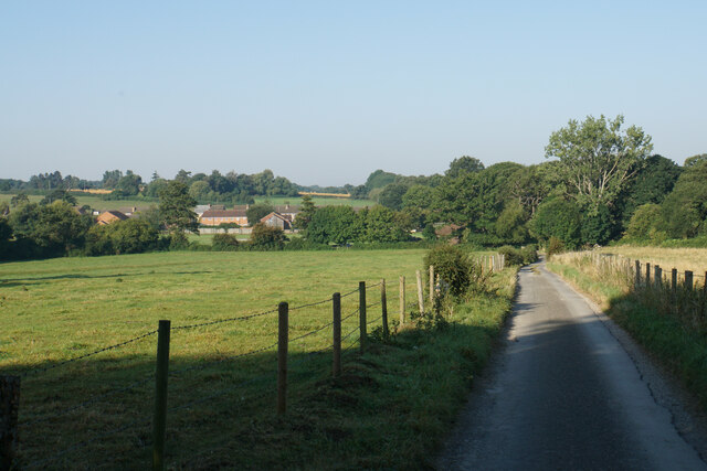
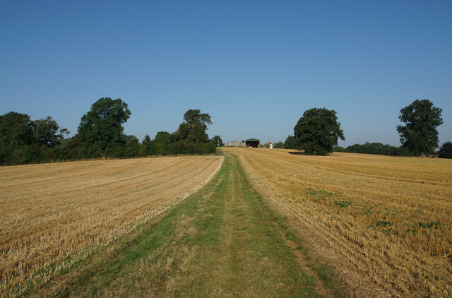
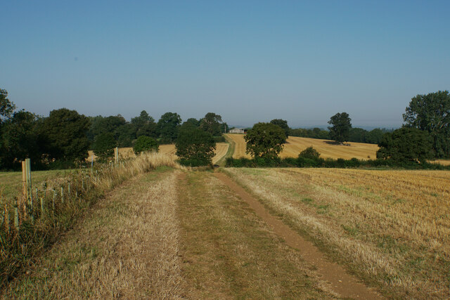
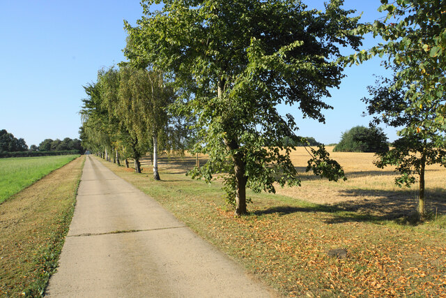
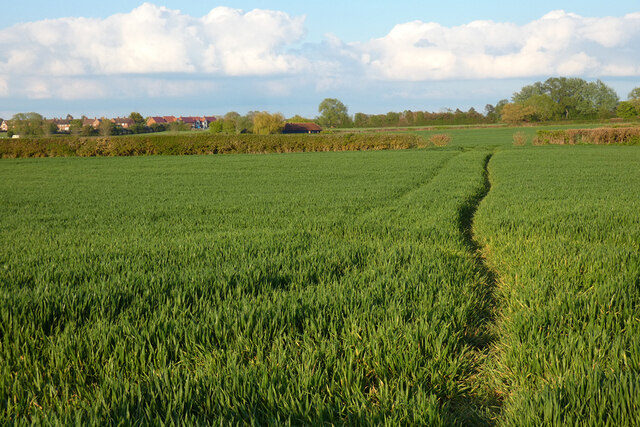
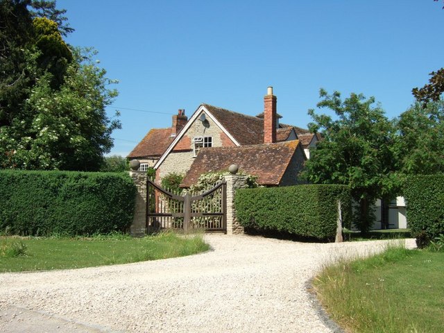
Colesheath Copse is a picturesque woodland located in Oxfordshire, England. Spanning over an area of approximately 50 acres, this enchanting copse is renowned for its natural beauty and diverse wildlife.
The woodland is primarily composed of a mix of deciduous and evergreen trees, including oak, beech, and pine. These majestic trees create a dense canopy, providing shade and shelter for the flourishing undergrowth. The forest floor is carpeted with a variety of wildflowers, ferns, and mosses, adding a splash of color to the serene surroundings.
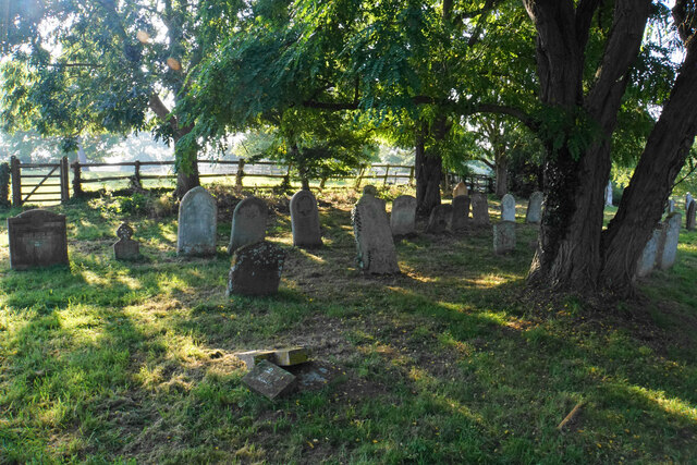
Colesheath Copse is home to a rich array of wildlife. Birdsong fills the air as various species, such as blackbirds, thrushes, and woodpeckers, make their nests among the branches. Squirrels can also be seen scampering through the trees, while badgers, foxes, and deer roam the forest floor.
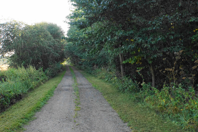
The copse offers several walking trails, allowing visitors to explore its natural wonders. These paths wind through the woodland, offering glimpses of small streams and ponds that are home to frogs, newts, and dragonflies. The tranquil atmosphere and secluded setting make Colesheath Copse a popular destination for nature enthusiasts, hikers, and photographers.
Managed by a local conservation group, the copse is carefully maintained to preserve its biodiversity and protect its natural habitat. This ensures that future generations can continue to enjoy the beauty and tranquility of Colesheath Copse for years to come.
If you have any feedback on the listing, please let us know in the comments section below.
Colesheath Copse Images
Images are sourced within 2km of 51.742781/-1.0317375 or Grid Reference SP6605. Thanks to Geograph Open Source API. All images are credited.


Colesheath Copse is located at Grid Ref: SP6605 (Lat: 51.742781, Lng: -1.0317375)
Administrative County: Oxfordshire
District: South Oxfordshire
Police Authority: Thames Valley
What 3 Words
///classmate.zebra.placed. Near Thame, Oxfordshire
Nearby Locations
Related Wikis

Rycote
Rycote is a hamlet 2.5 miles (4.0 km) southwest of Thame in Oxfordshire. The Oxfordshire Way long-distance path passes through. == Saint Michael's chapel... ==

Rycote House
Rycote House (also Rycote Manor) the manor of Rycote, Oxfordshire, England, was a Tudor (and later Georgian) country house. First built in the early 16th...

Albury, Oxfordshire
Albury is a village in the civil parish of Tiddington-with-Albury, about 5 miles (8 km) west of Thame in Oxfordshire. == Manor == Its toponym is derived...
Shabbington
Shabbington is a village and civil parish in west Buckinghamshire, England, about 3 miles (5 km) west of Thame in neighbouring Oxfordshire, and 7 miles...

Tiddington-with-Albury
Tiddington-with-Albury is a civil parish in South Oxfordshire. It includes the village of Albury (Ordnance Survey grid reference SP655051), the larger...
Tiddington, Oxfordshire
Tiddington is a village in the civil parish of Tiddington-with-Albury, in the South Oxfordshire district, in Oxfordshire, England. It is about 3+1⁄2 miles...
Draycot, Oxfordshire
Draycot is a hamlet on the River Thame, in the civil parish of Tiddington-with-Albury, in the South Oxfordshire district, in the county of Oxfordshire...
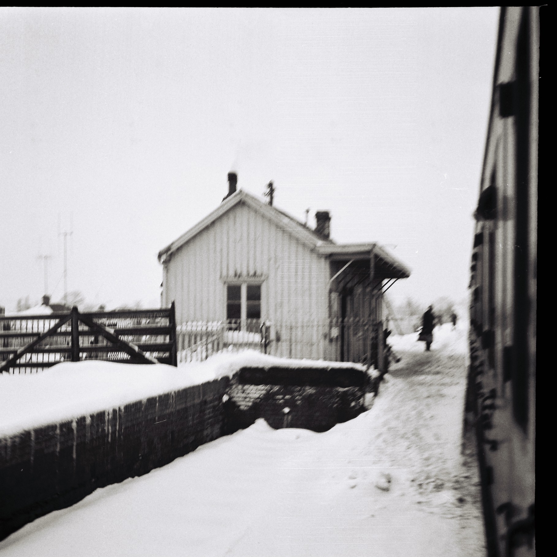
Tiddington railway station
Tiddington railway station was on the Wycombe Railway and served the village of Tiddington, Oxfordshire. On 24 October 1864 the Wycombe Railway opened...
Nearby Amenities
Located within 500m of 51.742781,-1.0317375Have you been to Colesheath Copse?
Leave your review of Colesheath Copse below (or comments, questions and feedback).