Beard's Belt
Wood, Forest in Nottinghamshire Bassetlaw
England
Beard's Belt
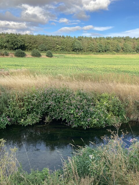
Beard's Belt is a forested area located in the county of Nottinghamshire, England. Covering an extensive area, the forest is situated in the heart of Sherwood Forest, renowned for its connections to the legendary outlaw, Robin Hood.
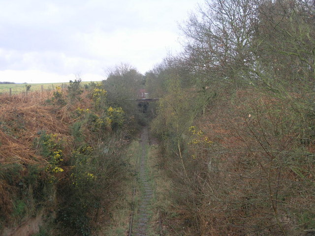
The forest is characterized by its dense woodland, comprised primarily of oak, birch, and pine trees. These towering trees create a lush and vibrant environment, providing a habitat for a diverse range of flora and fauna. The forest floor is carpeted with a variety of wildflowers, ferns, and mosses, adding to its natural beauty.
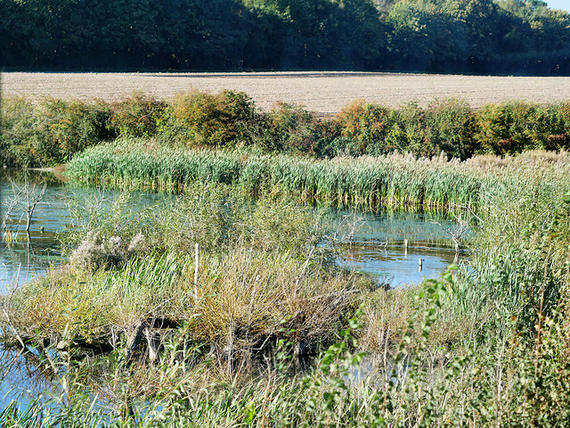
Beard's Belt is intersected by several walking trails, allowing visitors to explore the forest at their own pace. The trails wind through the woodland, offering glimpses of ancient trees and tranquil streams. Along the way, hikers may encounter a range of wildlife, including deer, rabbits, and a multitude of bird species.
The forest is also home to several historic landmarks. The remnants of an ancient abbey, once inhabited by monks, can be found within the forest's boundaries. Additionally, there are several archaeological sites that offer insight into the region's rich history.
Beard's Belt is a popular destination for nature lovers, hikers, and history enthusiasts alike. With its picturesque landscapes, diverse wildlife, and historical significance, it provides a serene and captivating escape from the hustle and bustle of everyday life.
If you have any feedback on the listing, please let us know in the comments section below.
Beard's Belt Images
Images are sourced within 2km of 53.236671/-1.0005269 or Grid Reference SK6671. Thanks to Geograph Open Source API. All images are credited.


Beard's Belt is located at Grid Ref: SK6671 (Lat: 53.236671, Lng: -1.0005269)
Administrative County: Nottinghamshire
District: Bassetlaw
Police Authority: Nottinghamshire
What 3 Words
///lighters.pocket.outlines. Near New Ollerton, Nottinghamshire
Nearby Locations
Related Wikis

Walesby, Nottinghamshire
Walesby is a village and civil parish in Nottinghamshire, England. At the time of the 2001 census it had a population of 1,255 people, increasing slightly...

Haughton, Nottinghamshire
Haughton is a hamlet in the English county of Nottinghamshire. Haughton lies on the south bank of the River Maun about one mile south west from Bothamsall...
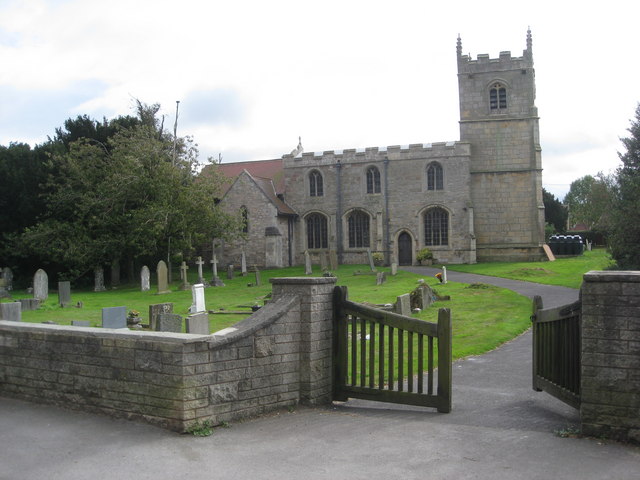
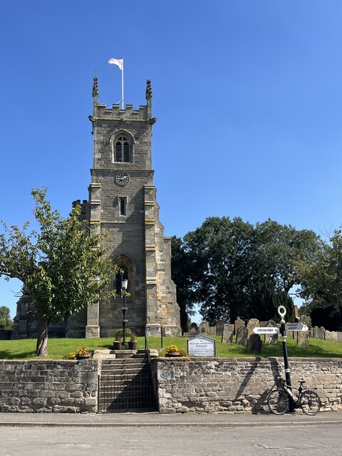
St Edmund's Church, Walesby
St Edmund's Church, Walesby is a Grade II* listed parish church in the Church of England in Walesby, Nottinghamshire. == History == The church was built...
Perlethorpe
Perlethorpe is a small village and former civil parish, now in the parish of Perlethorpe cum Budby, in the Newark and Sherwood district, in the county...

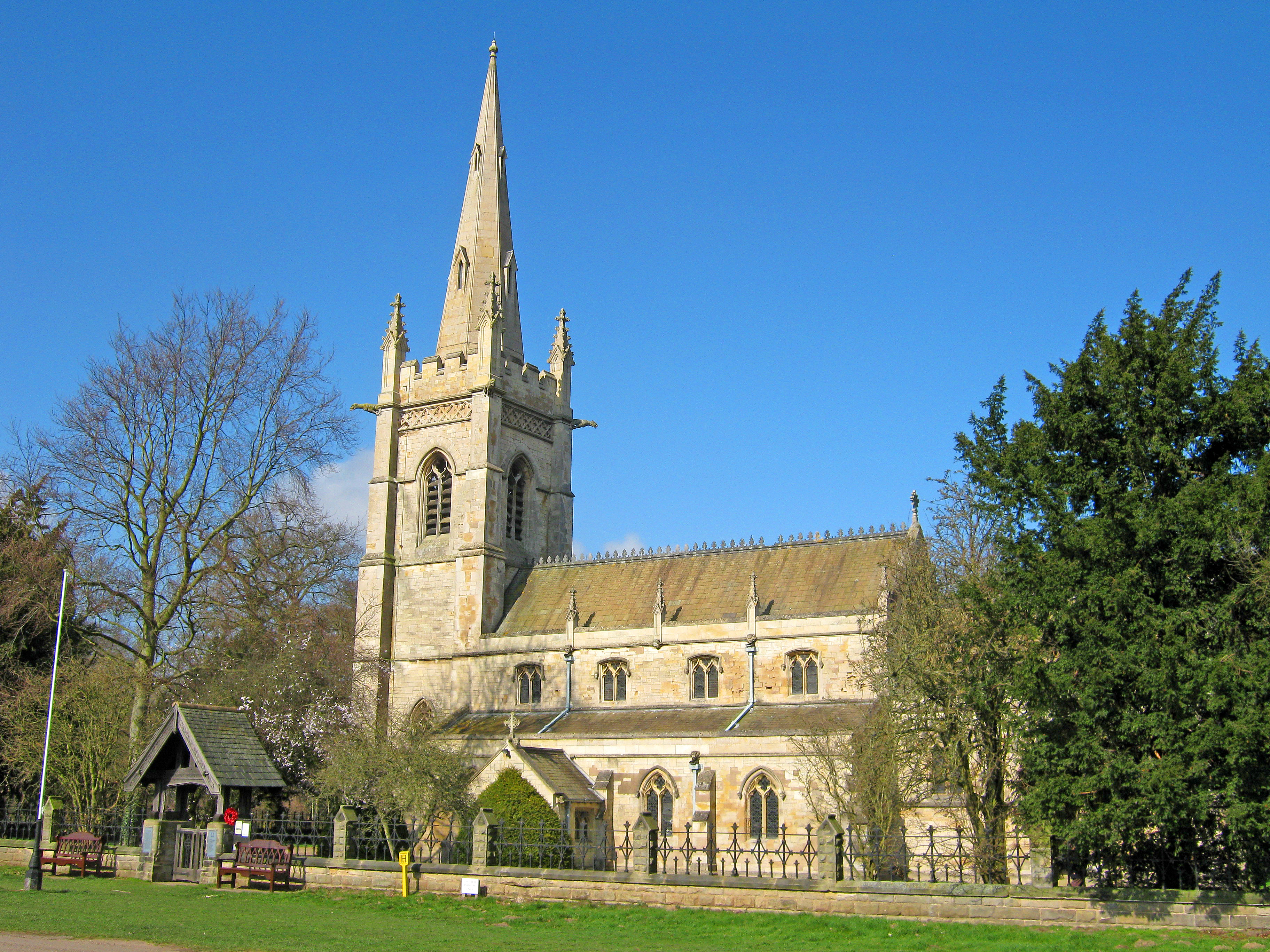
Our Lady and St Peter's Church, Bothamsall
Our Lady and St Peter's Church, Bothamsall is a Grade II listed parish church in the Church of England in Bothamsall. The church is part of the Lound Hall...
Haughton Hall, Nottinghamshire
Haughton Hall was an English country house near Haughton, Nottinghamshire. == History == Houghton Hall was built by William Holles and his son William...

Boughton Pumping Station
Boughton Pumping Station was a water pumping station near New Ollerton in Nottinghamshire, operating from 1905. After closure it became a commercial hospitality...

Kirton, Nottinghamshire
Kirton is a village in Nottinghamshire, England. It is located 3 miles (4.8 km) east of Ollerton. According to the United Kingdom Census 2001 it had a...
Nearby Amenities
Located within 500m of 53.236671,-1.0005269Have you been to Beard's Belt?
Leave your review of Beard's Belt below (or comments, questions and feedback).