Hovena Copse

Wood, Forest in Hampshire East Hampshire

England

Hovena Copse

Lasham Airfield Between Basingstoke and Alton. Owned by, and the home of, the Lasham Gliding Society, one of the largest gliding clubs in the world. ATC Lasham Ltd also has an airliner maintenance facility there.  <span class="nowrap"><a title="https://en.wikipedia.org/wiki/Lasham_Airfield" rel="nofollow ugc noopener" href="https://en.wikipedia.org/wiki/Lasham_Airfield">Link</a><img style="margin-left:2px;" alt="External link" title="External link - shift click to open in new window" src="https://s1.geograph.org.uk/img/external.png" width="10" height="10"/></span>
Lasham Airfield Credit: M J Richardson

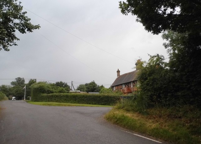
Hovena Copse is a picturesque woodland located in Hampshire, England. Covering an area of approximately 20 acres, it is a haven for nature enthusiasts and a popular destination for outdoor activities. The copse is situated near the village of Hovena, surrounded by rolling hills and scenic countryside.

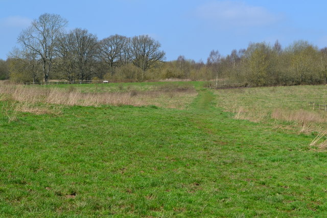
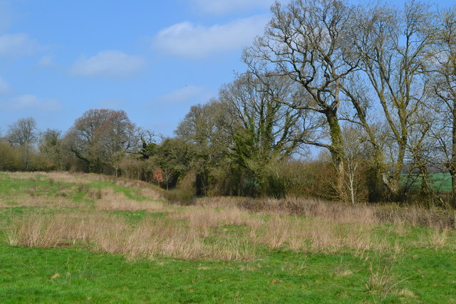
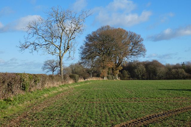
The woodland is predominantly composed of a variety of broadleaf trees, including oak, beech, and ash, creating a diverse and vibrant ecosystem. The dense canopy provides shelter for a wide range of wildlife, such as birds, squirrels, and deer. The forest floor is adorned with an array of wildflowers, ferns, and moss, adding to its natural beauty.

Visitors to Hovena Copse can enjoy an extensive network of well-maintained footpaths, allowing them to explore the woodland at their leisure. There are also designated picnic areas, where visitors can relax and enjoy the tranquility of the surroundings. The copse is especially popular during the spring and summer months when the trees are in full bloom, offering a breathtaking display of colors.

Hovena Copse is not only a place of natural beauty but also holds historical significance. It is believed to have been used as a hunting ground during medieval times and remnants of old hunting lodges can still be found within the woodland. The copse has also been the subject of various local folklore and legends, adding an air of mystery and intrigue to its allure.

Overall, Hovena Copse is a cherished natural gem in Hampshire, offering visitors a chance to immerse themselves in the wonders of the countryside, discover its rich wildlife, and connect with the region's history and folklore.

If you have any feedback on the listing, please let us know in the comments section below.
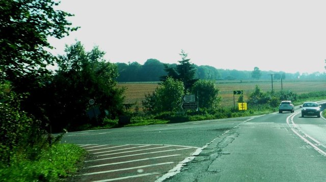
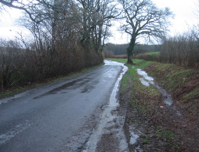
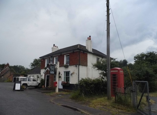
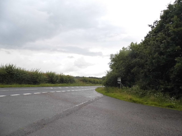
Hovena Copse Images

Images are sourced within 2km of 51.185289/-1.0470677 or Grid Reference SU6643. Thanks to Geograph Open Source API. All images are credited.

Lasham Airfield Between Basingstoke and Alton. Owned by, and the home of, the Lasham Gliding Society, one of the largest gliding clubs in the world. ATC Lasham Ltd also has an airliner maintenance facility there.  <span class="nowrap"><a title="https://en.wikipedia.org/wiki/Lasham_Airfield" rel="nofollow ugc noopener" href="https://en.wikipedia.org/wiki/Lasham_Airfield">Link</a><img style="margin-left:2px;" alt="External link" title="External link - shift click to open in new window" src="https://s1.geograph.org.uk/img/external.png" width="10" height="10"/></span>
Lasham Airfield
Between Basingstoke and Alton. Owned by, and the home of, the Lasham Gliding Society, one of the largest gliding clubs in the world. ATC Lasham Ltd also has an airliner maintenance facility there. LinkExternal link
Junction with The Avenue on A339 Road here leads to airfield and Lasham Gliding Centre
Junction with The Avenue on A339
Road here leads to airfield and Lasham Gliding Centre
Hill and bends on A339 Near Lasham
Hill and bends on A339
Near Lasham
A very damp Spain Lane
The Fur and Feathers, Southrope
Back Lane at the junction of the A339
Back Lane, Southrope
Road to Lasham Both ways to Lasham have 'No motor vehicles except for access' signs, probably to inhibit through traffic to Lasham airfield.
Road to Lasham
Both ways to Lasham have 'No motor vehicles except for access' signs, probably to inhibit through traffic to Lasham airfield.
Path across field at Home Farm
Field edge at Home Farm
The Royal Oak at Lasham
Pond and house at Lasham
St Mary's Church, Lasham
Old Milestone in Lasham, Herriard parish Metal plate attached to stone post by the UC road, in parish of Herriard (Basingstoke and Deane District), Lasham, on grass verge at road junction, on West side of road. Candover block, erected by the Basingstoke, Preston Candover & Alton turnpike trust in the 19th century. 

Inscription reads:-
: B'STOKE / 7 : : ALTON / 4 :

Grade II listed.
List Entry Number: 1391750 <span class="nowrap"><a title="https://historicengland.org.uk/listing/the-list/list-entry/1391750" rel="nofollow ugc noopener" href="https://historicengland.org.uk/listing/the-list/list-entry/1391750">Link</a><img style="margin-left:2px;" alt="External link" title="External link - shift click to open in new window" src="https://s1.geograph.org.uk/img/external.png" width="10" height="10"/></span>

Milestone Society National ID: HA_BAAL07
Old Milestone in Lasham, Herriard parish
Metal plate attached to stone post by the UC road, in parish of Herriard (Basingstoke and Deane District), Lasham, on grass verge at road junction, on West side of road. Candover block, erected by the Basingstoke, Preston Candover & Alton turnpike trust in the 19th century. Inscription reads:- : B'STOKE / 7 : : ALTON / 4 : Grade II listed. List Entry Number: 1391750 LinkExternal link Milestone Society National ID: HA_BAAL07
Farmland, Herriard Arable land to the north of Bagmore Lane.
Farmland, Herriard
Arable land to the north of Bagmore Lane.
Farmland, Herriard A footpath crossing arable fields between Bagmore Lane and the A339.  The trees on the left are on the course of the old railway just south of the former station.
Farmland, Herriard
A footpath crossing arable fields between Bagmore Lane and the A339. The trees on the left are on the course of the old railway just south of the former station.
Farmland, Herriard A field boundary to the east of Hyde Farm with an ash and oaks.
Farmland, Herriard
A field boundary to the east of Hyde Farm with an ash and oaks.
Avenue Road, Herriard A rather busy road passing to the north of Lasham Airfield.
Avenue Road, Herriard
A rather busy road passing to the north of Lasham Airfield.
Show me another place!

Hovena Copse is located at Grid Ref: SU6643 (Lat: 51.185289, Lng: -1.0470677)

Administrative County: Hampshire

District: East Hampshire

Police Authority: Hampshire

What 3 Words

///maple.joyously.emotional. Near Alton, Hampshire

Related Wikis

Bagmore

Bagmore is a village in Hampshire, England.

Lasham Airfield

Lasham Airfield (ICAO: EGHL) is an aerodrome 3.6 miles (5.8 km) north-west of Alton in Hampshire, England, in the village of Lasham. Th airfield was built...

Lasham

Lasham is a village and civil parish in the East Hampshire district of Hampshire, England. It is 3.4 miles (5.5 km) northwest of Alton and 1.2 miles (1...

Burkham

Burkham is a hamlet in the large civil parish of Bentworth in Hampshire, England including a large country house, Burkham House. The nearest town is Alton...

Bentworth and Lasham railway station

Bentworth and Lasham railway station in Hampshire, England was on the Basingstoke and Alton Light Railway between the villages of Bentworth to the south...

Herriard railway station

Herriard railway station was a railway station in the village of Herriard, Hampshire, UK. The station was a stop on the Basingstoke and Alton Light Railway...

Southrope

Southrope is a hamlet in the civil parish of Herriard, Hampshire. It has one pub, named the Fur and Feathers. The hamlet was once considered a part of...

Tickley

Tickley is a small hamlet in the large civil parish of Bentworth in Hampshire, England. It is considered a part of neighbouring Burkham which is situated...

Nearby Amenities

Located within 500m of 51.185289,-1.0470677
Ladydays Dell
Place: locality
Source: OS_OpenData_StreetView
Lat/Long: 51.1878471/-1.0511611
New Inn Brow
Place: locality
Source: OS_OpenData_StreetView
Lat/Long: 51.1888026/-1.0472817
Power: pole
Lat/Long: 51.1890775/-1.0459086
Power: pole
Lat/Long: 51.1883378/-1.0475501
Power: pole
Lat/Long: 51.1875838/-1.0492413
Power: pole
Lat/Long: 51.186465/-1.0499775
Power: pole
Lat/Long: 51.1853151/-1.0507608
Power: pole
Lat/Long: 51.1842004/-1.0515279
Power: pole
Lat/Long: 51.1833648/-1.0521019
Power: pole
Lat/Long: 51.1891203/-1.0492668
Power: pole
Lat/Long: 51.1885025/-1.0512355
The data included in this document is from www.openstreetmap.org. The data is made available under ODbL.

Have you been to Hovena Copse?

Leave your review of Hovena Copse below (or comments, questions and feedback).