Aberfeldy
Settlement in Perthshire
Scotland
Aberfeldy
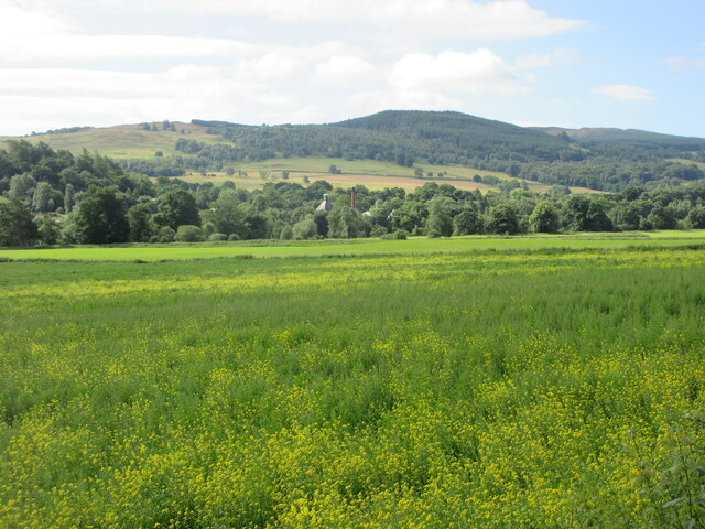
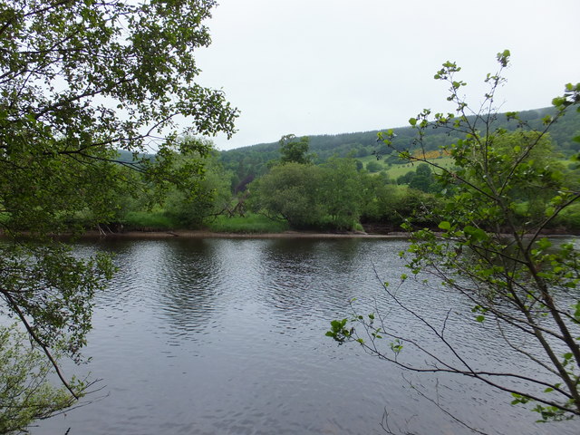
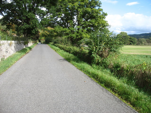
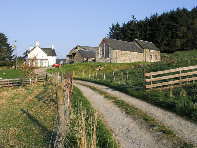
Aberfeldy is a small town located in the county of Perthshire, Scotland. Situated on the banks of the River Tay, it is surrounded by picturesque landscapes and offers a charming setting for residents and visitors alike. The town is approximately 18 miles northwest of Perth and has a population of around 2,000 people.
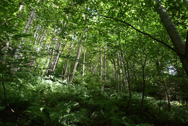
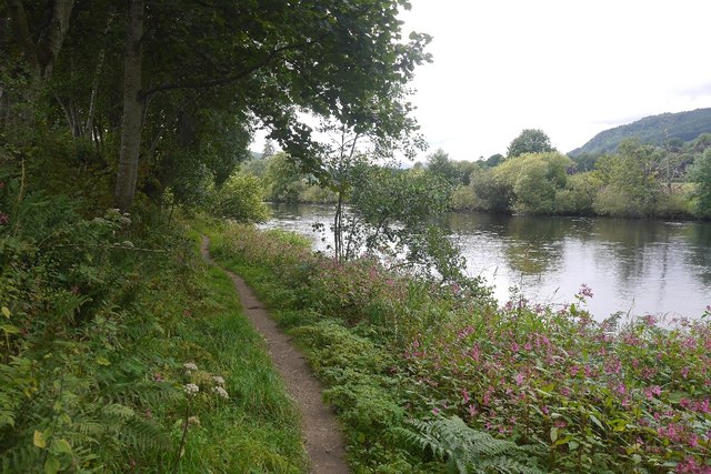
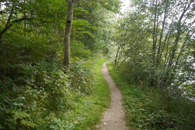
Aberfeldy is renowned for its natural beauty and outdoor recreational opportunities. The nearby Cairngorms National Park provides a stunning backdrop and attracts nature enthusiasts from all over the world. Visitors can enjoy activities such as hiking, cycling, and fishing in the surrounding hills and lochs.
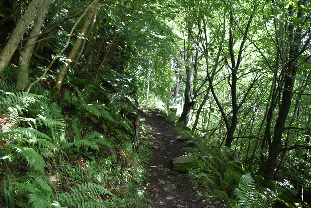
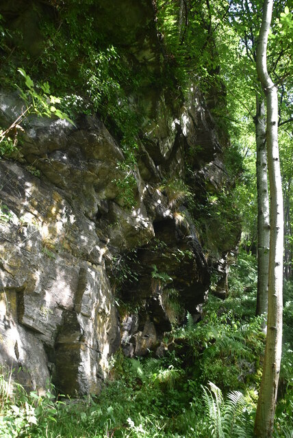
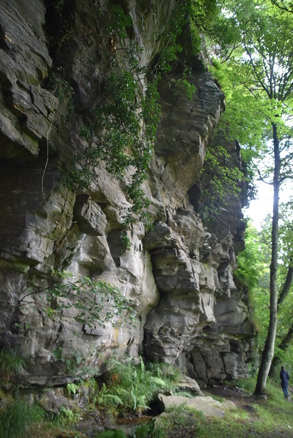
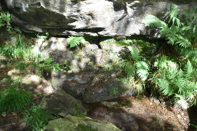
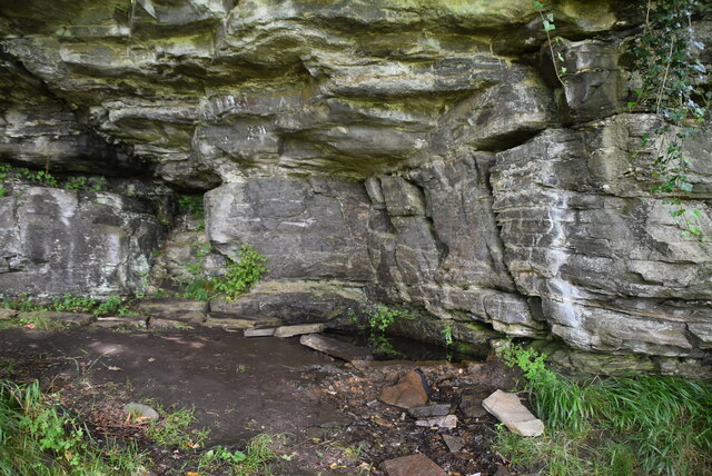
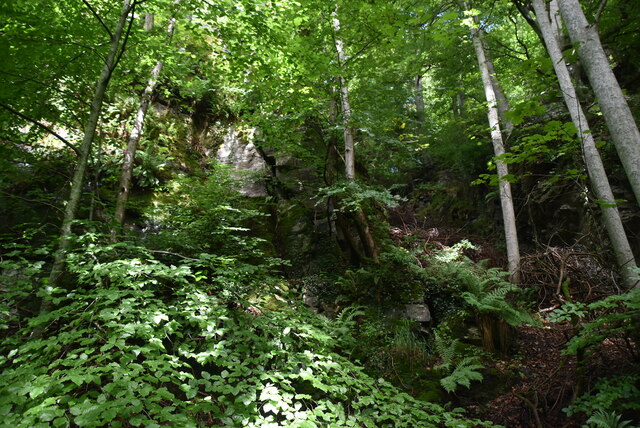
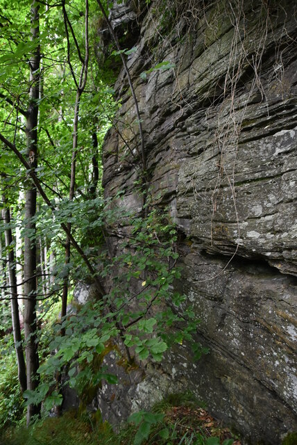
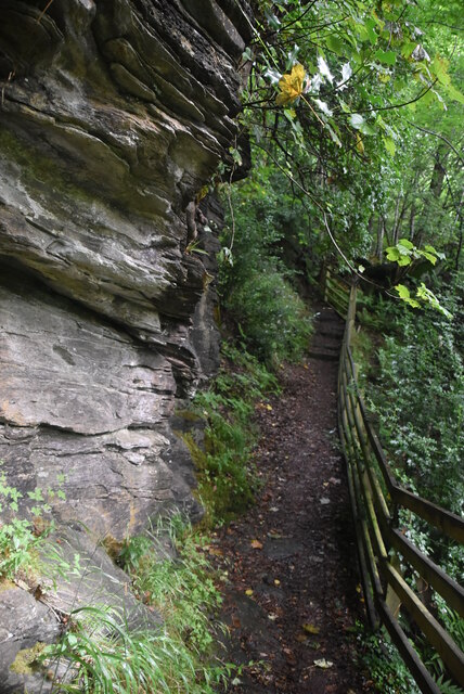
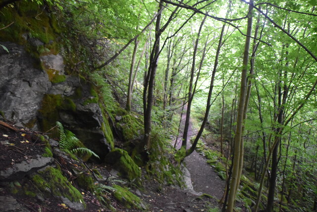
The town itself offers a range of amenities and attractions. The historic Aberfeldy Distillery, founded in 1896, is a popular destination for whiskey enthusiasts who can take guided tours to learn about the distilling process and sample a variety of Scotch whiskies. The Birks of Aberfeldy, a wooded gorge made famous by the Scottish poet Robert Burns, offers a scenic walking trail with breathtaking waterfalls and viewpoints.
Aberfeldy has a thriving arts and culture scene, with the Birks Cinema showcasing a variety of films and hosting live performances and events. The town also hosts the annual Aberfeldy Festival, a celebration of music, literature, and arts.
With its stunning landscapes, outdoor activities, historic attractions, and cultural events, Aberfeldy is a must-visit destination for those seeking a taste of rural Scotland's beauty and charm.
If you have any feedback on the listing, please let us know in the comments section below.
Aberfeldy Images
Images are sourced within 2km of 56.619075/-3.868471 or Grid Reference NN8549. Thanks to Geograph Open Source API. All images are credited.
Aberfeldy is located at Grid Ref: NN8549 (Lat: 56.619075, Lng: -3.868471)
Unitary Authority: Perth and Kinross
Police Authority: Tayside
What 3 Words
///internet.clipboard.shifting. Near Aberfeldy, Perth & Kinross
Nearby Locations
Related Wikis

Aberfeldy Watermill
Aberfeldy Watermill is located in the Scottish town of Aberfeldy, Perth and Kinross. Dating to 1826, it is now a Category A listed building. Its water...
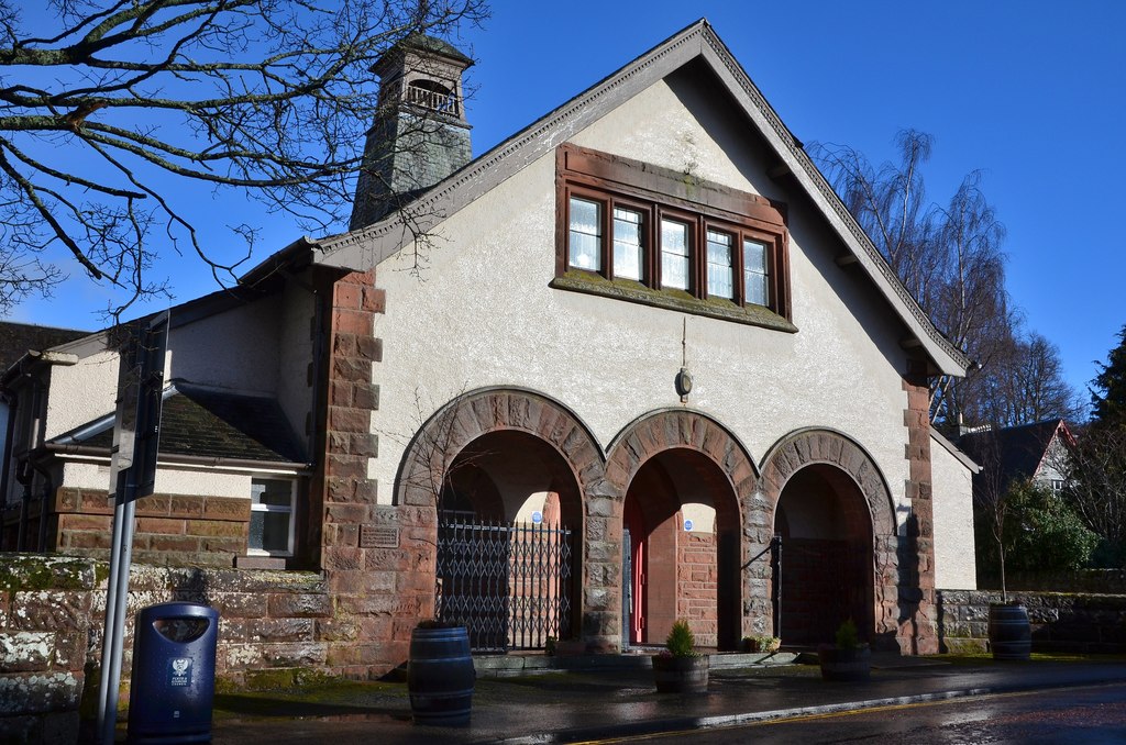
Aberfeldy Town Hall
Aberfeldy Town Hall is a municipal building on Crieff Road in Aberfeldy, Perth and Kinross, Scotland. The structure, which is used as an events venue,...

Aberfeldy, Perth and Kinross
Aberfeldy (Scottish Gaelic: Obar Pheallaidh) is a burgh in Perth and Kinross, Scotland, on the River Tay. A small market town, Aberfeldy is located in...

Breadalbane Academy
Breadalbane Academy is a 2–18 mixed, state all-through school in Aberfeldy, Perth and Kinross, Scotland. It has a Gaelic Medium provision in the primary...

Wade's Bridge
Wade's Bridge (originally known as Tay Bridge) is five-arch bridge crossing the River Tay at Aberfeldy, Perth and Kinross, Scotland. A Category A listed...
Aberfeldy railway station
Aberfeldy railway station served the village of Aberfeldy in Scotland. == History == The station was opened on 3 July 1865 by the Inverness and Perth Junction...
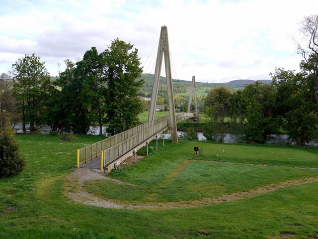
Aberfeldy Footbridge
Aberfeldy Footbridge is a pedestrian bridge crossing the River Tay in Aberfeldy, Perth and Kinross. Built in 1992 and is the world’s first all-plastic...
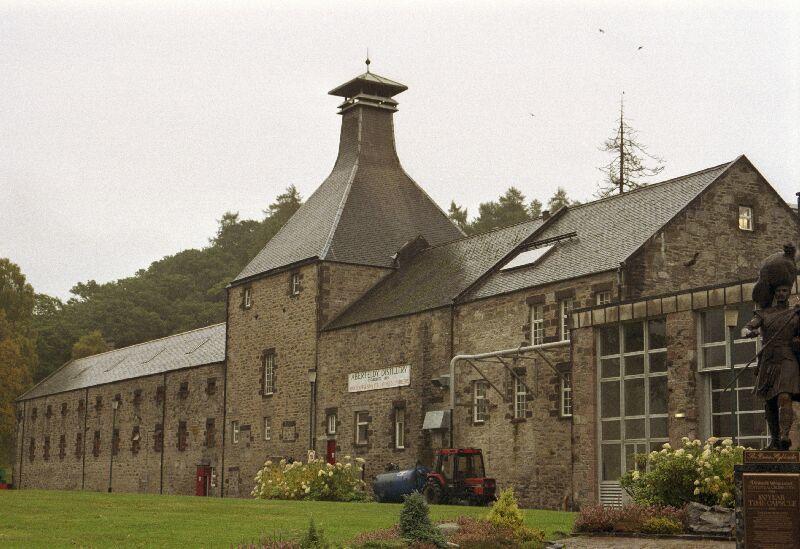
Aberfeldy distillery
Aberfeldy distillery is a single malt Scotch whisky distillery in Scotland. == History == Aberfeldy Distillery was founded by the John Dewar & Sons, Ltd...
Nearby Amenities
Located within 500m of 56.619075,-3.868471Have you been to Aberfeldy?
Leave your review of Aberfeldy below (or comments, questions and feedback).