Gosling Carr
Wood, Forest in Nottinghamshire Bassetlaw
England
Gosling Carr

Gosling Carr is a small village located in the county of Nottinghamshire, England. Situated in the heart of Sherwood Forest, it is known for its picturesque woodland scenery and natural beauty. The village is part of the wider Sherwood District, which includes several other villages and towns.
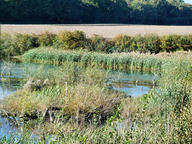
One of the defining features of Gosling Carr is its abundance of trees and forests. The village is surrounded by dense woodland, offering residents and visitors the opportunity to explore the great outdoors. The forest provides a habitat for various species of wildlife, making it a popular destination for nature enthusiasts.
Despite its small size, Gosling Carr has a close-knit community that takes pride in its heritage and natural surroundings. The village has a charming rural atmosphere, with traditional cottages and historic buildings scattered throughout. The local pub, The Woodland Inn, serves as a social hub for residents and visitors alike, offering a warm and friendly atmosphere.
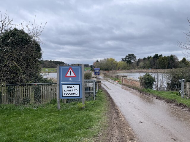
In terms of amenities, Gosling Carr offers limited facilities within the village itself. However, nearby towns such as Mansfield and Newark-on-Trent provide a range of services including shops, schools, and healthcare facilities. The village is well-connected to these towns via road networks, making it easily accessible for residents and commuters.
Overall, Gosling Carr offers a tranquil and idyllic setting for those seeking a peaceful lifestyle surrounded by nature. Its location within Sherwood Forest makes it a desirable destination for outdoor enthusiasts and nature lovers, while its close-knit community fosters a sense of belonging and community spirit.
If you have any feedback on the listing, please let us know in the comments section below.
Gosling Carr Images
Images are sourced within 2km of 53.242771/-1.0075328 or Grid Reference SK6672. Thanks to Geograph Open Source API. All images are credited.


Gosling Carr is located at Grid Ref: SK6672 (Lat: 53.242771, Lng: -1.0075328)
Administrative County: Nottinghamshire
District: Bassetlaw
Police Authority: Nottinghamshire
What 3 Words
///dockers.redeemed.mammals. Near Hardwick Village, Nottinghamshire
Nearby Locations
Related Wikis

Haughton, Nottinghamshire
Haughton is a hamlet in the English county of Nottinghamshire. Haughton lies on the south bank of the River Maun about one mile south west from Bothamsall...

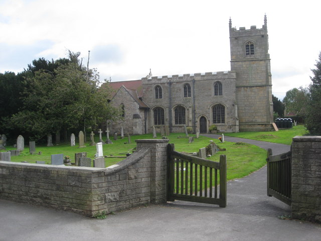
Our Lady and St Peter's Church, Bothamsall
Our Lady and St Peter's Church, Bothamsall is a Grade II listed parish church in the Church of England in Bothamsall. The church is part of the Lound Hall...
Perlethorpe
Perlethorpe is a small village and former civil parish, now in the parish of Perlethorpe cum Budby, in the Newark and Sherwood district, in the county...
Haughton Hall, Nottinghamshire
Haughton Hall was an English country house near Haughton, Nottinghamshire. == History == Houghton Hall was built by William Holles and his son William...

Walesby, Nottinghamshire
Walesby is a village and civil parish in Nottinghamshire, England. At the time of the 2001 census it had a population of 1,255 people, increasing slightly...
St Edmund's Church, Walesby
St Edmund's Church, Walesby is a Grade II* listed parish church in the Church of England in Walesby, Nottinghamshire. == History == The church was built...
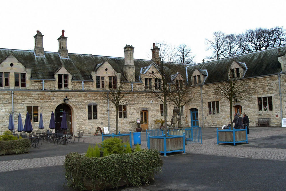
The Royal Lancers and Nottinghamshire Yeomanry Museum
The Royal Lancers & Nottinghamshire Yeomanry Museum traces the history of three old and famous cavalry regiments, the Royal Lancers, the Sherwood Rangers...
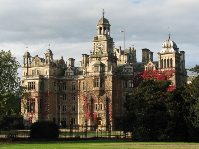
Thoresby Hall
Thoresby Hall is a grade I listed 19th-century country house in Budby, Nottinghamshire, some 2 miles (4 km) north of Ollerton. It is one of four neighbouring...
Nearby Amenities
Located within 500m of 53.242771,-1.0075328Have you been to Gosling Carr?
Leave your review of Gosling Carr below (or comments, questions and feedback).