Heath Plantation
Wood, Forest in Oxfordshire South Oxfordshire
England
Heath Plantation
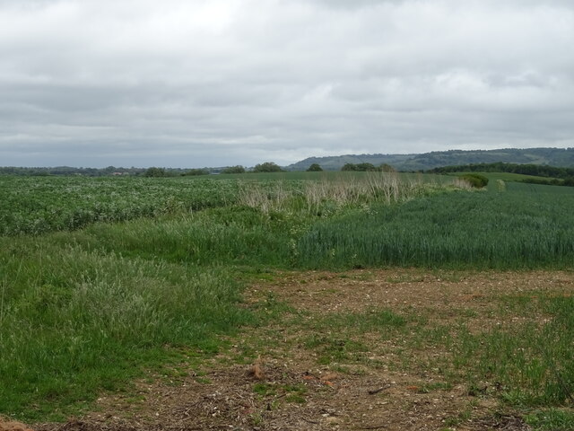
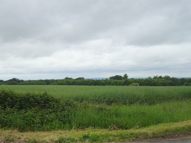
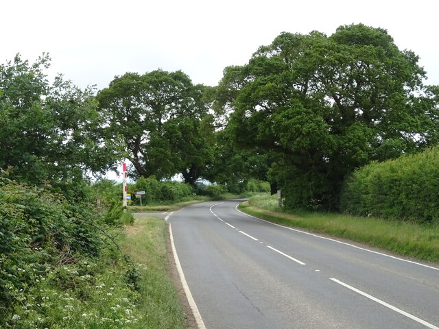
Heath Plantation is a picturesque woodland located in the county of Oxfordshire, England. Nestled in the heart of the region, it covers an area of approximately 50 acres, offering a tranquil retreat for nature lovers and outdoor enthusiasts.
The plantation is predominantly made up of a diverse mix of deciduous and coniferous trees, creating a rich and varied landscape. Oak, beech, and birch trees dominate the woodland, providing a stunning display of colors throughout the seasons. The forest floor is covered in a thick carpet of moss and ferns, adding to the enchanting atmosphere.
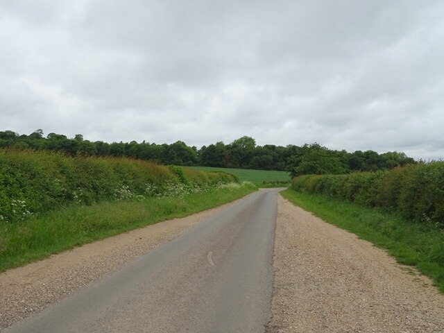
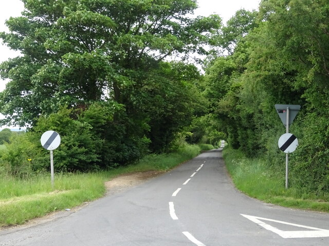
A network of well-maintained footpaths winds its way through the plantation, allowing visitors to explore the area at their own pace. These paths lead to hidden clearings and secluded spots, perfect for picnics or simply immersing oneself in the natural surroundings. The plantation is also home to a plethora of wildlife, including deer, squirrels, and a wide variety of bird species, making it an ideal location for birdwatching and wildlife photography.
Heath Plantation is easily accessible, with a car park located nearby, and is open to the public year-round. It offers a peaceful escape from the hustle and bustle of city life, allowing visitors to reconnect with nature and enjoy the serenity of the woodland. Whether it's a leisurely stroll, a family outing, or simply a moment of tranquility, Heath Plantation is a must-visit destination for nature enthusiasts in Oxfordshire.
If you have any feedback on the listing, please let us know in the comments section below.
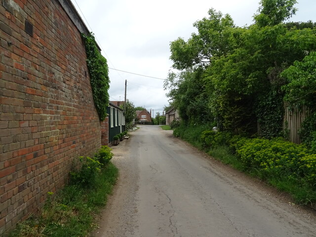
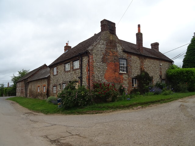
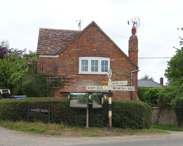
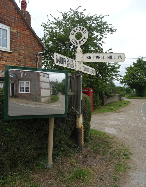
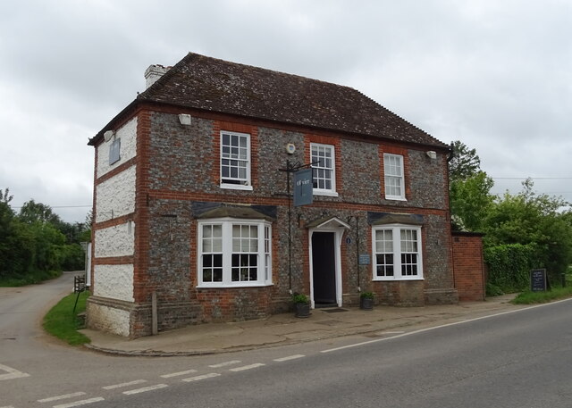
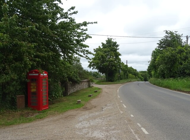
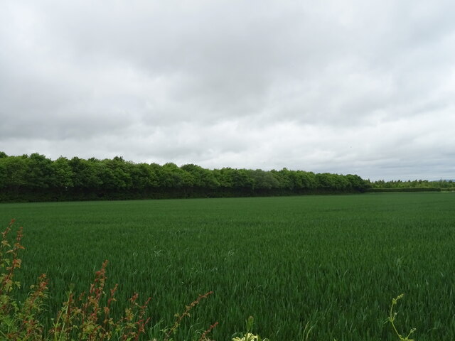
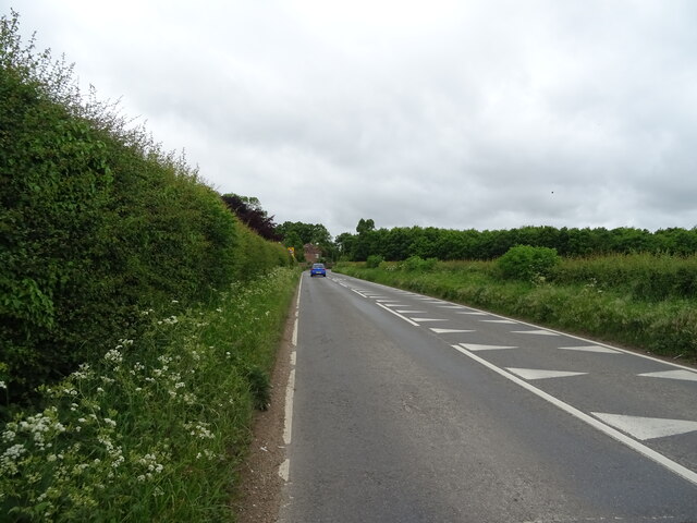
Heath Plantation Images
Images are sourced within 2km of 51.634829/-1.0492959 or Grid Reference SU6593. Thanks to Geograph Open Source API. All images are credited.

Heath Plantation is located at Grid Ref: SU6593 (Lat: 51.634829, Lng: -1.0492959)
Administrative County: Oxfordshire
District: South Oxfordshire
Police Authority: Thames Valley
What 3 Words
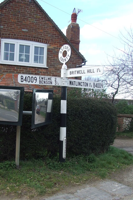
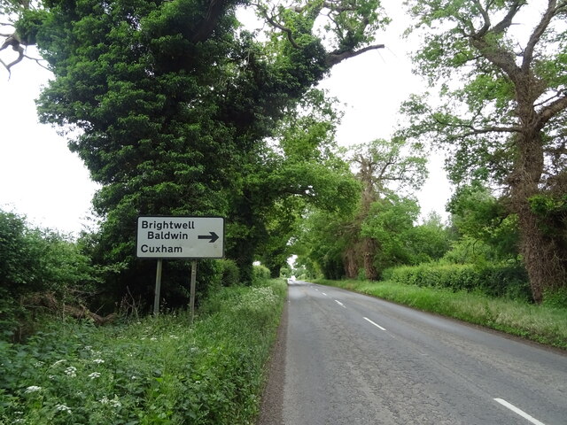
///magazine.outlined.slyly. Near Watlington, Oxfordshire
Nearby Locations
Related Wikis

Britwell Salome
Britwell Salome is a village and civil parish in South Oxfordshire, England centred 4+1⁄2 miles (7 km) northeast of Wallingford. The 2011 Census recorded...

Henley (UK Parliament constituency)
Henley is a constituency in Oxfordshire represented in the House of Commons of the UK Parliament since 2008 by John Howell, a Member of Parliament from...

South Oxfordshire
South Oxfordshire is a local government district in the ceremonial county of Oxfordshire, England. Its council is temporarily based outside the district...

Brightwell Baldwin
Brightwell Baldwin is a village and civil parish in Oxfordshire, about 4+1⁄2 miles (7 km) northeast of Wallingford. It was historically in the Hundred...

Cuxham
Cuxham is a village and former civil parish, now in the parish of Cuxham with Easington, in the South Oxfordshire district, in the county of Oxfordshire...
Ewelme
Ewelme () is a village and civil parish in the Chiltern Hills in South Oxfordshire, 2.5 miles (4 km) north-east of the market town of Wallingford. The...
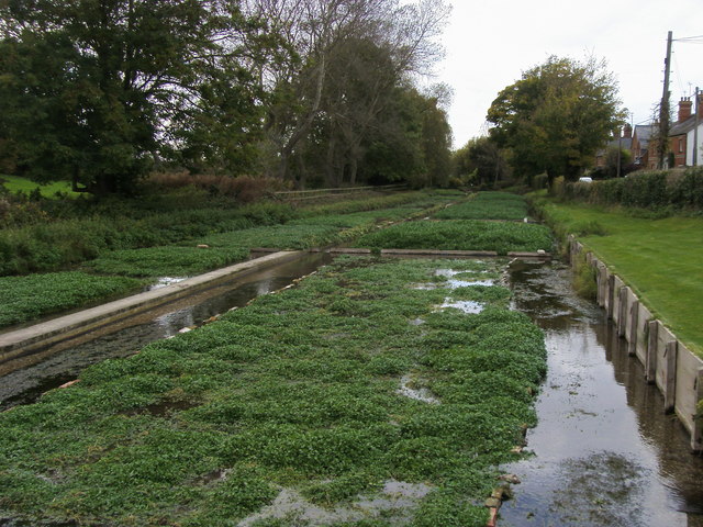
Ewelme Watercress Beds
Ewelme Watercress Beds is a 2.6-hectare (6.4-acre) Local Nature Reserve in Ewelme in Oxfordshire. It is owned and managed by the Chiltern Society.A stream...

Swyncombe Downs
Swyncombe Downs is a 47.1-hectare (116-acre) biological Site of Special Scientific Interest east of Wallingford in Oxfordshire.This is an area of chalk...
Related Videos

In the Footsteps of Katherine Howard and Henry the 8th (Ewelme)
This week I am in the beautiful village of Ewelme in Oxfordshire. The year was August 1540. The home of Mary Tudor the sister of ...

Drone flight near Ewelme
Very low quality footage of a drone flight in Ewelme. The last 20 seconds was when the drone lost signal and buggered off.
Nearby Amenities
Located within 500m of 51.634829,-1.0492959Have you been to Heath Plantation?
Leave your review of Heath Plantation below (or comments, questions and feedback).