Park Spinney

Wood, Forest in Northamptonshire

England

Park Spinney

Layby on the westbound A14 The A14 is a major road running 127 miles from Felixstowe to the Catthorpe Interchange, the junction of the M1 and M6 motorways near Rugby. The road connects East Anglia with the West Midlands and The North.
Wikipedia: <span class="nowrap"><a title="http://en.wikipedia.org/wiki/A14_road_(England)" rel="nofollow ugc noopener" href="http://en.wikipedia.org/wiki/A14_road_(England)">Link</a><img style="margin-left:2px;" alt="External link" title="External link - shift click to open in new window" src="https://s1.geograph.org.uk/img/external.png" width="10" height="10"/></span>
Layby on the westbound A14 Credit: Christopher Hilton

Park Spinney is a charming woodland located in Northamptonshire, England. Spread across an area of approximately 50 acres, it is a delightful retreat for nature enthusiasts and those seeking solace amidst the beauty of the outdoors. The woodland is characterized by its dense growth of trees, primarily consisting of broadleaf species such as oak, beech, and ash.

As visitors enter Park Spinney, they are greeted by a serene ambiance, with sunlight filtering through the canopy and casting dappled shadows on the forest floor. The woodland boasts a diverse range of flora and fauna, including native wildflowers, ferns, and mosses that carpet the forest floor. Birdsong fills the air as various species, such as woodpeckers and nuthatches, make their presence known.

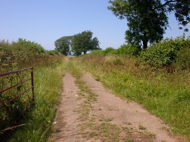
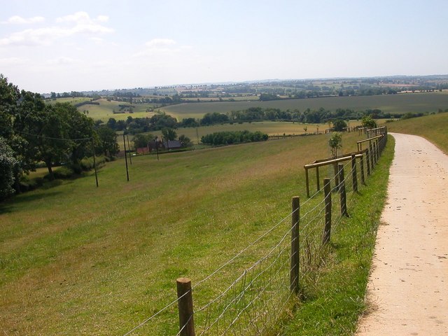
Walking trails meander through Park Spinney, offering visitors the opportunity to explore its natural wonders at their own pace. The paths are well-maintained and suitable for all ages and fitness levels. The woodland also features picnic areas, providing a perfect spot for families and friends to enjoy a leisurely outdoor meal surrounded by the tranquility of nature.

Park Spinney is not only a haven for wildlife and a place of natural beauty, but it also holds cultural significance. It has historical roots dating back several centuries and has been preserved and protected by local authorities to maintain its ecological and historical value.

In conclusion, Park Spinney is a captivating woodland in Northamptonshire, offering visitors a chance to immerse themselves in the splendor of nature. With its rich biodiversity, well-maintained trails, and peaceful ambiance, it provides a wonderful escape from the bustle of everyday life.

If you have any feedback on the listing, please let us know in the comments section below.

Park Spinney Images

Images are sourced within 2km of 52.37876/-1.0413956 or Grid Reference SP6576. Thanks to Geograph Open Source API. All images are credited.

Layby on the westbound A14 The A14 is a major road running 127 miles from Felixstowe to the Catthorpe Interchange, the junction of the M1 and M6 motorways near Rugby. The road connects East Anglia with the West Midlands and The North.
Wikipedia: <span class="nowrap"><a title="http://en.wikipedia.org/wiki/A14_road_(England)" rel="nofollow ugc noopener" href="http://en.wikipedia.org/wiki/A14_road_(England)">Link</a><img style="margin-left:2px;" alt="External link" title="External link - shift click to open in new window" src="https://s1.geograph.org.uk/img/external.png" width="10" height="10"/></span>
Layby on the westbound A14
The A14 is a major road running 127 miles from Felixstowe to the Catthorpe Interchange, the junction of the M1 and M6 motorways near Rugby. The road connects East Anglia with the West Midlands and The North. Wikipedia: LinkExternal link
A14 near junction 1, Welford The A14 is a major road running 127 miles from Felixstowe to the Catthorpe Interchange, the junction of the M1 and M6 motorways near Rugby. The road connects East Anglia with the West Midlands and The North.
Wikipedia: <span class="nowrap"><a title="http://en.wikipedia.org/wiki/A14_road_(England)" rel="nofollow ugc noopener" href="http://en.wikipedia.org/wiki/A14_road_(England)">Link</a><img style="margin-left:2px;" alt="External link" title="External link - shift click to open in new window" src="https://s1.geograph.org.uk/img/external.png" width="10" height="10"/></span>
A14 near junction 1, Welford
The A14 is a major road running 127 miles from Felixstowe to the Catthorpe Interchange, the junction of the M1 and M6 motorways near Rugby. The road connects East Anglia with the West Midlands and The North. Wikipedia: LinkExternal link
The Red Lion, Thornby
Welford Road, Thornby
Welford Road, Creaton
Welford Road, Thornby The Red Lion is on the right.
Welford Road, Thornby
The Red Lion is on the right.
Cottage on Welford Road, Thornby It's very wide but it doesn't go back very far.
Cottage on Welford Road, Thornby
It's very wide but it doesn't go back very far.
Traffic congestion on Church Street, Naseby There was heavy congestion between junctions 1 and 2 of the westbound A14, and drivers in the know had left the main road to dodge through Haselbech and Naseby.
Traffic congestion on Church Street, Naseby
There was heavy congestion between junctions 1 and 2 of the westbound A14, and drivers in the know had left the main road to dodge through Haselbech and Naseby.
Welford Road, Thornby
A14 westbound, just west of junction 1 The A14 is a major road which runs for 129 miles from the Port of Felixstowe to the Catthorpe Interchange, the junction of the M1 and M6 motorways near Rugby.

The route linking Rugby (and therefore the West Midlands and the north of England via the motorway network) to East Anglia and the ports of Felixstowe and Harwich is incredibly important and incredibly busy (Felixstowe is the UK's principal container port and the A14 is the road between Felixstowe and everywhere else) but it didn't exist in any coherent form until about 1992.

Prior to the current A14 the main route from Birmingham to the Haven ports followed the old A45 road via Coventry, Rugby, Northampton, St Neots, Cambridge and then through all the towns on the A14, from there to Ipswich where it ended on the A12 – not the fast route required for transporting goods across the country with the sudden rise in container shipping during the latter part of the twentieth century.

Most of the current A14 route is a collection of bits of dual carriageway acquired from other roads (most notably the A45) with occasional stretches of new road to bolt it all together. Because of its importance to the country’s economy, there are plans to upgrade it further.

Prior to its use for the current route the A14 designation had been used for a section of road between the A10 at Royston and the A1 at Alconbury following part of the route of the Roman road, Ermine Street, which is now mostly designated as the A1198. The only bit of the current A14 that follows that number's original route is the spur linking junction 23 to the A1.

<span class="nowrap"><a title="http://www.cbrd.co.uk/motorway/a14" rel="nofollow ugc noopener" href="http://www.cbrd.co.uk/motorway/a14">Link</a><img style="margin-left:2px;" alt="External link" title="External link - shift click to open in new window" src="https://s1.geograph.org.uk/img/external.png" width="10" height="10"/></span> Chris's British Road Directory
<span class="nowrap"><a title="http://en.wikipedia.org/wiki/A14_road_(England)" rel="nofollow ugc noopener" href="http://en.wikipedia.org/wiki/A14_road_(England)">Link</a><img style="margin-left:2px;" alt="External link" title="External link - shift click to open in new window" src="https://s1.geograph.org.uk/img/external.png" width="10" height="10"/></span>  Wikipedia
A14 westbound, just west of junction 1
The A14 is a major road which runs for 129 miles from the Port of Felixstowe to the Catthorpe Interchange, the junction of the M1 and M6 motorways near Rugby. The route linking Rugby (and therefore the West Midlands and the north of England via the motorway network) to East Anglia and the ports of Felixstowe and Harwich is incredibly important and incredibly busy (Felixstowe is the UK's principal container port and the A14 is the road between Felixstowe and everywhere else) but it didn't exist in any coherent form until about 1992. Prior to the current A14 the main route from Birmingham to the Haven ports followed the old A45 road via Coventry, Rugby, Northampton, St Neots, Cambridge and then through all the towns on the A14, from there to Ipswich where it ended on the A12 – not the fast route required for transporting goods across the country with the sudden rise in container shipping during the latter part of the twentieth century. Most of the current A14 route is a collection of bits of dual carriageway acquired from other roads (most notably the A45) with occasional stretches of new road to bolt it all together. Because of its importance to the country’s economy, there are plans to upgrade it further. Prior to its use for the current route the A14 designation had been used for a section of road between the A10 at Royston and the A1 at Alconbury following part of the route of the Roman road, Ermine Street, which is now mostly designated as the A1198. The only bit of the current A14 that follows that number's original route is the spur linking junction 23 to the A1. LinkExternal link Chris's British Road Directory LinkExternal link Wikipedia
Crossroads near Cold Ashby These crossroads between the A5199 and the Cold Ashby - Naseby road seem to be considered an accident blackspot, judging by the number of warning signs and the 40 mph speed restriction.
Crossroads near Cold Ashby
These crossroads between the A5199 and the Cold Ashby - Naseby road seem to be considered an accident blackspot, judging by the number of warning signs and the 40 mph speed restriction.
Cold Ashby Churchyard This immaculate churchyard belongs to the village church, dedicated to St Denys.
Cold Ashby Churchyard
This immaculate churchyard belongs to the village church, dedicated to St Denys.
Thornby Church The epitome of the country church.
Thornby Church
The epitome of the country church.
The Stone House, Thornby This handsome house stands on the eastern side of the A5199 in this main road village.
The Stone House, Thornby
This handsome house stands on the eastern side of the A5199 in this main road village.
Cold Ashby Farm track heading west from the road to West Haddon.
Cold Ashby
Farm track heading west from the road to West Haddon.
Cold Ashby - Honey Hill Telecommunication centre on the top of this hill.
Cold Ashby - Honey Hill
Telecommunication centre on the top of this hill.
Elkington - Honey Hill Looking downhill to Honey Hill Farm
Elkington - Honey Hill
Looking downhill to Honey Hill Farm
Show me another place!

Park Spinney is located at Grid Ref: SP6576 (Lat: 52.37876, Lng: -1.0413956)

Unitary Authority: West Northamptonshire

Police Authority: Northamptonshire

What 3 Words

///nosedive.rises.spoil. Near Welford, Northamptonshire

Related Wikis

Cold Ashby

Cold Ashby is a village and civil parish in West Northamptonshire in England. At the time of the 2001 census, the parish's population was 255 people, increasing...

Thornby, Northamptonshire

Thornby is a village and civil parish in West Northamptonshire in England. It has a Manor house. At the time of the 2001 census, the parish's population...

Guilsborough Academy

Guilsborough Academy is a co-educational academy school in Guilsborough, Northamptonshire, England. == History == The school was founded in September 1958...

Elkington, Northamptonshire

Elkington is a hamlet and civil parish in the West Northamptonshire in England. The villages name means 'Elta's hill' or perhaps, less likely, 'swan hill...
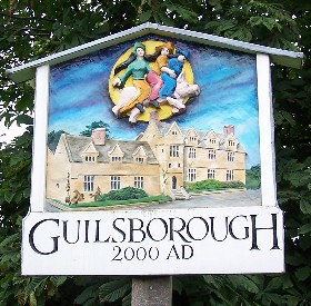
Guilsborough

Guilsborough is a village and civil parish in West Northamptonshire in England. At the time of the 2001 census, the parish's population was 882 people...

Calender Meadows

Calender Meadows is a 3.1-hectare (7.7-acre) biological Site of Special Scientific Interest north of Guilsborough in Northamptonshire.This is described...

Nortoft

Nortoft was once a distinct hamlet between the Northamptonshire village of Guilsborough and the main road connecting Leicester and Northampton (now the...

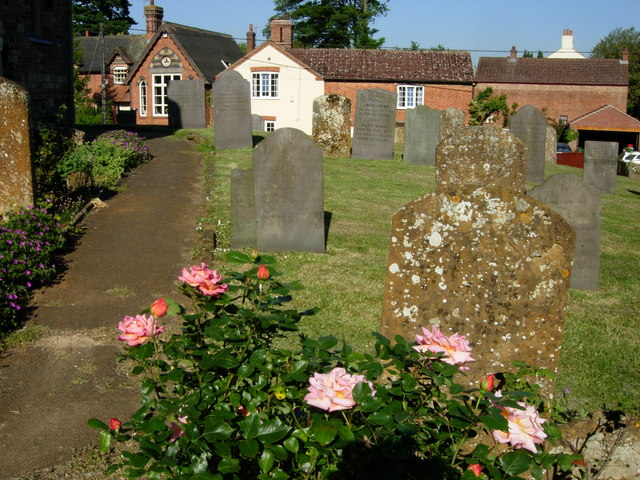
St Michael & All Angels' Church, Winwick

St Michael & All Angels' Church is an Anglican Church and the parish church of Winwick, Northamptonshire. It is a Grade II* listed building. There was...

Nearby Amenities

Located within 500m of 52.37876,-1.0413956
Cold Ashby
Place: village
Lat/Long: 52.3810841/-1.0379045
Post Box
Operator: Royal Mail
Post Box Type: lamp
Ref: NN6 497
Royal Cypher: EIIR
Royal Cypher Wikidata: Q33102113
Lat/Long: 52.3819657/-1.0392495
Cold Ashby Sports Club
Addr City: Northampton
Addr Country: GB
Addr Place: Cold Ashby
Addr Postcode: NN6 6EP
Addr Street: Stanford Road
Fhrs Authority: Daventry
Fhrs Id: 162119
Fhrs Local Authority Id: PI/000002402
Leisure: sports_centre
Lat/Long: 52.382417/-1.0441625
Pub
The Black Horse
Addr City: Northampton
Addr Country: GB
Addr Postcode: NN6 6EL
Addr Street: Main Street
Addr Village: Cold Ashby
Lat/Long: 52.3813037/-1.0375643
Defibrillator
Booth: K6
Covered: booth
Defibrillator Location: inside old red phone box in Cold Ashby
Disused Amenity: telephone
Emergency: defibrillator
Listed Status: Grade II
Man Made: telephone_box
Lat/Long: 52.3819669/-1.0392899
Leisure: playground
Lat/Long: 52.3824336/-1.0430828
Long Well
Natural: spring
Lat/Long: 52.3807152/-1.0399184
Defibrillator
Defibrillator Location: on rear of pavilion
Emergency: defibrillator
Lat/Long: 52.3824706/-1.0441772
The data included in this document is from www.openstreetmap.org. The data is made available under ODbL.

Have you been to Park Spinney?

Leave your review of Park Spinney below (or comments, questions and feedback).