Seller's Plantation
Wood, Forest in Yorkshire Ryedale
England
Seller's Plantation

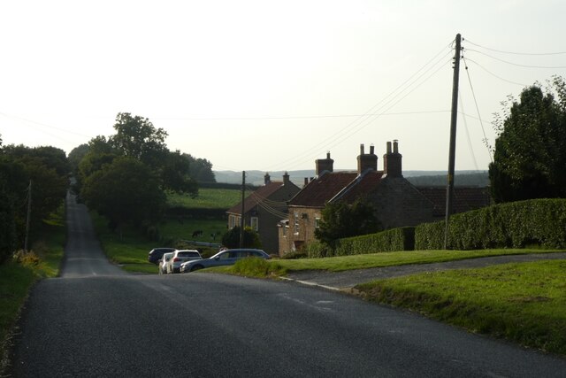
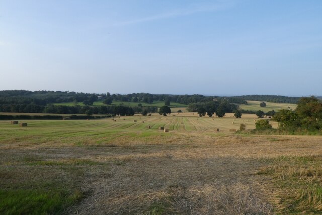
Seller's Plantation is a woodland area located in Yorkshire, England. Spanning over a vast expanse of land, it is known for its dense and diverse forest ecosystem. The plantation is primarily composed of various species of trees, including oak, beech, birch, and pine, creating a picturesque and enchanting environment.
The woodland is home to a wide range of wildlife, making it a popular destination for nature enthusiasts and birdwatchers. Numerous bird species, such as woodpeckers, owls, and songbirds, can be spotted within the plantation. Additionally, small mammals like rabbits, squirrels, and foxes can also be found, adding to the biodiversity of the area.
Seller's Plantation offers visitors a serene and tranquil experience, providing ample opportunities for hiking, walking, and exploring the natural surroundings. The well-maintained trails meander through the forest, allowing visitors to immerse themselves in the beauty of the woodland.
The plantation is also known for its conservation efforts, with ongoing initiatives to protect and preserve the natural habitat. These include sustainable forestry practices and the promotion of biodiversity through the planting of native species.
Seller's Plantation is easily accessible, with parking facilities and well-marked entrances. It is a popular destination for both locals and tourists seeking a peaceful retreat amidst nature. Whether one is looking to reconnect with nature or simply enjoy a leisurely stroll, Seller's Plantation provides a captivating and rejuvenating experience for all who visit.
If you have any feedback on the listing, please let us know in the comments section below.
Seller's Plantation Images
Images are sourced within 2km of 54.136213/-1.0022496 or Grid Reference SE6571. Thanks to Geograph Open Source API. All images are credited.


Seller's Plantation is located at Grid Ref: SE6571 (Lat: 54.136213, Lng: -1.0022496)
Division: North Riding
Administrative County: North Yorkshire
District: Ryedale
Police Authority: North Yorkshire
What 3 Words
///relax.iteration.hikes. Near Sheriff Hutton, North Yorkshire
Nearby Locations
Related Wikis

Howardian Hills
The Howardian Hills are an Area of Outstanding Natural Beauty located between the Yorkshire Wolds, the North York Moors National Park, and the Vale of...

Scackleton
Scackleton is a village and civil parish in the Ryedale district of North Yorkshire, England. It is in the Howardian Hills and 2 miles (3.2 km) south-west...

Terrington
Terrington is a large village and civil parish in the Ryedale district of North Yorkshire, England. It is situated in the Howardian Hills, 4 miles (6.4...
St Martin's Church, Whenby
St Martin's Church is a redundant Anglican church in the village of Whenby, North Yorkshire, England. It is recorded in the National Heritage List for...
Whenby
Whenby is a civil parish and village in North Yorkshire, England. The village and parish is largely agricultural in nature, and although the village has...

Coulton, North Yorkshire
Coulton is a village and civil parish in the Ryedale district of North Yorkshire, England, it is about 6 miles (9.7 km) south of Helmsley. == History... ==

Wath, Ryedale
Wath is a small hamlet in the civil parish of Hovingham, in North Yorkshire, England. It is situated at the northern edge of the Howardian Hills AONB,...

Hovingham
Hovingham is a large village and civil parish in the Ryedale district of North Yorkshire, England. It is on the edge of the Howardian Hills and about 7...
Nearby Amenities
Located within 500m of 54.136213,-1.0022496Have you been to Seller's Plantation?
Leave your review of Seller's Plantation below (or comments, questions and feedback).