Clarke's Bush
Wood, Forest in Leicestershire Harborough
England
Clarke's Bush
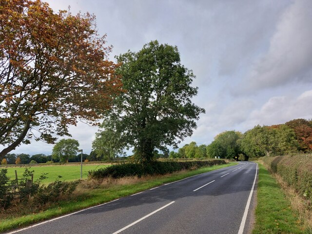
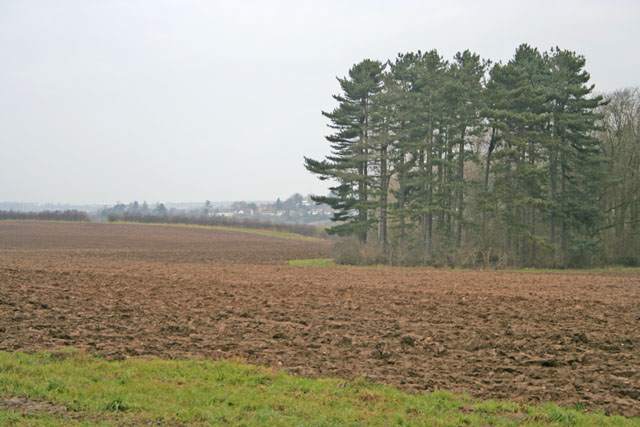
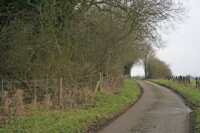
Clarke's Bush is a small woodland area located in Leicestershire, England. Situated near the village of Wood and within the larger Forest of Charnwood, it offers a tranquil and picturesque setting for nature enthusiasts and hikers alike.
Covering an area of approximately 50 acres, Clarke's Bush is known for its diverse range of plant and animal species. The woodland is predominantly composed of broadleaf trees, including oak, beech, and birch, which create a dense canopy and provide shelter for a variety of wildlife.
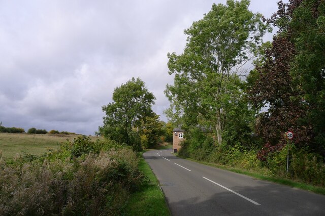
The forest floor is adorned with an array of wildflowers and ferns, adding to the area's natural beauty. Visitors can enjoy peaceful walks along the well-maintained trails that wind their way through the woodland, allowing them to immerse themselves in the sights and sounds of nature.
Birdwatchers will delight in the numerous species that call Clarke's Bush home. From common woodland birds such as robins and blackbirds to more elusive species like tawny owls and woodpeckers, there is always something to spot and admire.
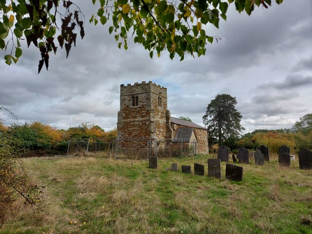
In addition to its natural wonders, Clarke's Bush also holds historical significance. The woodland is believed to be ancient, with evidence of human activity dating back thousands of years. Archaeological discoveries, including burial mounds and remnants of Iron Age settlements, highlight the area's rich cultural heritage.
Overall, Clarke's Bush offers a peaceful retreat from the hustle and bustle of everyday life. Its combination of natural beauty, biodiversity, and historical significance make it a must-visit destination for anyone seeking to connect with nature and explore the history of Leicestershire.
If you have any feedback on the listing, please let us know in the comments section below.
Clarke's Bush Images
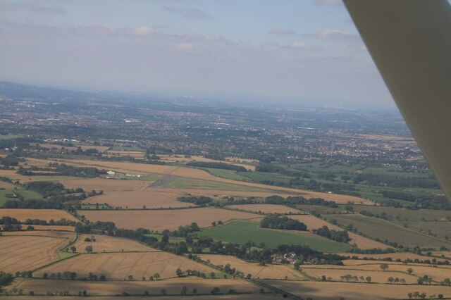
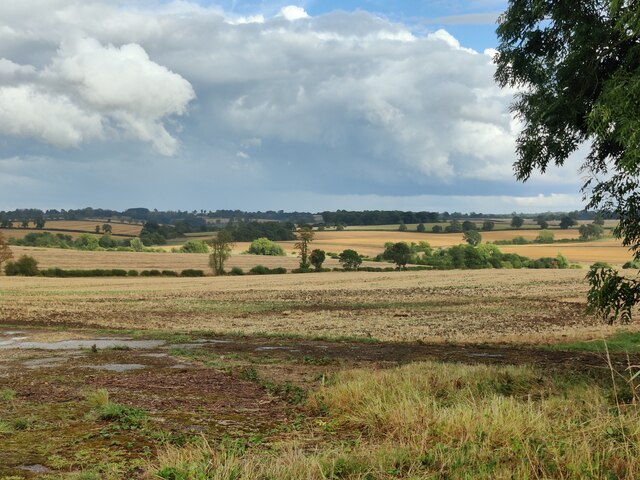
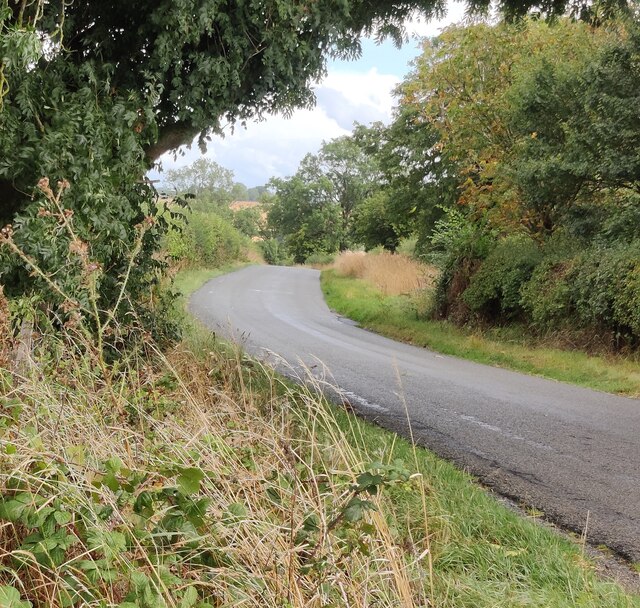
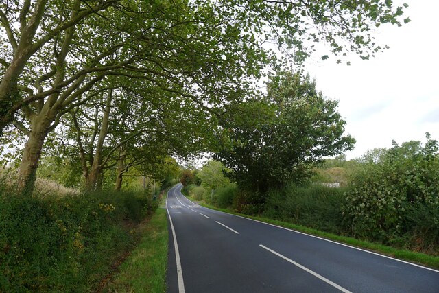
Images are sourced within 2km of 52.614095/-1.0377273 or Grid Reference SK6502. Thanks to Geograph Open Source API. All images are credited.


Clarke's Bush is located at Grid Ref: SK6502 (Lat: 52.614095, Lng: -1.0377273)
Administrative County: Leicestershire
District: Harborough
Police Authority: Leicestershire
What 3 Words
///buzz.repair.goods. Near Houghton on the Hill, Leicestershire
Nearby Locations
Related Wikis

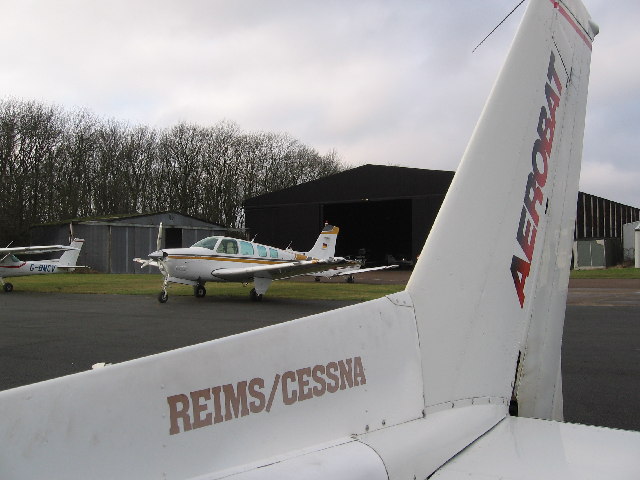
RAF Leicester East
Royal Air Force Leicester East, more commonly known as RAF Leicester East (ICAO: EGBG), is a former Royal Air Force station, near the village of Stoughton...
Leicester Airport
Leicester Airport (IATA: None, ICAO: EGBG) is an aerodrome located to the east of Stoughton, Leicestershire, England, about 5 nautical miles (9.3 km; 5...

Pennbury
Pennbury was the working name given to a proposed eco-town of 15,000 to 20,000 new homes intended to be built on Leicester Airport, four miles from the...
Stoughton, Leicestershire
Stoughton ( ) is a village and civil parish in the Harborough district of Leicestershire. The population at the 2011 census was 351.Stoughton is east of...
Have you been to Clarke's Bush?
Leave your review of Clarke's Bush below (or comments, questions and feedback).