Godwin's Copse
Wood, Forest in Oxfordshire South Oxfordshire
England
Godwin's Copse
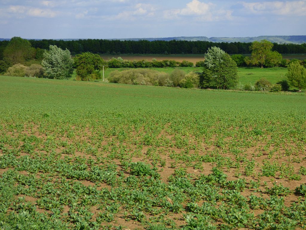
Godwin's Copse is a picturesque woodland located in Oxfordshire, England. Spanning over a vast area, it is renowned for its natural beauty and rich biodiversity. The copse is named after Godwin, a local landowner from centuries ago who recognized the value of preserving this woodland.
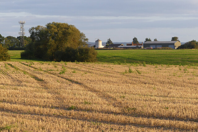
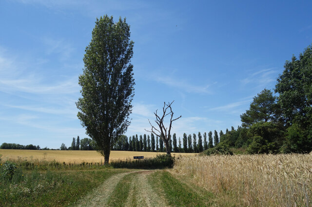
The copse is characterized by a dense canopy of tall, majestic trees, predominantly consisting of oak, beech, and ash. These trees provide a tranquil and shaded environment, making it an idyllic spot for nature lovers and hikers. The forest floor is carpeted with a variety of wildflowers, ferns, and mosses, creating a vibrant tapestry of colors.
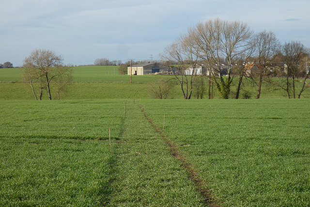
Godwin's Copse is home to a diverse range of wildlife, including numerous bird species like woodpeckers, owls, and songbirds. Squirrels, rabbits, and occasional deer can also be spotted throughout the woodland. The copse is a haven for nature enthusiasts, providing ample opportunities for birdwatching, wildlife photography, and exploring the numerous walking trails.
The copse is well-maintained, with designated picnic areas and seating spots strategically placed to allow visitors to enjoy the serene surroundings. The management actively works to preserve the copse's natural beauty and protect its inhabitants. Tree conservation efforts, controlled burning, and occasional tree planting are some of the measures undertaken to maintain the delicate ecological balance.
Godwin's Copse is a true gem of Oxfordshire, offering visitors a peaceful escape from the hustle and bustle of everyday life. Its natural splendor, abundant wildlife, and well-maintained trails make it a popular destination for both locals and tourists seeking a connection with nature.
If you have any feedback on the listing, please let us know in the comments section below.
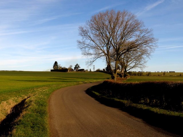
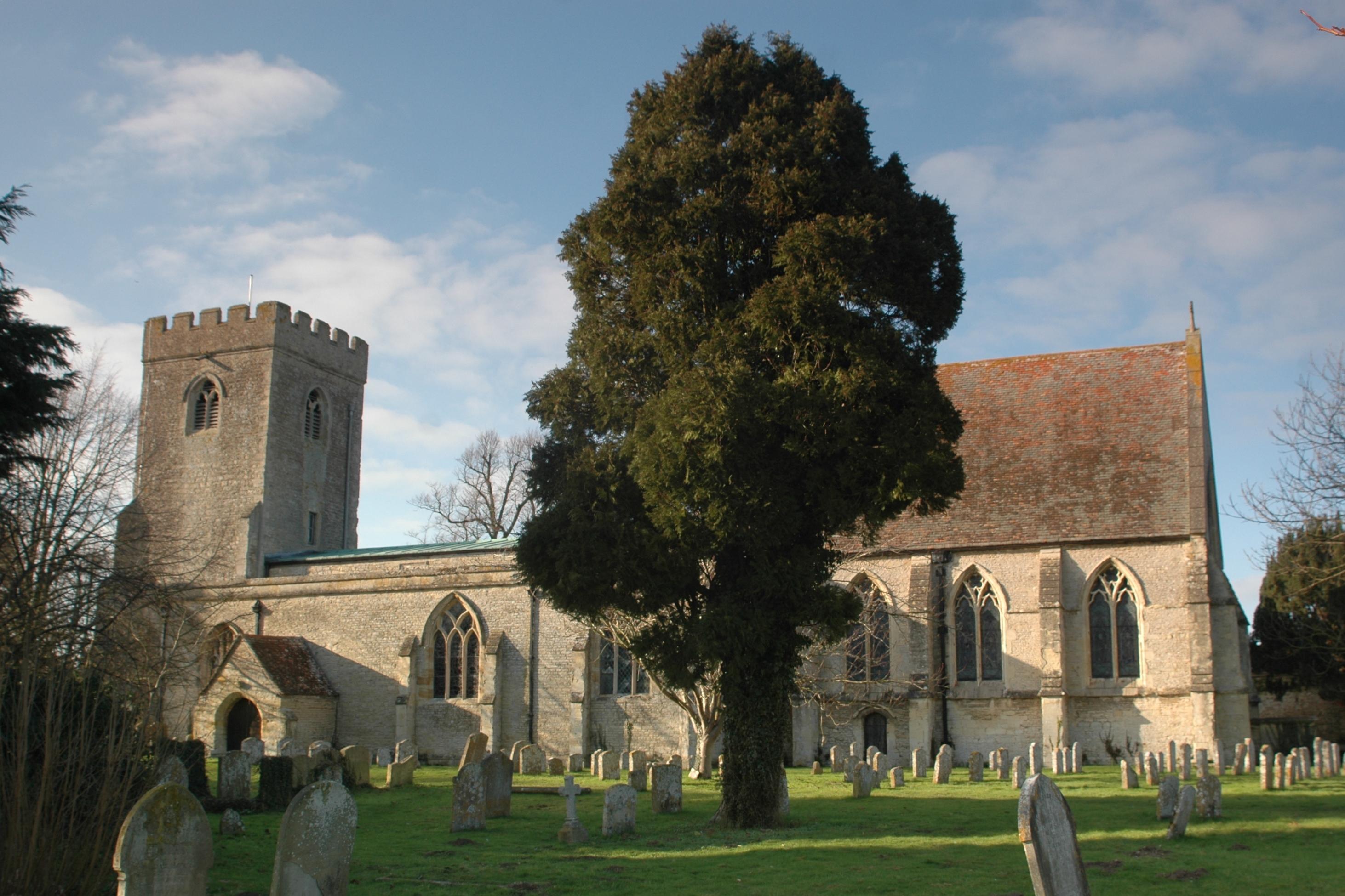
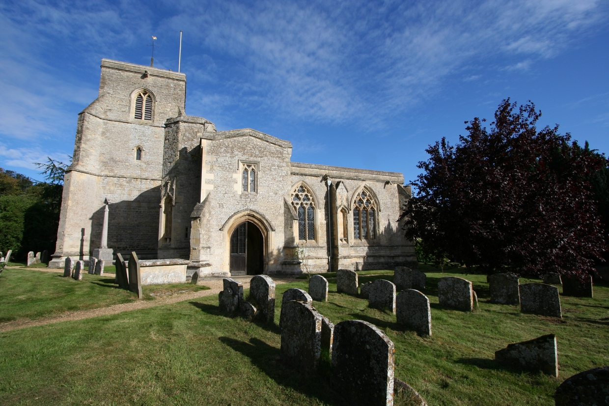
Godwin's Copse Images
Images are sourced within 2km of 51.714972/-1.0572715 or Grid Reference SP6502. Thanks to Geograph Open Source API. All images are credited.


Godwin's Copse is located at Grid Ref: SP6502 (Lat: 51.714972, Lng: -1.0572715)
Administrative County: Oxfordshire
District: South Oxfordshire
Police Authority: Thames Valley
What 3 Words
///airfields.wizard.fell. Near Chalgrove, Oxfordshire
Nearby Locations
Related Wikis
Great Haseley
Great Haseley is a village and civil parish in South Oxfordshire, England. The village is about 4.5 miles (7 km) southwest of Thame. The parish includes...
Great Milton
Great Milton is a village and civil parish in Oxfordshire, about 7 miles (11 km) east of Oxford. The 2011 Census recorded the parish's population as 1...
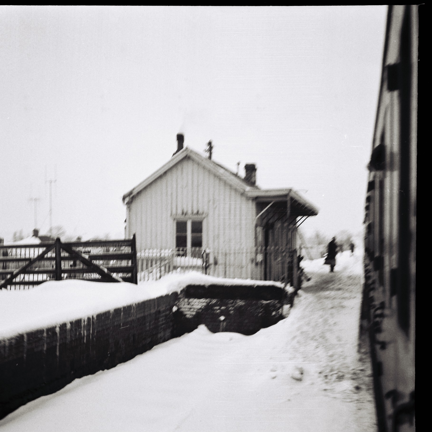
Tiddington railway station
Tiddington railway station was on the Wycombe Railway and served the village of Tiddington, Oxfordshire. On 24 October 1864 the Wycombe Railway opened...

Rycote
Rycote is a hamlet 2.5 miles (4.0 km) southwest of Thame in Oxfordshire. The Oxfordshire Way long-distance path passes through. == Saint Michael's chapel... ==

Rycote House
Rycote House (also Rycote Manor) the manor of Rycote, Oxfordshire, England, was a Tudor (and later Georgian) country house. First built in the early 16th...

Tiddington-with-Albury
Tiddington-with-Albury is a civil parish in South Oxfordshire. It includes the village of Albury (Ordnance Survey grid reference SP655051), the larger...

Albury, Oxfordshire
Albury is a village in the civil parish of Tiddington-with-Albury, about 5 miles (8 km) west of Thame in Oxfordshire. == Manor == Its toponym is derived...
Wells Farm
Wells Farm is a 64-hectare (160-acre) nature reserve on the eastern outskirts of Little Milton in Oxfordshire. It is managed by the Berkshire, Buckinghamshire...
Have you been to Godwin's Copse?
Leave your review of Godwin's Copse below (or comments, questions and feedback).