Old Canada Plantation

Wood, Forest in Yorkshire Ryedale

England

Old Canada Plantation

Pond near Lodge Farm On the path between Hovingham and Coulton.
Pond near Lodge Farm Credit: T Eyre

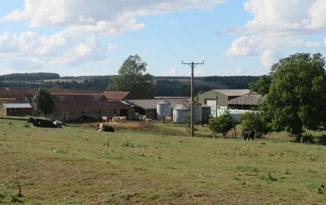
Old Canada Plantation is a historic woodland area located in Yorkshire, England. Situated in the heart of the Yorkshire Dales, this sprawling plantation covers an area of approximately 500 acres, encompassing a diverse range of trees, plants, and wildlife.

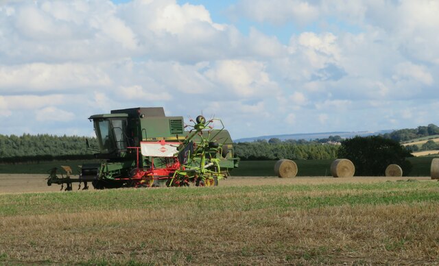
Dating back to the 17th century, Old Canada Plantation holds significant historical value. It was originally established as a source of timber for the local community, playing an essential role in the region's economic development during the industrial revolution. The plantation's name is believed to have originated from the Canadian pine trees that were introduced to the area at the time.

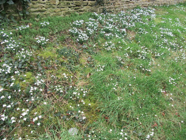
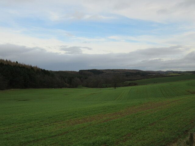
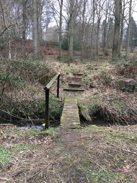
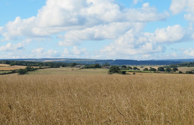
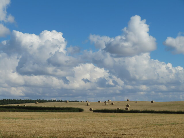
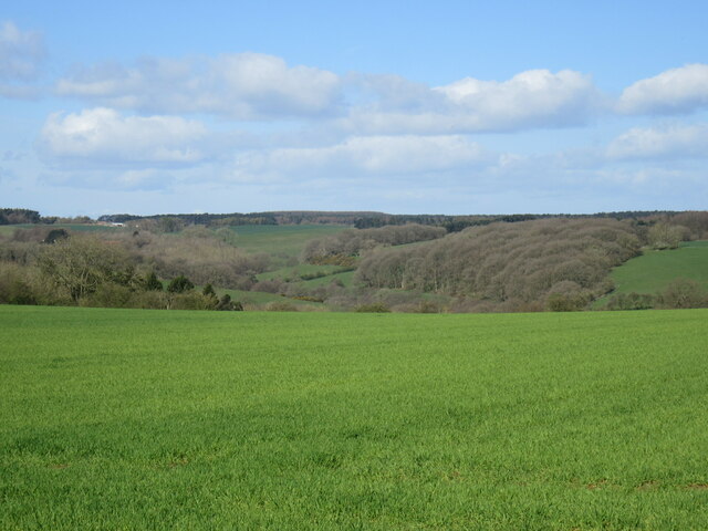
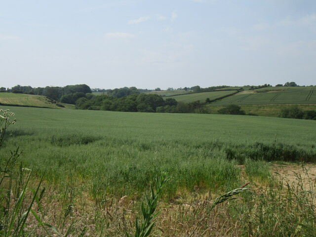
The woodland is predominantly composed of mixed deciduous and coniferous trees, including oak, birch, beech, and pine. These trees create a picturesque landscape, particularly during the autumn months when the foliage transforms into vibrant hues of red, orange, and gold. The plantation also features a network of well-maintained footpaths, allowing visitors to explore its beauty and discover its hidden treasures.

Old Canada Plantation is not only a haven for nature enthusiasts but also a habitat for various wildlife species. It provides a sanctuary for numerous bird species, including woodpeckers, owls, and jays, making it a popular destination for birdwatchers. The woodland is also home to mammals such as deer, foxes, and badgers, adding to its ecological importance.

In recent years, the plantation has become a cherished spot for recreational activities such as hiking, picnicking, and photography. Its tranquil ambiance and stunning scenery attract visitors from near and far, offering a serene escape from the hustle and bustle of everyday life.

Overall, Old Canada Plantation is not only a natural treasure but also a place of historical significance, offering a glimpse into the rich heritage and natural beauty of Yorkshire.

If you have any feedback on the listing, please let us know in the comments section below.

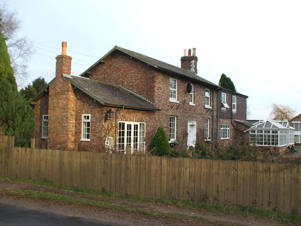
Old Canada Plantation Images

Images are sourced within 2km of 54.152281/-1.0030729 or Grid Reference SE6573. Thanks to Geograph Open Source API. All images are credited.

Pond near Lodge Farm On the path between Hovingham and Coulton.
Pond near Lodge Farm
On the path between Hovingham and Coulton.
Snowdrops in Coulton A good display of snowdrops in Coulton.
Snowdrops in Coulton
A good display of snowdrops in Coulton.
Near Moor House Farm Looking NE from the access road to Moor House Farm.
Near Moor House Farm
Looking NE from the access road to Moor House Farm.
Footbridge, Mill Wood
Track into Hovingham High Wood
Warning sign at Scackleton Lane End A large warning sign near Scackleton.
Warning sign at Scackleton Lane End
A large warning sign near Scackleton.
Water pump in Scackleton A water pump and a Gnome in Scackleton.
Water pump in Scackleton
A water pump and a Gnome in Scackleton.
Sheep pasture, Scackleton There's a small enclosure here with a bench and information board. A pleasant place to sit for a while and admire the view across the Howardian Hills. A sharp eye might just spot Ampleforth Abbey tower at the extreme edge of the photo, whilst to the right beyond the wooded hills is the distant whaleback of Easterside above Hawnby.
Sheep pasture, Scackleton
There's a small enclosure here with a bench and information board. A pleasant place to sit for a while and admire the view across the Howardian Hills. A sharp eye might just spot Ampleforth Abbey tower at the extreme edge of the photo, whilst to the right beyond the wooded hills is the distant whaleback of Easterside above Hawnby.
Field off Grange Lane A view looking north west across what appears to be a field of ryegrass. The rolling countryside of the Howardian Hills merges into the distant Hambleton Hills on the edge of the NY Moors National Park. Away in the distance on the skyline to the right is the familiar whaleback shape of Easterside near Hawnby.
Field off Grange Lane
A view looking north west across what appears to be a field of ryegrass. The rolling countryside of the Howardian Hills merges into the distant Hambleton Hills on the edge of the NY Moors National Park. Away in the distance on the skyline to the right is the familiar whaleback shape of Easterside near Hawnby.
Harvested field off Grange Lane Cropped fields off Grange Lane on the last day of summer.
Harvested field off Grange Lane
Cropped fields off Grange Lane on the last day of summer.
Farm buildings at Scackleton Grange A variety of barns and a few cattle at Scackleton Grange. The farmhouse is off picture to the left.
Farm buildings at Scackleton Grange
A variety of barns and a few cattle at Scackleton Grange. The farmhouse is off picture to the left.
The harvest is over Combine harvester lying idle at Scackleton Grange.
The harvest is over
Combine harvester lying idle at Scackleton Grange.
Horse Coppice Near Wool Knoll.
Horse Coppice
Near Wool Knoll.
Grange Lane view Looking NW from Grange Lane.
Grange Lane view
Looking NW from Grange Lane.
Near Scackleton Looking south.
Near Scackleton
Looking south.
Scackleton Lane view Looking SW at the eastern end of Scackleton Lane.
Scackleton Lane view
Looking SW at the eastern end of Scackleton Lane.
Descending To Hovingham On the road from Sheriff Hutton
Descending To Hovingham
On the road from Sheriff Hutton
The Track To Moor House And Aireyholme Farms Aireyholme Farm describes itself as "The Home of the Flitwick Flock". The track to the farm is also a Bridleway which, inter alia, leads to the Centenary Way
The Track To Moor House And Aireyholme Farms
Aireyholme Farm describes itself as "The Home of the Flitwick Flock". The track to the farm is also a Bridleway which, inter alia, leads to the Centenary Way
Show me another place!

Old Canada Plantation is located at Grid Ref: SE6573 (Lat: 54.152281, Lng: -1.0030729)

Division: North Riding

Administrative County: North Yorkshire

District: Ryedale

Police Authority: North Yorkshire

What 3 Words

///fantastic.heeding.destroyer. Near Sheriff Hutton, North Yorkshire

Related Wikis

Scackleton

Scackleton is a village and civil parish in the Ryedale district of North Yorkshire, England. It is in the Howardian Hills and 2 miles (3.2 km) south-west...

Howardian Hills

The Howardian Hills are an Area of Outstanding Natural Beauty located between the Yorkshire Wolds, the North York Moors National Park, and the Vale of...

Coulton, North Yorkshire

Coulton is a village and civil parish in the Ryedale district of North Yorkshire, England, it is about 6 miles (9.7 km) south of Helmsley. == History... ==

Hovingham Hall

Hovingham Hall is a country house built in the Palladian style in the village of Hovingham, North Yorkshire, England. It has been the seat of the Worsley...

Hovingham

Hovingham is a large village and civil parish in the Ryedale district of North Yorkshire, England. It is on the edge of the Howardian Hills and about 7...

Wath, Ryedale

Wath is a small hamlet in the civil parish of Hovingham, in North Yorkshire, England. It is situated at the northern edge of the Howardian Hills AONB,...

Hovingham railway station

Hovingham Spa railway station was located just north of the village of Hovingham in the Ryedale area of North Yorkshire, England and opened in 1853. Regular...

Terrington

Terrington is a large village and civil parish in the Ryedale district of North Yorkshire, England. It is situated in the Howardian Hills, 4 miles (6.4...

Nearby Amenities

Located within 500m of 54.152281,-1.0030729
Passing Place
Lat/Long: 54.1535067/-1.0060666
Direction East: Policar Bank
Direction North: Hovingham
Guide Type: destination
Guidepost Type: PROW
Information: guidepost
Tourism: information
Lat/Long: 54.1558856/-1.0020077
Passing Place
Lat/Long: 54.1528104/-1.0076016
Barrier: stile
Step Count: 1
Stile: stepover
Lat/Long: 54.1524507/-1.0084945
Barrier: cattle_grid
Lat/Long: 54.1543048/-1.004777
The data included in this document is from www.openstreetmap.org. The data is made available under ODbL.

Have you been to Old Canada Plantation?

Leave your review of Old Canada Plantation below (or comments, questions and feedback).