Harefield Copse
Wood, Forest in Berkshire
England
Harefield Copse

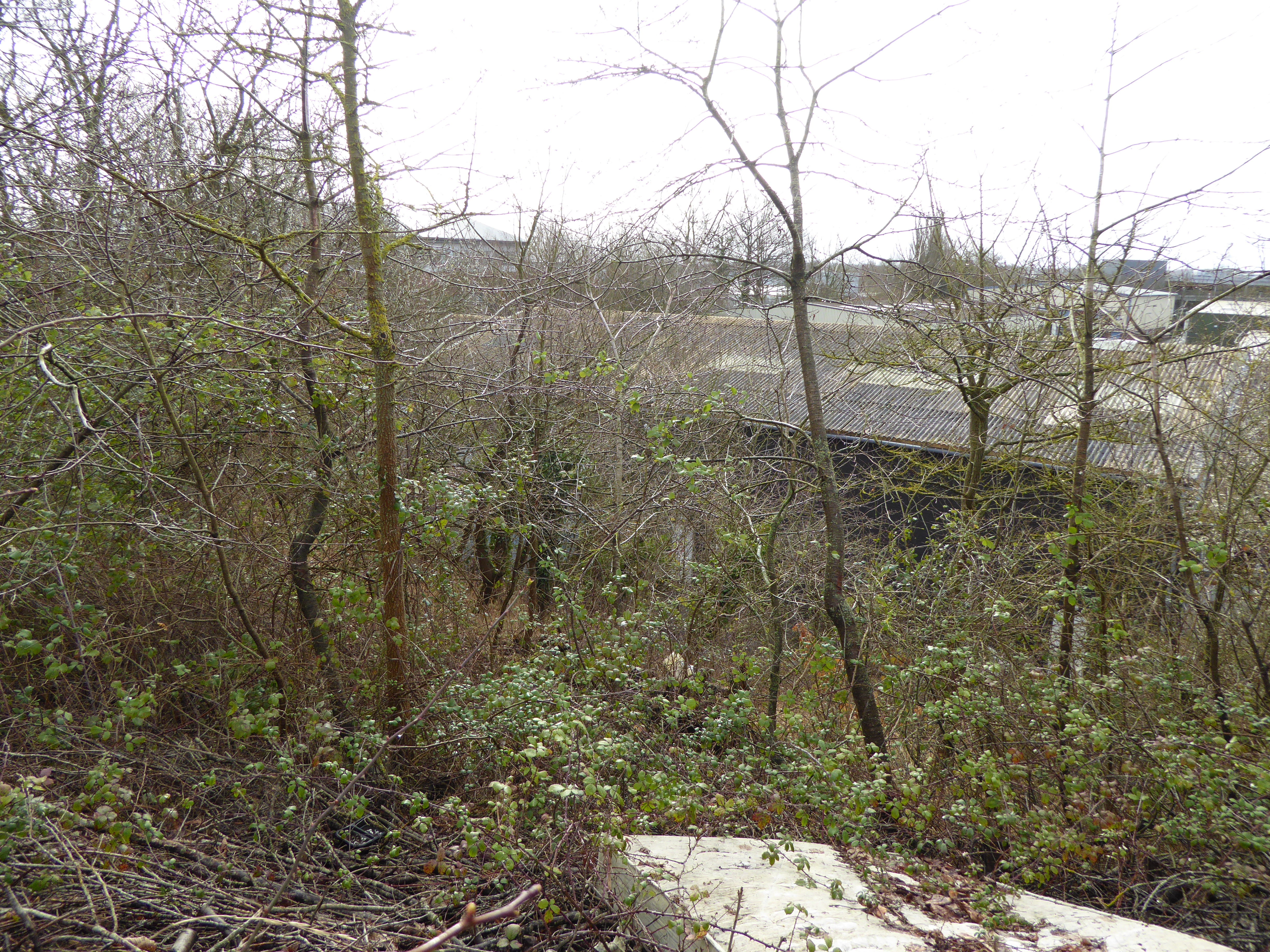
Harefield Copse is an enchanting woodland located in Berkshire, England. Covering an area of approximately 200 acres, this captivating forest is a haven for nature lovers and outdoor enthusiasts alike. Situated near the village of Harefield, the copse is easily accessible and offers a tranquil escape from the hustle and bustle of nearby towns and cities.
The copse is primarily composed of deciduous trees, including oak, beech, and ash, creating a diverse and vibrant tapestry of foliage throughout the year. The forest floor is adorned with a rich array of wildflowers, such as bluebells and primroses, adding splashes of color to the landscape.
The woodland is crisscrossed by a network of well-maintained footpaths, allowing visitors to explore its beauty at their own pace. These paths lead to various points of interest within the copse, including a picturesque pond teeming with aquatic life and a charming picnic area surrounded by ancient trees. The copse also features a small children's playground, providing entertainment for younger visitors.
Harefield Copse is a haven for wildlife, providing a habitat for numerous species. Birdwatchers can spot a variety of feathered inhabitants, including woodpeckers, nuthatches, and tawny owls. Foxes, badgers, and rabbits are among the mammals that call this woodland home.
The copse is managed by a local conservation group, ensuring the preservation of its natural beauty and biodiversity. Regular events and guided walks are organized to educate visitors about the flora and fauna of the area.
In conclusion, Harefield Copse is a captivating woodland in Berkshire, offering a peaceful retreat and a chance to connect with nature. Its diverse ecosystem, well-maintained paths, and range of facilities make it an ideal destination for individuals and families seeking outdoor adventure and tranquility.
If you have any feedback on the listing, please let us know in the comments section below.
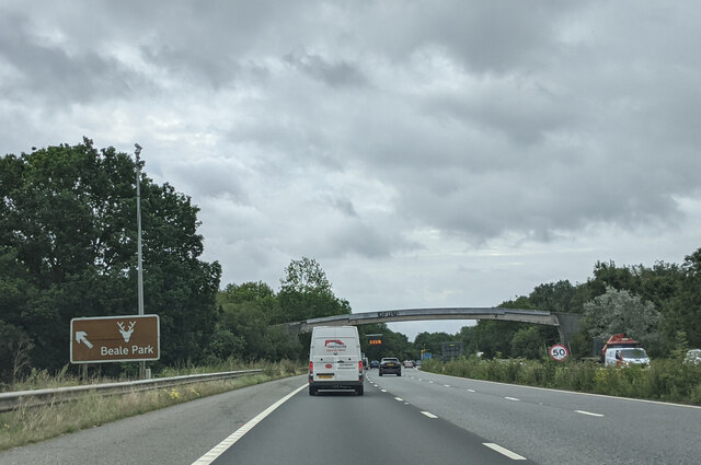
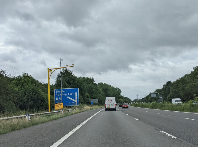
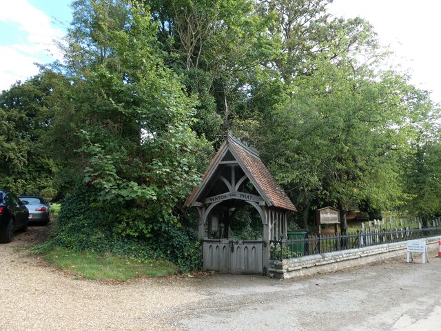
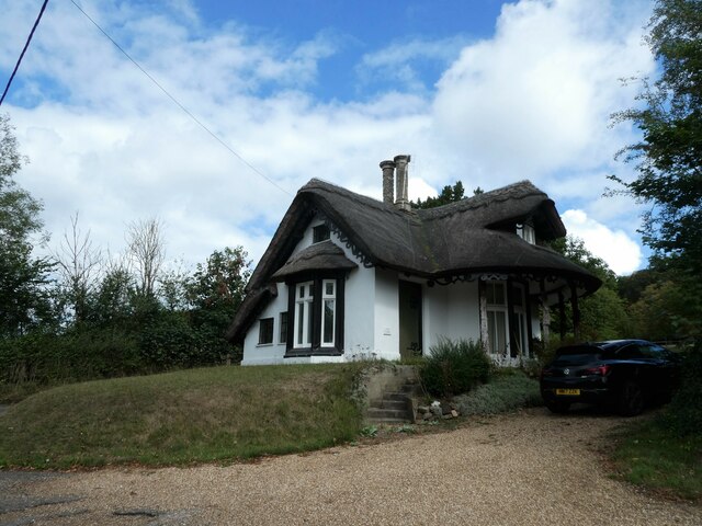
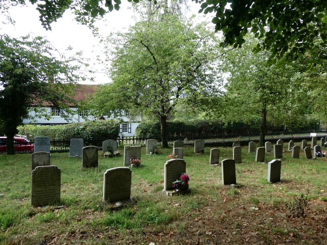
Harefield Copse Images
Images are sourced within 2km of 51.448499/-1.0632143 or Grid Reference SU6572. Thanks to Geograph Open Source API. All images are credited.


Harefield Copse is located at Grid Ref: SU6572 (Lat: 51.448499, Lng: -1.0632143)
Unitary Authority: West Berkshire
Police Authority: Thames Valley
What 3 Words
///super.frosted.fund. Near Calcot, Berkshire
Nearby Locations
Related Wikis
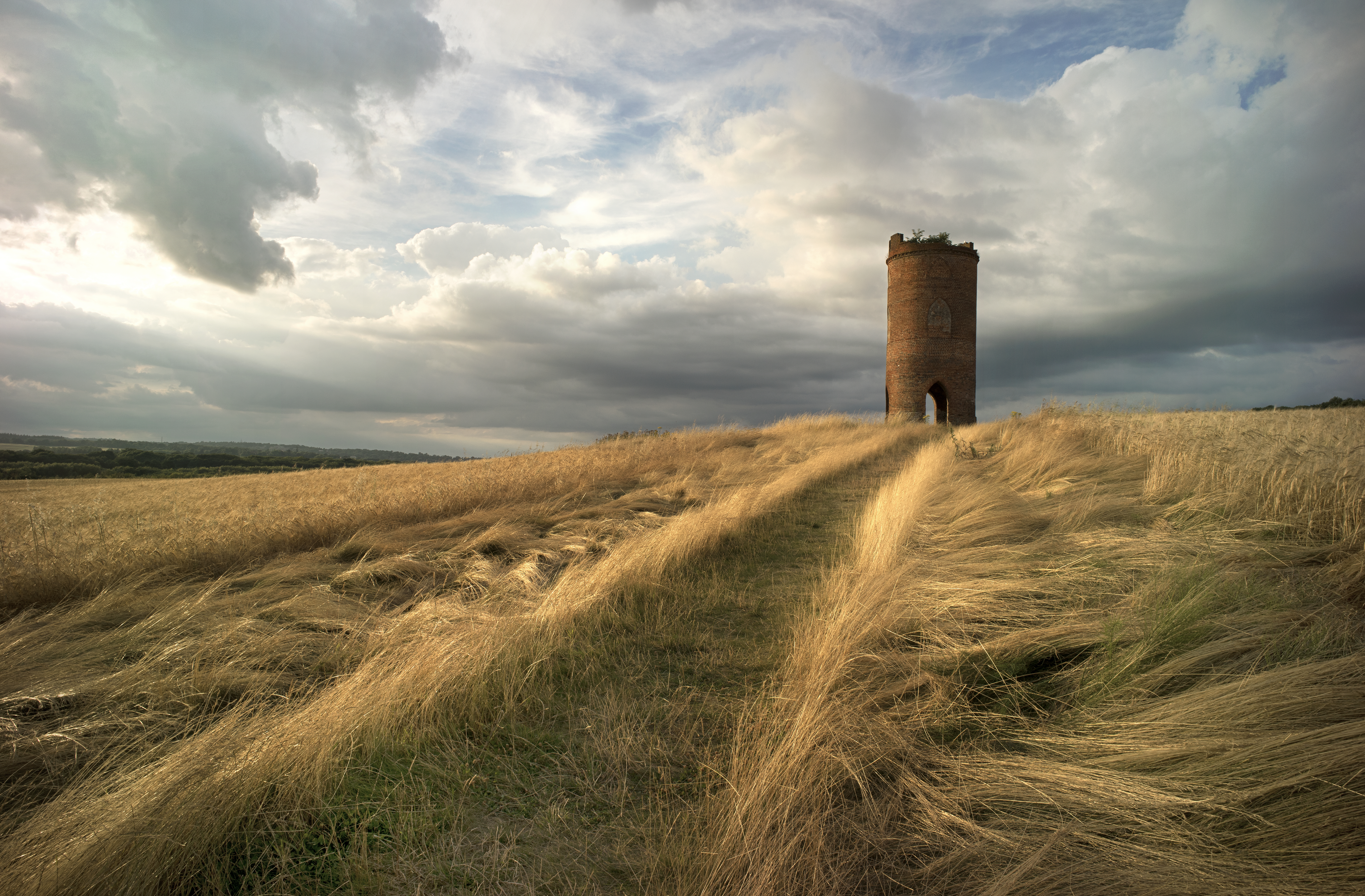
Wilder's Folly
Wilder's Folly (also known as Pincent's Kiln, Nunhide Tower and Flint's Folly) is a folly and dovecote at Nunhide, near the village of Sulham in the English...

Little Heath School
Little Heath School is a voluntary-aided co-educational comprehensive secondary school. The school is located in the Little Heath area of the Reading suburb...
Pincent's Kiln
Pincent's Kiln is a 0.2-hectare (0.49-acre) geological Site of Special Scientific Interest situated between Theale and Calcot, on the western edge of the...
107 Jack FM
107 JACK fm Berkshire was an Independent Local Radio station in the English town of Reading. The station was based at studios in the Madejski Stadium,...
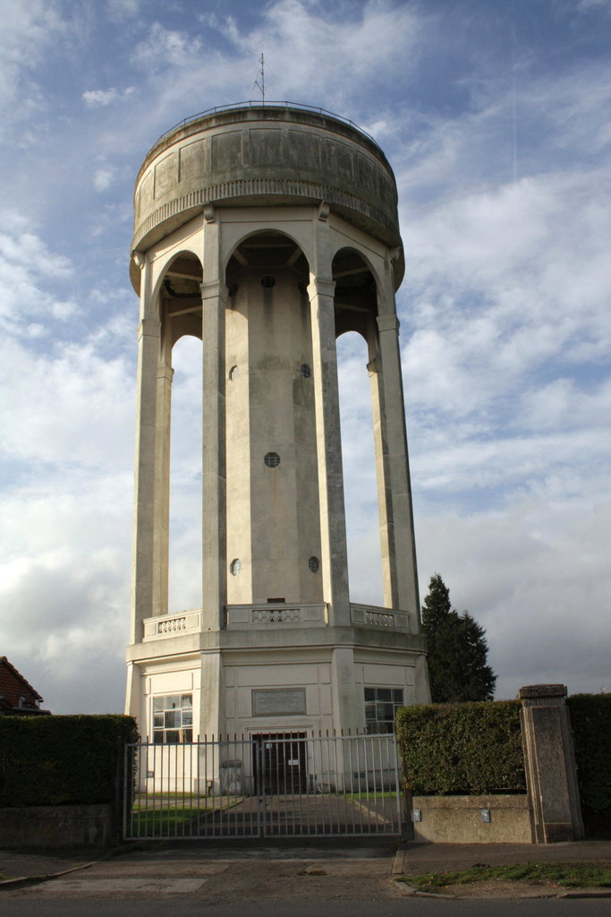
Tilehurst Water Tower
Tilehurst Water Tower, is a distinctive water tower in Tilehurst, a suburb of the English town of Reading. People from Reading know they are near home...

Tilehurst (civil parish)
Tilehurst or Tilehurst Without is a civil parish in the district of West Berkshire, in the county of Berkshire, England. It includes part of the Reading...

Calcot, Berkshire
Calcot, or Calcot Row, is a village in the West Berkshire unitary area of the county of Berkshire, England. Calcot straddles the historic A4 Bath Road...
Little Heath, Berkshire
Little Heath is a suburb of the town of Reading, in the county of Berkshire, England. It is part of the larger suburb of Tilehurst (where according to...
Nearby Amenities
Located within 500m of 51.448499,-1.0632143Have you been to Harefield Copse?
Leave your review of Harefield Copse below (or comments, questions and feedback).