Bristow's Copse
Wood, Forest in Berkshire
England
Bristow's Copse
Bristow's Copse is a picturesque woodland located in Berkshire, England. Spread across an area of approximately 100 acres, this forest is a beautiful natural treasure, attracting nature enthusiasts, hikers, and photographers alike. It is situated within close proximity to the town of Reading, making it easily accessible for visitors.
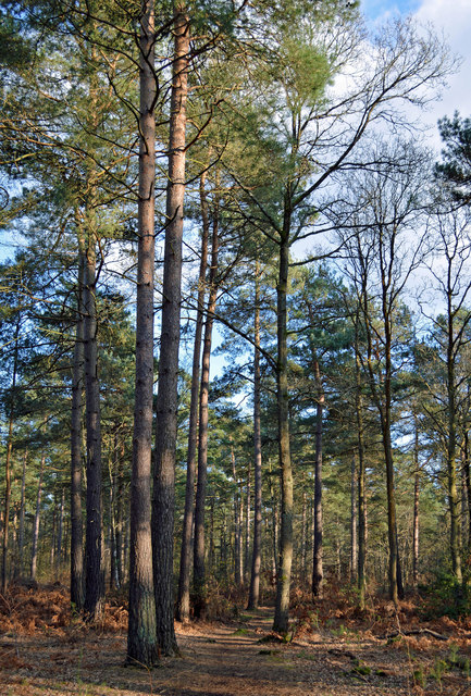
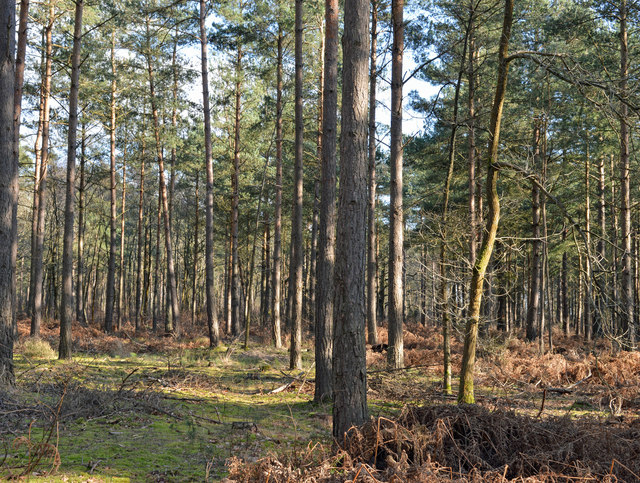
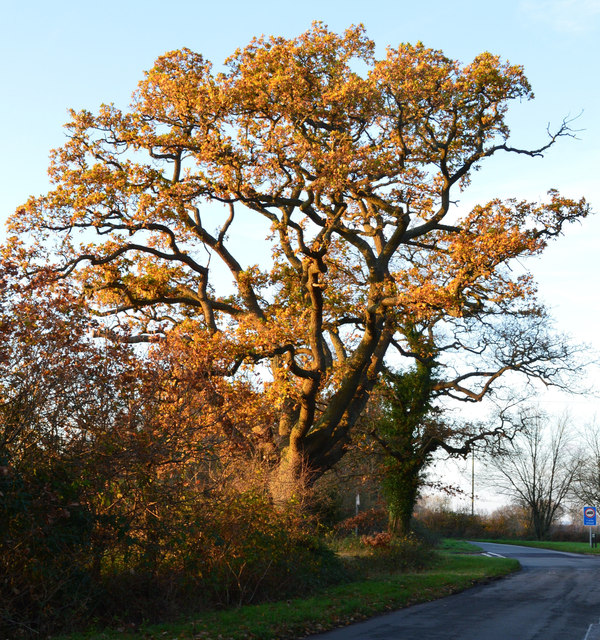
The copse is predominantly composed of native broad-leaved trees, with a diverse range of species such as oak, beech, and birch. The dense canopy provides a haven for various bird species, including woodpeckers, owls, and thrushes. It is also home to a variety of mammals, including foxes, badgers, and deer, making it an ideal spot for wildlife spotting.
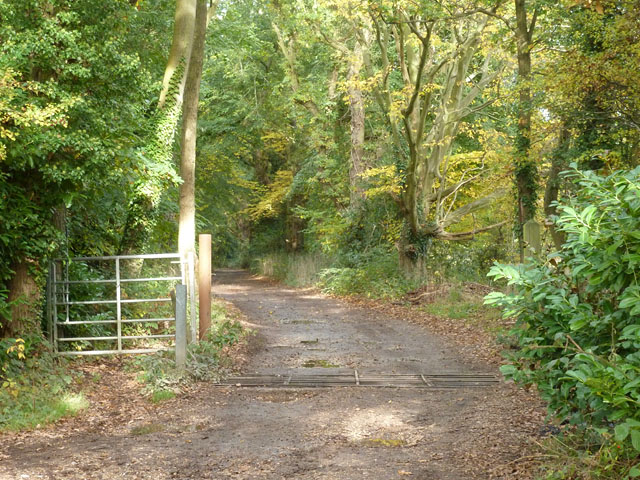
The forest is crisscrossed by a network of well-maintained walking trails, allowing visitors to explore its natural beauty at their own pace. These paths wind through the woods, offering glimpses of babbling brooks, wildflowers, and occasional clearings where sunlight filters through the foliage. The tranquil atmosphere and serene surroundings make it a popular location for picnics and family outings.
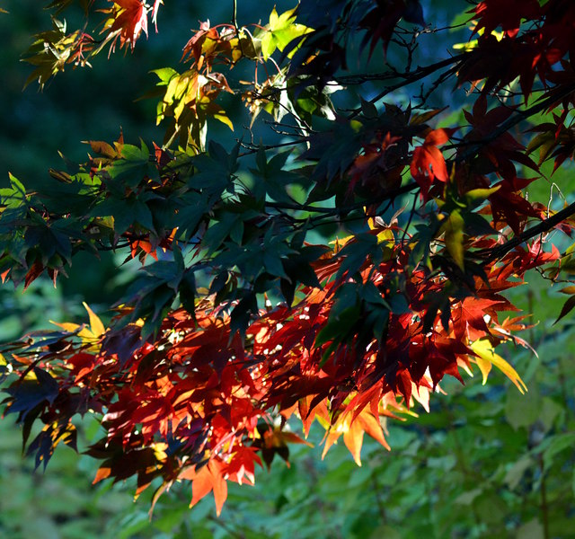
Bristow's Copse is open year-round, with each season offering a distinct experience. In spring, the forest is alive with the vibrant colors of bluebells and blossoming trees. During summer, the dense foliage provides welcome shade, while autumn transforms the woodland into a riot of red, orange, and gold as the leaves change. Even in winter, the copse retains its charm, with frost-covered branches and a peaceful silence that blankets the forest.
Overall, Bristow's Copse is a delightful destination for nature lovers, offering a serene escape from the bustle of daily life and a chance to immerse oneself in the captivating beauty of the Berkshire woodlands.
If you have any feedback on the listing, please let us know in the comments section below.
Bristow's Copse Images
Images are sourced within 2km of 51.40734/-1.0673191 or Grid Reference SU6468. Thanks to Geograph Open Source API. All images are credited.


Bristow's Copse is located at Grid Ref: SU6468 (Lat: 51.40734, Lng: -1.0673191)
Unitary Authority: West Berkshire
Police Authority: Thames Valley
What 3 Words
///veal.healers.spark. Near Theale, Berkshire
Nearby Locations
Related Wikis

Arlington Square, Bracknell
Arlington Square Business Park is a business park in Bracknell, England, owned and operated by Goodman Group. The park houses a number of well-known companies...
The Willink School
The Willink School is a comprehensive community school in Burghfield Common, Berkshire, United Kingdom. Founded in 1957, the school is co-educational and...

Ufton Nervet
Ufton Nervet is a village and civil parish in West Berkshire, England centred 6 miles (10 km) west southwest of the large town of Reading and 7 miles east...
Great Auclum National Speed Hill Climb
Great Auclum National Speed Hill Climb was a motorcar course close to Burghfield Common in the English county of Berkshire. It was based in the grounds...

Hosehill Lake
Hosehill Lake is a 23.6-hectare (58-acre) Local Nature Reserve west of Reading in Berkshire. It is owned by West Berkshire Council and managed by the...
Sulhamstead
Sulhamstead is a village and civil parish in West Berkshire, England. It occupies an approximate rectangle of land south of the (Old) Bath Road (A4) between...

Burghfield
Burghfield is a village and large civil parish in West Berkshire, England, with a boundary with Reading. Burghfield can trace its history back to before...

Folly Farm, Sulhamstead
Folly Farm is an Arts and Crafts style country house in Sulhamstead, West Berkshire, England. Built around a small farmhouse dating to c. 1650, the house...
Nearby Amenities
Located within 500m of 51.40734,-1.0673191Have you been to Bristow's Copse?
Leave your review of Bristow's Copse below (or comments, questions and feedback).