Hangings Grove
Wood, Forest in Oxfordshire South Oxfordshire
England
Hangings Grove

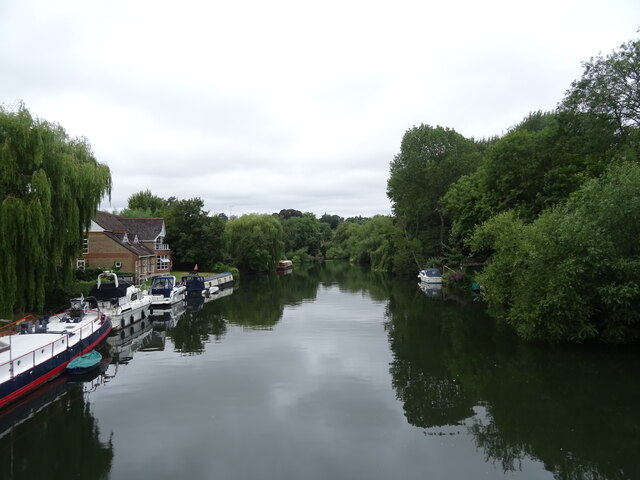
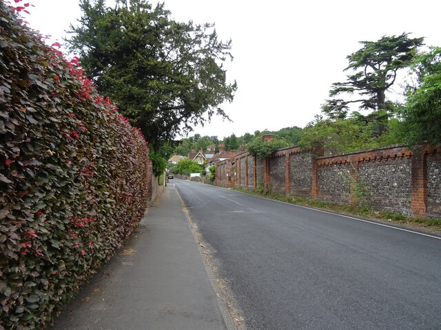
Hangings Grove is a picturesque woodland located in the county of Oxfordshire, England. Situated near the village of Standlake, this enchanting forest covers an area of approximately 100 acres. It is renowned for its ancient trees, diverse wildlife, and tranquil atmosphere, making it a popular destination for nature enthusiasts and visitors seeking a peaceful retreat.
The woodland is primarily composed of deciduous trees, including oak, beech, and ash, creating a dense canopy that provides shade during the summer months. The forest floor is adorned with a vibrant carpet of wildflowers, such as bluebells and primroses, adding to the area's natural beauty.
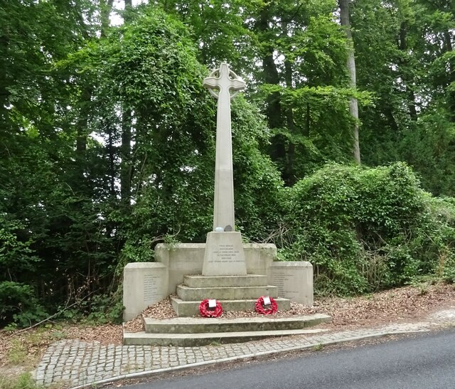
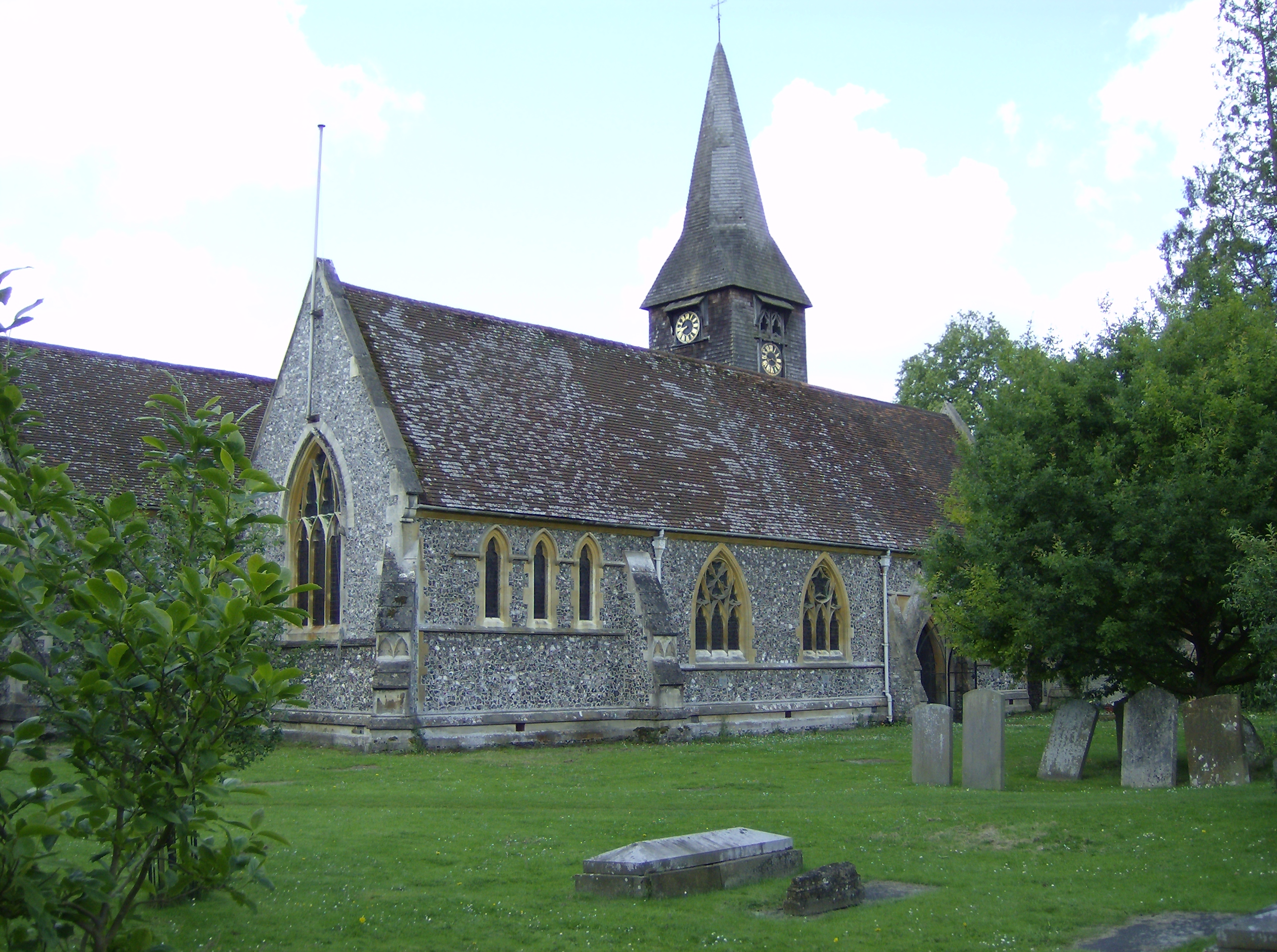
Hangings Grove has a rich history dating back centuries. The name "Hangings" is derived from the practice of hanging criminals on trees within the forest during medieval times. Although these occurrences are long gone, the name serves as a reminder of the area's past.
The woodland is home to a diverse range of wildlife, including various bird species, such as woodpeckers and owls, as well as small mammals like squirrels and hedgehogs. Nature enthusiasts can also spot a variety of insects, butterflies, and other invertebrates that thrive in this natural habitat.
For visitors, Hangings Grove offers several walking trails that wind through the forest, allowing them to explore its serenity at their own pace. The tranquility and beauty of this woodland make it an ideal location for picnics, photography, or simply immersing oneself in nature.
Overall, Hangings Grove in Oxfordshire is a captivating woodland that combines history, natural beauty, and a peaceful atmosphere, providing a delightful experience for all who visit.
If you have any feedback on the listing, please let us know in the comments section below.
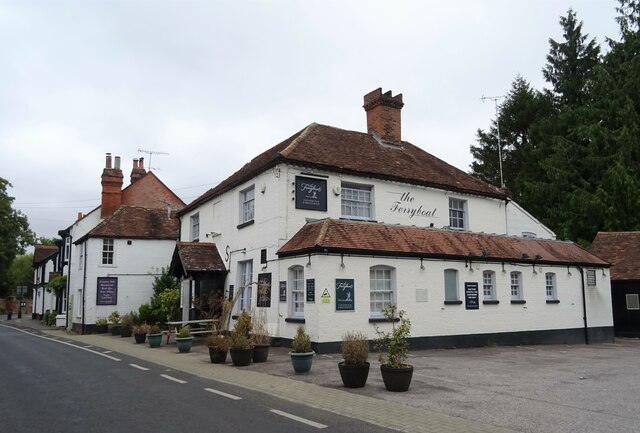
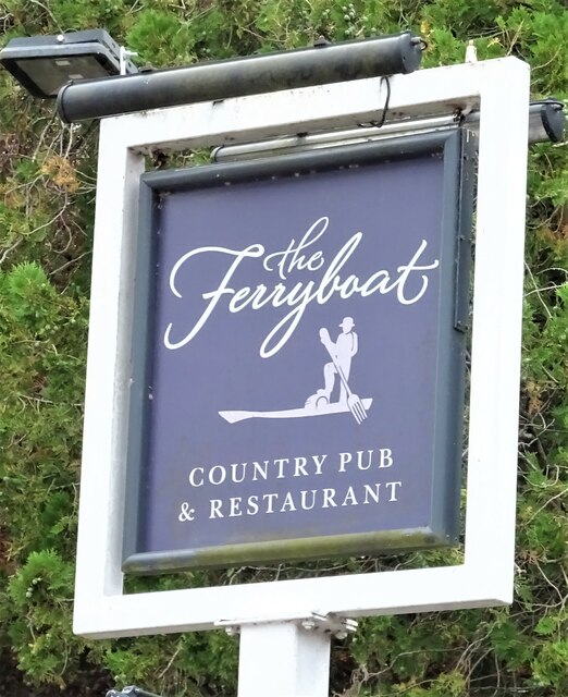
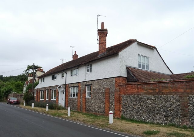
Hangings Grove Images
Images are sourced within 2km of 51.498889/-1.0655241 or Grid Reference SU6478. Thanks to Geograph Open Source API. All images are credited.


Hangings Grove is located at Grid Ref: SU6478 (Lat: 51.498889, Lng: -1.0655241)
Administrative County: Oxfordshire
District: South Oxfordshire
Police Authority: Thames Valley
What 3 Words
///purely.call.cheer. Near Pangbourne, Berkshire
Nearby Locations
Related Wikis

Hardwick House, Oxfordshire
Hardwick House is a Tudor house on the banks of the River Thames on a slight rise at Whitchurch-on-Thames in the English county of Oxfordshire. It is reputed...

Whitchurch Hill
Whitchurch Hill is a village in the Chiltern Hills in Oxfordshire, about 5.5 miles (9 km) northwest of Reading, Berkshire, near Whitchurch-on-Thames. The...
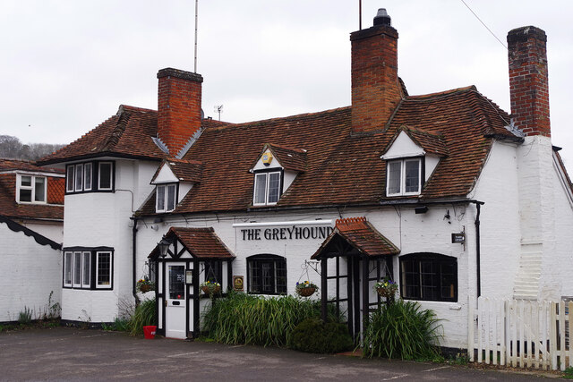
Whitchurch-on-Thames
Whitchurch-on-Thames is a village and civil parish on the Oxfordshire bank of the River Thames, about 5.5 miles (9 km) northwest of Reading, Berkshire...
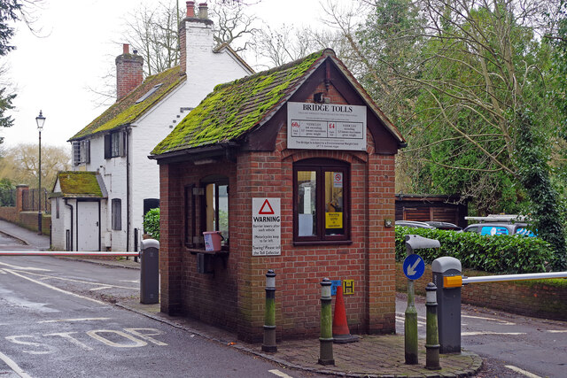
Whitchurch Bridge
Whitchurch Bridge is a toll bridge that carries the B471 road over the River Thames in England. It links the villages of Pangbourne in Berkshire, and Whitchurch...

The Oratory Preparatory School
The Oratory Prep School is a Roman Catholic day and boarding school for some 330 boys and girls aged from two to thirteen, founded in 1925. The school...
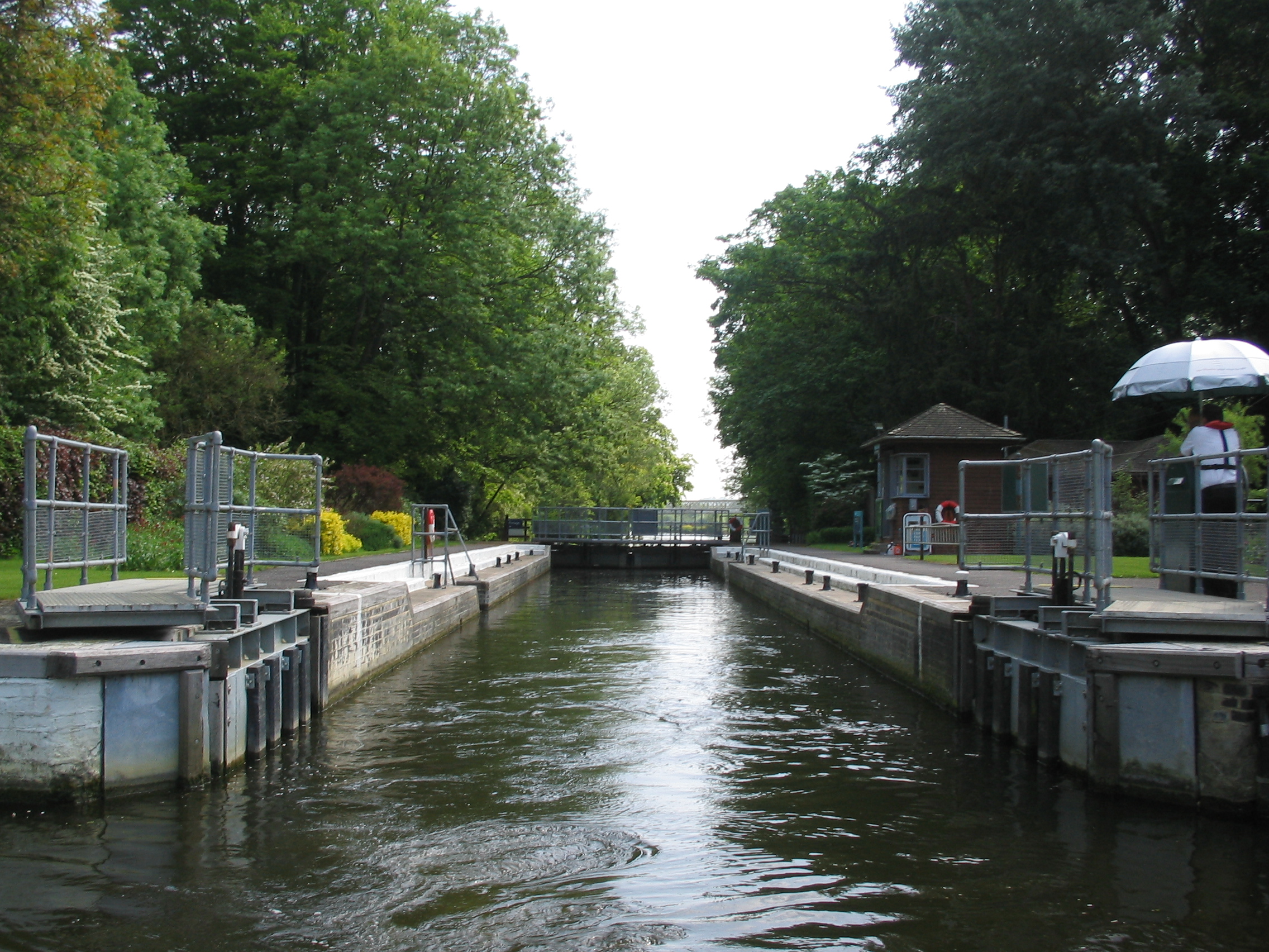
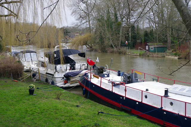
Whitchurch Lock
Whitchurch Lock is a lock and weir on the River Thames in England. It is a pound lock, built by the Thames Navigation Commissioners in 1787. It is on an...
Goring Rural District
Goring was a rural district in Oxfordshire, England from 1894 to 1932. It was formed from that part of the Bradfield rural sanitary district which was...

River Pang
The River Pang is a small chalk stream river in the west of the English county of Berkshire, and a tributary of the River Thames. It runs for approximately...
Nearby Amenities
Located within 500m of 51.498889,-1.0655241Have you been to Hangings Grove?
Leave your review of Hangings Grove below (or comments, questions and feedback).