Far Leys Holt
Wood, Forest in Nottinghamshire Newark and Sherwood
England
Far Leys Holt
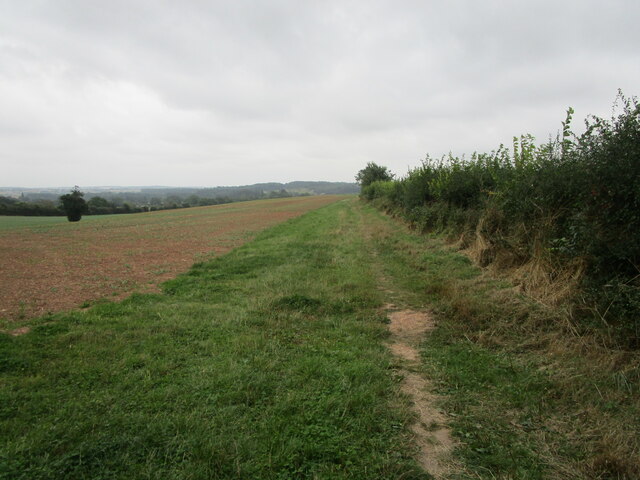
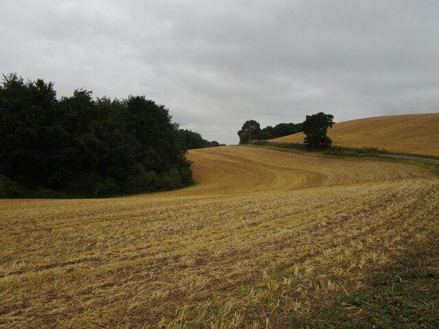
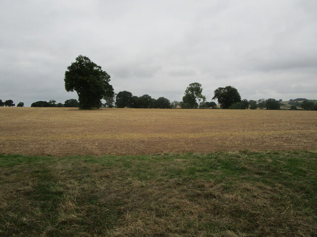
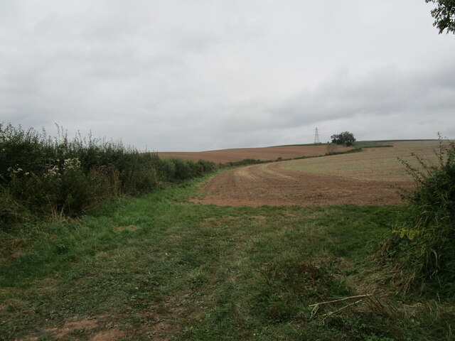
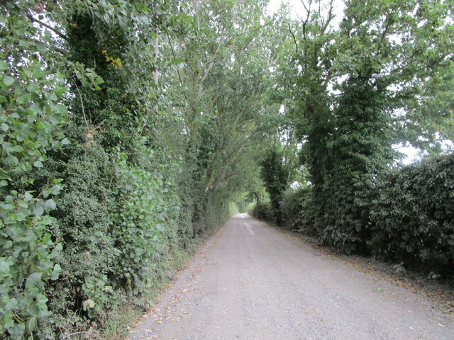
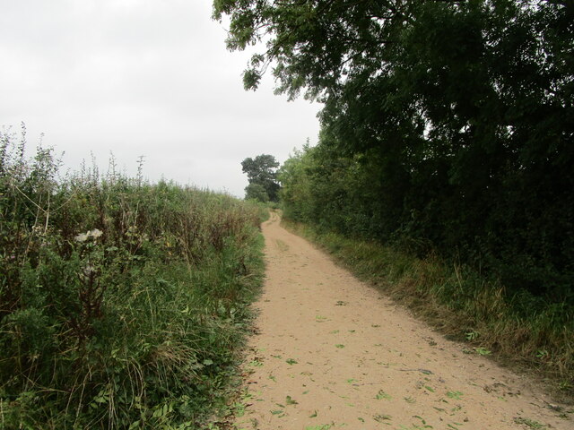
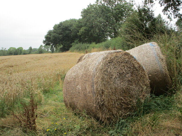
Far Leys Holt is a picturesque woodland located in Nottinghamshire, England. Situated in the heart of the county, this woodland is renowned for its natural beauty and diverse ecosystem. Covering an area of approximately 100 acres, Far Leys Holt is a haven for wildlife enthusiasts and nature lovers alike.
The woodland is predominantly composed of deciduous trees such as oak, beech, and birch, which provide a stunning display of colors during the autumn months. The forest floor is adorned with an array of wildflowers, creating a vibrant and enchanting atmosphere.
Far Leys Holt is home to a wide variety of wildlife, including deer, foxes, badgers, and a vast array of bird species. It is a popular destination for birdwatchers, as the woodland provides an ideal habitat for numerous species, including woodpeckers, owls, and warblers.
Visitors to Far Leys Holt can enjoy a range of activities, such as walking, cycling, and picnicking. There are well-maintained trails that wind through the forest, offering stunning views and opportunities to immerse oneself in the tranquility of nature. The woodland also features a designated picnic area, providing a perfect spot to relax and enjoy the surroundings.
Far Leys Holt is an important conservation area, managed by local authorities to preserve its natural beauty and protect its diverse range of flora and fauna. The woodland is open to the public year-round and offers a peaceful and idyllic escape from the hustle and bustle of everyday life.
If you have any feedback on the listing, please let us know in the comments section below.
Far Leys Holt Images
Images are sourced within 2km of 53.071712/-1.0325296 or Grid Reference SK6453. Thanks to Geograph Open Source API. All images are credited.


Far Leys Holt is located at Grid Ref: SK6453 (Lat: 53.071712, Lng: -1.0325296)
Administrative County: Nottinghamshire
District: Newark and Sherwood
Police Authority: Nottinghamshire
What 3 Words
///smarter.survey.scrolled. Near Farnsfield, Nottinghamshire
Nearby Locations
Related Wikis
St Peter & St Paul's Church, Oxton
St Peter & St Paul's Church, Oxton is a Grade I listed parish church in the Church of England in Oxton, Nottinghamshire. == History == The church dates...
Oxton, Nottinghamshire
Oxton is a village in Nottinghamshire, England, with a 568 residents at the 2011 census. It is located 5 miles (8 km) west of Southwell, 5 miles (8 km...

St Michael the Archangel's Church, Halam
St Michael the Archangel's Church, Halam is a Grade I listed parish church in the Church of England in Halam, Nottinghamshire. == History == St Michael...

Edingley
Edingley is a village in the Newark and Sherwood district of Nottinghamshire, England. According to the 2001 census it had a population of 390, increasing...

St Giles' Church, Edingley
St Giles' Church, Edingley is a Grade II* listed parish church in the Church of England in Edingley. == History == This is a small church dating from the...
Halam, Nottinghamshire
Halam is a village and civil parish in the Newark and Sherwood district of Nottinghamshire, England, with a population of 372 in 2001, increasing to 426...
St Michael's Church, Farnsfield
St Michael's Church, Farnsfield is a Grade II listed parish church in the Church of England in Farnsfield. == History == The church dates from the 15th...

Farnsfield
Farnsfield is a large village and civil parish in Nottinghamshire in Sherwood Forest. It is in the local government district of Newark and Sherwood. The...
Nearby Amenities
Located within 500m of 53.071712,-1.0325296Have you been to Far Leys Holt?
Leave your review of Far Leys Holt below (or comments, questions and feedback).