The Grove
Wood, Forest in Nottinghamshire Gedling
England
The Grove
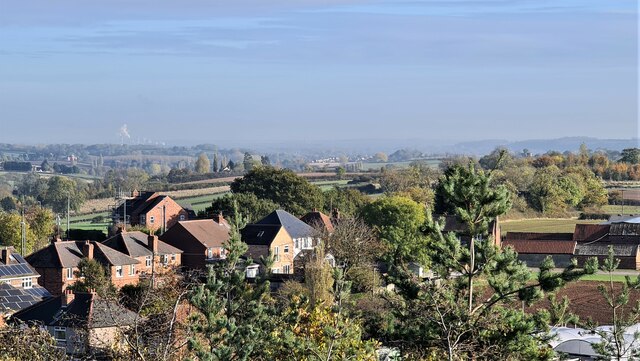
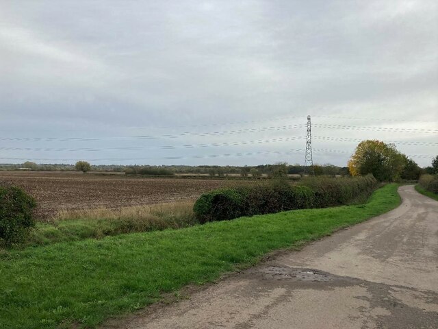
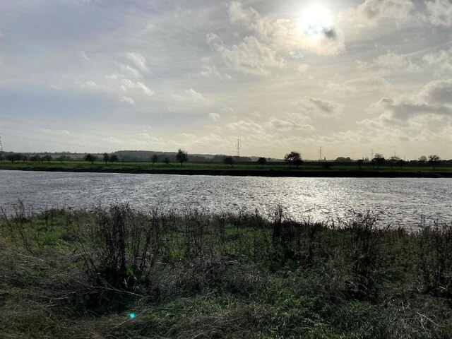
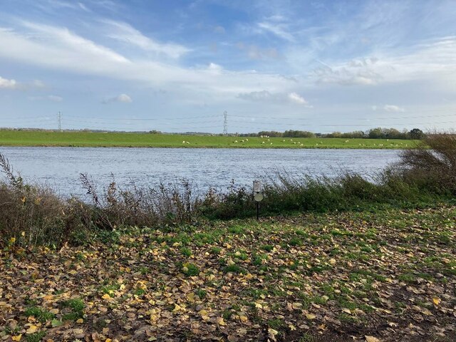
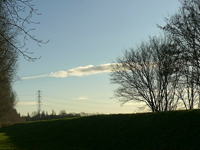
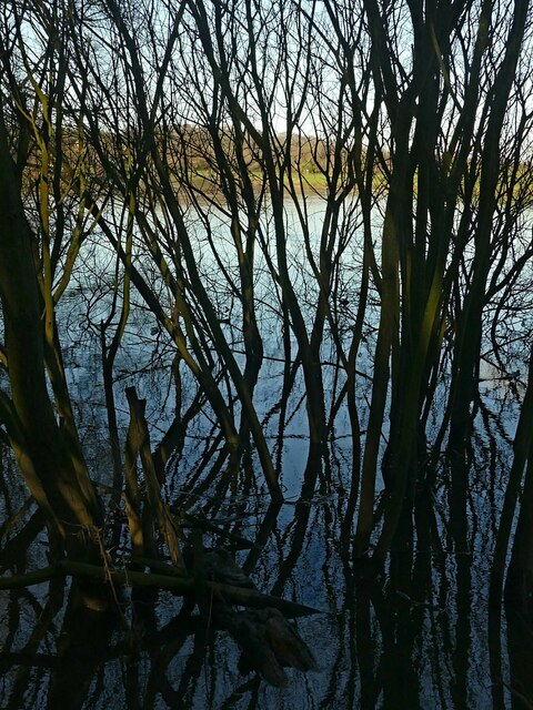
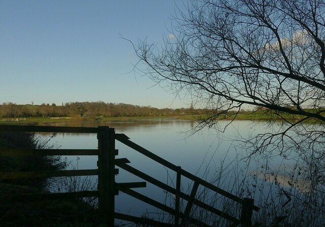
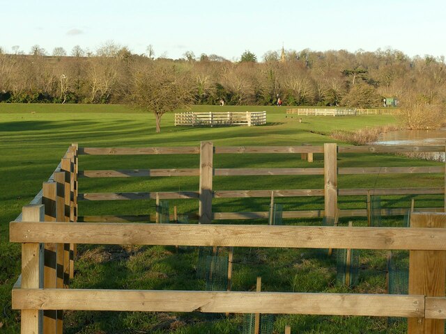
The Grove, located in Nottinghamshire, England, is a beautiful woodland area that is renowned for its picturesque landscapes and rich biodiversity. Covering an expansive area of lush greenery, this forest is a true haven for nature enthusiasts and those seeking tranquility.
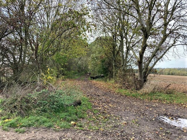
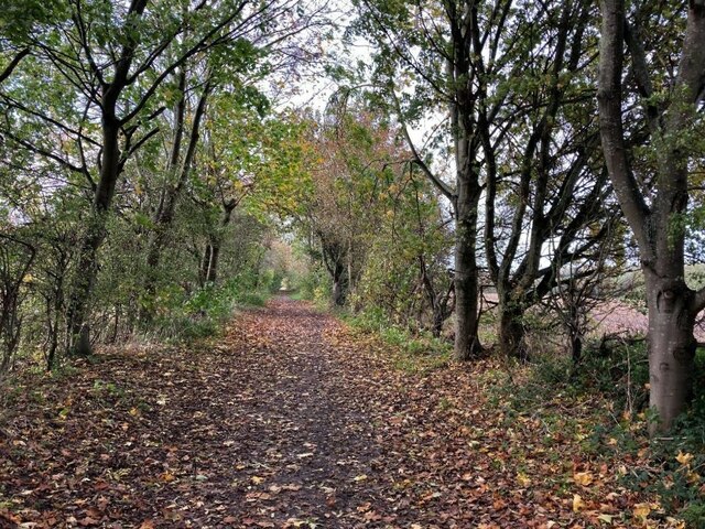
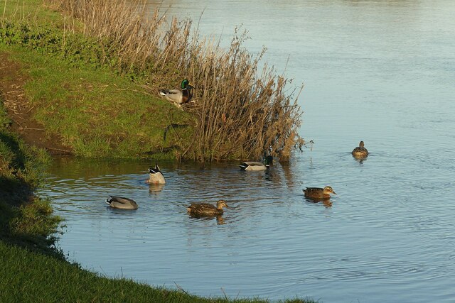
The Grove is home to a diverse range of flora and fauna, with majestic oak and beech trees dominating the landscape. These ancient trees provide shelter for a wide variety of wildlife, including deer, foxes, and a plethora of bird species, making it a paradise for birdwatchers and animal lovers alike.
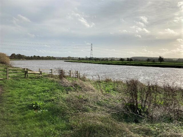
Walking through The Grove, visitors are greeted by a carpet of wildflowers, such as bluebells and primroses, during the spring months, creating a vibrant and colorful tapestry. The forest is crisscrossed with well-maintained trails, allowing visitors to explore its beauty at their own pace. These trails lead to hidden gems like serene ponds and babbling brooks, offering a sense of serenity and peace.
The Grove is also steeped in history, with remnants of ancient settlements and burial mounds dating back to the Iron Age scattered throughout the forest. Archaeological enthusiasts can immerse themselves in the rich history of the area, uncovering the secrets of its past.
Overall, The Grove in Nottinghamshire is a natural gem that offers a perfect escape from the hustle and bustle of everyday life. Whether it's a leisurely stroll, birdwatching, or delving into the area's history, this woodland paradise has something to offer for everyone.
If you have any feedback on the listing, please let us know in the comments section below.
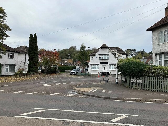
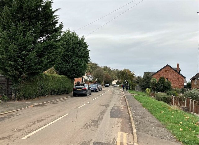
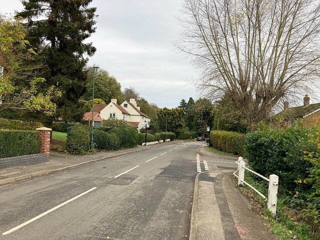
The Grove Images
Images are sourced within 2km of 52.98994/-1.0398248 or Grid Reference SK6444. Thanks to Geograph Open Source API. All images are credited.


The Grove is located at Grid Ref: SK6444 (Lat: 52.98994, Lng: -1.0398248)
Administrative County: Nottinghamshire
District: Gedling
Police Authority: Nottinghamshire
What 3 Words
///spreading.love.rewrites. Near Burton Joyce, Nottinghamshire
Nearby Locations
Related Wikis

United Reformed Church, Burton Joyce
The United Reformed Church (formerly known as the village's Congregationalist Church) is a now redundant Christian church that operated under the United...

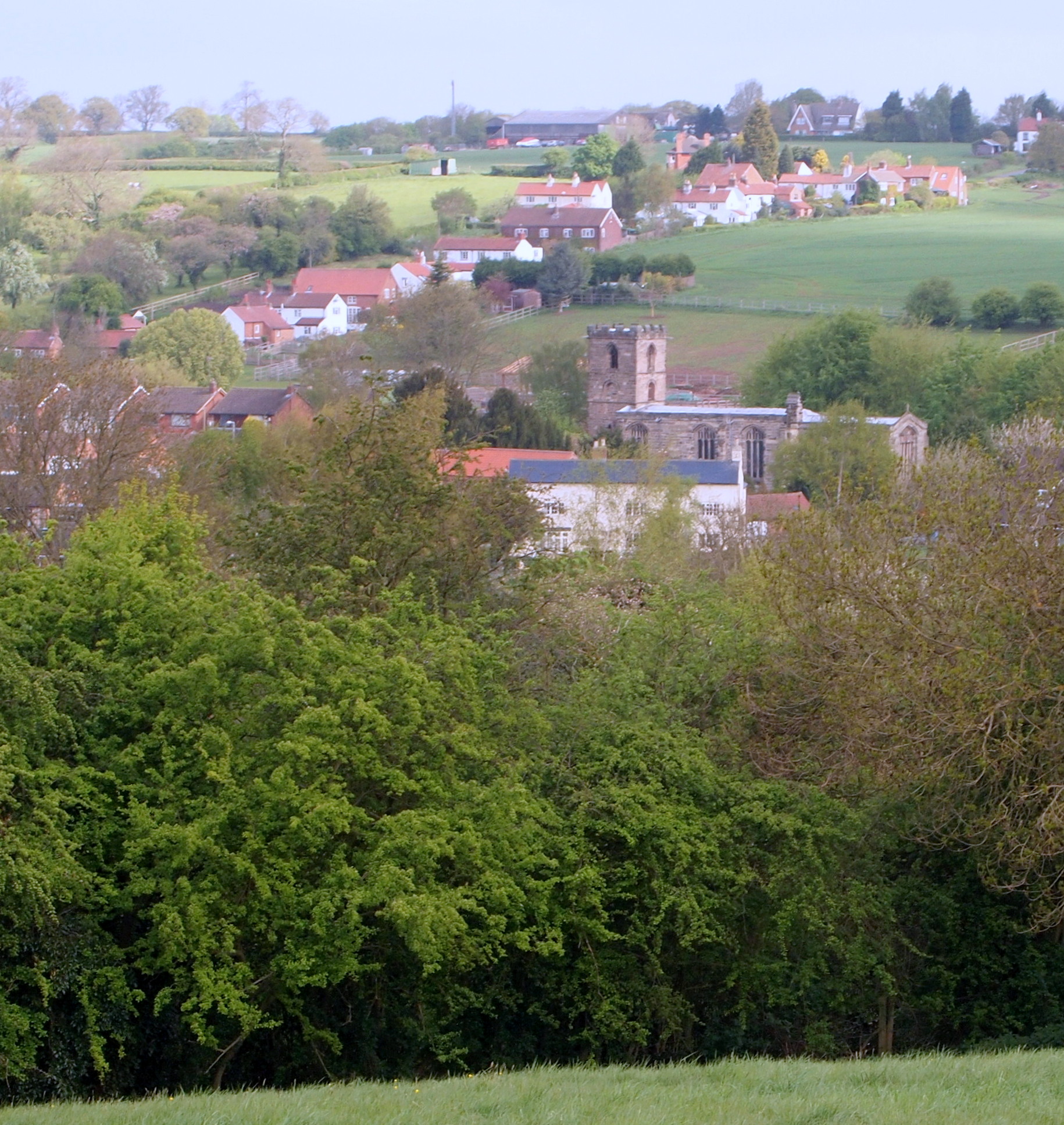
Burton Joyce
Burton Joyce () is a large village and civil parish in the Gedling district of Nottinghamshire, England, 7 miles (11 km) east of Nottingham, between Stoke...

St Helen's Church, Burton Joyce
St Helen's Church is a Grade I listed parish church in the Church of England in Burton Joyce, Nottinghamshire, England. == History == It was built in the...

Burton Joyce railway station
Burton Joyce railway station serves the village of Burton Joyce in Nottinghamshire, England. It lies between Carlton and Lowdham stations on the Nottingham...
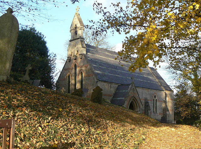
Holy Trinity Church, Bulcote
Holy Trinity Church, Bulcote is a Grade II listed parish church in the Church of England in Bulcote. == History == It was built in as a chapel of ease...

Bulcote
Bulcote is a village and civil parish in the Newark and Sherwood district of Nottinghamshire, England. According to the 2001 census it had a population...
Gedling Town F.C.
Gedling Town Football Club was a semi-professional football club based in Stoke Bardolph, Nottinghamshire, England. Founded in 1985 as R & R Scaffolding...
Lambley, Nottinghamshire
Lambley is an English village and civil parish near Nottingham, England, hardly touched by urbanisation, as it lies in a green belt. The population recorded...
Nearby Amenities
Located within 500m of 52.98994,-1.0398248Have you been to The Grove?
Leave your review of The Grove below (or comments, questions and feedback).