Down Wood
Wood, Forest in Hampshire Basingstoke and Deane
England
Down Wood
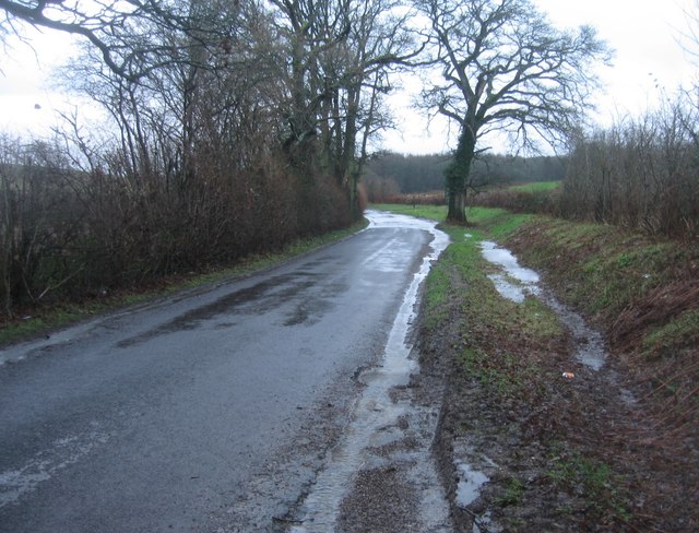
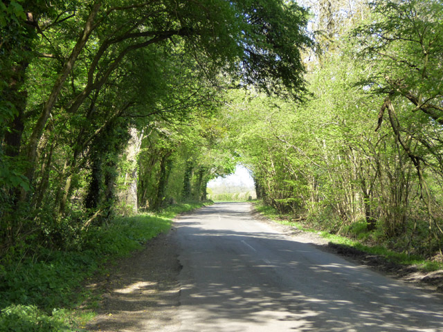
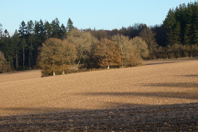
Down Wood is a picturesque forest located in the county of Hampshire, England. Spanning over several acres, it is a delightful woodland area that offers visitors a tranquil and serene escape from the hustle and bustle of city life.
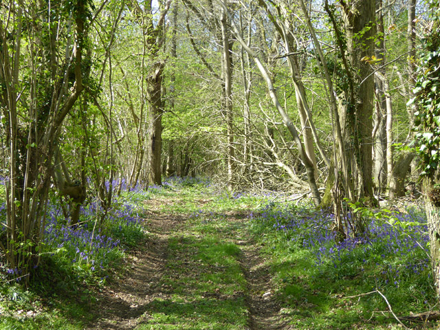
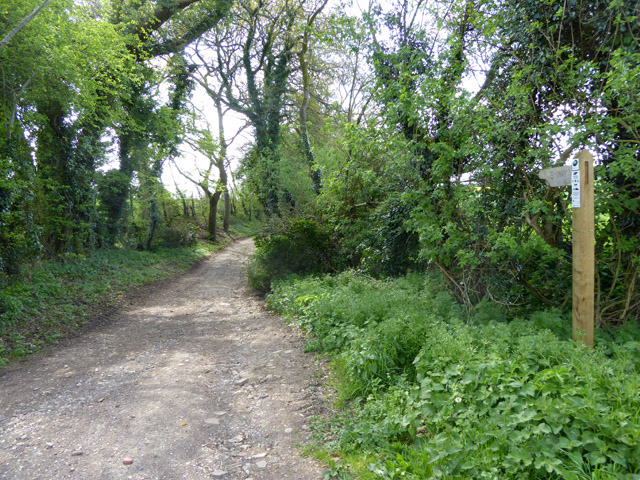
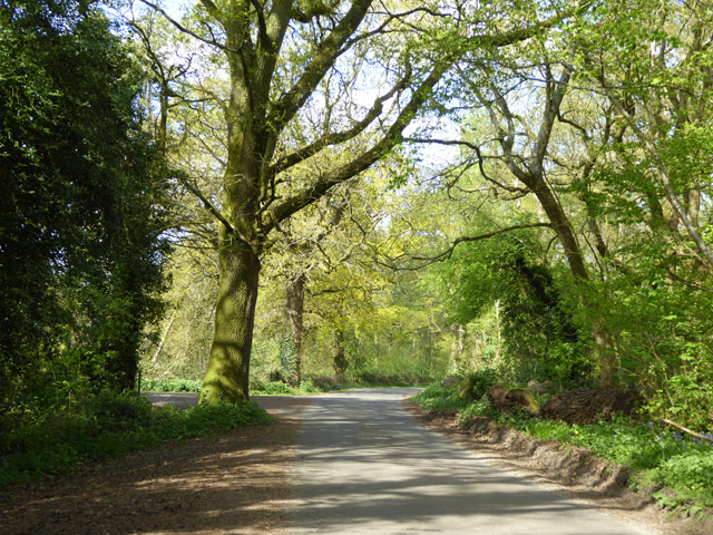
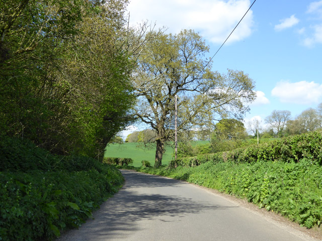
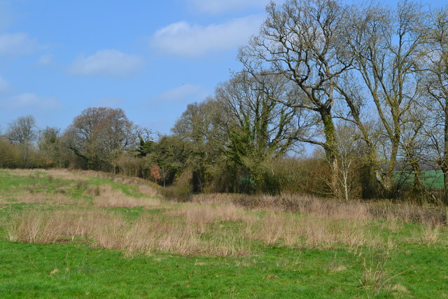
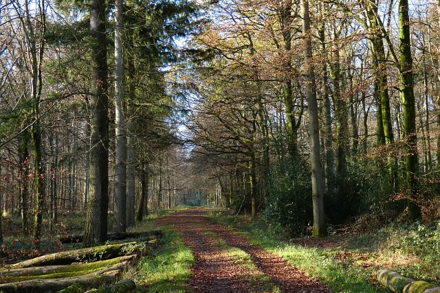
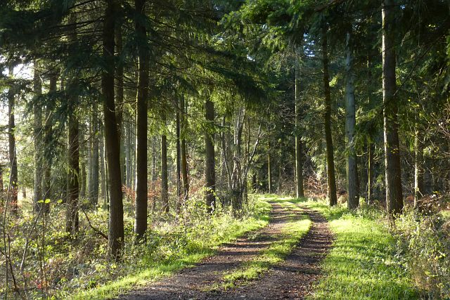
The wood is predominantly made up of towering oak trees, interspersed with beech and birch trees, creating a diverse and captivating landscape. The dense canopy provides ample shade during the summer months, making it an ideal spot for picnics and leisurely walks. The forest floor is covered in a thick carpet of moss, ferns, and wildflowers, adding to its natural charm.
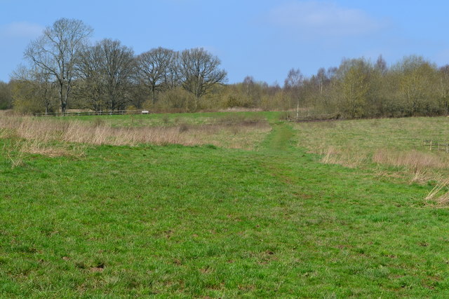
Down Wood is home to a variety of wildlife, including deer, foxes, and a wide range of bird species. Nature enthusiasts will delight in the opportunity to spot these creatures in their natural habitat. The forest also boasts a small stream that meanders through the trees, offering a soothing soundtrack to accompany one's exploration.
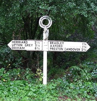
The wood is well-maintained with clearly marked trails, making it accessible to visitors of all ages and abilities. Along the paths, there are informative signposts that educate visitors about the various flora and fauna found in the area. Additionally, benches and picnic tables are strategically placed throughout the wood, allowing visitors to take a moment to appreciate the peaceful surroundings.
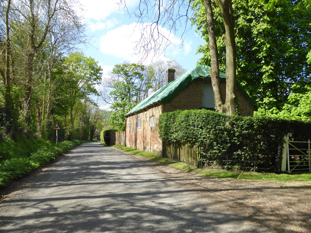
Located in close proximity to several villages and towns, Down Wood is a popular destination for both locals and tourists seeking a tranquil escape. With its lush greenery, diverse wildlife, and peaceful ambiance, it is a true gem in the heart of Hampshire.
If you have any feedback on the listing, please let us know in the comments section below.
Down Wood Images
Images are sourced within 2km of 51.183182/-1.0781157 or Grid Reference SU6443. Thanks to Geograph Open Source API. All images are credited.


Down Wood is located at Grid Ref: SU6443 (Lat: 51.183182, Lng: -1.0781157)
Administrative County: Hampshire
District: Basingstoke and Deane
Police Authority: Hampshire
What 3 Words
///putts.snuggled.shutting. Near Alton, Hampshire
Nearby Locations
Related Wikis

Burkham
Burkham is a hamlet in the large civil parish of Bentworth in Hampshire, England including a large country house, Burkham House. The nearest town is Alton...
Moundsmere
Moundsmere is a hamlet in Hampshire, England. It is in the civil parish of Preston Candover. It is 3 miles away from the village of Bentworth and lies...

Bradley, Hampshire
Bradley is a small village and civil parish in the Basingstoke and Deane district of Hampshire, England. Its nearest town is Alton, which lies 5.4 miles...

Tickley
Tickley is a small hamlet in the large civil parish of Bentworth in Hampshire, England. It is considered a part of neighbouring Burkham which is situated...
Bagmore
Bagmore is a village in Hampshire, England.
Bentworth and Lasham railway station
Bentworth and Lasham railway station in Hampshire, England was on the Basingstoke and Alton Light Railway between the villages of Bentworth to the south...
Ashley, East Hampshire
Ashley is a hamlet in the large civil parish of Bentworth in the East Hampshire district of Hampshire, England. Its nearest town is Alton, which lies approximately...
Lower Wield
Lower Wield is a village in the East Hampshire district of Hampshire, England. It is in the civil parish of Wield. It is 1.8 miles (2.9 km) west of the...
Nearby Amenities
Located within 500m of 51.183182,-1.0781157Have you been to Down Wood?
Leave your review of Down Wood below (or comments, questions and feedback).