Dymock
Settlement in Gloucestershire Forest of Dean
England
Dymock
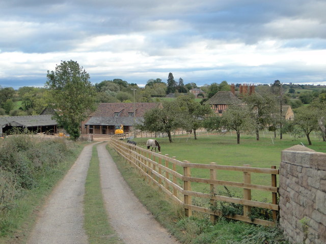
Dymock is a small village located in the county of Gloucestershire, England. Situated near the border of Herefordshire, it lies approximately 5 miles south of Ledbury and 6 miles east of Newent. The village is nestled in the picturesque countryside of the Dymock Forest, a designated Area of Outstanding Natural Beauty.
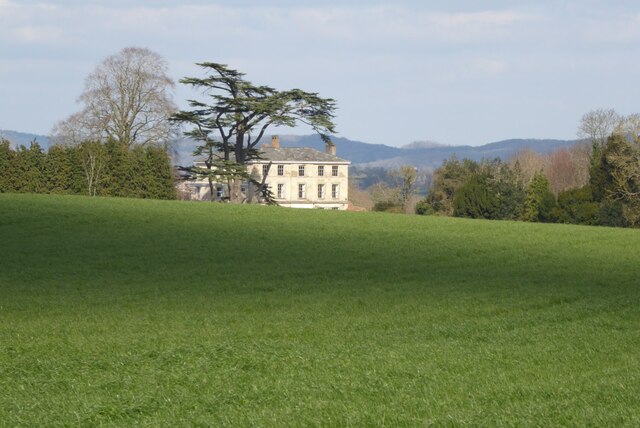
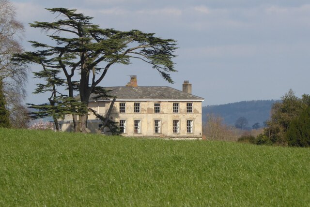
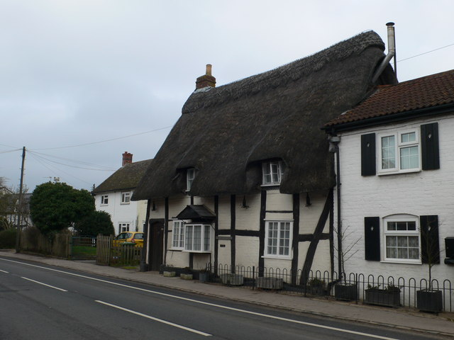
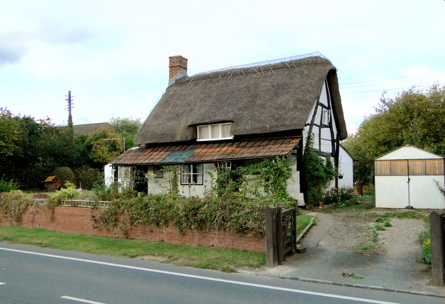
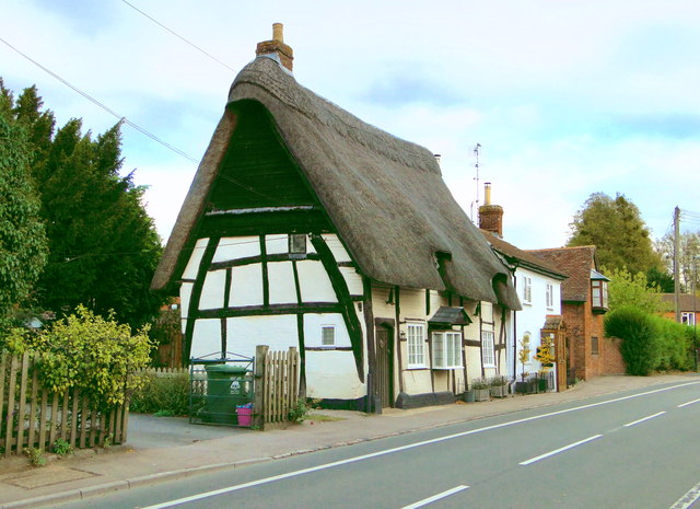
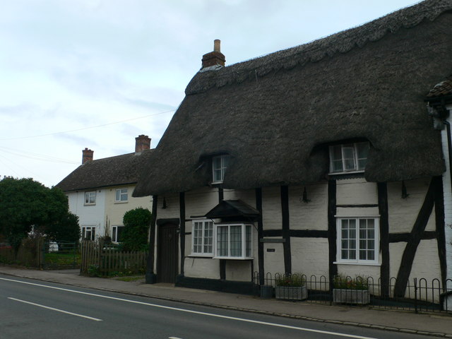
Dymock is known for its rich history, dating back to the Roman times. The village was mentioned in the Domesday Book of 1086 and has retained its traditional charm throughout the centuries. Its architecture showcases a mix of styles, from timber-framed cottages to Georgian and Victorian houses.
The village has a close-knit community, with a population of around 1,000 residents. It offers a range of amenities, including a primary school, a village hall, and a parish church dedicated to St. Mary the Virgin. The church, built in the 14th century, features stunning stained glass windows and intricate stone carvings.
Dymock is also renowned for its association with the Dymock Poets, a group of early 20th-century writers who found inspiration in the village's natural beauty. Poets such as Robert Frost, Rupert Brooke, and Edward Thomas frequently gathered in Dymock, leaving behind a literary heritage that is celebrated to this day.
The surrounding countryside provides ample opportunities for outdoor activities, including walking, cycling, and horse riding. The Dymock Forest offers peaceful woodland trails, while nearby May Hill provides stunning panoramic views of the surrounding landscape.
Overall, Dymock is a charming village steeped in history and natural beauty, offering a tranquil and idyllic setting for residents and visitors alike.
If you have any feedback on the listing, please let us know in the comments section below.
Dymock Images
Images are sourced within 2km of 51.978449/-2.439401 or Grid Reference SO6931. Thanks to Geograph Open Source API. All images are credited.


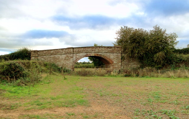

![Site of Dymock station The platform edge and the bridge are all that remain of one of the most picturesque of Great Western branchline stations. Clark's standard work on GW stations shows it in its heyday [page 62]. The bridge has recently been rebuilt and will one day span the Hereford to Gloucester canal on whose route the Ledbury to Gloucester line was built in the 1880s. The line was built by the Newent Railway, but absorbed into the GWR in 1892.](https://s3.geograph.org.uk/geophotos/02/66/86/2668651_e025f728.jpg)

Dymock is located at Grid Ref: SO6931 (Lat: 51.978449, Lng: -2.439401)
Administrative County: Gloucestershire
District: Forest of Dean
Police Authority: Gloucestershire
What 3 Words
///wage.care.greet. Near Donnington, Herefordshire
Nearby Locations
Related Wikis

Dymock
Dymock is a village and civil parish in the Forest of Dean district of Gloucestershire, England, about four miles south of Ledbury. In 2014 the parish...

Dymock railway station
Dymock railway station was a stop on the former Ledbury and Gloucester Railway. It opened in 1885 and served the Gloucestershire village of Dymock. It...
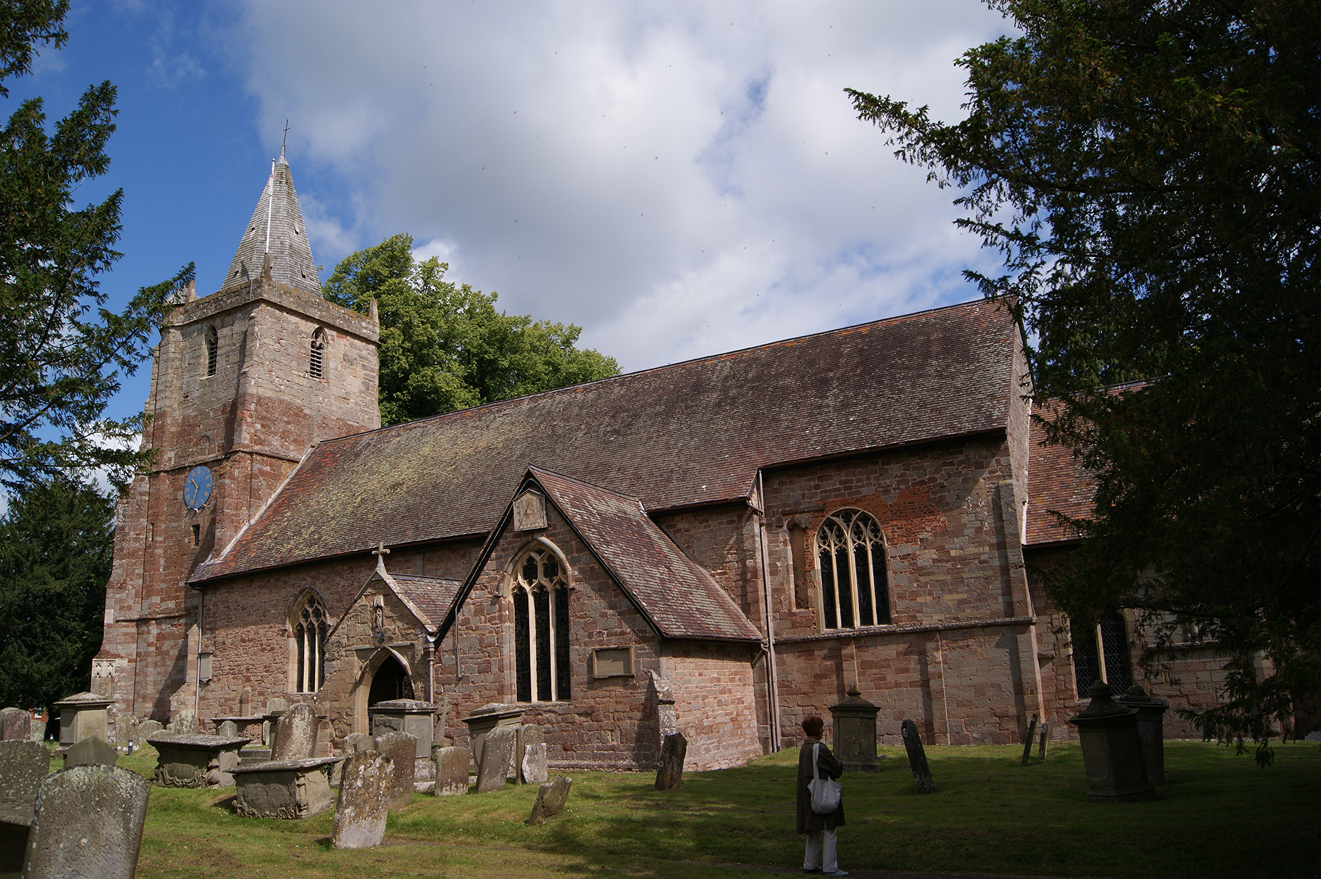
St Mary's Church, Dymock
St Mary's Church, Dymock is a Church of England parish church in the center of the village of Dymock in Gloucestershire, England. It is a Grade I listed...

Four Oaks Halt railway station
Four Oaks Halt was a request stop on the former Ledbury and Gloucester Railway. It was located 2 miles north of Newent. The station opened on 16 October...
Nearby Amenities
Located within 500m of 51.978449,-2.439401Have you been to Dymock?
Leave your review of Dymock below (or comments, questions and feedback).