Bradford's Clump

Wood, Forest in Hampshire Winchester

England

Bradford's Clump

West Meon Trail and Picnic Area The disused railway station platforms are clearly visible. The picnic area and adjacent car park occupy the former goods yards.
West Meon Trail and Picnic Area Credit: Paul Collins

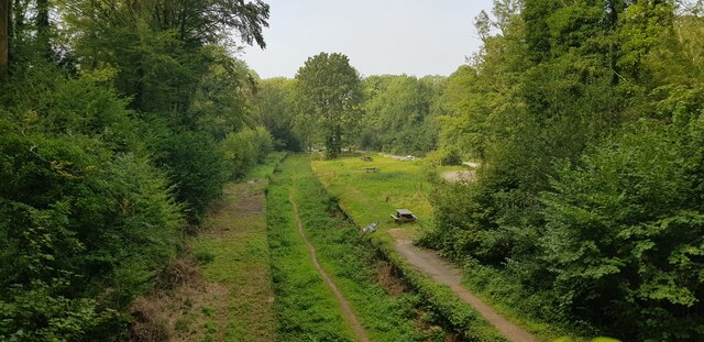
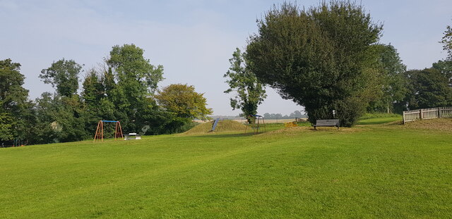
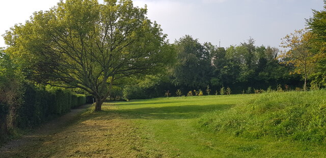
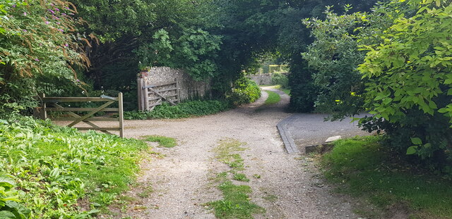
Bradford's Clump is a picturesque woodland located in Hampshire, England. Spread across an area of approximately 50 acres, this ancient forest is part of the larger New Forest National Park. The woodland is named after the nearby village of Bradford, and it has a rich history dating back centuries.

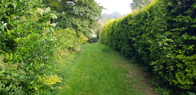
The Clump is predominantly composed of broadleaf trees such as oak, beech, and birch, creating a diverse and vibrant ecosystem. The dense canopy provides a haven for a wide variety of bird species, including woodpeckers, owls, and various songbirds. Additionally, the forest floor is adorned with an array of wildflowers and ferns, adding to its natural beauty.

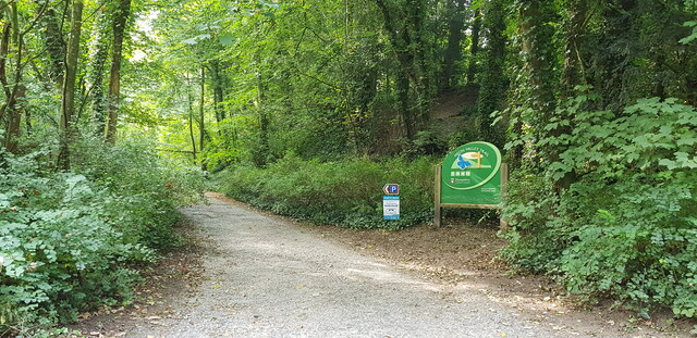
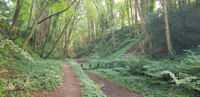
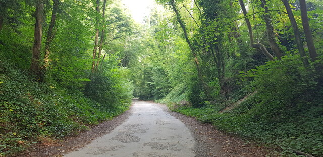
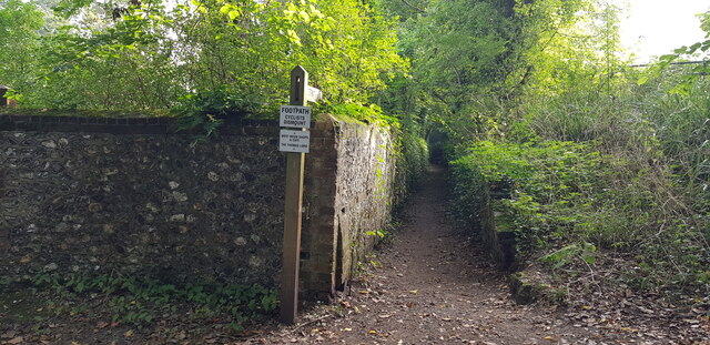
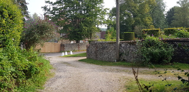
The woodland is crisscrossed with a network of well-maintained footpaths, allowing visitors to explore the forest at their own pace. The paths lead to several hidden clearings and ponds, providing tranquil spots for picnicking or simply enjoying the peaceful surroundings. Wildlife enthusiasts can also spot various mammals, such as deer, rabbits, and squirrels, which inhabit the forest.

Bradford's Clump is a popular destination for nature lovers, hikers, and photographers, offering a peaceful retreat from the hustle and bustle of everyday life. The forest's serene ambiance, combined with its stunning natural scenery, makes it an ideal place for relaxation and rejuvenation. Whether one is seeking a leisurely stroll, a family outing, or a chance to immerse oneself in nature, Bradford's Clump is the perfect destination.

If you have any feedback on the listing, please let us know in the comments section below.

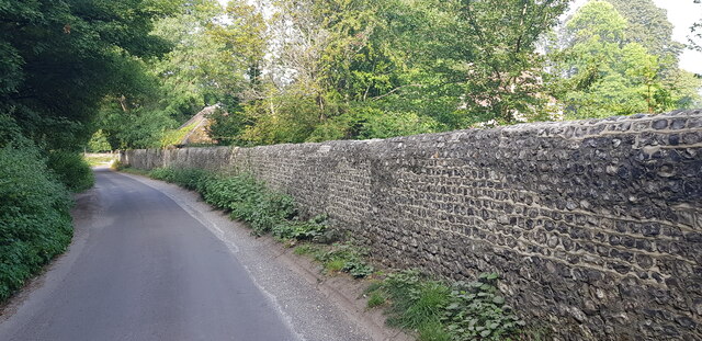
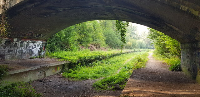
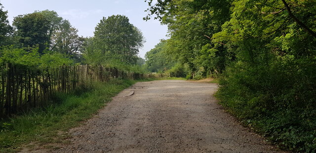
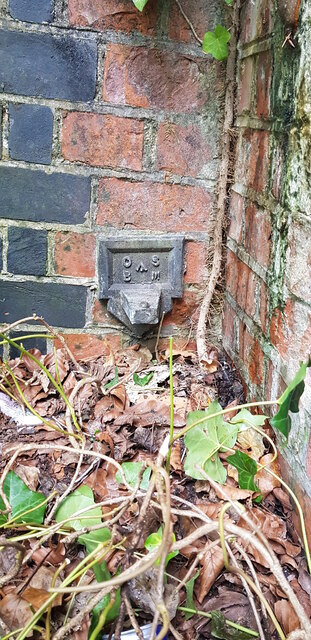
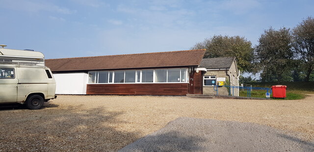
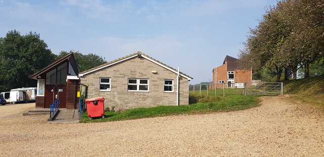
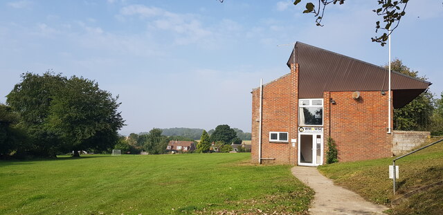
Bradford's Clump Images

Images are sourced within 2km of 51.005754/-1.0838453 or Grid Reference SU6423. Thanks to Geograph Open Source API. All images are credited.

West Meon Trail and Picnic Area The disused railway station platforms are clearly visible. The picnic area and adjacent car park occupy the former goods yards.
West Meon Trail and Picnic Area
The disused railway station platforms are clearly visible. The picnic area and adjacent car park occupy the former goods yards.
Access to West Meon Trail This entrance leads to a car park and picnic area. It was formerly the access to West Meon Station.
Access to West Meon Trail
This entrance leads to a car park and picnic area. It was formerly the access to West Meon Station.
West Meon Trail This image is captured from the platform of the long-disused West Meon Railway Station.
West Meon Trail
This image is captured from the platform of the long-disused West Meon Railway Station.
Bridge Parapet with Cut Benchmark Here, Station Road crosses the West Meon Trail, formerly a railway.
Bridge Parapet with Cut Benchmark
Here, Station Road crosses the West Meon Trail, formerly a railway.
Flint Wall in Station Road
Underside of Bridge, West Meon Trail Here, Station Road crosses the West Meon Trail, formerly the village railway station.
Underside of Bridge, West Meon Trail
Here, Station Road crosses the West Meon Trail, formerly the village railway station.
Car Park at West Meon Trail The car park is on the site of the former goods yard of West Meon Railway Station. The main station building stood on the left, where the fence is.
Car Park at West Meon Trail
The car park is on the site of the former goods yard of West Meon Railway Station. The main station building stood on the left, where the fence is.
Access Road to West Meon Trail This drive serves the carpark and picnic area of the West Meon Trail. It was built to serve the West Meon railway station and goods yard, now long gone.
Access Road to West Meon Trail
This drive serves the carpark and picnic area of the West Meon Trail. It was built to serve the West Meon railway station and goods yard, now long gone.
Projecting Bracket Bench Mark on Bridge at Former Station A projecting bracket is a rare type of bench mark and a predecessor of the more common 'Flush Bracket'. Bench marks were semi-permanent markers installed by the Ordnance Survey as part of the levelling of Great Britain. This bracket is found on the bridge abutment which carries Station Road over the former West Meon Railway Station platform. This bracket was installed in 1912 and levelled with a height of 321.6620 feet above mean sea level.
Projecting Bracket Bench Mark on Bridge at Former Station
A projecting bracket is a rare type of bench mark and a predecessor of the more common 'Flush Bracket'. Bench marks were semi-permanent markers installed by the Ordnance Survey as part of the levelling of Great Britain. This bracket is found on the bridge abutment which carries Station Road over the former West Meon Railway Station platform. This bracket was installed in 1912 and levelled with a height of 321.6620 feet above mean sea level.
West Meon Village Hall
West Meon Village Hall A sports pavilion can be seen to the right of the hall.
West Meon Village Hall
A sports pavilion can be seen to the right of the hall.
Sports Pavilion at West Meon Recreation Ground
West Meon Recreation Ground
Start of Footpath off Station Road A sign entices us to use the path to visit the pub, café and shops. See also <a href="https://www.geograph.org.uk/photo/620057">SU6423 : Sunken footpath, West Meon</a>.
Start of Footpath off Station Road
A sign entices us to use the path to visit the pub, café and shops. See also SU6423 : Sunken footpath, West Meon.
Love Lane Meets Station Road West Meon House can be glimpsed in the background.
Love Lane Meets Station Road
West Meon House can be glimpsed in the background.
Love Lane, West Meon
Love Lane, West Meon At this point Love Lane makes a zig-zag and has the character of a garden, being neatly mown grass.
Love Lane, West Meon
At this point Love Lane makes a zig-zag and has the character of a garden, being neatly mown grass.
Show me another place!

Bradford's Clump is located at Grid Ref: SU6423 (Lat: 51.005754, Lng: -1.0838453)

Administrative County: Hampshire

District: Winchester

Police Authority: Hampshire

What 3 Words

///storybook.weeks.seaweed. Near Swanmore, Hampshire

Nearby Locations

Bradford's Clump

Related Wikis

West Meon railway station

West Meon railway station was an intermediate station on the Meon Valley line which ran from Alton to Fareham during the first half of the 20th century...

West Meon

West Meon is a village and civil parish in Hampshire, England, with a population of 749 people at the 2011 census. == Geography == It is 2+3⁄4 miles (4...

Chappetts Copse

Chappetts Copse is a 12-hectare (30-acre) nature reserve east of West Meon in Hampshire. It is owned and managed by the Hampshire and Isle of Wight Wildlife...

Westbury House

Westbury House is a country house south of West Meon Road between East Meon and West Meon in Hampshire, England. The house was built in the Palladian style...

Peake Wood

Peake Wood is a 17.7-hectare (44-acre) biological Site of Special Scientific Interest west of Petersfield in Hampshire.This is a prime example of a hazel...

Warnford

Warnford is a village and civil parish in the City of Winchester district of Hampshire, England. The parish covers 1283 hectares (3170 acres). The village...

Henwood Down

Henwood Down is one of the highest points in the county of Hampshire, England, and in the South Downs, reaching a height of 201 metres (659 ft) above sea...

East Hampshire AONB

East Hampshire Area of Outstanding Natural Beauty (AONB) in England was designated in 1962. The designation was revoked in March 2010, together with the...

Nearby Amenities

Located within 500m of 51.005754,-1.0838453
West Meon
Historic Railway: station
Railway: site
Wikidata: Q7985890
Wikipedia: en:West Meon railway station
Lat/Long: 51.0088499/-1.0854773
Covered: no
Leisure: picnic_table
Lat/Long: 51.0086119/-1.0862121
Covered: no
Leisure: picnic_table
Lat/Long: 51.0086954/-1.0860012
Covered: no
Leisure: picnic_table
Lat/Long: 51.0088172/-1.0856951
The data included in this document is from www.openstreetmap.org. The data is made available under ODbL.

Have you been to Bradford's Clump?

Leave your review of Bradford's Clump below (or comments, questions and feedback).