Pickling Yard Plantation
Wood, Forest in Hampshire Basingstoke and Deane
England
Pickling Yard Plantation
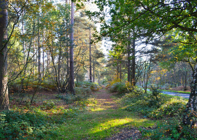
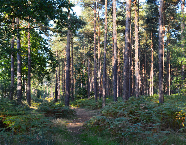
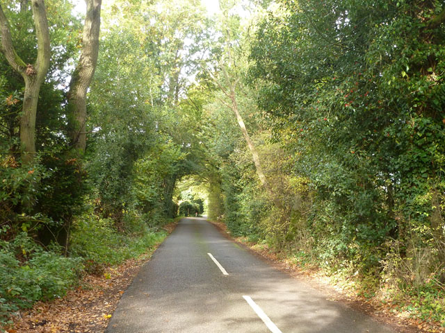
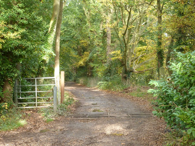
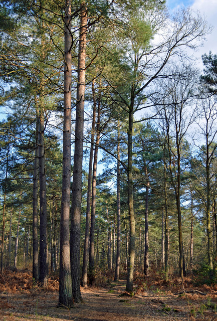
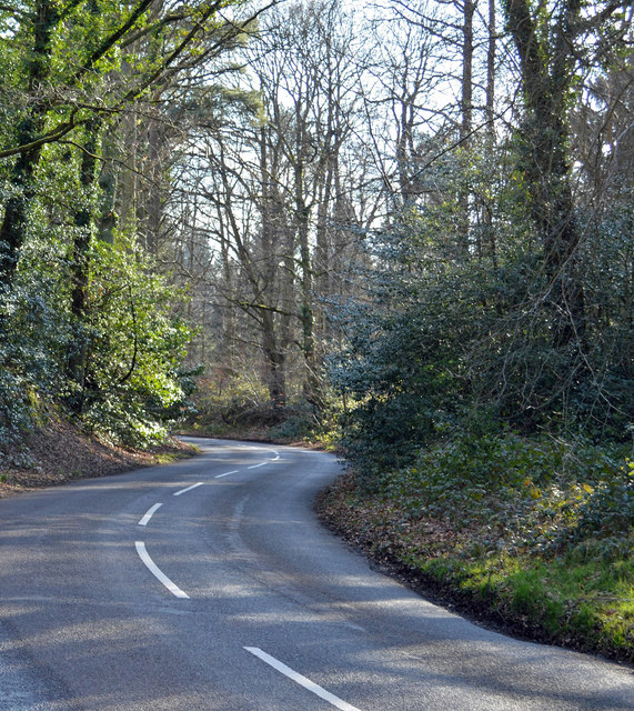
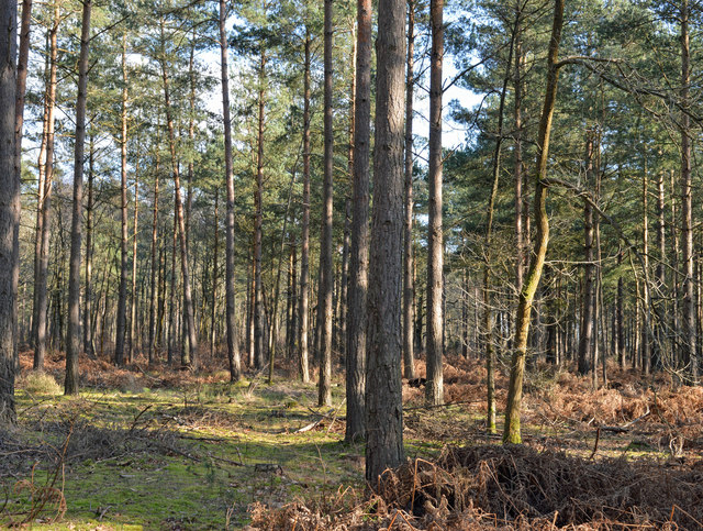
Pickling Yard Plantation is a picturesque woodland located in Hampshire, England. Situated in the heart of the county, the plantation covers a vast area of approximately 500 acres. It is known for its dense and diverse forest, which is home to a wide variety of flora and fauna.
The plantation is primarily composed of deciduous trees, including oak, beech, and birch, which form a stunning canopy overhead. These trees provide a rich habitat for a range of wildlife, such as deer, foxes, and numerous bird species. The forest floor is adorned with a carpet of wildflowers and ferns, creating a vibrant and enchanting atmosphere.
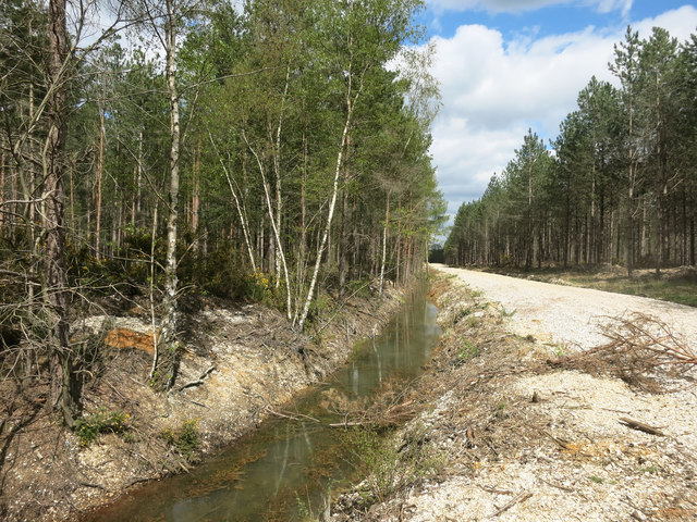
Pickling Yard Plantation is a popular destination for nature enthusiasts and outdoor lovers. It offers numerous walking trails that wind through the woodland, allowing visitors to immerse themselves in the tranquility of the surroundings. The plantation is also home to a diverse range of plant species, including rare orchids and other wildflowers, making it a haven for botany enthusiasts.
In addition to its natural beauty, Pickling Yard Plantation holds historical significance. It has been managed and maintained by the local community for generations, with records dating back to the early 19th century. The plantation has witnessed various land use changes over the years, from timber production to recreational purposes, but has always remained a cherished part of Hampshire's landscape.
Overall, Pickling Yard Plantation offers a serene escape from the bustling city life, providing a sanctuary for both nature and history lovers alike. Its lush forest, abundant wildlife, and rich heritage make it a truly remarkable destination for anyone seeking a connection with nature and a glimpse into Hampshire's past.
If you have any feedback on the listing, please let us know in the comments section below.
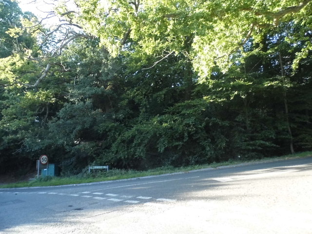
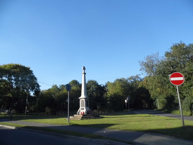
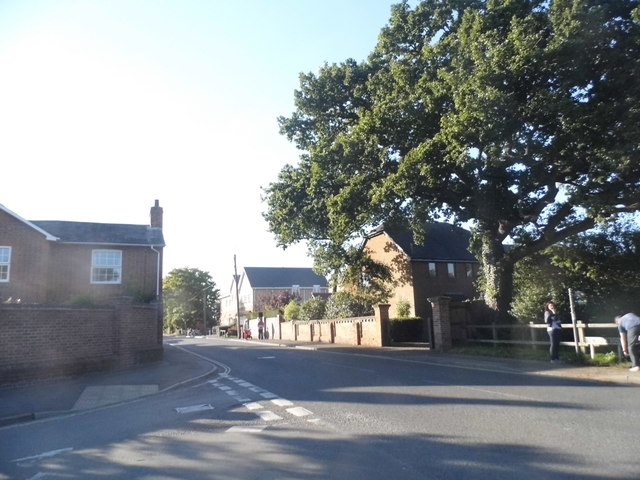
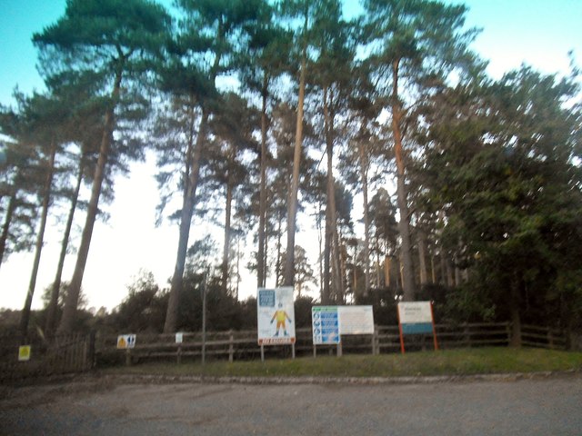
Pickling Yard Plantation Images
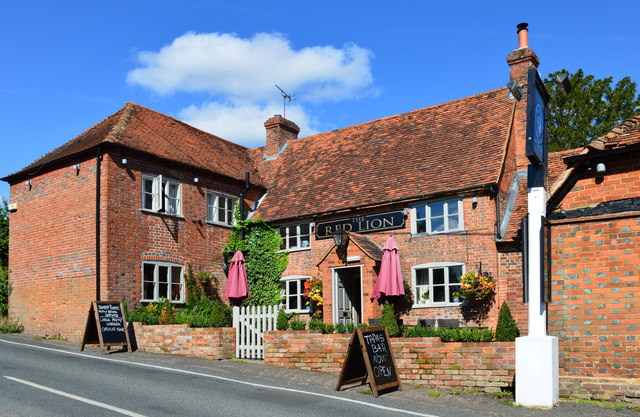
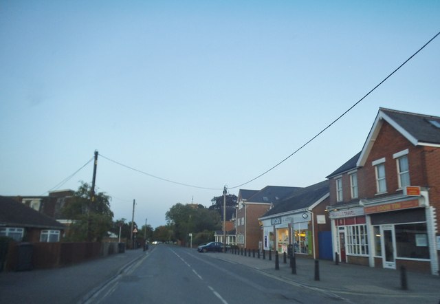
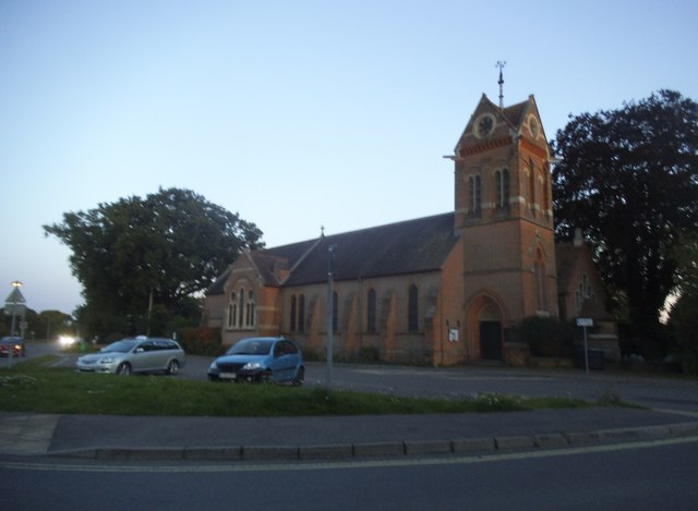
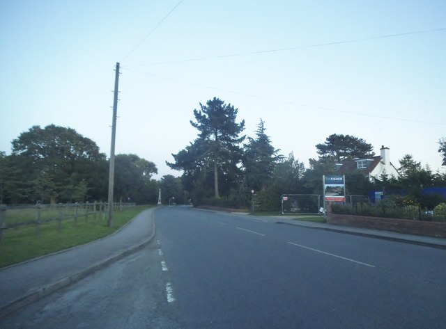
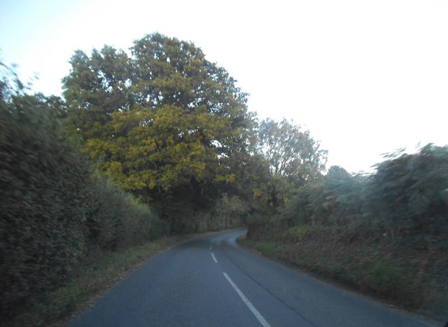
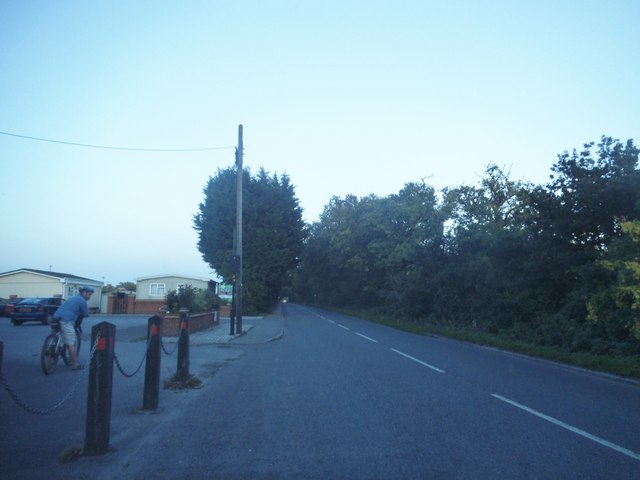
Images are sourced within 2km of 51.376954/-1.0795889 or Grid Reference SU6464. Thanks to Geograph Open Source API. All images are credited.
Pickling Yard Plantation is located at Grid Ref: SU6464 (Lat: 51.376954, Lng: -1.0795889)
Administrative County: Hampshire
District: Basingstoke and Deane
Police Authority: Hampshire
What 3 Words
///stage.money.gold. Near Stratfield Mortimer, Berkshire
Nearby Locations
Related Wikis

Mortimer Common
Mortimer Common, generally referred to as Mortimer, is a village in the civil parish of Stratfield Mortimer in Berkshire. Mortimer is in the local government...

Mortimer West End
Mortimer West End is a village and civil parish in north Hampshire in England. It lies in the northernmost point of the county. == History == At one time...

Mortimer War Memorial
The Mortimer War Memorial is a monument that commemorates the lives of soldiers from Stratfield Mortimer, Berkshire, England, who were killed in war....
Padworth Common
Padworth Common is a hamlet and common in the English county of Berkshire, within the civil parish of Padworth. It is bounded by Burghfield to the east...
Nearby Amenities
Located within 500m of 51.376954,-1.0795889Have you been to Pickling Yard Plantation?
Leave your review of Pickling Yard Plantation below (or comments, questions and feedback).