Tanat Valley

Settlement in Montgomeryshire

Wales

Tanat Valley
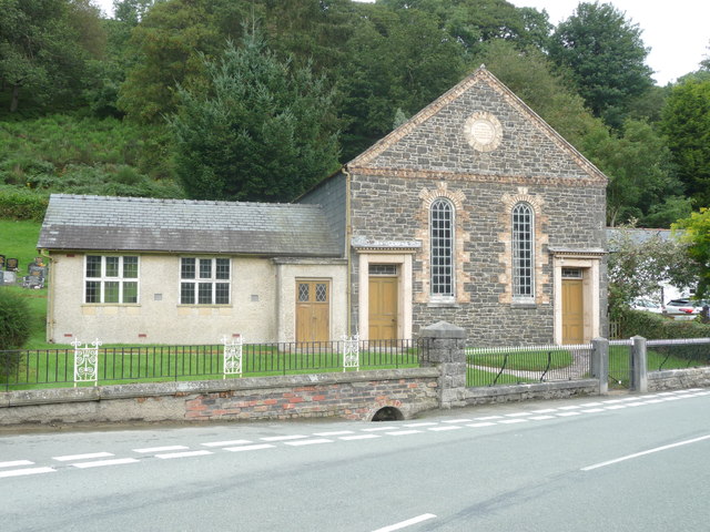
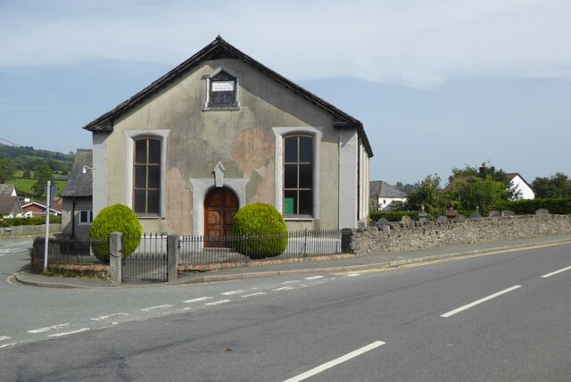
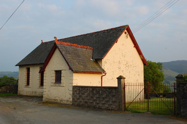
Carmel Wesleyan chapel in Penygarnedd A beautiful roadside chapel.
Carmel Wesleyan chapel in Penygarnedd Credit: Jeremy Bolwell

The requested URL returned error: 429 Too Many Requests

If you have any feedback on the listing, please let us know in the comments section below.

Tanat Valley Images

Images are sourced within 2km of 52.81382/-3.344228 or Grid Reference SJ0924. Thanks to Geograph Open Source API. All images are credited.
Carmel Wesleyan chapel in Penygarnedd A beautiful roadside chapel.
Carmel Wesleyan chapel in Penygarnedd
A beautiful roadside chapel.
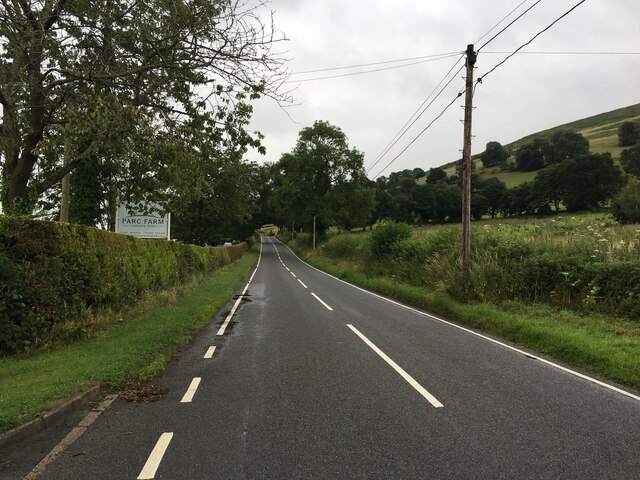
B4391 in the Tanat Valley
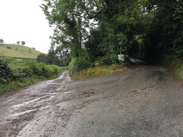
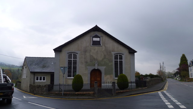
Road junction near Penygarnedd
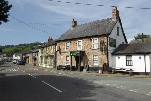
The Railway Inn, Penybontfawr The Railway Inn in the village of Penybontfawr is a reminder that this village was once connected to the railway network.  The railway was relatively short-lived here, the  Tanat Valley Light Railway arrived in 1904 and survived less than 50 years, closing in 1951.
The Railway Inn, Penybontfawr
The Railway Inn in the village of Penybontfawr is a reminder that this village was once connected to the railway network. The railway was relatively short-lived here, the Tanat Valley Light Railway arrived in 1904 and survived less than 50 years, closing in 1951.
Bethania Chapel, Penybontfawr This Bethania Chapel was built in 1867, replacing an early one dating from 1824.
Bethania Chapel, Penybontfawr
This Bethania Chapel was built in 1867, replacing an early one dating from 1824.
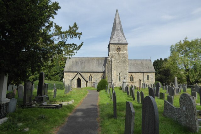
St Thomas Church, Penybontfawr Penybontfawr church is dedicated to St Thomas and it was designed by R.K. Penson in 1855.
St Thomas Church, Penybontfawr
Penybontfawr church is dedicated to St Thomas and it was designed by R.K. Penson in 1855.
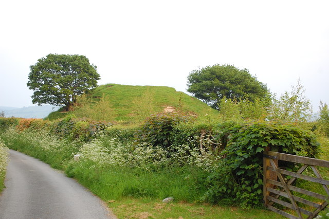
Motte at Cefn-coch A fine example of a motte; it is in a commanding position over the valley to the south. There are clear remains of a ditch around its base on the western side, but no sign of a bailey or other associated earthworks.
Motte at Cefn-coch
A fine example of a motte; it is in a commanding position over the valley to the south. There are clear remains of a ditch around its base on the western side, but no sign of a bailey or other associated earthworks.
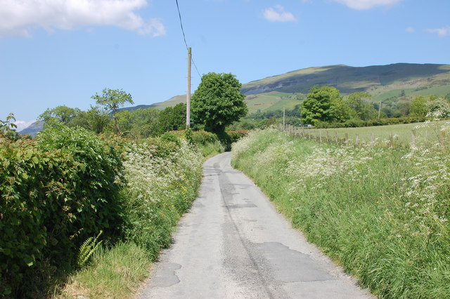
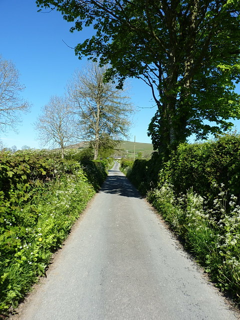
Lane at Ty-isaf Taken from close by Bellevue - the house at the road junction which provides B&B and a self-catering cottage.
Lane at Ty-isaf
Taken from close by Bellevue - the house at the road junction which provides B&B and a self-catering cottage.
Elim Chapel, Cefn-coch A Calvinist chapel built in 1839.
Elim Chapel, Cefn-coch
A Calvinist chapel built in 1839.
Uphill on a long straight near Ochr-y-ffordd
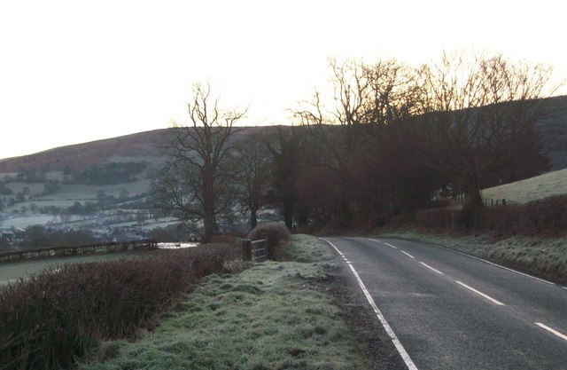
The B4391 Langynog to Penybont road
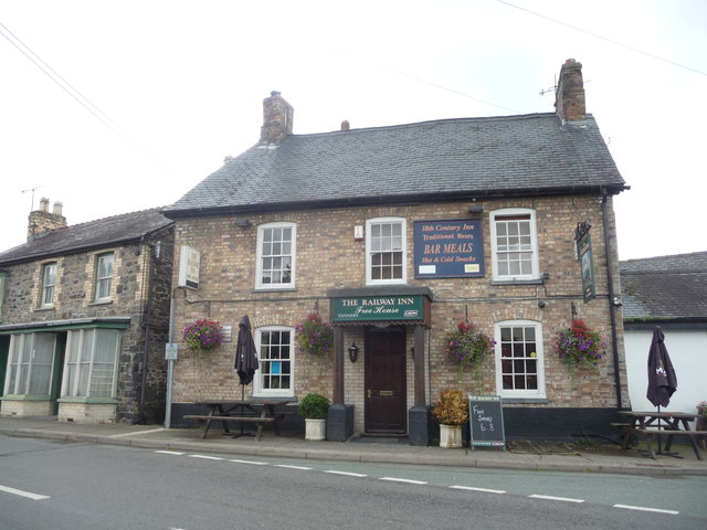
The Railway Inn, Penybontfawr A roadside hostelry, a Free House and they do food.
The Railway Inn, Penybontfawr
A roadside hostelry, a Free House and they do food.
Touring field
Touring field
Bethania chapel in Penybontfawr Old chapel, right opposite the pub.
Bethania chapel in Penybontfawr
Old chapel, right opposite the pub.
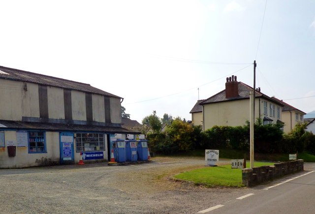
Garage forecourt, Penybontfawr
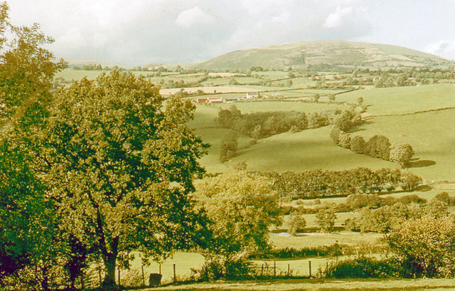
Northward across Tanat Valley from B4391 near Pen-y-bontfawr, 1975 Until July 1952, the ex-Cambrian Railway branch line from Oswestry to Llangynog used to run along below here beside the River Tanat on its north side. Towering beyond is Glan Hafon (1,991 ft.).
Northward across Tanat Valley from B4391 near Pen-y-bontfawr, 1975
Until July 1952, the ex-Cambrian Railway branch line from Oswestry to Llangynog used to run along below here beside the River Tanat on its north side. Towering beyond is Glan Hafon (1,991 ft.).
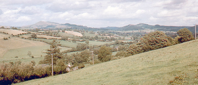
Eastward down Tanat Valley on B4391 near Pen-y-bontfawr, 1975 Taken from the same spot as <a href="https://www.geograph.org.uk/photo/4968918">SJ0725 : Northward across Tanat Valley from B4391 near Pen-y-bontfawr, 1975</a>, in the distance are peaks of the Berwyn Mountains: Moel Sych (2,713 ft.) and Craig Berwyn (2,288 ft.).
Eastward down Tanat Valley on B4391 near Pen-y-bontfawr, 1975
Taken from the same spot as SJ0725 : Northward across Tanat Valley from B4391 near Pen-y-bontfawr, 1975, in the distance are peaks of the Berwyn Mountains: Moel Sych (2,713 ft.) and Craig Berwyn (2,288 ft.).
Show me another place!

Tanat Valley is located at Grid Ref: SJ0924 (Lat: 52.81382, Lng: -3.344228)

Unitary Authority: Powys

Police Authority: Dyfed Powys

Also known as: Dyffryn Tanat

What 3 Words

///songbird.less.bungalows. Near Llanrhaeadr-ym-Mochnant, Powys

Nearby Locations

Tanat Valley Dyffryn Tanat

Related Wikis

Penybontfawr railway station

Penybontfawr railway station was a station on the Tanat Valley Light Railway in Pen-y-bont-fawr, Powys, Wales. The station opened in 1904 and closed in...

Pen-y-Bont-Fawr

Pen-y-Bont-Fawr (or Penybontfawr) is a small village and community in Montgomeryshire, Powys, Wales located in the Tanat valley. In the 2011 UK Census...

Pedairffordd Halt railway station

Pedairffordd Halt railway station (alternatively Pedair-Ffordd Halt) was a station on the Tanat Valley Light Railway, located 1.3 miles south of Llanrhaeadr...

Llanrhaeadr F.C.

Llanrhaeadr Football Club is a Welsh football club based in Llanrhaeadr-ym-Mochnant, Powys. They currently play in the Ardal NE. The home colours are blue...

Nearby Amenities

Located within 500m of 52.81382,-3.344228
Penybontfawr
Abandoned Railway: station
Railway: site
Lat/Long: 52.812887/-3.3514594
Place: farm
Lat/Long: 52.8160715/-3.3379723
Place: farm
Lat/Long: 52.8159839/-3.3428169
Building: yes
Lat/Long: 52.8143652/-3.3490665
Place: farm
Lat/Long: 52.8158759/-3.3397716
The data included in this document is from www.openstreetmap.org. The data is made available under ODbL.

Have you been to Tanat Valley?

Leave your review of Tanat Valley below (or comments, questions and feedback).