Evershaw Copse
Wood, Forest in Buckinghamshire
England
Evershaw Copse
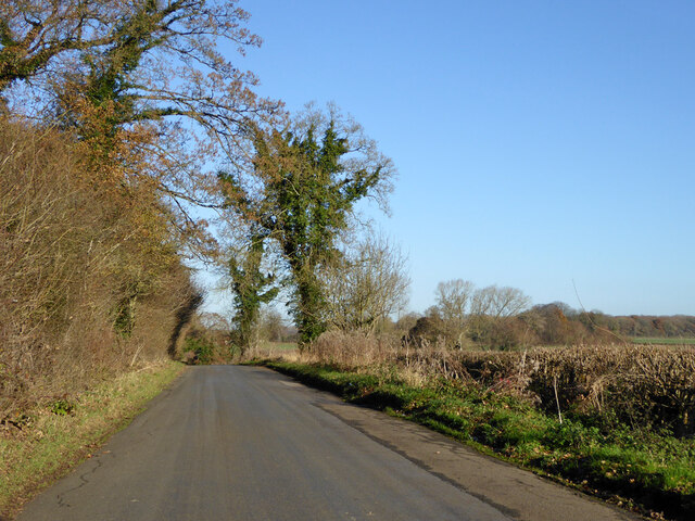
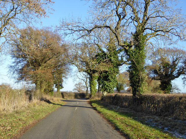
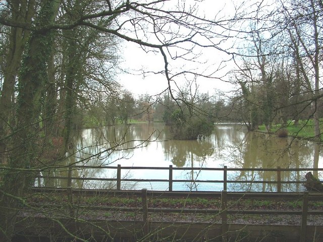
Evershaw Copse is a picturesque woodland located in the county of Buckinghamshire, England. Covering an area of approximately 50 acres, it is nestled within the Chiltern Hills, a designated Area of Outstanding Natural Beauty.
The copse is primarily composed of broadleaf trees, including oak, beech, and ash, which create a stunning canopy that filters sunlight and creates a tranquil atmosphere. The forest floor is carpeted with a diverse range of flora, such as bluebells, primroses, and wild garlic, which add bursts of color during the spring and summer months.
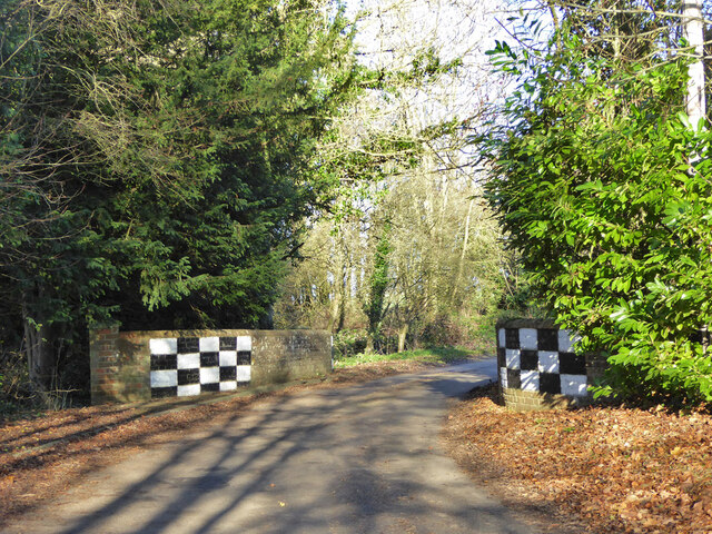
The woodland is crisscrossed by a network of well-maintained footpaths, making it a popular destination for walkers, nature enthusiasts, and dog owners. These paths lead visitors through the heart of the copse, allowing them to immerse themselves in the beauty of the natural surroundings.
Evershaw Copse is also home to a variety of wildlife, including deer, foxes, badgers, and a plethora of bird species. Birdwatchers can spot woodpeckers, jays, and tawny owls, among others, in the treetops.
The copse is managed by the local authorities to ensure its conservation and protection. This includes regular maintenance of the footpaths, controlled logging to maintain a healthy ecosystem, and the preservation of habitats for the woodland's inhabitants.
Evershaw Copse's idyllic setting, diverse flora and fauna, and accessibility make it a cherished natural haven in Buckinghamshire, attracting visitors from near and far who seek solace and connection with nature.
If you have any feedback on the listing, please let us know in the comments section below.
Evershaw Copse Images
Images are sourced within 2km of 52.036902/-1.0688125 or Grid Reference SP6338. Thanks to Geograph Open Source API. All images are credited.


Evershaw Copse is located at Grid Ref: SP6338 (Lat: 52.036902, Lng: -1.0688125)
Unitary Authority: Buckinghamshire
Police Authority: Thames Valley
What 3 Words
///librarian.tomato.bulky. Near Tingewick, Buckinghamshire
Nearby Locations
Related Wikis
Shalstone
Shalstone is a village and civil parish in Buckinghamshire, England. It is located in the north of the county, about four miles north west of Buckingham...
Biddlesden Park
Biddlesden Park is a country house at Biddlesden in north-west Buckinghamshire. It is a Grade II* listed building. == History == The house, which lies...

Turweston Aerodrome
Turweston Aerodrome (ICAO: EGBT) is an airfield located near the village of Turweston, in north Buckinghamshire near the Northamptonshire border. It is...

Biddlesden Abbey
Biddlesden was a Cistercian abbey founded in 1147 by Arnold de Bosco (de Bois), steward to the Earl of Leicester. Abbot William Wibert was deposed in 1198...

Biddlesden
Biddlesden is a village and civil parish in Aylesbury Vale district in north-west Buckinghamshire, England on the boundary with Northamptonshire. It is...

Dadford
Dadford is a hamlet in the parish of Stowe, north Buckinghamshire, England.The hamlet is named Anglo Saxon in origin, meaning, Dodda's Ford in modern English...

Westbury, Buckinghamshire
Westbury is a village and civil parish in northern Buckinghamshire, England, about 2.5 miles (4.0 km) east of Brackley and 5 miles (8.0 km) west of Buckingham...
Boycott, Buckinghamshire
Boycott is a hamlet in the parish of Stowe in north Buckinghamshire, England.Boycott was originally an Anglo Saxon settlement. Its name came from Anglo...
Nearby Amenities
Located within 500m of 52.036902,-1.0688125Have you been to Evershaw Copse?
Leave your review of Evershaw Copse below (or comments, questions and feedback).