Cadwell Covert
Wood, Forest in Oxfordshire South Oxfordshire
England
Cadwell Covert

Cadwell Covert is a picturesque woodland located in Oxfordshire, England. Covering an area of approximately 200 acres, it is a haven for nature enthusiasts and offers a tranquil escape from the bustling city life.
Nestled within the rolling hills of Oxfordshire, Cadwell Covert is characterized by its dense and lush forest, predominantly consisting of oak, beech, and birch trees. The woodland is known for its rich biodiversity, providing a home to numerous species of flora and fauna. Walking through the covert, visitors can expect to encounter vibrant wildflowers, moss-covered rocks, and a diverse range of bird species, including owls, woodpeckers, and songbirds.
The woodland features several well-maintained walking trails, allowing visitors to explore its beauty at their own pace. These trails wind through the forest, offering glimpses of hidden clearings and babbling streams along the way. The peaceful ambiance and the sounds of nature make Cadwell Covert an ideal spot for hikers, joggers, and those seeking a serene environment for relaxation and contemplation.
Cadwell Covert is also home to a variety of wildlife, including deer, foxes, and rabbits. Nature enthusiasts may be lucky enough to catch a glimpse of these creatures as they roam freely through the woodland. In addition, the woodland serves as an important habitat for a range of insect species, contributing to the overall ecological balance of the area.
Overall, Cadwell Covert in Oxfordshire is a captivating woodland that offers a serene and enchanting experience for nature lovers. With its diverse flora and fauna, well-maintained trails, and peaceful surroundings, it is truly a hidden gem within the heart of the British countryside.
If you have any feedback on the listing, please let us know in the comments section below.
Cadwell Covert Images
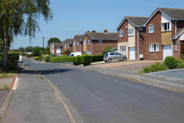
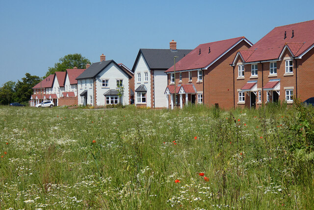
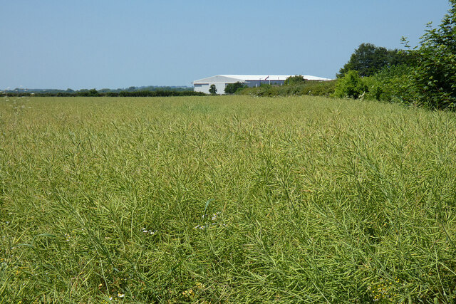
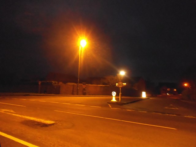
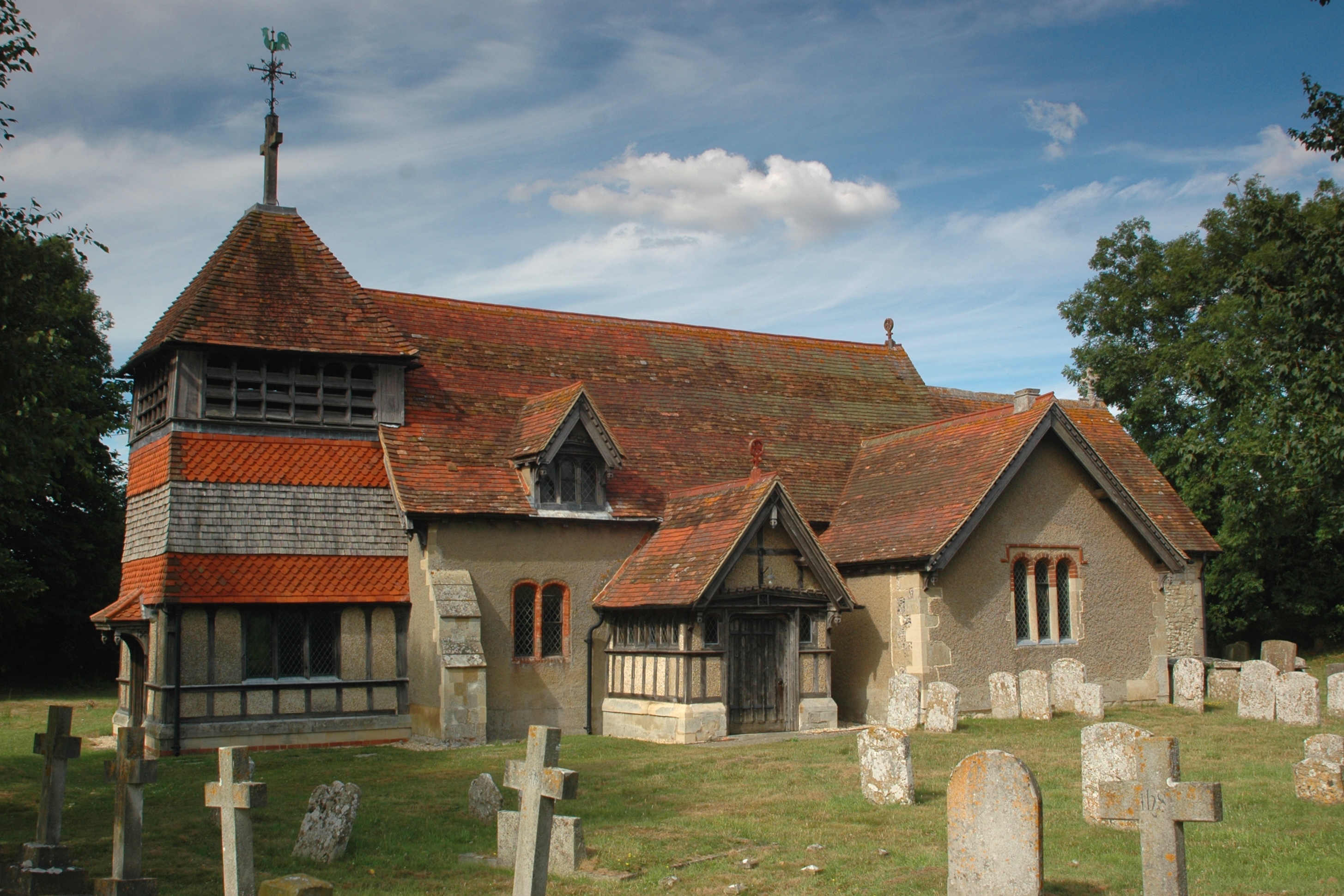
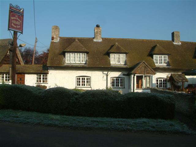
Images are sourced within 2km of 51.655187/-1.0787212 or Grid Reference SU6395. Thanks to Geograph Open Source API. All images are credited.


Cadwell Covert is located at Grid Ref: SU6395 (Lat: 51.655187, Lng: -1.0787212)
Administrative County: Oxfordshire
District: South Oxfordshire
Police Authority: Thames Valley
What 3 Words
///velocity.tastes.grudge. Near Chalgrove, Oxfordshire
Nearby Locations
Related Wikis

Chalgrove
Chalgrove is a village and civil parish in South Oxfordshire about 10 miles (16 km) southeast of Oxford. The parish includes the hamlet of Rofford and...

Brightwell Baldwin
Brightwell Baldwin is a village and civil parish in Oxfordshire, about 4+1⁄2 miles (7 km) northeast of Wallingford. It was historically in the Hundred...

Henley (UK Parliament constituency)
Henley is a constituency in Oxfordshire represented in the House of Commons of the UK Parliament since 2008 by John Howell, a Member of Parliament from...

South Oxfordshire
South Oxfordshire is a local government district in the ceremonial county of Oxfordshire, England. Its council is temporarily based outside the district...
Berrick Salome
Berrick Salome is a village and civil parish in South Oxfordshire, England, about 3 miles (5 km) north of Wallingford. Since the 1992 boundary changes...
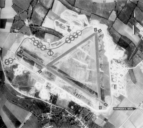
Chalgrove Airfield
Chalgrove Airfield (ICAO: EGLJ) is a former Second World War airfield in Oxfordshire, England. It is approximately 3 mi (4.8 km) north-northeast of Benson...
Roke
Roke is a hamlet in South Oxfordshire, about 3 miles (4.8 km) north of Wallingford. It has a sixteenth-century public house, the Home Sweet Home. It is...

Cuxham
Cuxham is a village and former civil parish, now in the parish of Cuxham with Easington, in the South Oxfordshire district, in the county of Oxfordshire...
Have you been to Cadwell Covert?
Leave your review of Cadwell Covert below (or comments, questions and feedback).