Cradock's Ashes
Wood, Forest in Leicestershire Charnwood
England
Cradock's Ashes

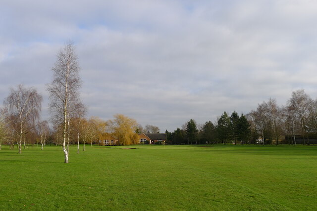
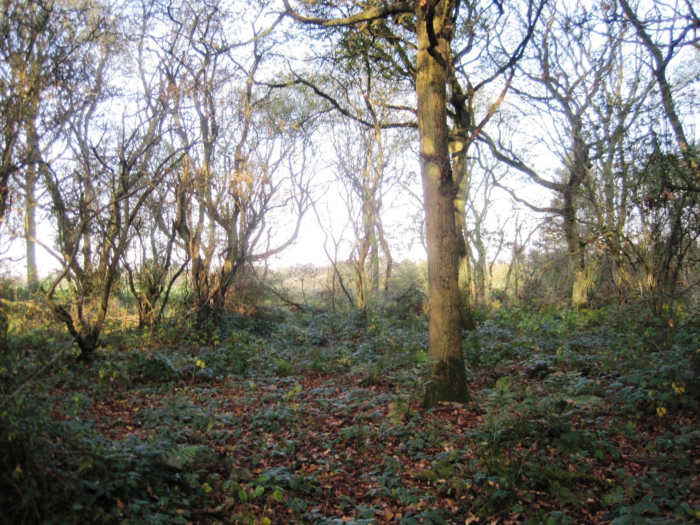
Cradock's Ashes is a wood located in Leicestershire, England. Covering an area of approximately 200 acres, it is a significant forested area that offers a tranquil and picturesque escape from the bustling city life.
The wood is primarily composed of ash trees, which lend their name to the area. These towering trees create a dense canopy, providing shade and shelter for a diverse range of flora and fauna. The forest floor is covered in a thick carpet of moss, ferns, and wildflowers, adding to the natural beauty of the wood.
Cradock's Ashes is also home to a variety of wildlife, including deer, foxes, badgers, and a wide array of bird species. Birdwatchers often frequent the wood, hoping to catch a glimpse of the elusive species that call it home.
The wood is crisscrossed by a network of well-maintained trails, making it accessible for walkers, hikers, and nature enthusiasts. These paths wind through the forest, leading visitors past serene ponds and babbling brooks, creating a peaceful and idyllic atmosphere.
In addition to its natural beauty, Cradock's Ashes holds historical significance. It is believed to have been named after a local landowner, whose family once owned the surrounding land. The wood has remained relatively untouched for centuries, preserving its natural charm and allowing visitors to experience a slice of Leicestershire's past.
Overall, Cradock's Ashes is a woodland oasis that offers a welcome respite from the modern world. With its lush foliage, abundant wildlife, and peaceful atmosphere, it is an ideal destination for those seeking a connection with nature in the heart of Leicestershire.
If you have any feedback on the listing, please let us know in the comments section below.
Cradock's Ashes Images
Images are sourced within 2km of 52.778985/-1.0573711 or Grid Reference SK6320. Thanks to Geograph Open Source API. All images are credited.


Cradock's Ashes is located at Grid Ref: SK6320 (Lat: 52.778985, Lng: -1.0573711)
Administrative County: Leicestershire
District: Charnwood
Police Authority: Leicestershire
What 3 Words
///cuff.gracing.vehicle. Near Wymeswold, Leicestershire
Nearby Locations
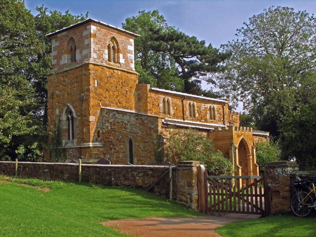
Related Wikis
Twenty Acre Piece
Twenty Acre Piece is an 8.1-hectare (20-acre) biological Site of Special Scientific Interest and registered common land east of Loughborough in Leicestershire...

Ragdale Hall
Ragdale Hall is a large hall in the Melton district of Leicestershire, England. == History == The original hall was built in 1785 in the late Georgian...

Seagrave
Seagrave is a village and civil parish in the Charnwood district of Leicestershire, England. It has a population of around 500, measured at the 2011 census...
Hoby with Rotherby
Hoby with Rotherby is a civil parish in Leicestershire, England. In the 2001 census it had a population of 594, reducing to 556 at the time of the 2011...

Goscote Wapentake
Goscote was a wapentake in the county of Leicestershire, England; consisting of the north and north-west of the county. It was recorded in the Domesday...
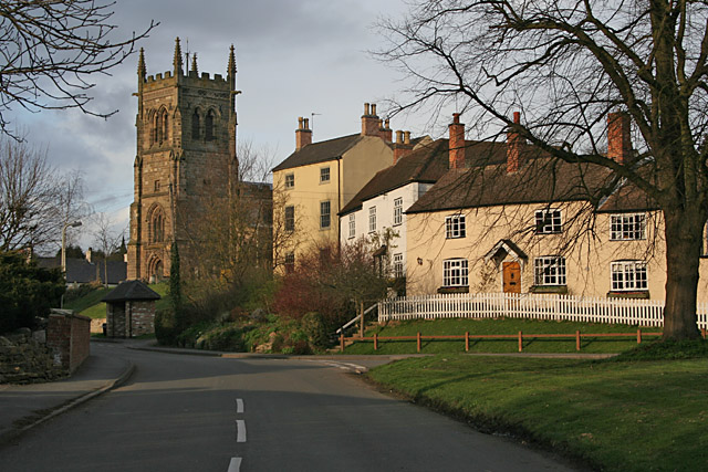
Wymeswold
Wymeswold () is a village and civil parish in the Charnwood district of Leicestershire, England. It is in the north of Leicestershire, and north-east of...

Walton on the Wolds
Walton on the Wolds is a village and civil parish in the Charnwood district of Leicestershire, England. In the United Kingdom Census 2011 the parish had...

Shoby
Shoby is a hamlet and former civil parish 12 miles (19 km) north east of Leicester, now in the parish of Grimston, in the Melton district, in the county...
Nearby Amenities
Located within 500m of 52.778985,-1.0573711Have you been to Cradock's Ashes?
Leave your review of Cradock's Ashes below (or comments, questions and feedback).