Queensgate Wood
Wood, Forest in Nottinghamshire Rushcliffe
England
Queensgate Wood

Queensgate Wood is a picturesque forest located in Nottinghamshire, England. Covering an area of approximately 100 acres, it is a popular destination for nature lovers and outdoor enthusiasts. The wood is situated near the town of East Bridgford, just a short drive from Nottingham city center.
The wood is known for its diverse ecosystem, consisting of a variety of tree species including oak, ash, birch, and beech. These trees create a dense canopy, providing shelter and a habitat for a wide range of wildlife. Visitors can often spot squirrels, rabbits, and various species of birds, such as woodpeckers and owls.
A network of well-maintained trails crisscrosses the wood, allowing visitors to explore its beauty on foot. These trails are suitable for both casual strolls and more adventurous hikes. Along the way, there are benches and picnic spots where visitors can rest and enjoy the tranquility of the surroundings.
Queensgate Wood is particularly enchanting during the spring and summer months when the forest floor is carpeted with vibrant wildflowers. Bluebells, primroses, and foxgloves create a stunning display of colors, attracting photographers and nature enthusiasts alike.
The wood is owned and managed by the local council, ensuring its preservation and accessibility for generations to come. Entrance to Queensgate Wood is free, and parking facilities are available nearby. Whether you are seeking a peaceful retreat or an opportunity to immerse yourself in nature, Queensgate Wood is a must-visit destination in Nottinghamshire.
If you have any feedback on the listing, please let us know in the comments section below.
Queensgate Wood Images
Images are sourced within 2km of 52.852468/-1.056315 or Grid Reference SK6328. Thanks to Geograph Open Source API. All images are credited.


Queensgate Wood is located at Grid Ref: SK6328 (Lat: 52.852468, Lng: -1.056315)
Administrative County: Nottinghamshire
District: Rushcliffe
Police Authority: Nottinghamshire
What 3 Words
///steepest.orchestra.wishes. Near Keyworth, Nottinghamshire
Nearby Locations
Related Wikis
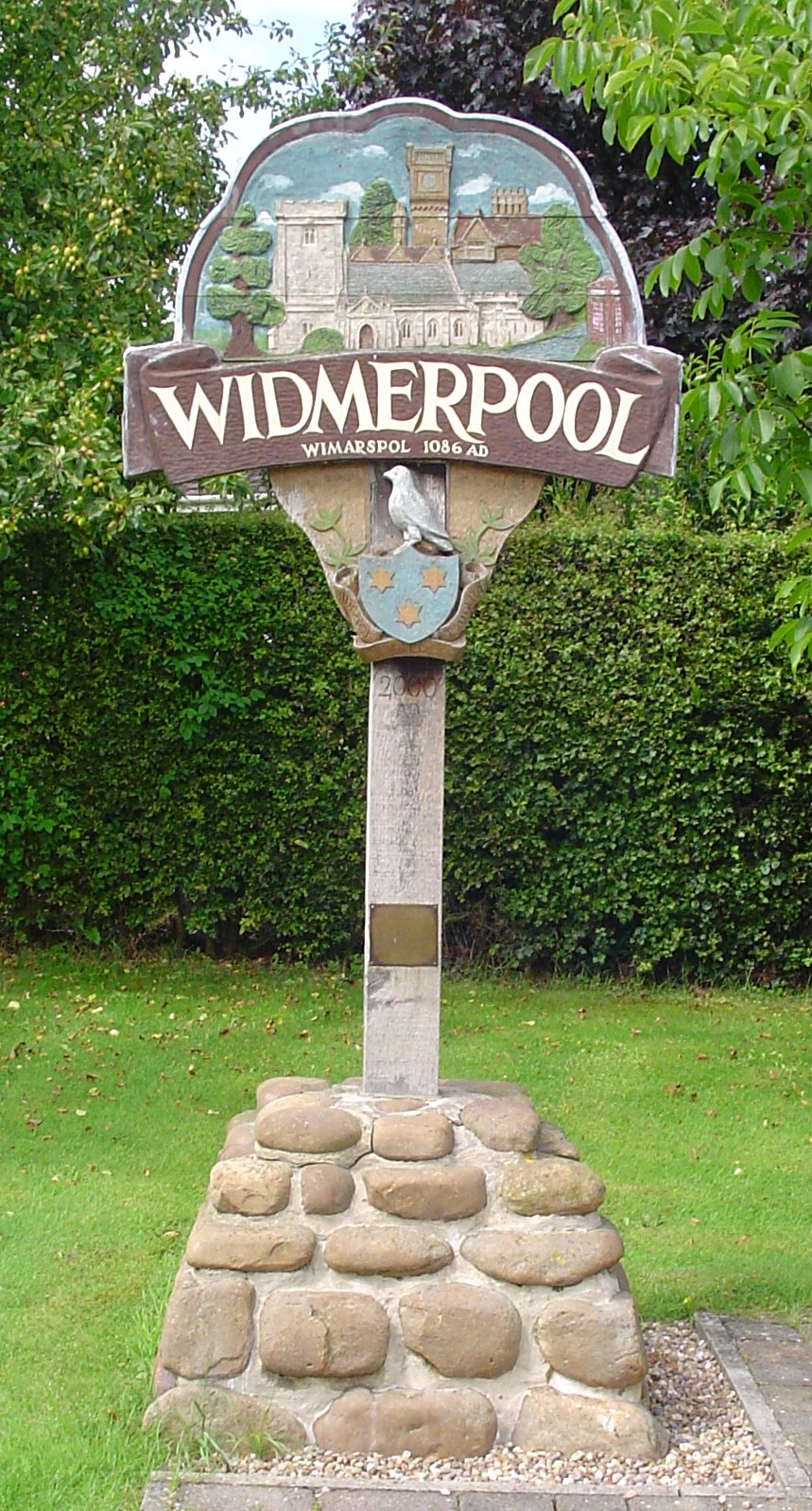
Widmerpool
Widmerpool is a village and civil parish in Nottinghamshire, about 10 miles south-south-east of Nottingham and some 7.5 miles north-east of Loughborough...
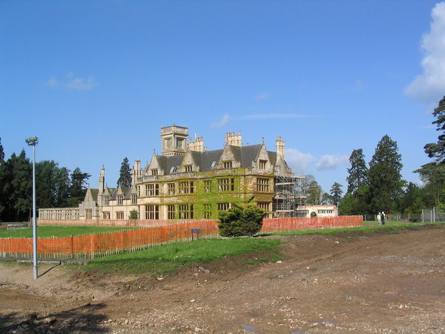
Widmerpool Hall
Widmerpool Hall is a Grade II listed English country house in Widmerpool, Nottinghamshire. Situated on the north side of the village, it was built in 1872...

St Peter and St Paul's Church, Widmerpool
St. Peter's Church, Widmerpool is a parish church in the Church of England in Widmerpool. == History == It is uncertain how long there has stood a church...

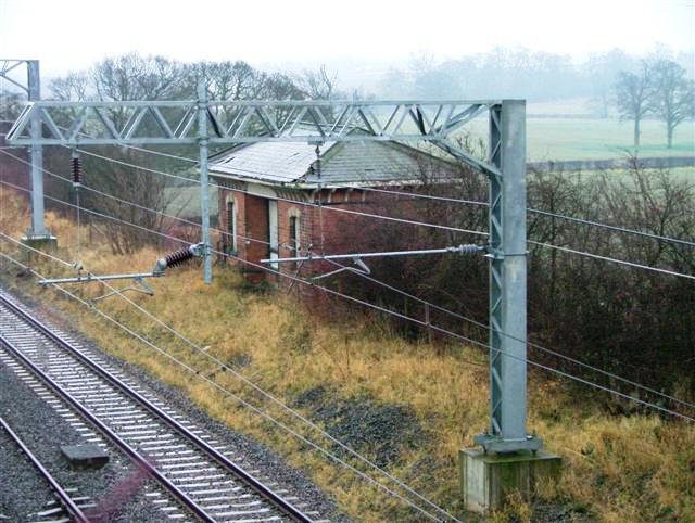
Widmerpool railway station
Widmerpool was a railway station serving Widmerpool in the English county of Nottinghamshire. It was situated on the Nottingham direct line of the Midland...

Stanton-on-the-Wolds
Stanton-on-the-Wolds is a small village and a civil parish in Nottinghamshire, England. It is situated about 6 miles (10 km) south-east of Nottingham,...
All Saints' Church, Stanton on the Wolds
All Saints' Church, Stanton-on-the-Wolds is a Grade II listed parish church in the Church of England in Stanton-on-the-Wolds. == History == The church...

Rushcliffe (UK Parliament constituency)
Rushcliffe is a constituency in Nottinghamshire represented in the House of Commons of the UK Parliament from 2019 by Ruth Edwards, a Conservative.From...

South Wolds Academy
The South Wolds Academy and Sixth Form (formerly known as South Wolds Community School, and before that, South Wolds Comprehensive) is a secondary school...
Nearby Amenities
Located within 500m of 52.852468,-1.056315Have you been to Queensgate Wood?
Leave your review of Queensgate Wood below (or comments, questions and feedback).