Dyer's Green
Settlement in Cambridgeshire South Cambridgeshire
England
Dyer's Green

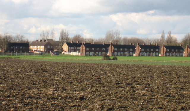
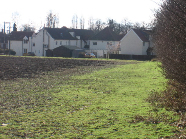
Dyer's Green is a small village located in the county of Cambridgeshire, England. Situated approximately 9 miles southeast of Cambridge, it is nestled amidst the picturesque countryside that characterizes this region. The village is home to a population of around 500 residents, creating a close-knit community atmosphere.
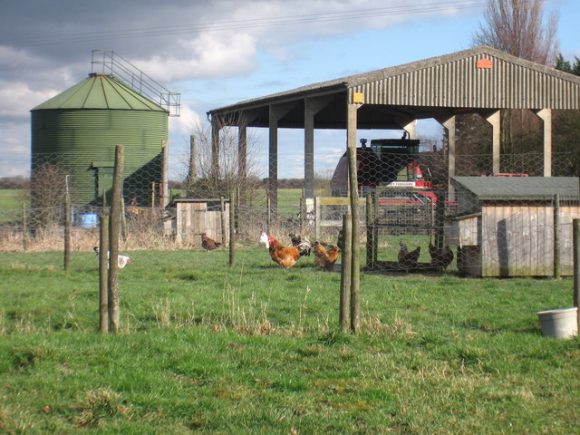
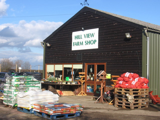
Dyer's Green is renowned for its charming and idyllic setting, with rolling green fields, meandering streams, and quaint cottages dotting the landscape. The village is surrounded by agricultural land, primarily used for farming and horticulture, contributing to the area's rustic appeal.
The heart of Dyer's Green is its village green, a central meeting point for locals and visitors alike. This green space provides a tranquil spot for recreational activities such as picnicking, playing sports, or simply enjoying the natural beauty of the surroundings. The village green also hosts seasonal events and fairs, fostering a sense of community spirit.
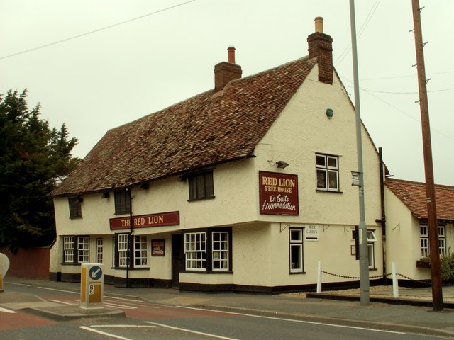
In terms of amenities, Dyer's Green boasts a local pub, The Green Inn, which serves as a gathering spot for residents to socialize and enjoy a drink or a meal. The village also has a primary school, ensuring that young families have access to quality education within their immediate vicinity.
Although Dyer's Green is a small village, its proximity to larger towns and cities, such as Cambridge, provides residents with access to a wider range of services and employment opportunities. The village is well-connected by road, making commuting to nearby areas convenient.
Overall, Dyer's Green is a picturesque and peaceful village, offering a serene countryside lifestyle while maintaining close connections to larger urban centers.
If you have any feedback on the listing, please let us know in the comments section below.
Dyer's Green Images
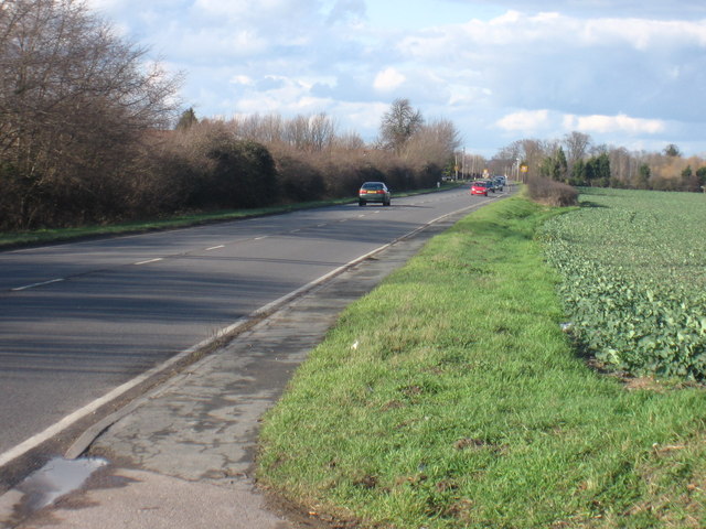
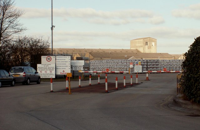
Images are sourced within 2km of 52.091872/-0.030103 or Grid Reference TL3545. Thanks to Geograph Open Source API. All images are credited.


Dyer's Green is located at Grid Ref: TL3545 (Lat: 52.091872, Lng: -0.030103)
Administrative County: Cambridgeshire
District: South Cambridgeshire
Police Authority: Cambridgeshire
What 3 Words
///unleashed.aunts.terms. Near Bassingbourn, Cambridgeshire
Nearby Locations
Related Wikis

Whaddon, Cambridgeshire
Whaddon is a village and civil parish in South Cambridgeshire, England, 6 kilometres (3.7 mi) north of Royston. == History == The parish of Whaddon covers...
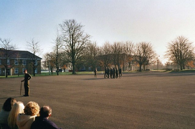
Bassingbourn Barracks
Bassingbourn Barracks is a Ministry of Defence installation located 3.2 miles (5.1 km) north of Royston, Hertfordshire and 10.6 miles (17.1 km) southwest...
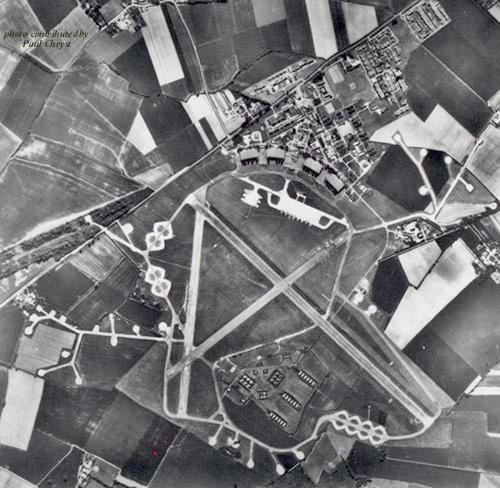
RAF Bassingbourn
Royal Air Force Bassingbourn or more simply RAF Bassingbourn is a former Royal Air Force station located in Cambridgeshire approximately 3 mi (5 km) north...
Meldreth
Meldreth is a village and civil parish in South Cambridgeshire, England, located around 10 miles (16 km) south-west of Cambridge. At the 2011 Census, the...
Bassingbourn cum Kneesworth
Bassingbourn cum Kneesworth is a civil parish in the South Cambridgeshire district of Cambridgeshire, England, 14 miles south-west of Cambridge and just...
Ford Wood
Ford Wood is a woodland in Cambridgeshire, England, near Bassingbourn. It covers a total area of 2.34 hectares (5.78 acres). It is owned and managed by...
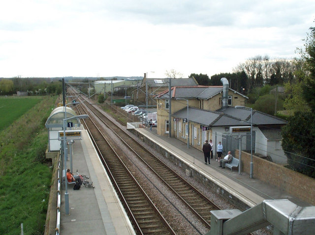
Meldreth railway station
Meldreth railway station serves the villages of Meldreth and Melbourn in Cambridgeshire, England. It is 47 miles 75 chains (47.94 miles, 77.15 km) from...
Bassingbourn Village College
Bassingbourn Village College is an academy school in Bassingbourn, just across the Cambridgeshire border from Royston, Hertfordshire. It currently has...
Nearby Amenities
Located within 500m of 52.091872,-0.030103Have you been to Dyer's Green?
Leave your review of Dyer's Green below (or comments, questions and feedback).