Dean Wood

Wood, Forest in Oxfordshire South Oxfordshire

England

Dean Wood

K6 telephone box and bus shelter, Cray's Pond
K6 telephone box and bus shelter, Cray's Pond Credit: JThomas

The requested URL returned error: 429 Too Many Requests

If you have any feedback on the listing, please let us know in the comments section below.
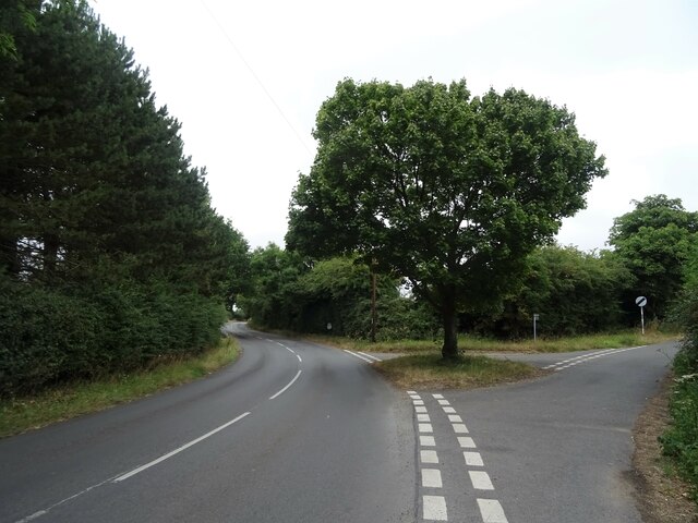
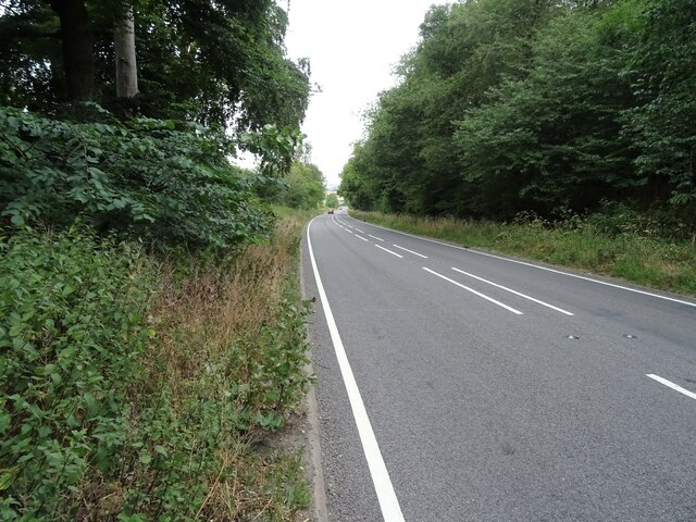
Dean Wood Images

Images are sourced within 2km of 51.538355/-1.0851331 or Grid Reference SU6382. Thanks to Geograph Open Source API. All images are credited.

K6 telephone box and bus shelter, Cray's Pond
Bus shelter on the B4256, Cray's Pond
The White Lion, Cray's Pond Not currently open (2022).
See <a href="https://www.geograph.org.uk/photo/2829589">SU6380 : The White Lion, Crays Pond</a> for happier times.
The White Lion, Cray's Pond
Not currently open (2022). See SU6380 : The White Lion, Crays Pond for happier times.
Garage and car sales, Cray's Pond
Gated track and footpath off Goring Road
Goring Road The B471 towards Woodcote.
Goring Road
The B471 towards Woodcote.
House on Goring Road
Roadworks on Goring Road (B471)
Recreation ground, Woodcote
Village sign, Woodcote
The Red Lion, Woodcote On Goring Road.
See <a href="https://www.geograph.org.uk/photo/7246411">SU6482 : Sign for the Red Lion, Woodcote</a> for sign.
The Red Lion, Woodcote
On Goring Road. See SU6482 : Sign for the Red Lion, Woodcote for sign.
Sign for the Red Lion, Woodcote See <a href="https://www.geograph.org.uk/photo/7246410">SU6482 : The Red Lion, Woodcote</a> for context.
Sign for the Red Lion, Woodcote
George VI postbox on Goring Road, Woodcote Postbox No. RG8 356.
George VI postbox on Goring Road, Woodcote
Postbox No. RG8 356.
Woodcote Village Hall
War Memorial, Woodcote
Fingerpost, Woodcote
Junction of Oxford Road / Tidmore Lane
Red Lane (A4074) Towards Oxford.
Red Lane (A4074)
Towards Oxford.
Show me another place!

Dean Wood is located at Grid Ref: SU6382 (Lat: 51.538355, Lng: -1.0851331)

Administrative County: Oxfordshire

District: South Oxfordshire

Police Authority: Thames Valley

What 3 Words

///conforms.clincher.activism. Near Goring, Oxfordshire

Nearby Locations

Dean Wood

Related Wikis

Woodcote

Woodcote is a village and civil parish in South Oxfordshire, about 5 miles (8 km) southeast of Wallingford and about 7 miles (11 km) northwest of Reading...

Langtree School

Langtree School is a coeducational secondary school located in the village of Woodcote in South Oxfordshire, England. The school has approximately 624...

Elvendon

Elvendon is a small settlement in Oxfordshire and the Chiltern Hills, near Goring. It includes the grade II listed building Elvendon Priory. == Etymology... ==

Braziers Park

Braziers Park is a Grade II* country house and estate on the edge of Ipsden - a small village near Wallingford, Oxfordshire, England - housing a secular...

Nearby Amenities

Located within 500m of 51.538355,-1.0851331
Barrier: kissing_gate
Bicycle: no
Foot: yes
Lat/Long: 51.5378015/-1.0916405
Barrier: kissing_gate
Bicycle: no
Foot: yes
Lat/Long: 51.5381345/-1.0911031
Generator Method: photovoltaic
Generator Output Electricity: yes
Generator Solar Modules: 20
Generator Source: solar
Generator Type: solar_photovoltaic_panel
Location: roof
Power: generator
Tilted: no
Lat/Long: 51.536936/-1.089653
The data included in this document is from www.openstreetmap.org. The data is made available under ODbL.

Have you been to Dean Wood?

Leave your review of Dean Wood below (or comments, questions and feedback).