Grange Plantation

Wood, Forest in Nottinghamshire Rushcliffe

England

Grange Plantation

Cotgrave village entrance sign On Plumtree Road, it shows the parish Church of All Saints. The new Cotgrave signs feature a variety of local landmarks.
Cotgrave village entrance sign Credit: Alan Murray-Rust

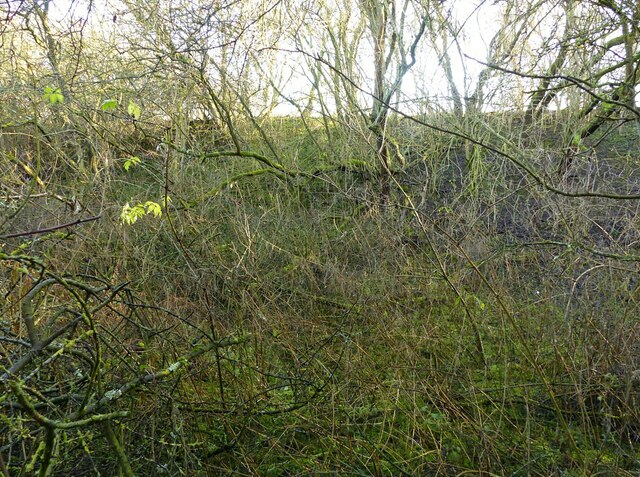
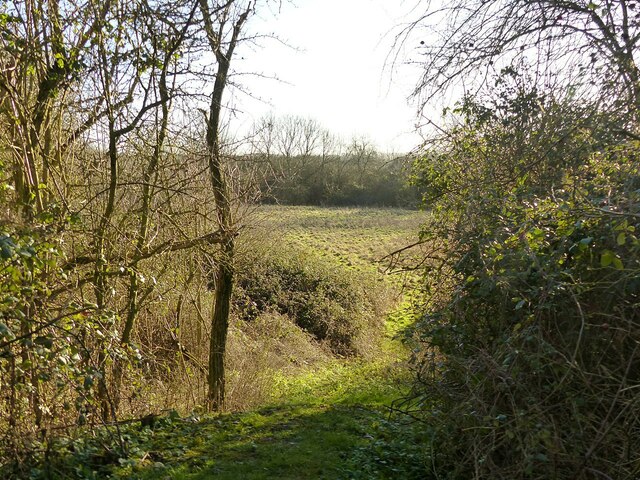
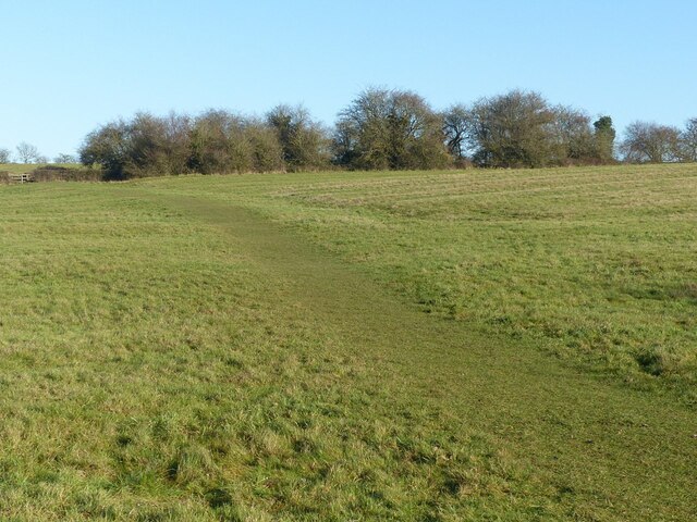
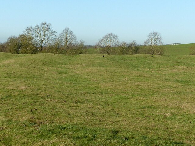
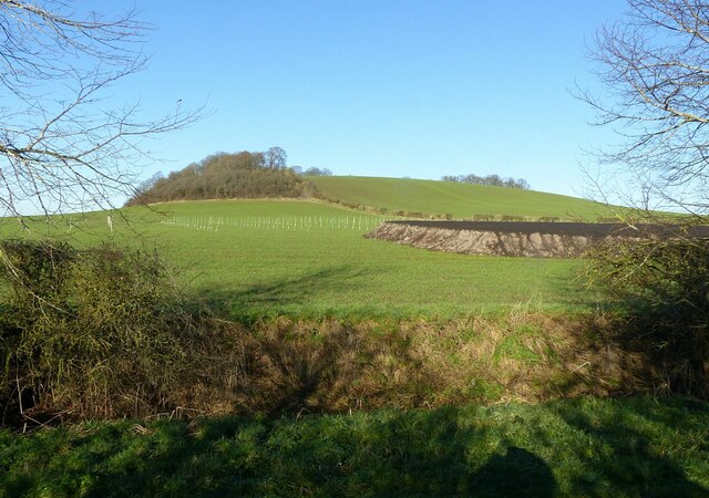
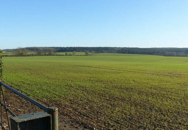
Grange Plantation, located in Nottinghamshire, England, is a picturesque woodland area situated within the larger Sherwood Forest. Spanning over 500 acres, it is known for its diverse flora and fauna, providing a haven for numerous species of plants and animals. The plantation is primarily composed of deciduous trees, including oak, birch, and beech, which create a vibrant and ever-changing landscape throughout the seasons.

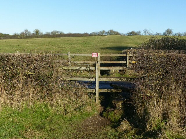
The woodland is intersected by a network of well-maintained footpaths, enabling visitors to explore the plantation and admire its natural beauty. These paths wind through ancient trees, allowing glimpses of the sunlight filtering through the dense foliage, creating a tranquil and enchanting atmosphere. The plantation is also crisscrossed by small streams and brooks, adding to the overall charm and providing a water source for the local wildlife.

Grange Plantation is home to a rich variety of wildlife, from small mammals like badgers and foxes to a plethora of bird species. It is a popular destination for birdwatchers, who can spot woodpeckers, owls, and various migratory birds throughout the year. In addition, the plantation supports a diverse range of insects, including butterflies and beetles, making it an ideal location for entomologists and nature enthusiasts.

The plantation is managed by local authorities in collaboration with conservation organizations to ensure the preservation of its ecological integrity. Efforts have been made to maintain the natural balance of the woodland, allowing it to thrive as a habitat for a wide range of species. Grange Plantation offers a peaceful retreat for visitors seeking solace in nature and serves as a valuable ecological resource in the Nottinghamshire region.

If you have any feedback on the listing, please let us know in the comments section below.

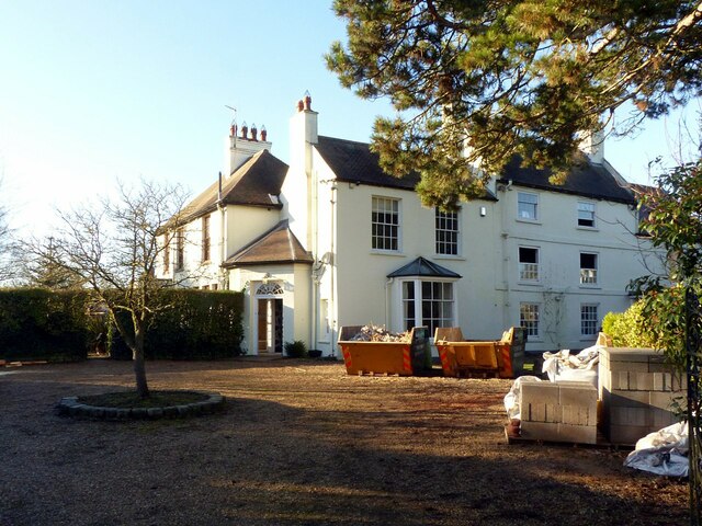
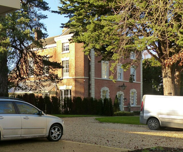
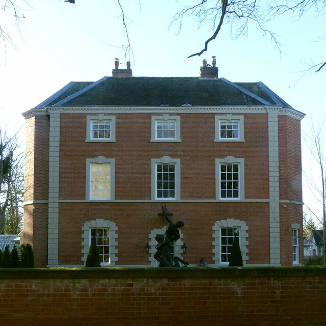
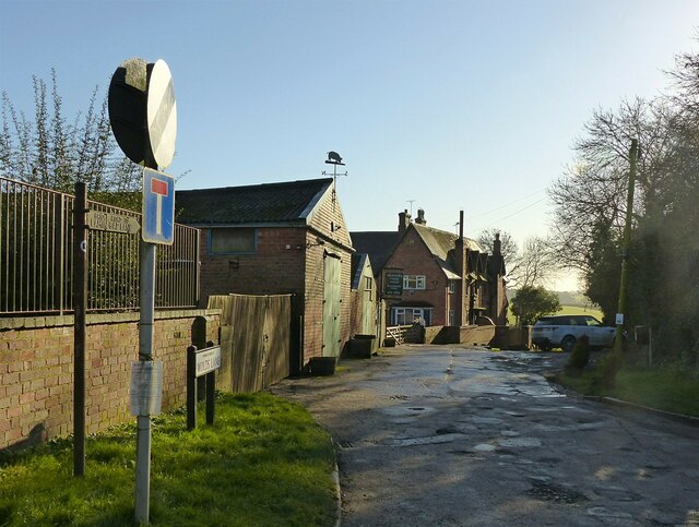
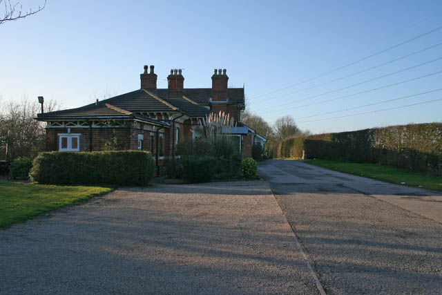
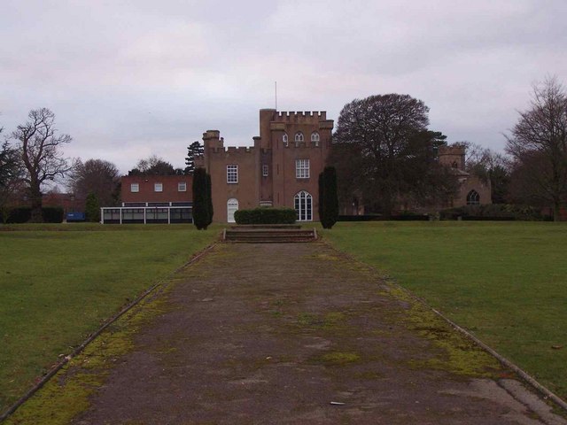
Grange Plantation Images

Images are sourced within 2km of 52.892063/-1.0579823 or Grid Reference SK6333. Thanks to Geograph Open Source API. All images are credited.

Cotgrave village entrance sign On Plumtree Road, it shows the parish Church of All Saints. The new Cotgrave signs feature a variety of local landmarks.
Cotgrave village entrance sign
On Plumtree Road, it shows the parish Church of All Saints. The new Cotgrave signs feature a variety of local landmarks.
Plumtree Road, Cotgrave Recreating this 'First' for the square <a title="https://www.geograph.org.uk/photo/51977" href="https://www.geograph.org.uk/photo/51977">Link</a>
Plumtree Road, Cotgrave
Recreating this 'First' for the square Link
Woodgate Lane, Cotgrave Unadopted road, classified as a public bridleway. The works were connected with a main gas pipe.
Woodgate Lane, Cotgrave
Unadopted road, classified as a public bridleway. The works were connected with a main gas pipe.
Barn at Avenue Farm, Normanton Large late 18th century barn, converted to residential use in the early 21st century. Listed Grade II.
Barn at Avenue Farm, Normanton
Large late 18th century barn, converted to residential use in the early 21st century. Listed Grade II.
Avenue Farmhouse, Normanton Late 18th century house with late 19th century alterations, Listed Grade II. The garden wall with its attractive gateway is included in the Listing.
Avenue Farmhouse, Normanton
Late 18th century house with late 19th century alterations, Listed Grade II. The garden wall with its attractive gateway is included in the Listing.
Normanton Grange The tallest, three storey section to the right is the oldest part of the house, dating from the mid 18th century. The section to its left is early 19th century and the section to the left of the entrance dates from around 1900. Listed Grade II.
Normanton Grange
The tallest, three storey section to the right is the oldest part of the house, dating from the mid 18th century. The section to its left is early 19th century and the section to the left of the entrance dates from around 1900. Listed Grade II.
Normanton House Late 18th century Georgian 3-bay house with 19th century additions, including the octagonal bay seen here. Listed Grade II.
Normanton House
Late 18th century Georgian 3-bay house with 19th century additions, including the octagonal bay seen here. Listed Grade II.
Normanton House, main front Late 18th century Georgian 3-bay house with 19th century additions, including the octagonal bays at the sides. Listed Grade II.
Normanton House, main front
Late 18th century Georgian 3-bay house with 19th century additions, including the octagonal bays at the sides. Listed Grade II.
Earthwork mapped as 'Pond Bay' This is the dam for an extensive mill pond, and dates from the medieval period. As such it represents an unusually large such dam, rising at least 15 metres in the centre with an overall length of at least 150 metres. The pond does not appear on any OS mapping so had clearly become disused at a relatively early stage.

OS mapping uses 'Old English' type face for the name, but the earthwork has no historical designation. The local conservation area appraisal does however note its significance.
Earthwork mapped as 'Pond Bay'
This is the dam for an extensive mill pond, and dates from the medieval period. As such it represents an unusually large such dam, rising at least 15 metres in the centre with an overall length of at least 150 metres. The pond does not appear on any OS mapping so had clearly become disused at a relatively early stage. OS mapping uses 'Old English' type face for the name, but the earthwork has no historical designation. The local conservation area appraisal does however note its significance.
View from the north end of the mill dam (“Pond Bay”) Looking into the area which would have formed the mill pond.  See <a title="https://www.geograph.org.uk/photo/7074117" href="https://www.geograph.org.uk/photo/7074117">Link</a> for more information.
View from the north end of the mill dam (“Pond Bay”)
Looking into the area which would have formed the mill pond. See Link for more information.
Fields above Normanton Showing very clear evidence of medieval strip cultivation. The path is part of the Notts Wolds Way long distance path.
Fields above Normanton
Showing very clear evidence of medieval strip cultivation. The path is part of the Notts Wolds Way long distance path.
Fields above Normanton Showing very clear evidence of medieval strip cultivation.
Fields above Normanton
Showing very clear evidence of medieval strip cultivation.
Stiles at the lane to Wolds Farm, Normanton The path is part of the Notts Wolds Way long distance path.
Stiles at the lane to Wolds Farm, Normanton
The path is part of the Notts Wolds Way long distance path.
Hoe Hill near Normanton-on-the-Wolds Recreating this 'First' for the square <a title="https://www.geograph.org.uk/photo/186175" href="https://www.geograph.org.uk/photo/186175">Link</a> .

The sticks in the field probably indicate some experiment or trial in progress.
Hoe Hill near Normanton-on-the-Wolds
Recreating this 'First' for the square Link . The sticks in the field probably indicate some experiment or trial in progress.
Farmland near Normanton-on-the-Wolds Recreating this 'First' for the square <a title="https://www.geograph.org.uk/photo/186157" href="https://www.geograph.org.uk/photo/186157">Link</a>
Farmland near Normanton-on-the-Wolds
Recreating this 'First' for the square Link
Bench mark at Hall Farm, Clipston on the Wolds See <a title="https://www.geograph.org.uk/photo/7074136" href="https://www.geograph.org.uk/photo/7074136">Link</a> for location.
Bench mark at Hall Farm, Clipston on the Wolds
See Link for location.
Church Gate, Clipston on the Wolds The road probably takes its name for the long defunct chapel adjacent to Glebe Farm. Here it forms part of the Notts Wolds Way long distance path.

There is a benchmark <a title="https://www.geograph.org.uk/photo/7074134" href="https://www.geograph.org.uk/photo/7074134">Link</a> on the wall to the right.
Church Gate, Clipston on the Wolds
The road probably takes its name for the long defunct chapel adjacent to Glebe Farm. Here it forms part of the Notts Wolds Way long distance path. There is a benchmark Link on the wall to the right.
The Hamlet of "Clipston on the Wolds" Recreating this 'First' for the square <a title="https://www.geograph.org.uk/photo/51973" href="https://www.geograph.org.uk/photo/51973">Link</a> .

The 30 mph speed limit was introduced around 2010. The lane forms part of the Notts Wolds Way long distance path.
The Hamlet of "Clipston on the Wolds"
Recreating this 'First' for the square Link . The 30 mph speed limit was introduced around 2010. The lane forms part of the Notts Wolds Way long distance path.
Show me another place!

Grange Plantation is located at Grid Ref: SK6333 (Lat: 52.892063, Lng: -1.0579823)

Administrative County: Nottinghamshire

District: Rushcliffe

Police Authority: Nottinghamshire

What 3 Words

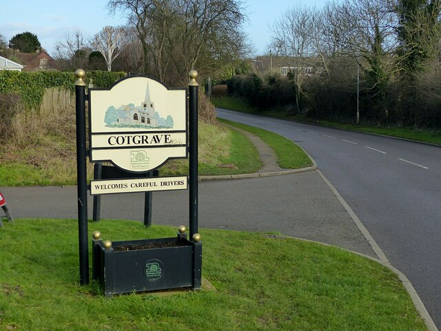
///airliners.sober.hairspray. Near Cotgrave, Nottinghamshire

Nearby Locations

Clipston Grange Plantation

Related Wikis

Clipston, Nottinghamshire

Clipston, or Clipston on the Wolds, is a small English village and civil parish in the south Nottinghamshire district of Rushcliffe. It lies between Cotgrave...

Rushcliffe

Rushcliffe is a local government district with borough status in south Nottinghamshire, England. Its council is based in West Bridgford. The borough also...

Normanton-on-the-Wolds

Normanton-on-the-Wolds is a small village in Nottinghamshire, England. Population in 2011 was 245. Acreage 1053. == Overview == The name "Normanton" (Norwegian...

Plumtree railway station

Plumtree railway station served Plumtree in the English county of Nottinghamshire, on the Nottingham direct line of the Midland Railway between London...

Church of St Mary the Virgin, Plumtree

The Church of St Mary the Virgin, Plumtree is a parish church in the Church of England in Plumtree, Nottinghamshire. The church is Grade II listed by the...

All Saints' Church, Cotgrave

All Saints’ Church is a Grade I listed Church of England parish church in the Diocese of Southwell and Nottingham in Cotgrave. == History == The church...

St Hugh's College, Tollerton

St Hugh's College (also referred to as Tollerton Hall and Roclaveston Manor) was a Roman Catholic minor seminary in Tollerton founded by the Diocese of...

St Peter's Church, Tollerton

St. Peter's Church is a Grade-II listed church located in Tollerton, Nottinghamshire, England. == History == There has been a church in Tollerton since...

Nearby Amenities

Located within 500m of 52.892063,-1.0579823
Power: tower
Source: OS OpenData VectoMap District
Lat/Long: 52.8884089/-1.0620565
Power: tower
Source: OS OpenData VectoMap District
Lat/Long: 52.8891236/-1.0573484
Power: tower
Source: OS OpenData VectoMap District
Lat/Long: 52.8897554/-1.0533108
The data included in this document is from www.openstreetmap.org. The data is made available under ODbL.

Have you been to Grange Plantation?

Leave your review of Grange Plantation below (or comments, questions and feedback).